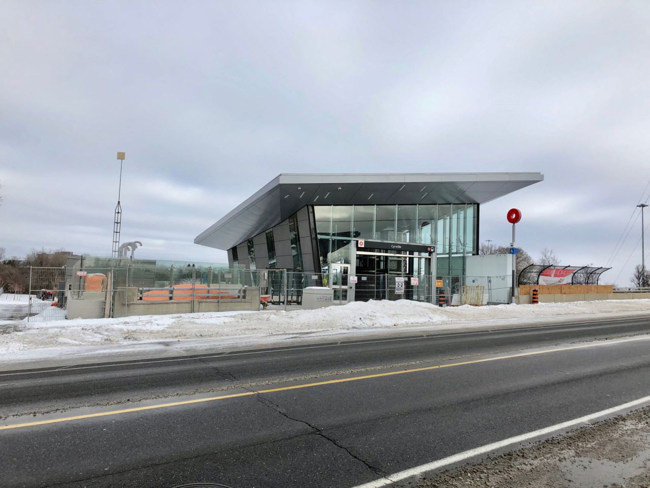
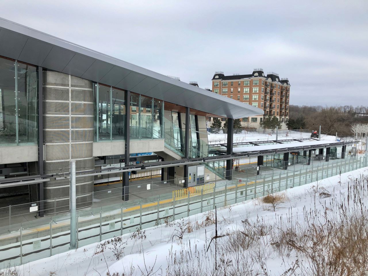
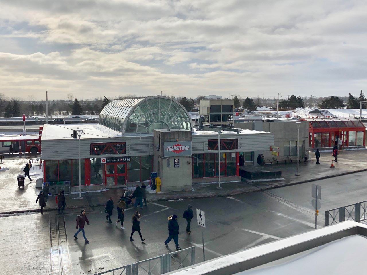
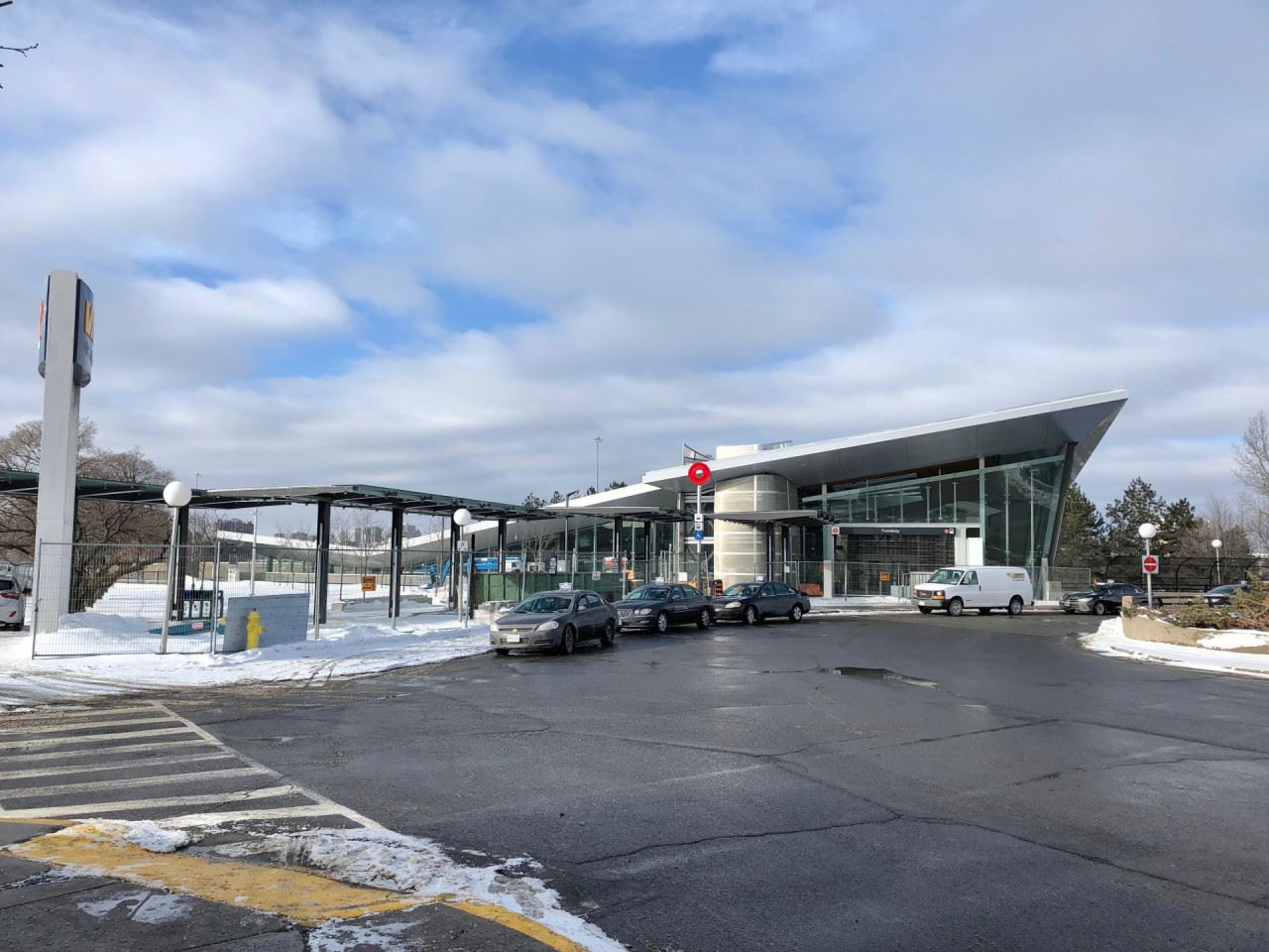
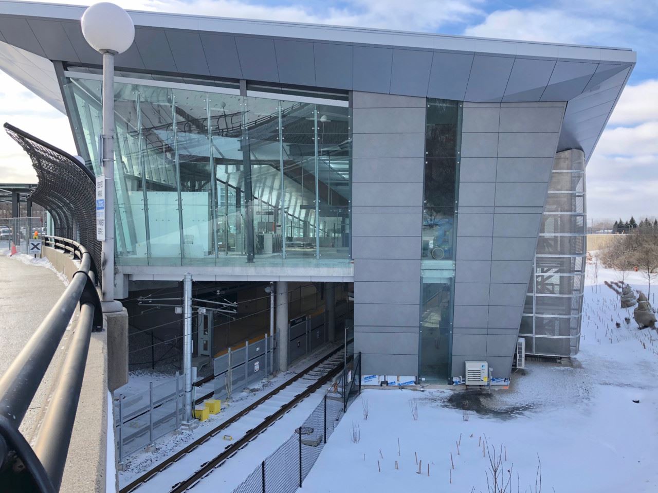
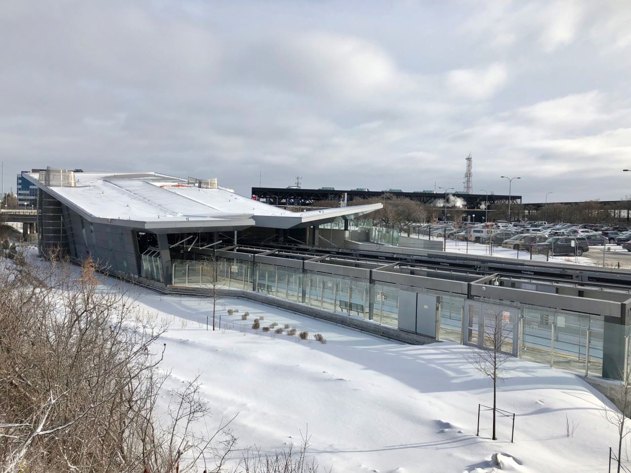
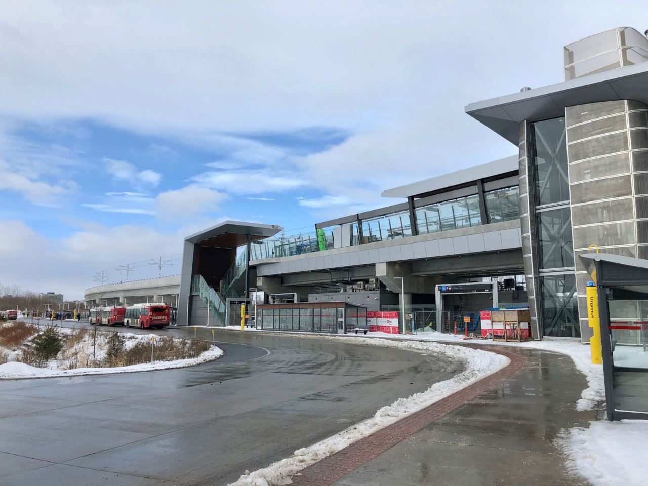
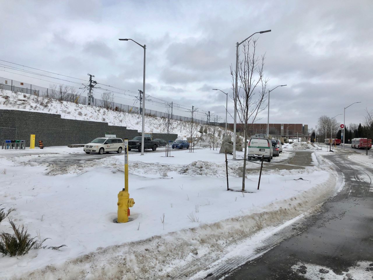
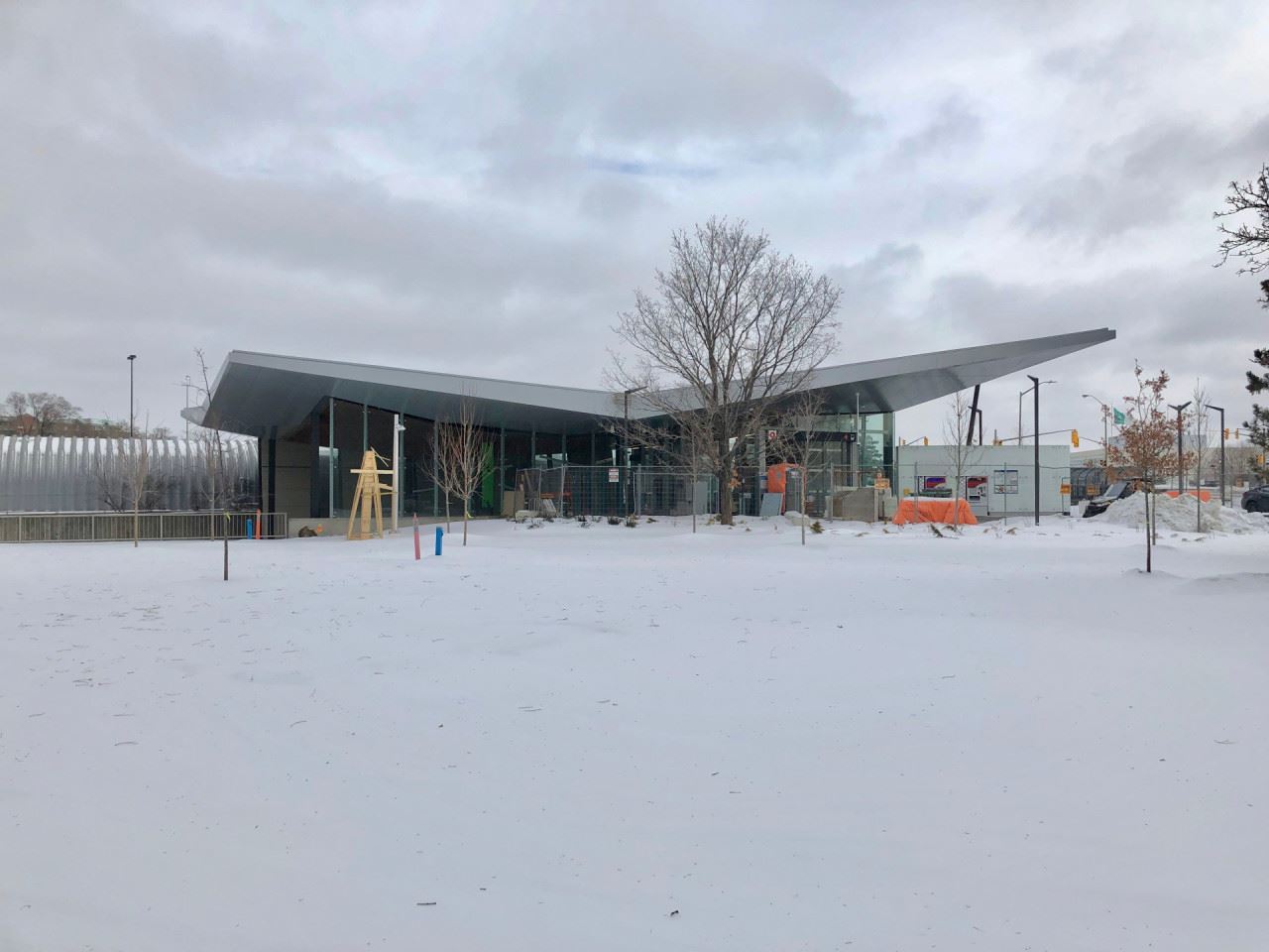
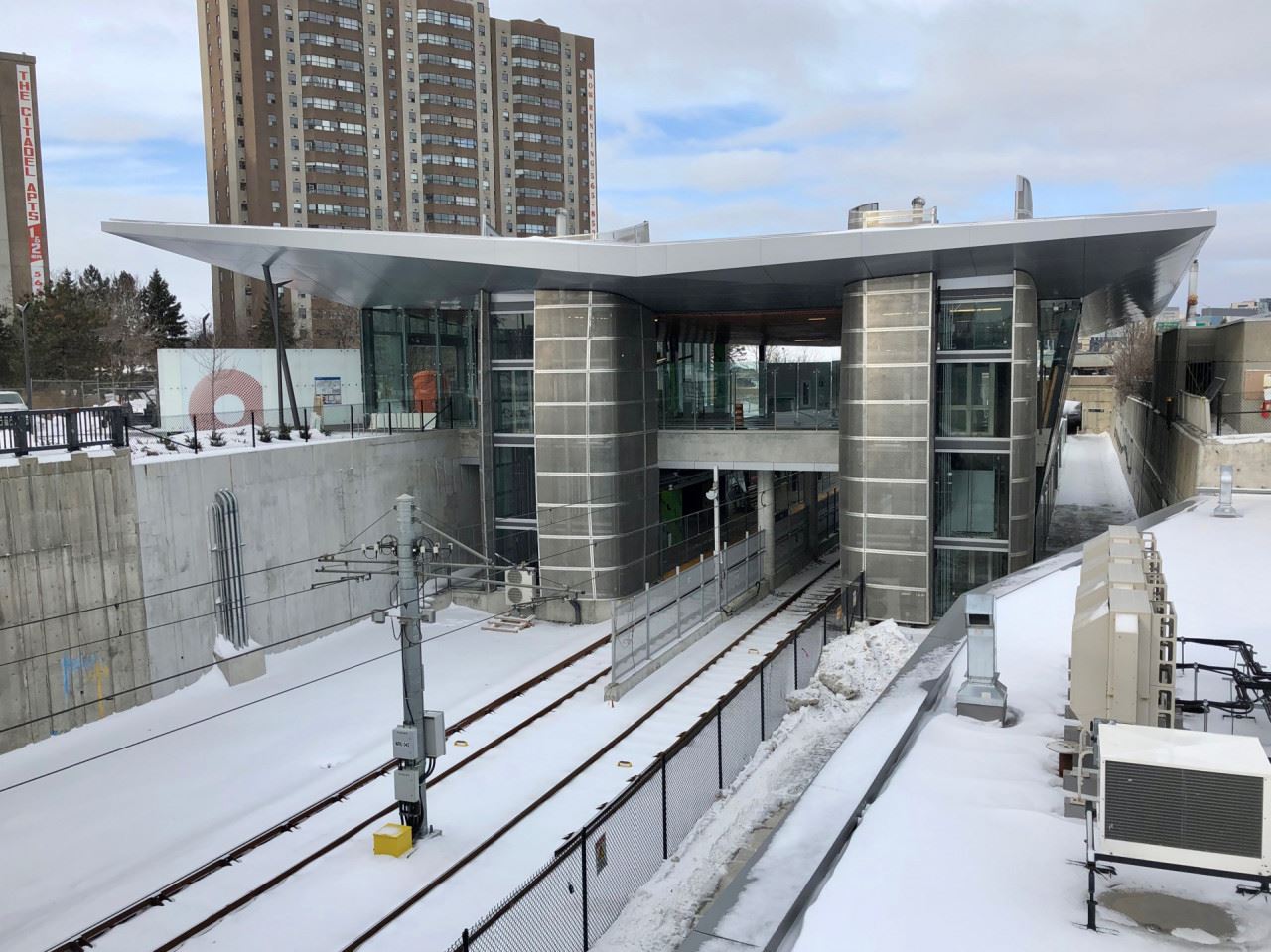
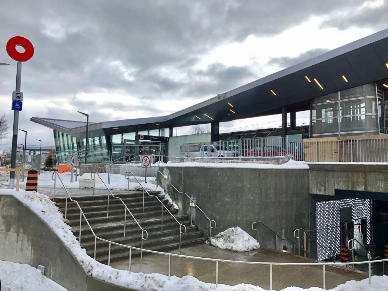
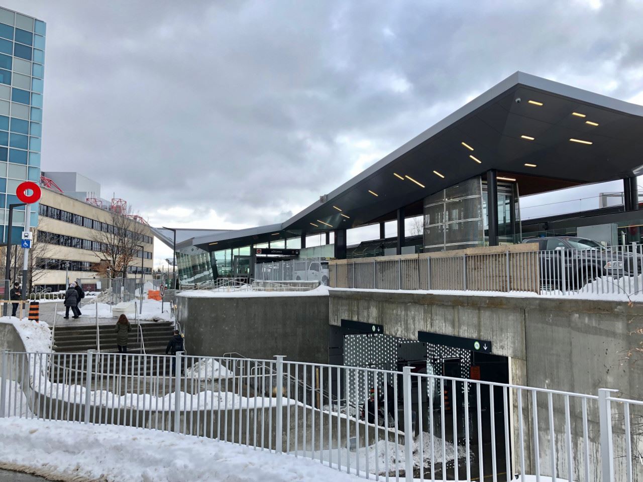
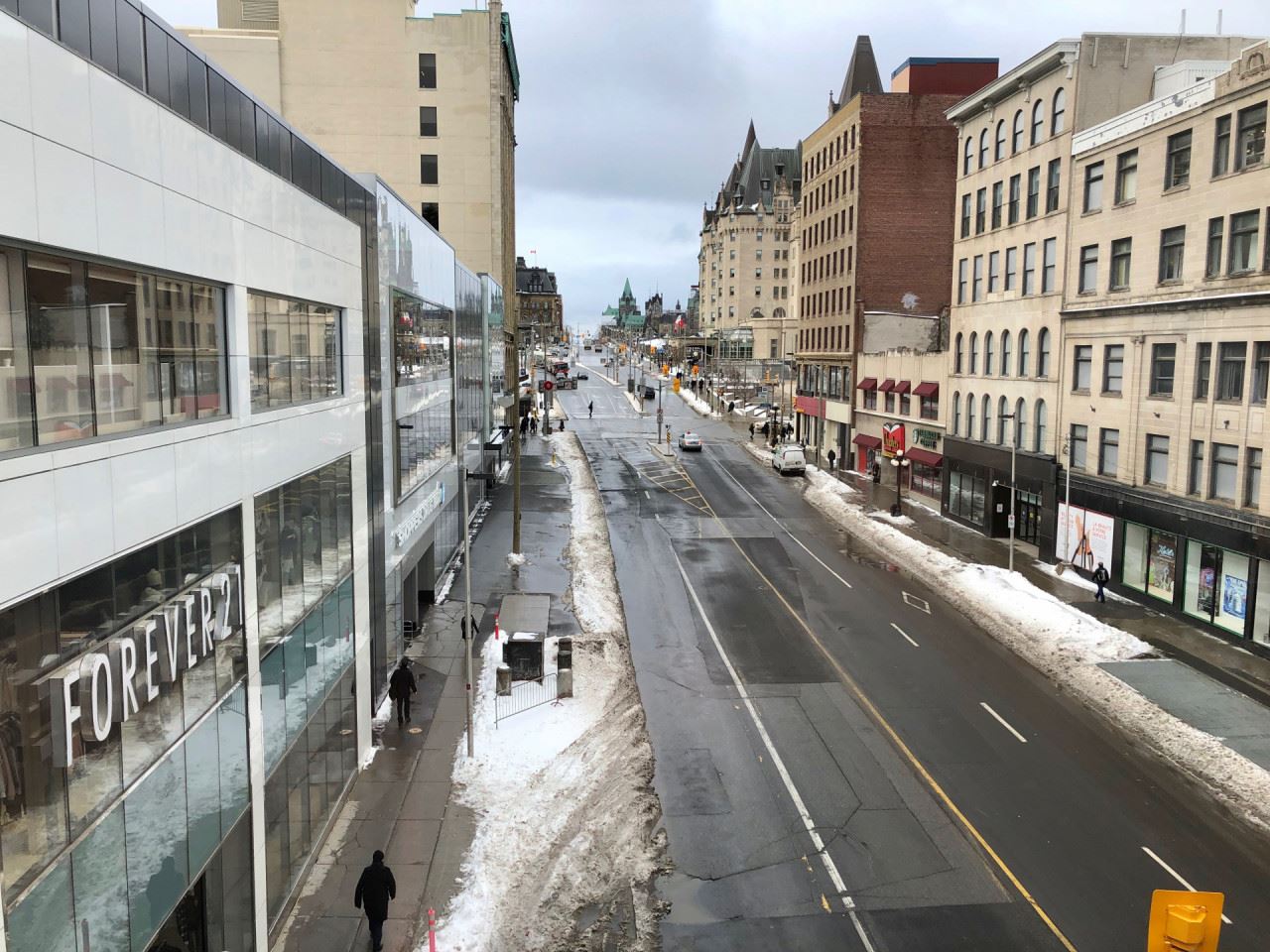
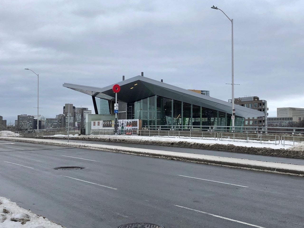
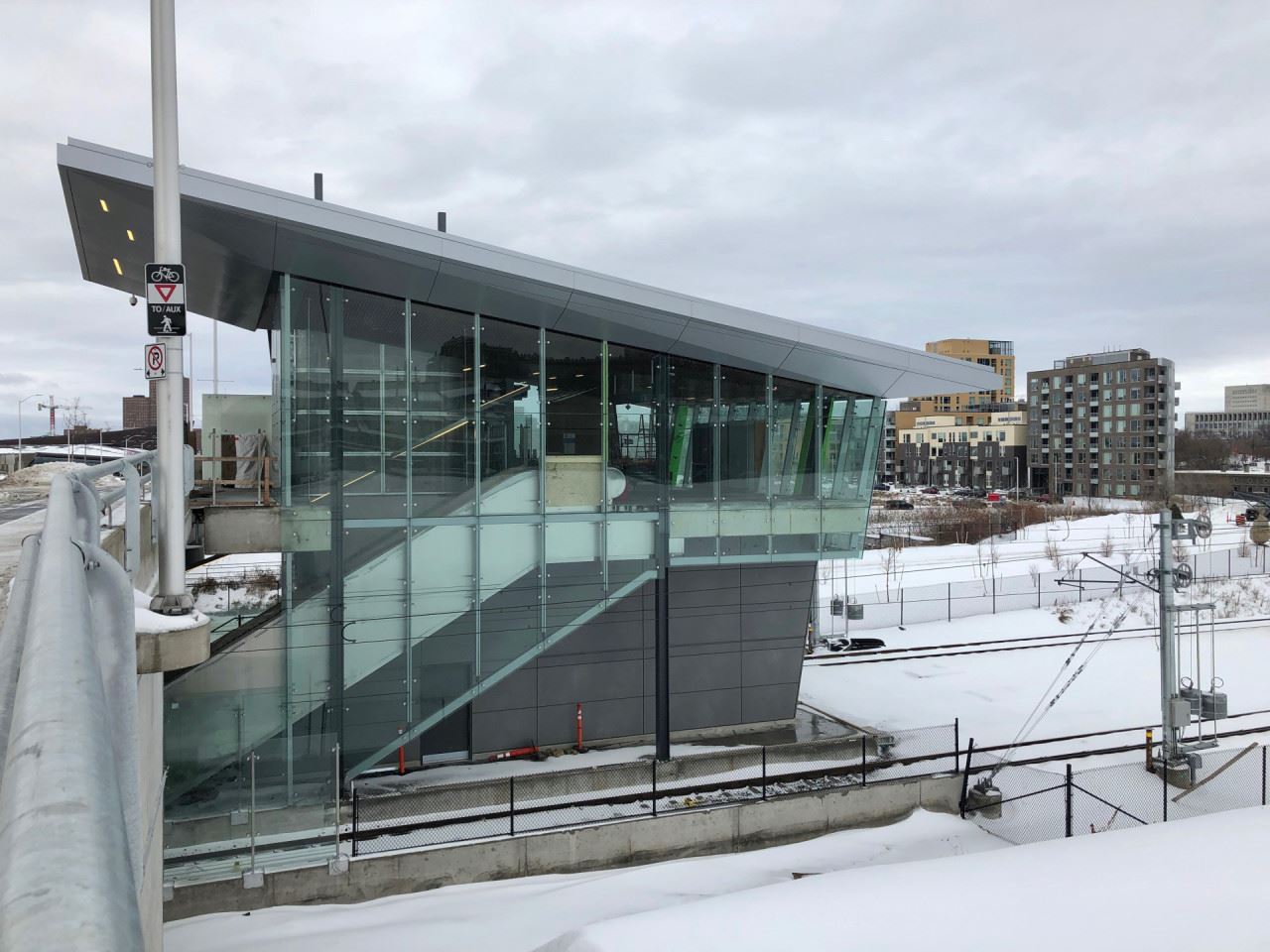
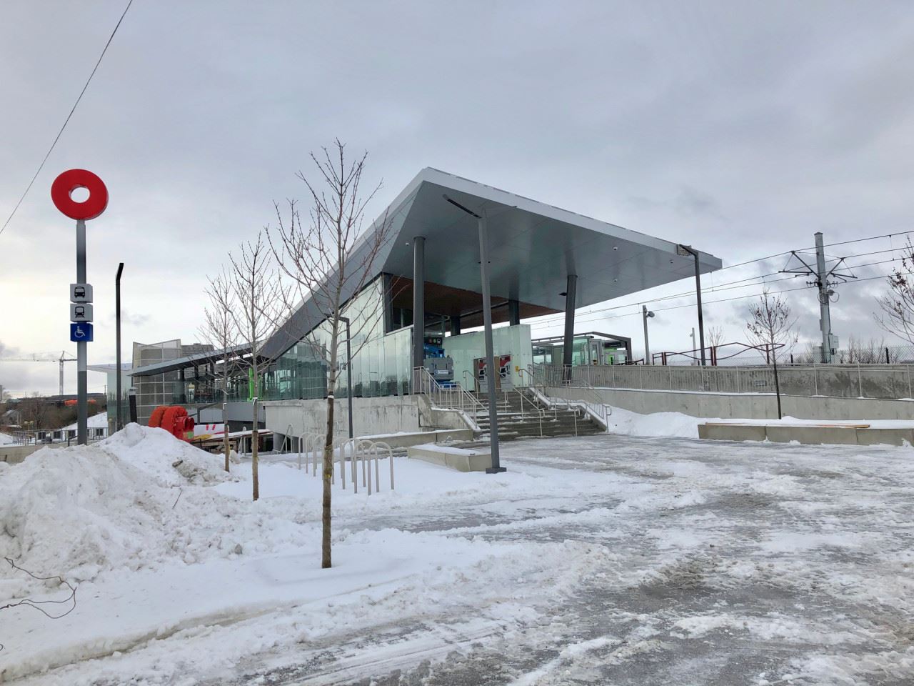
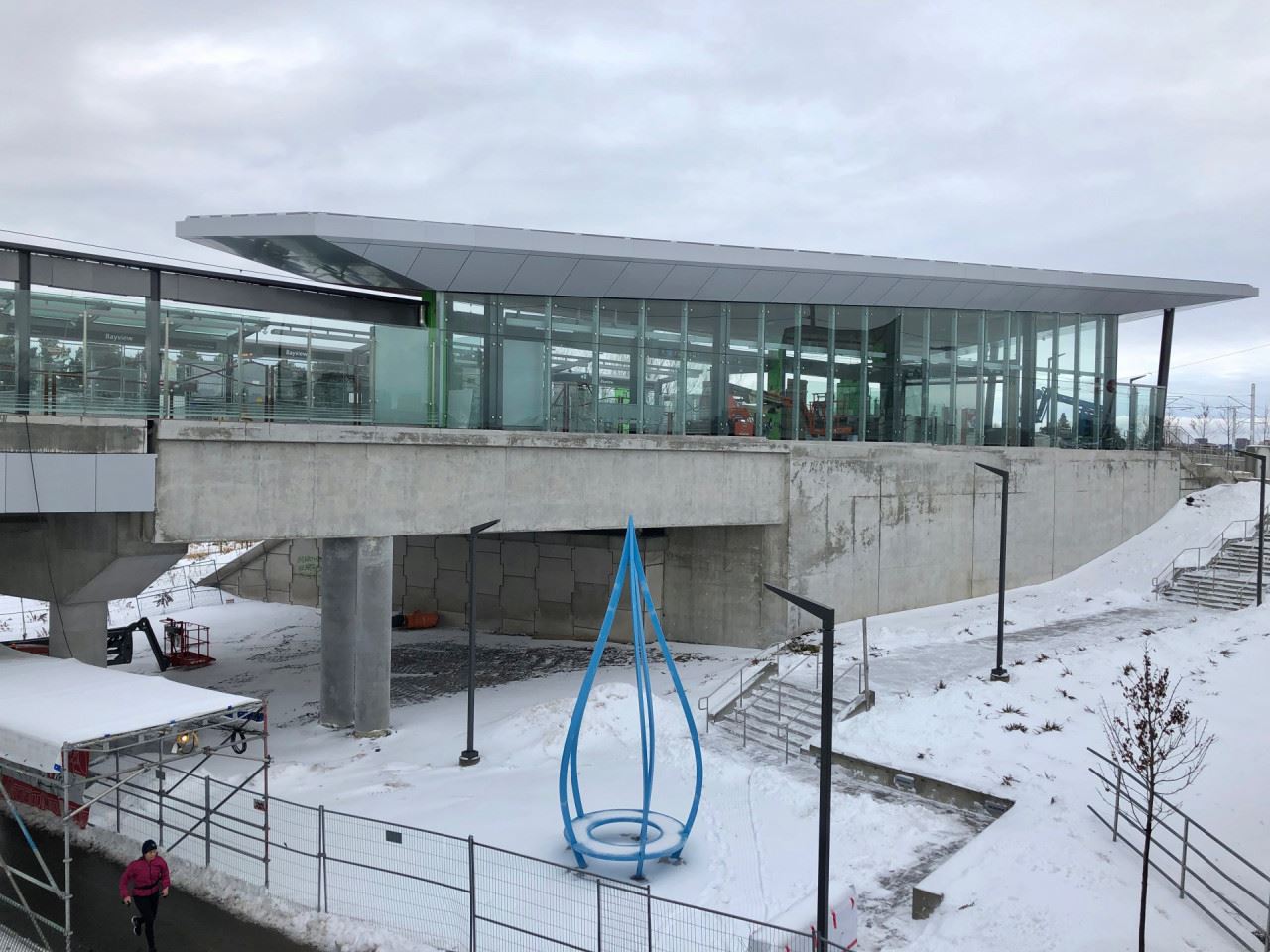
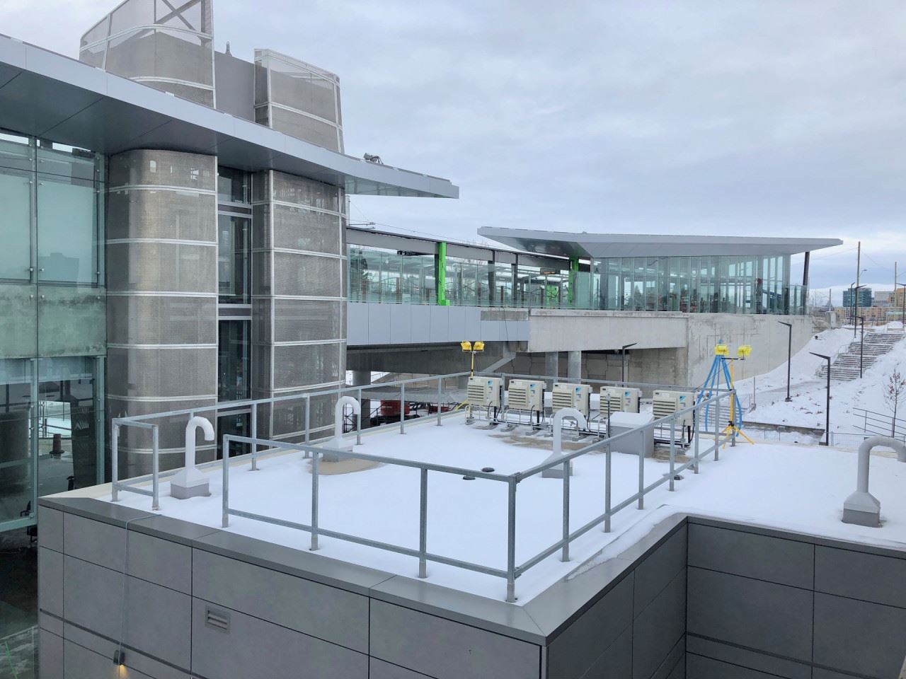
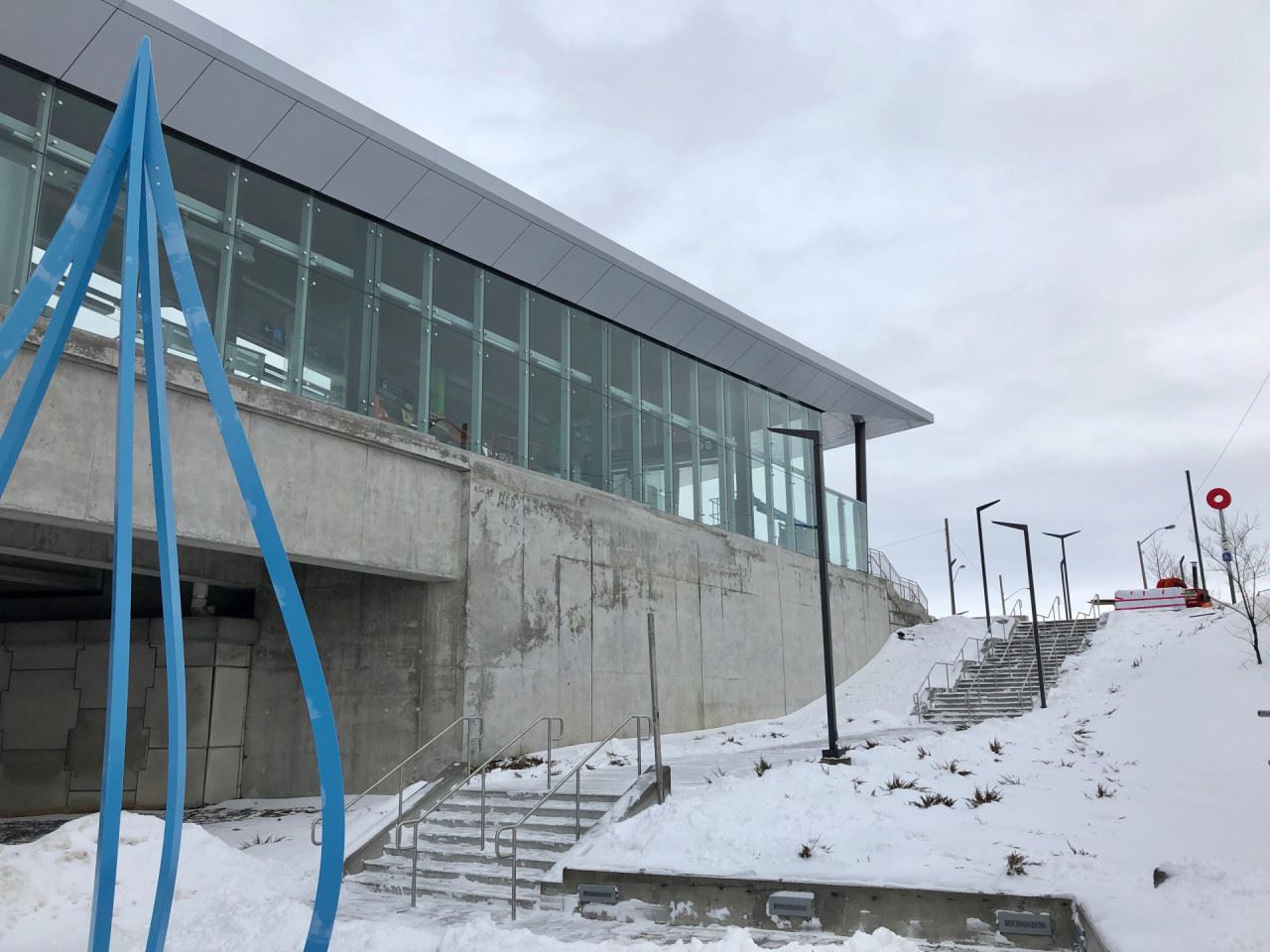
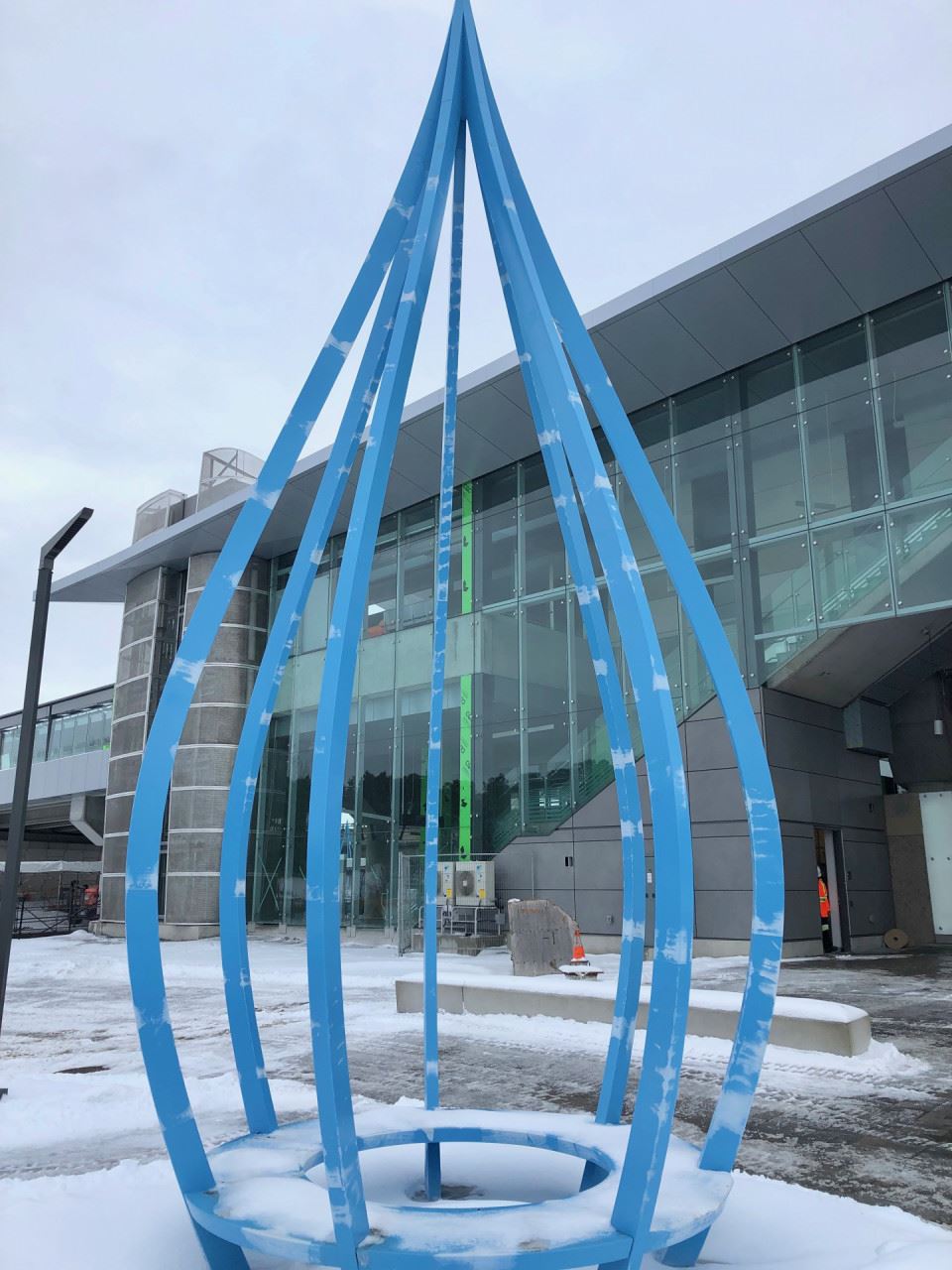
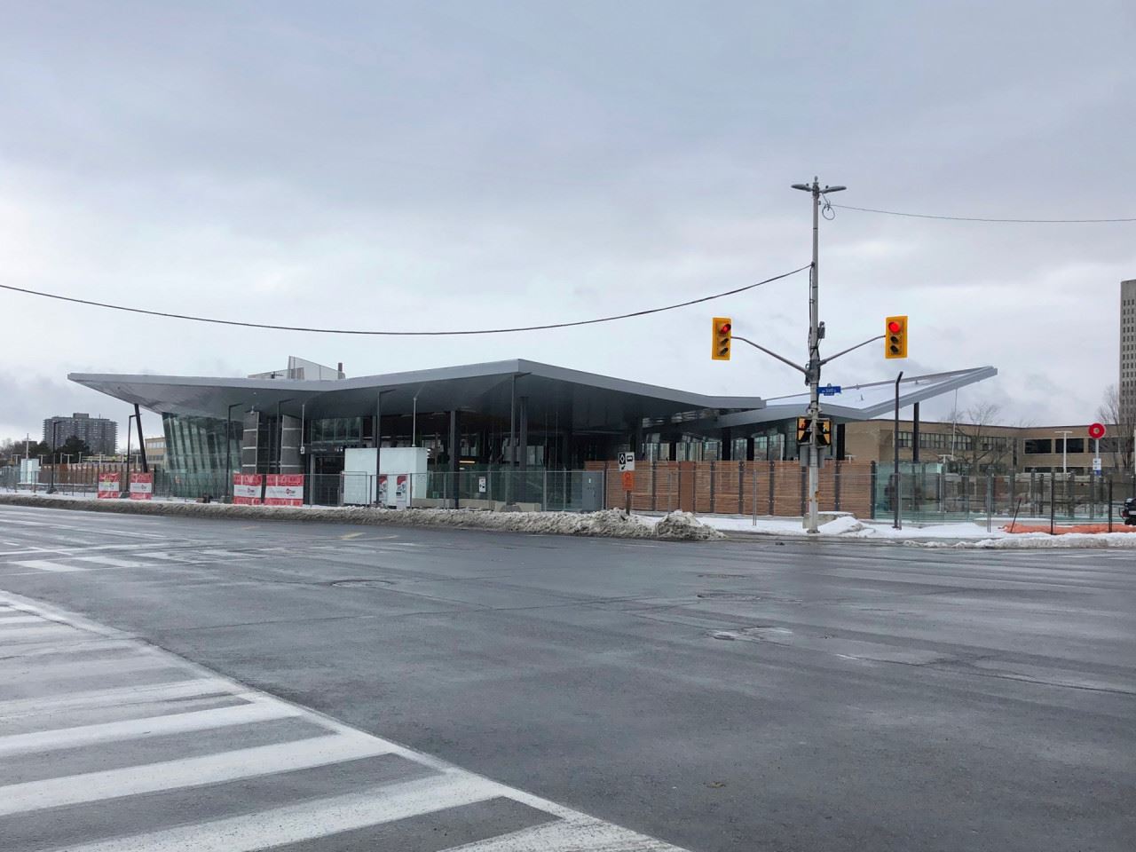
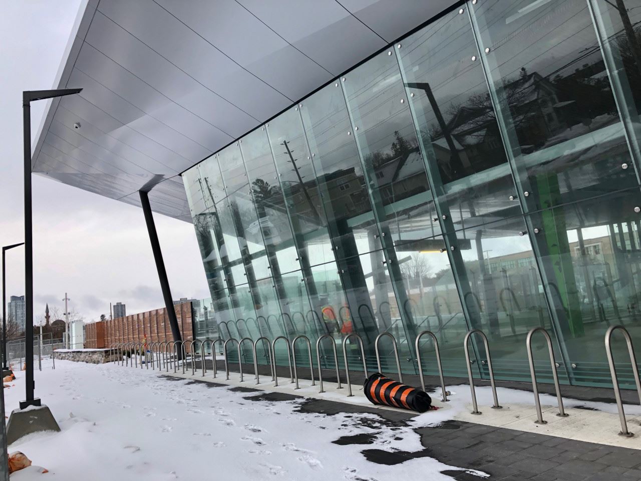
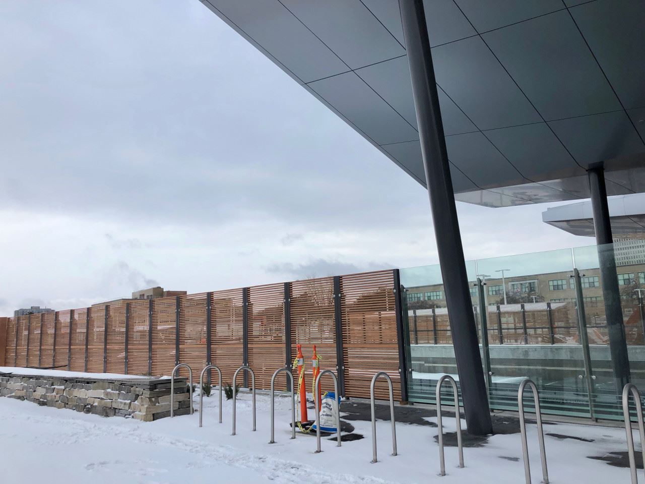
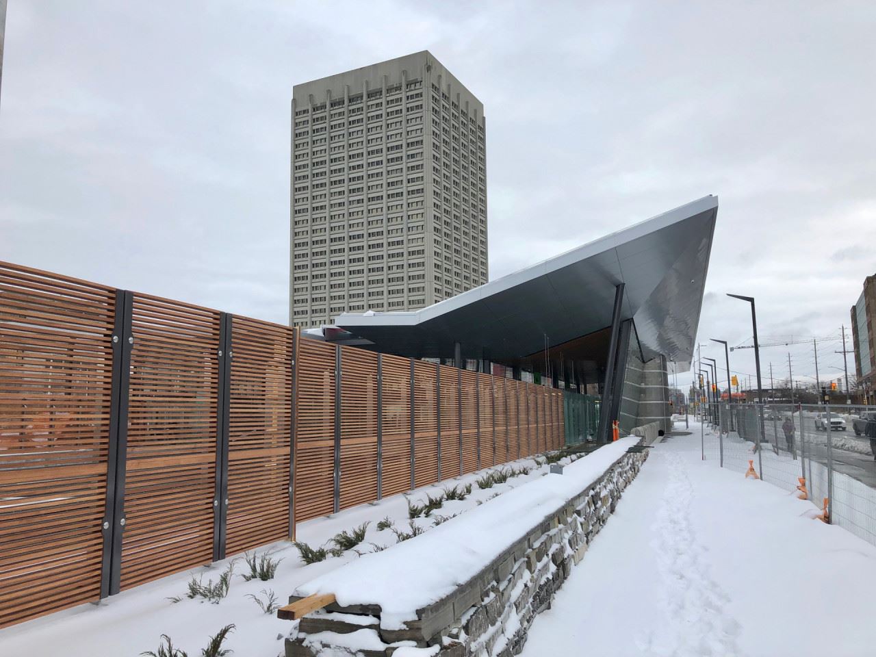
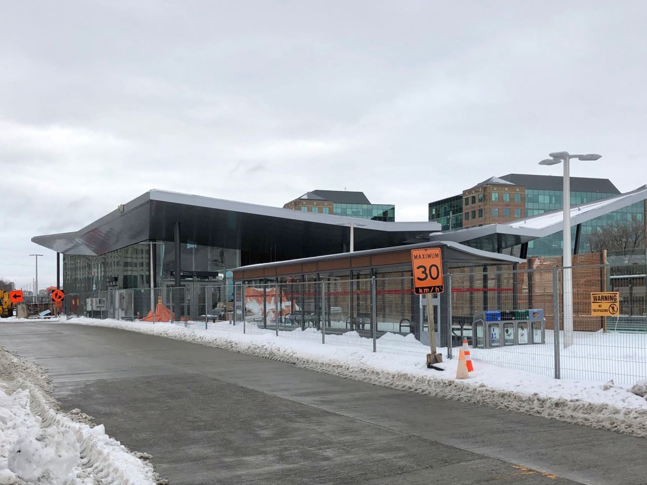
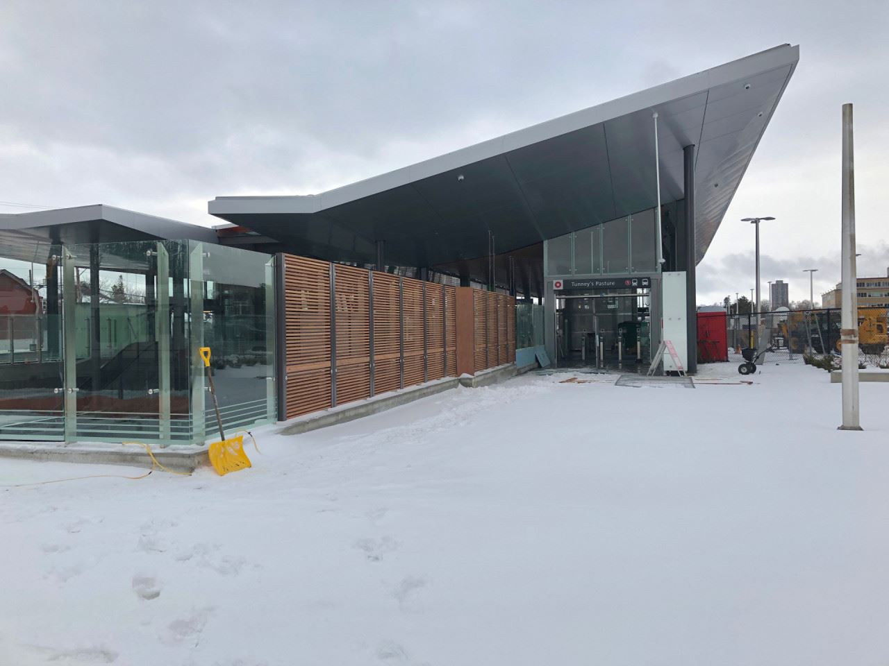
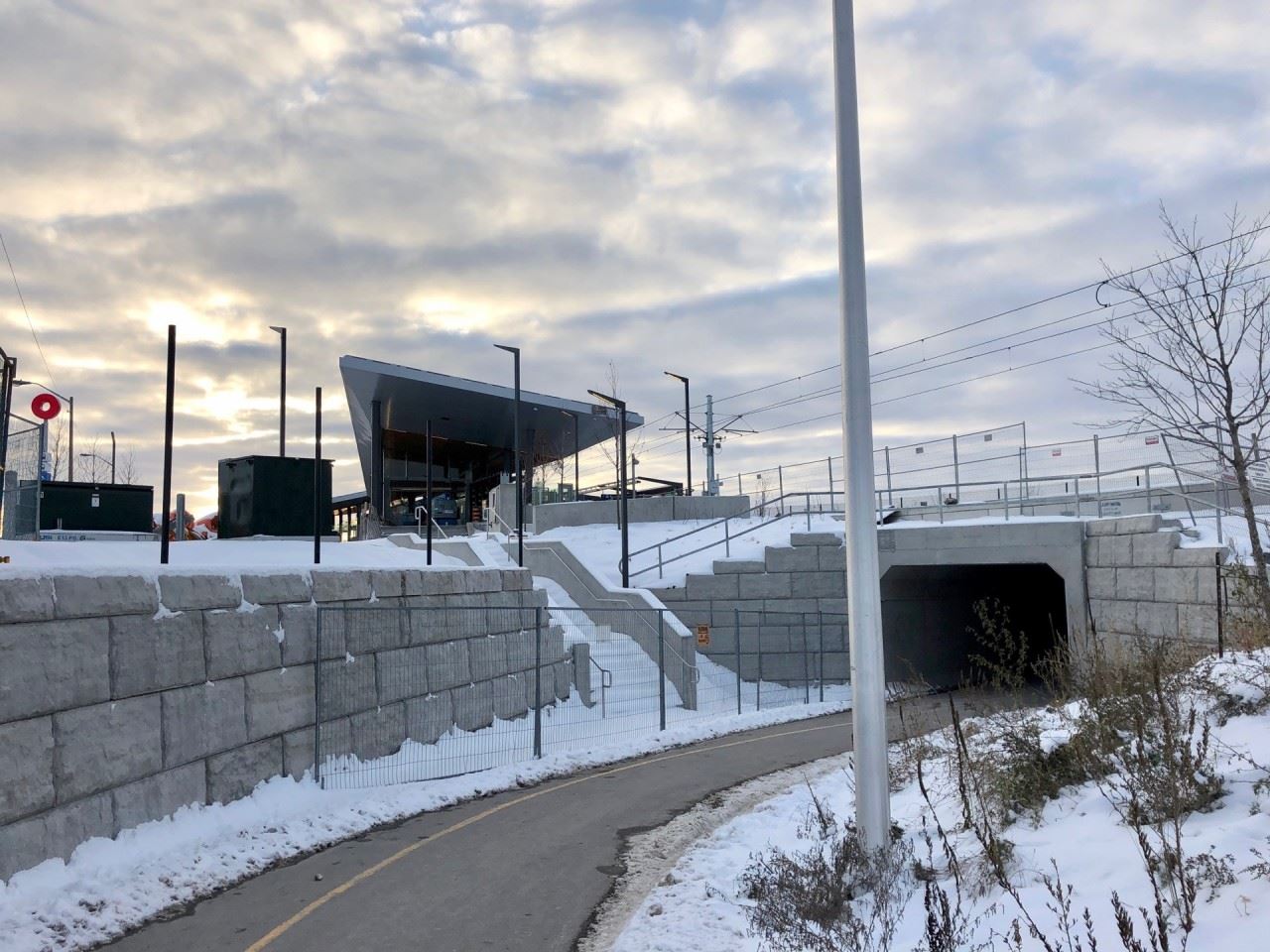
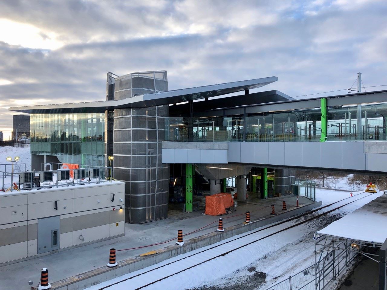
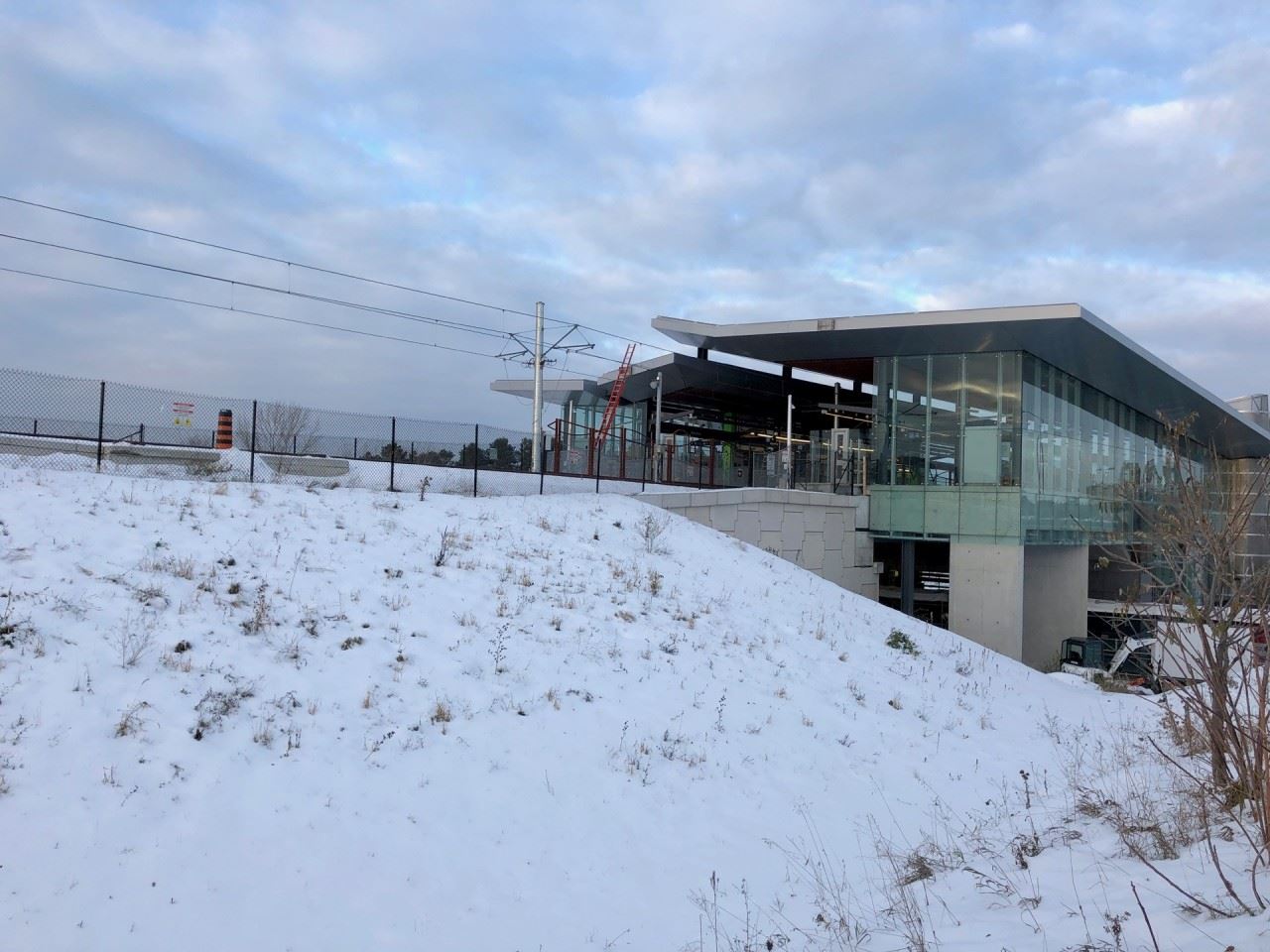
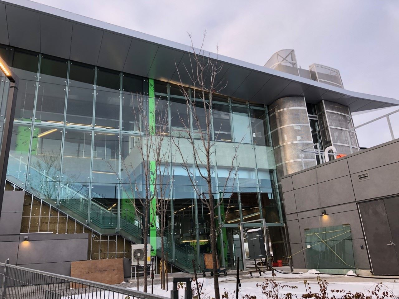
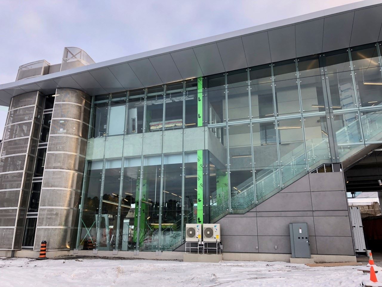
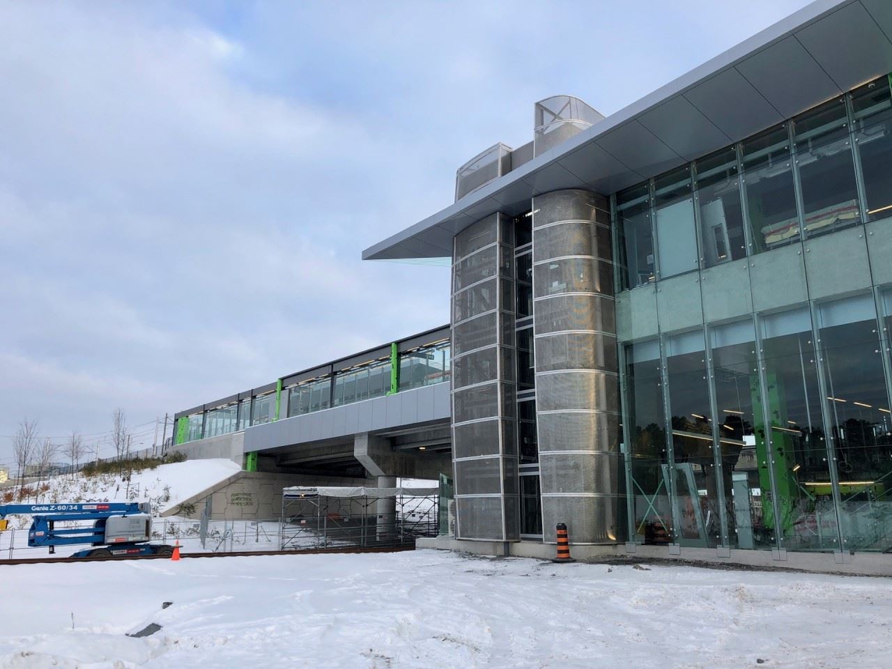
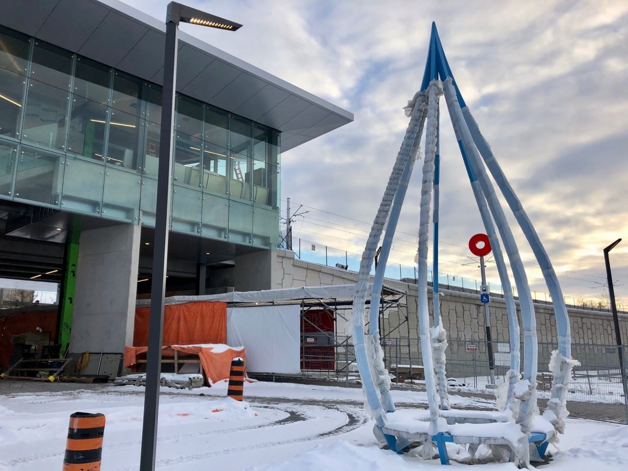
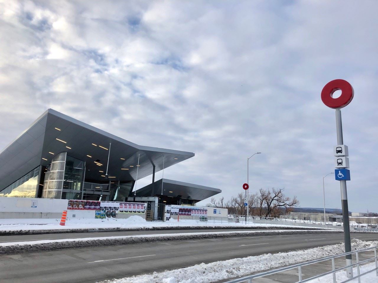
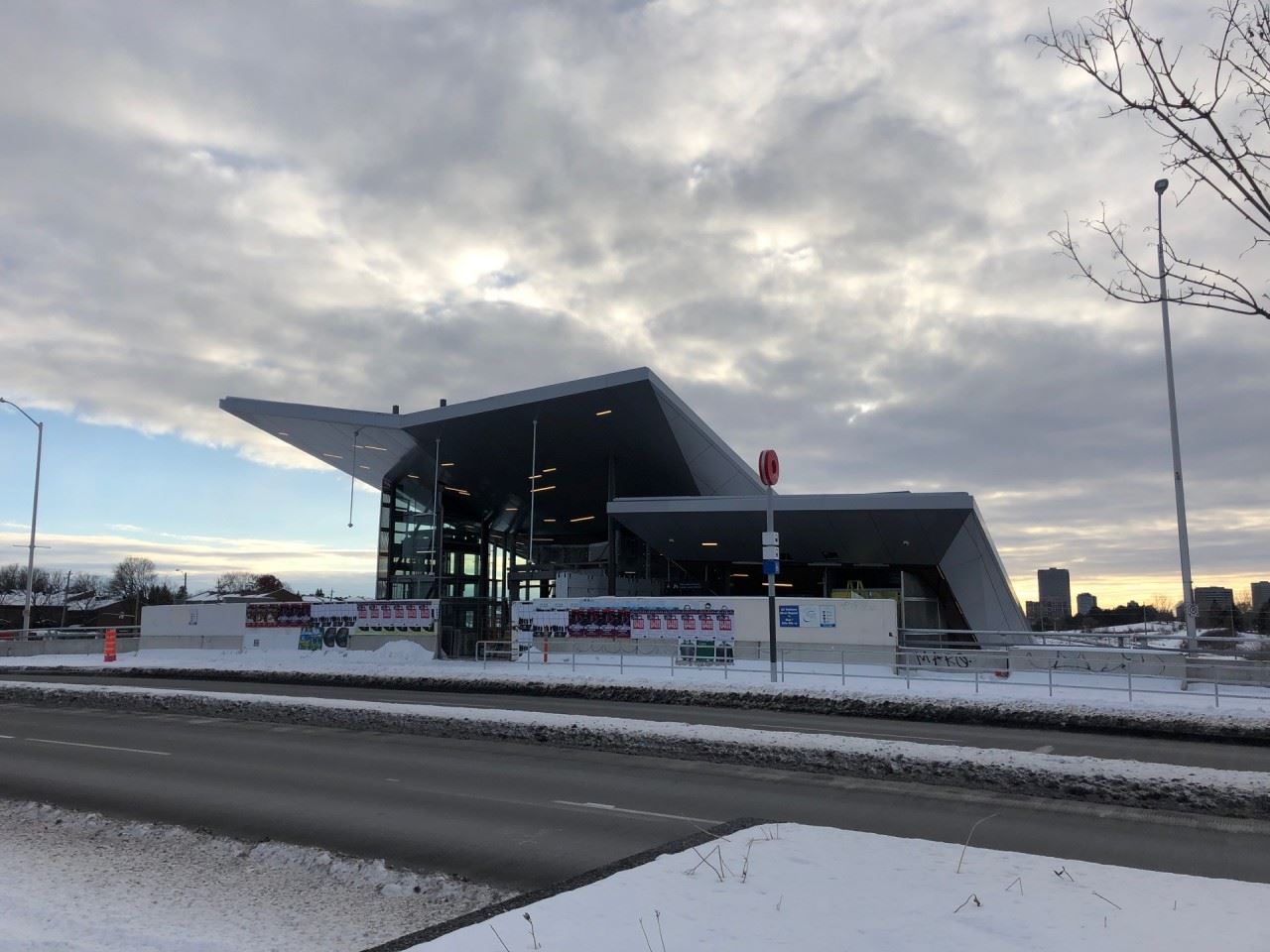
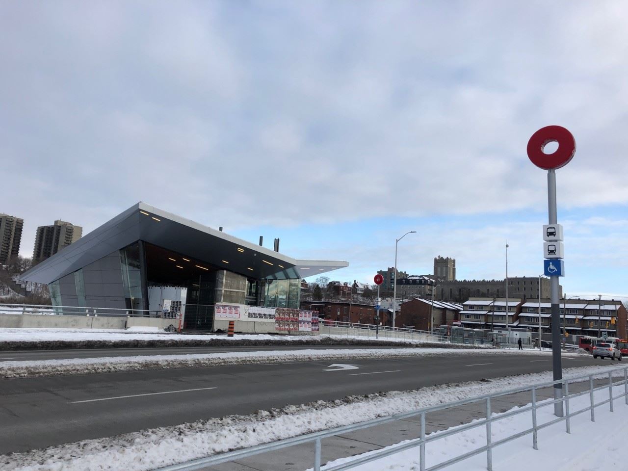
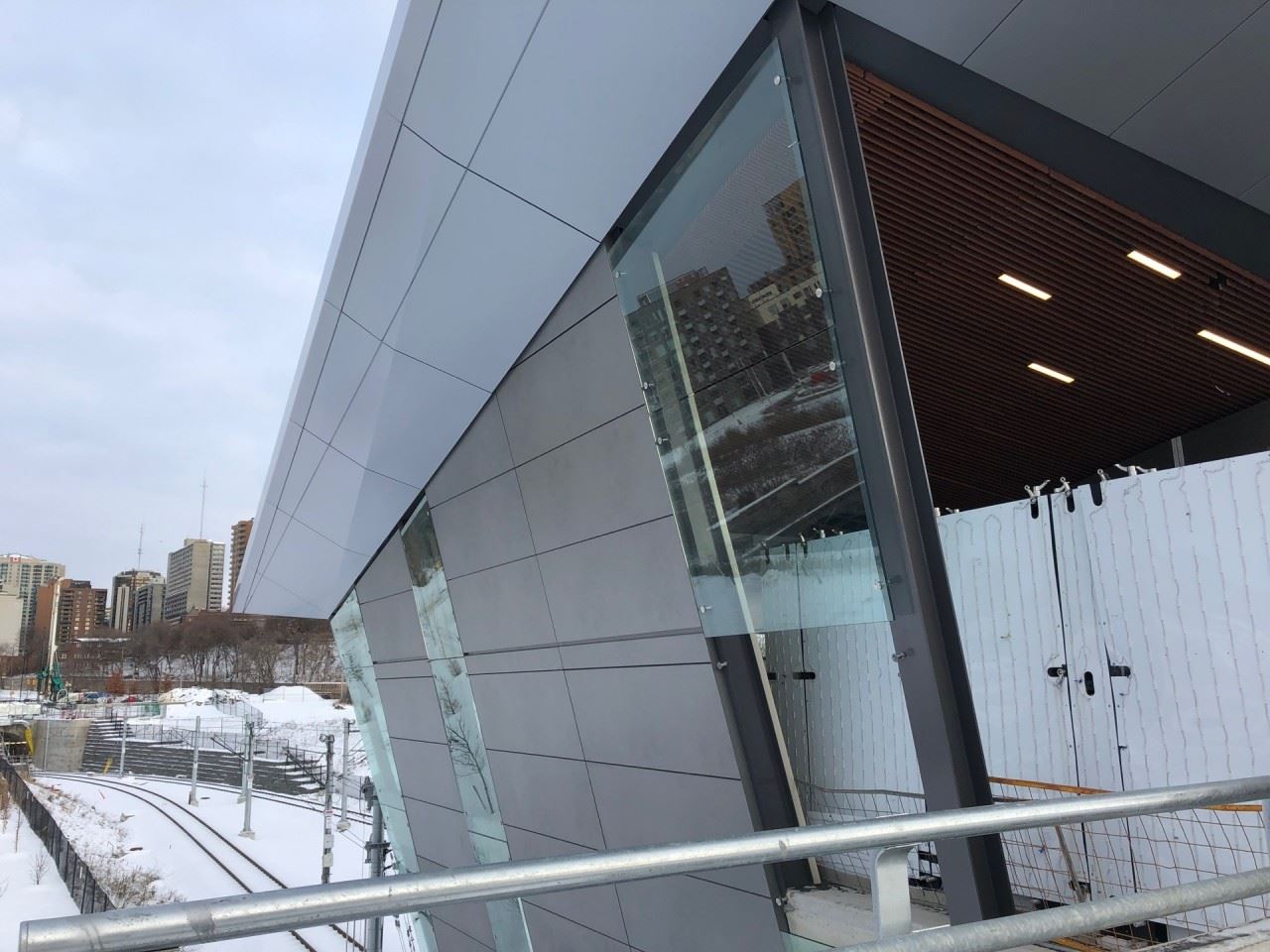
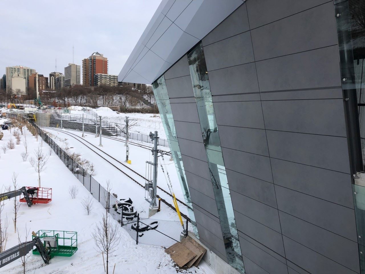
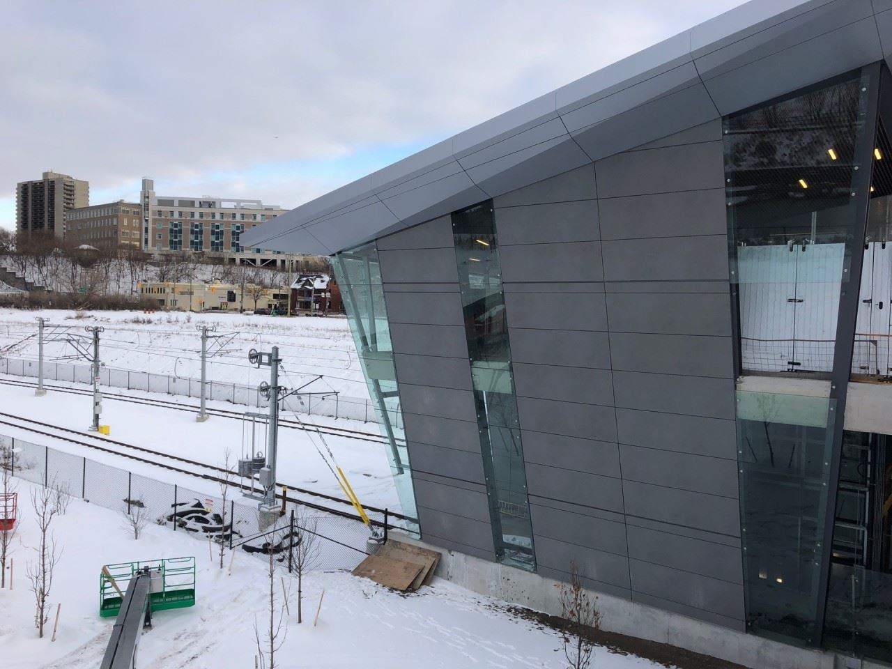
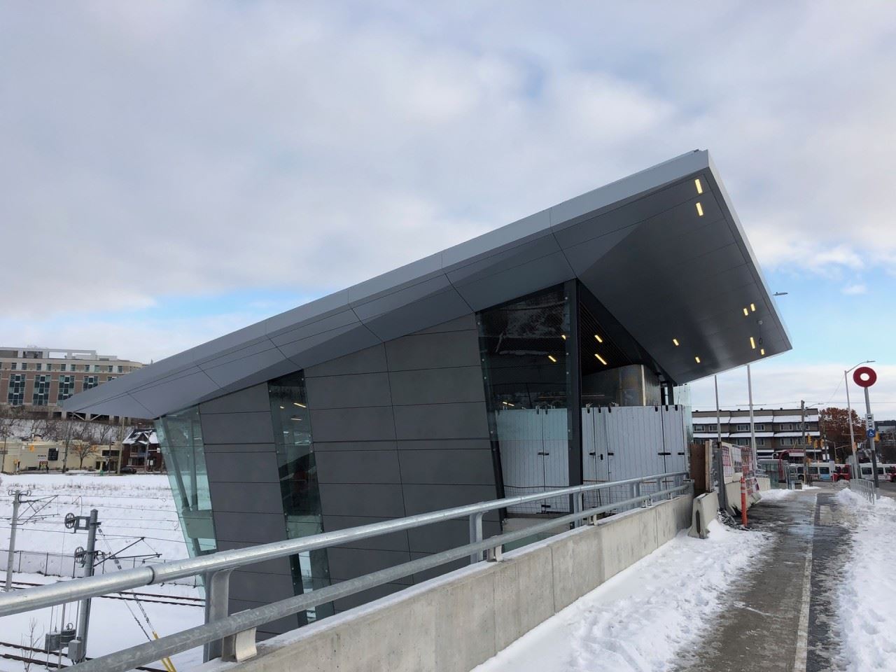
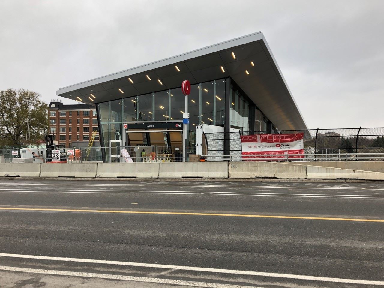
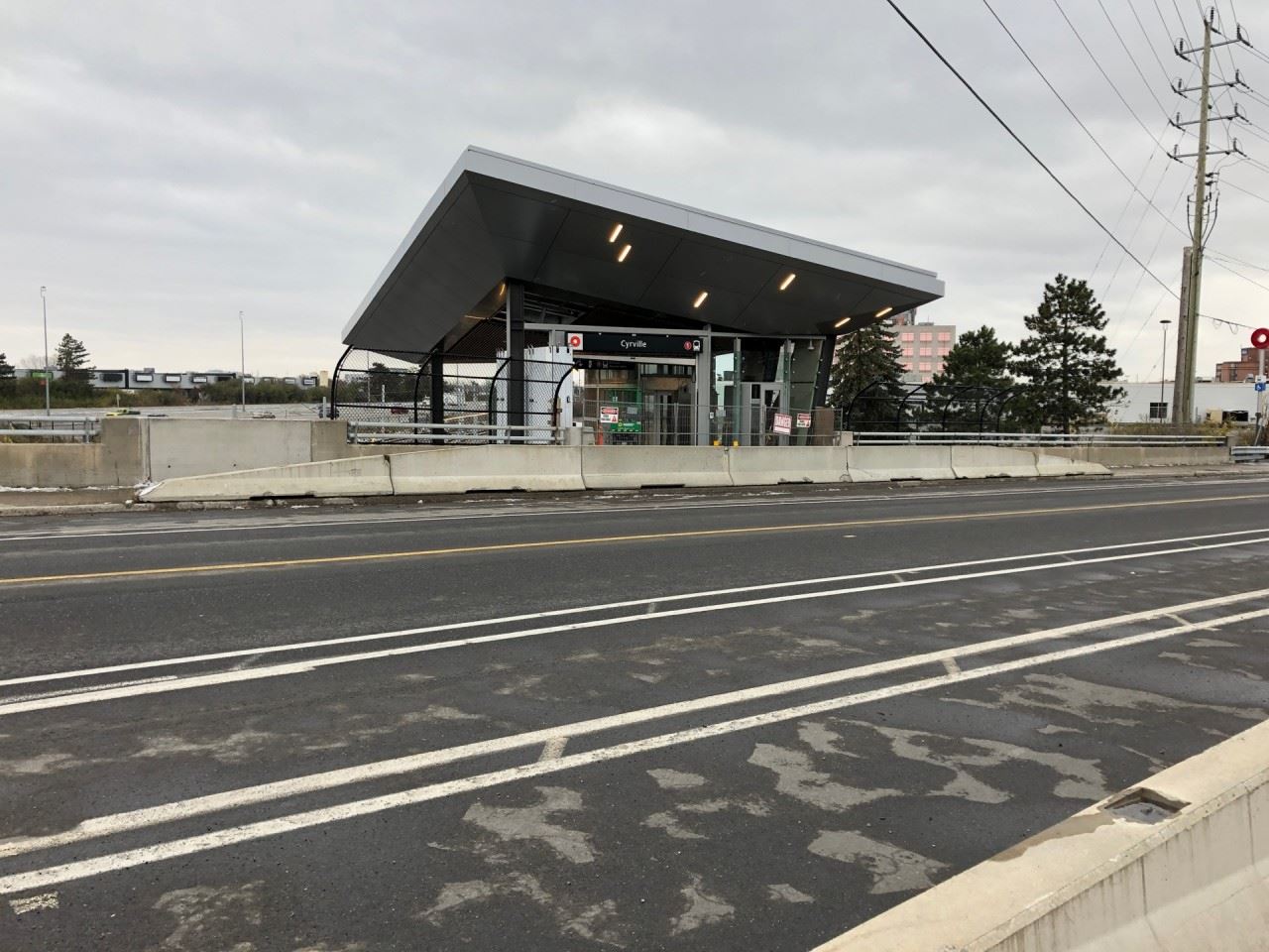
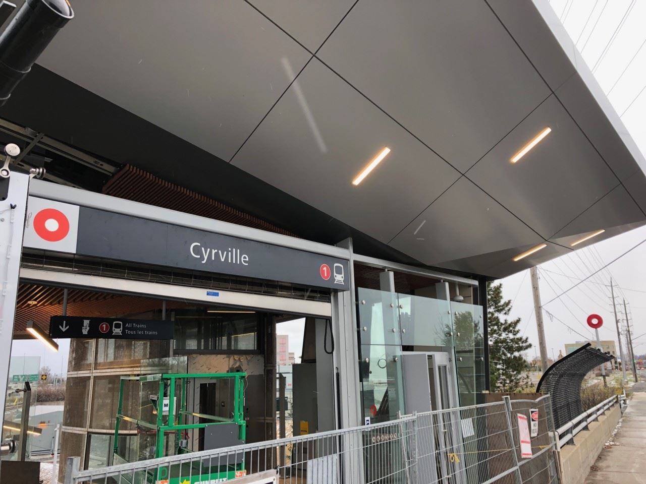
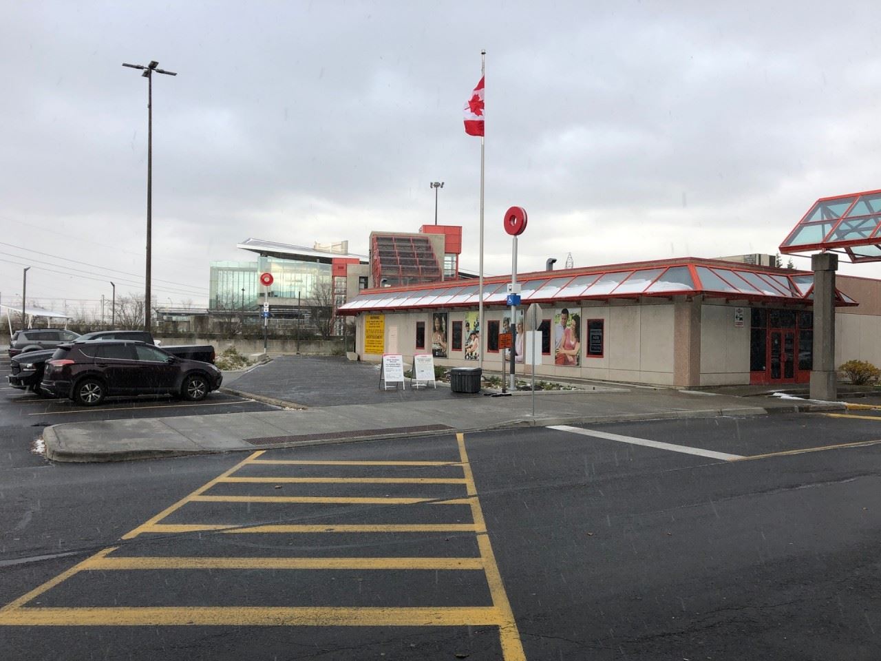
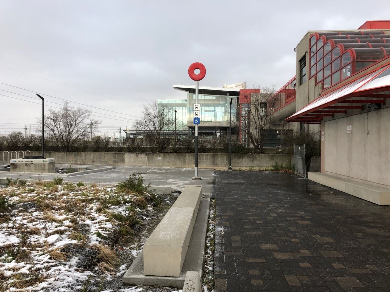
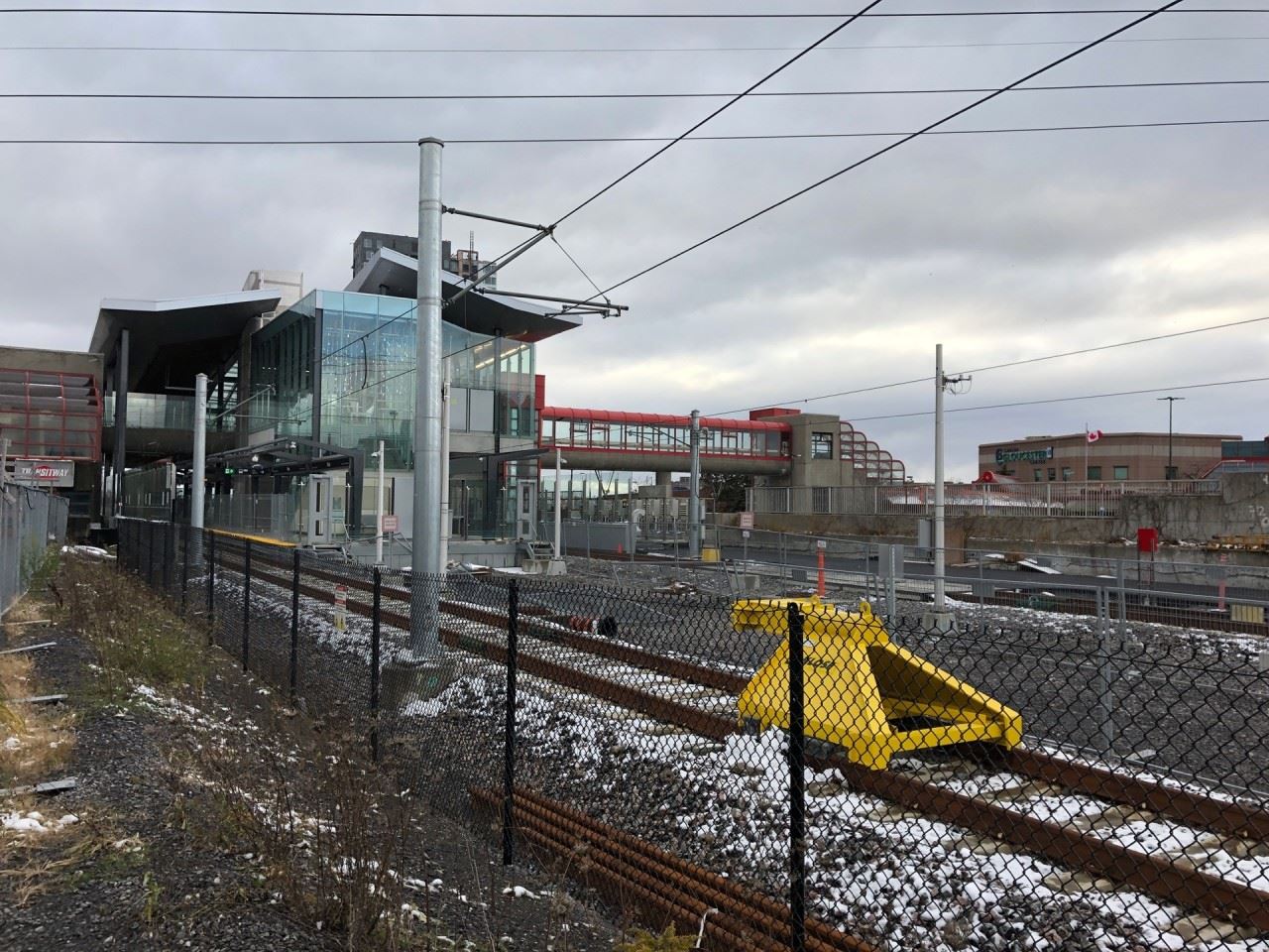
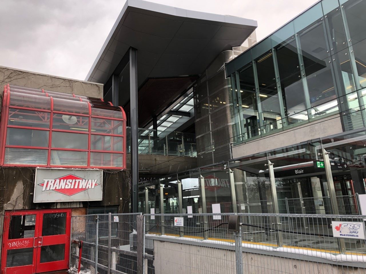
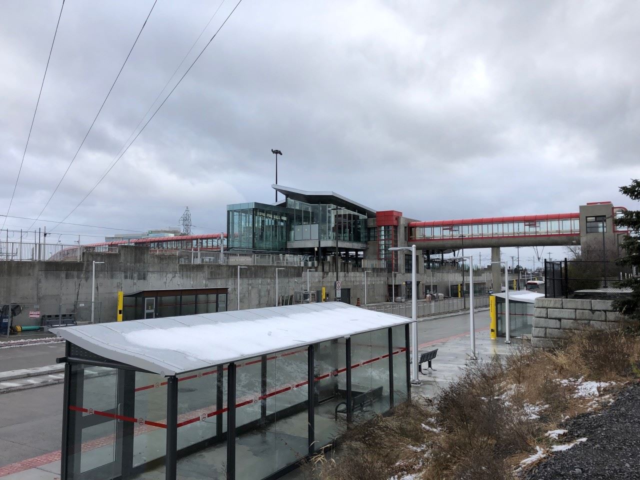
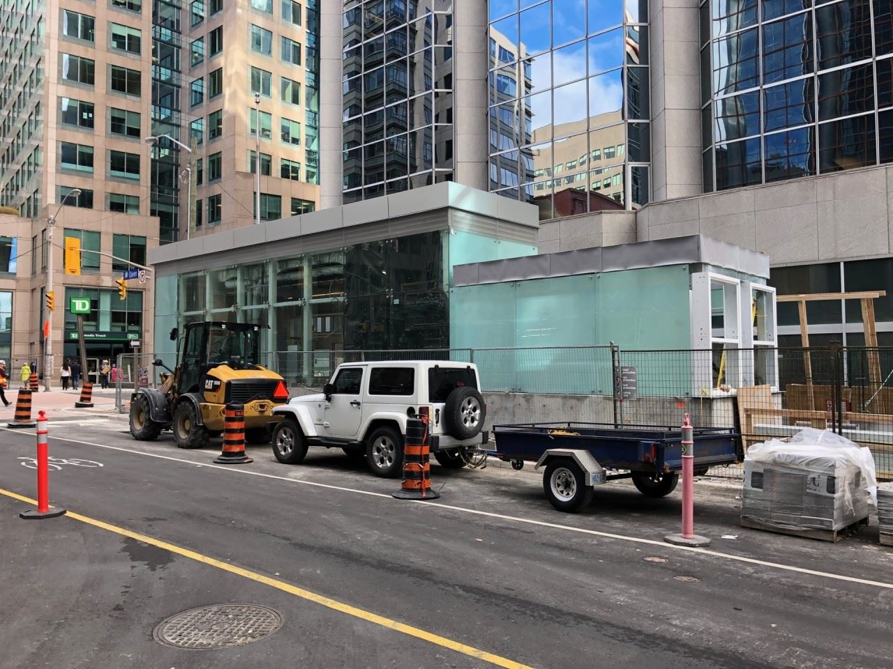
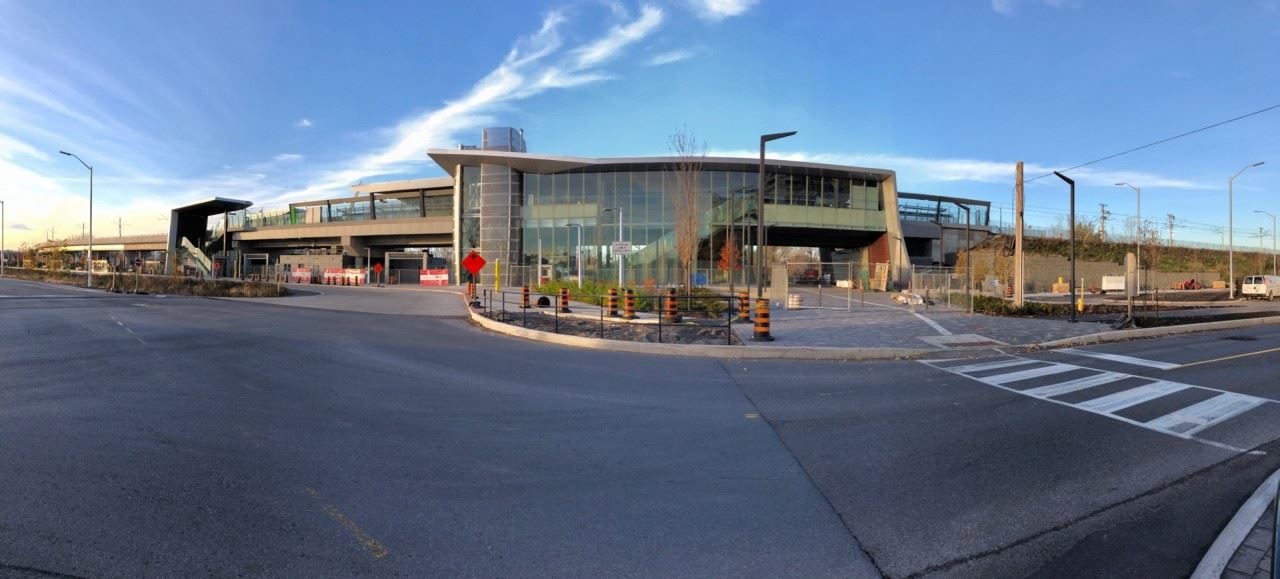
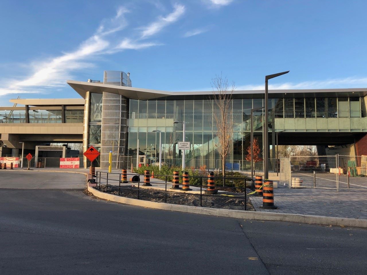
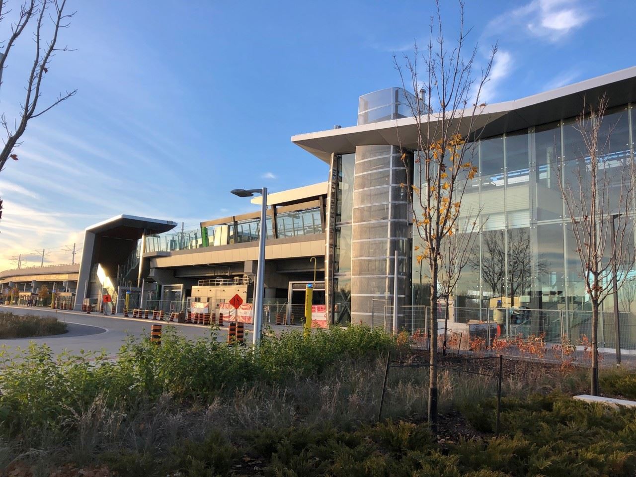
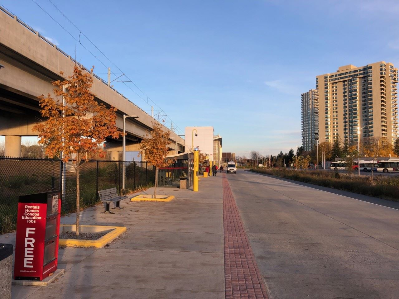
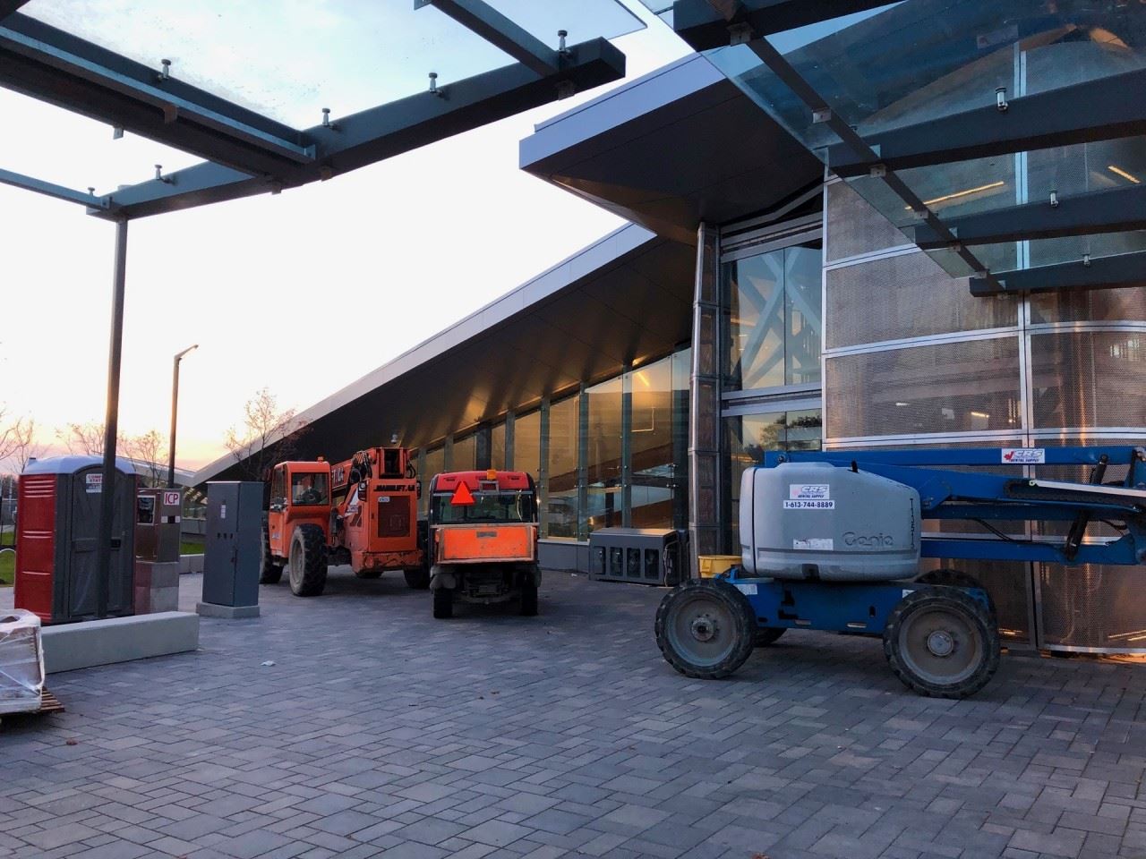
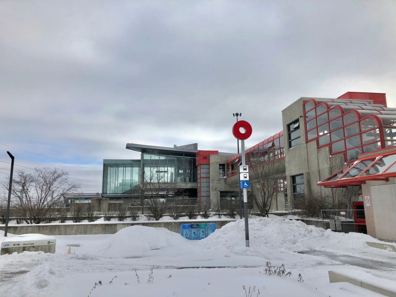
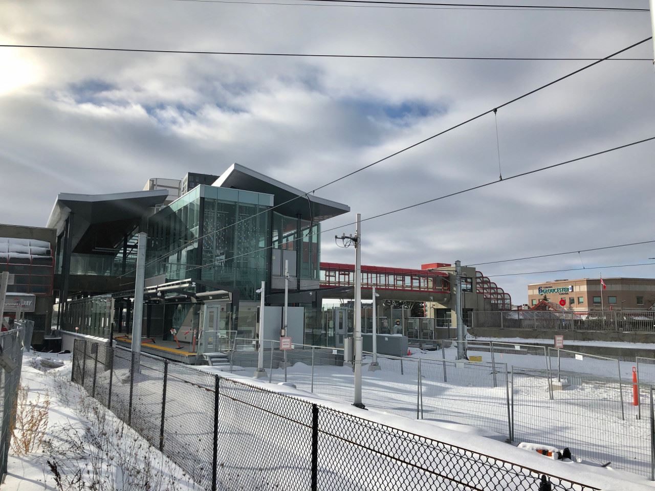
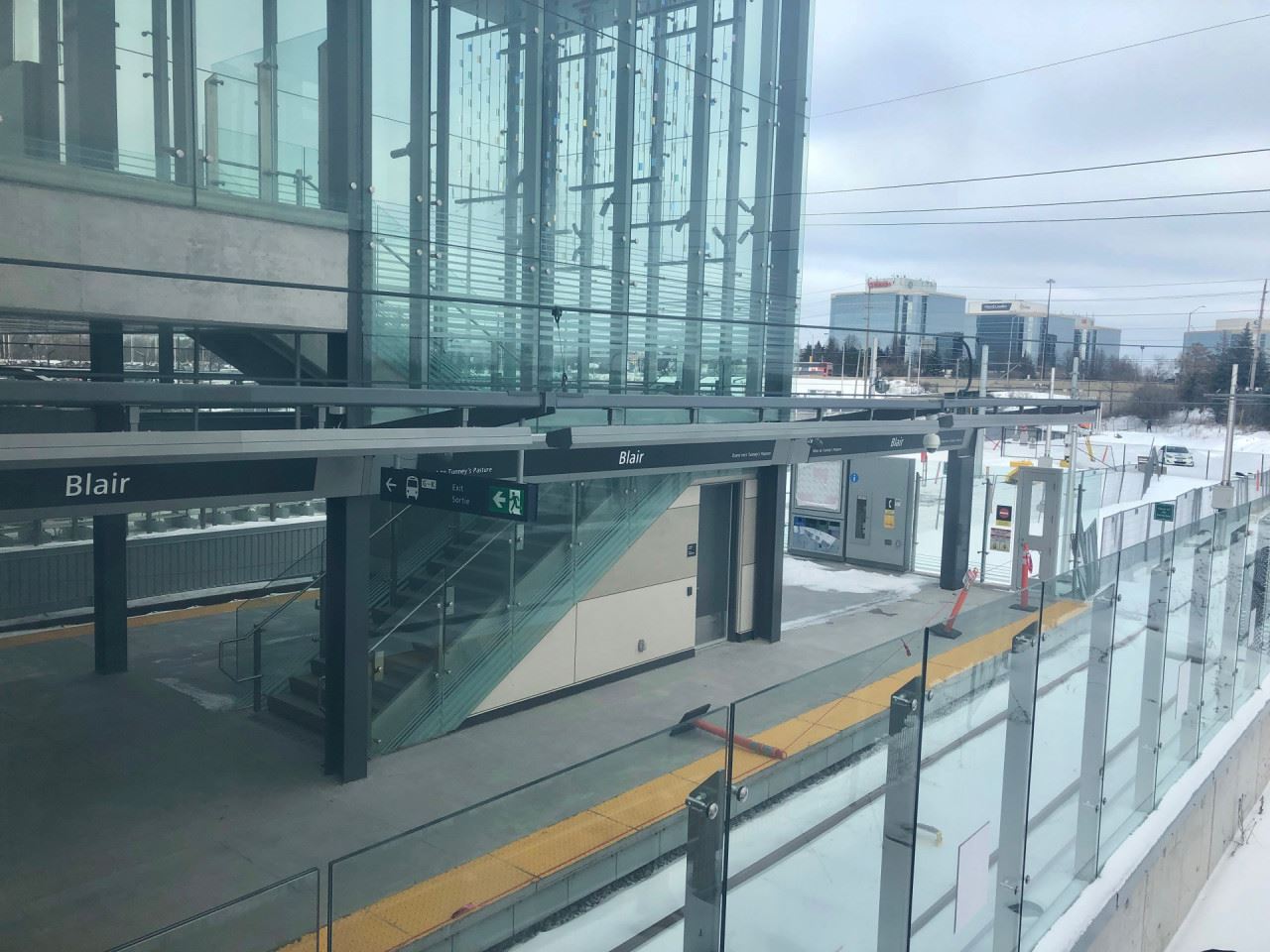
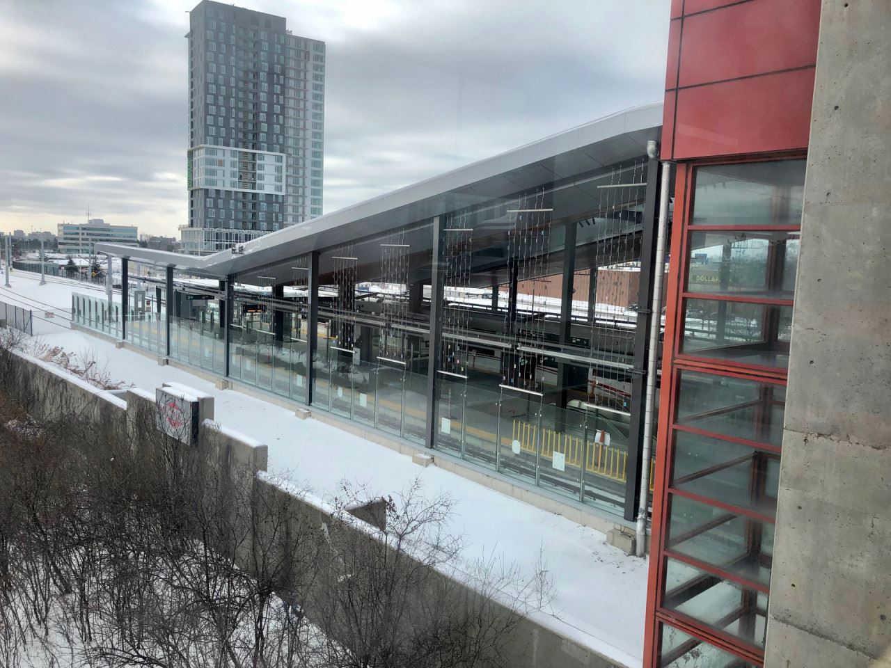
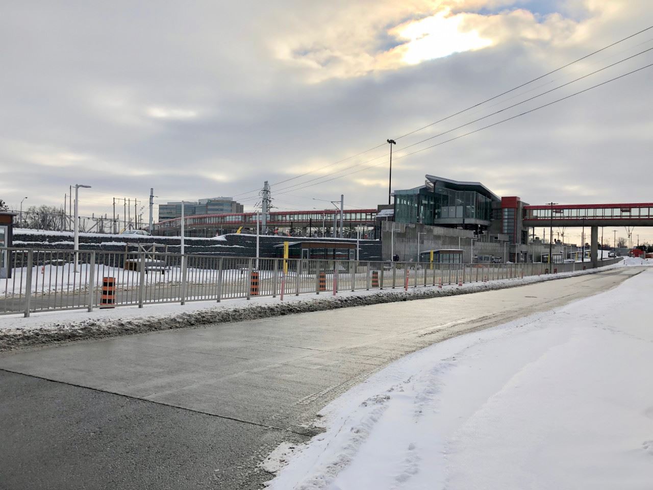
Blair Station, as seen from the Gloucester Centre.
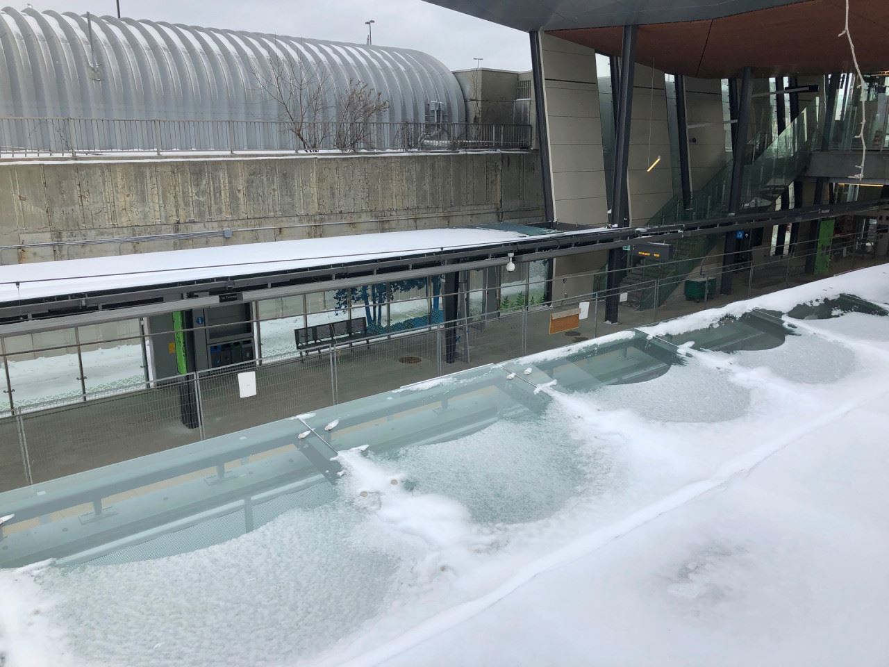
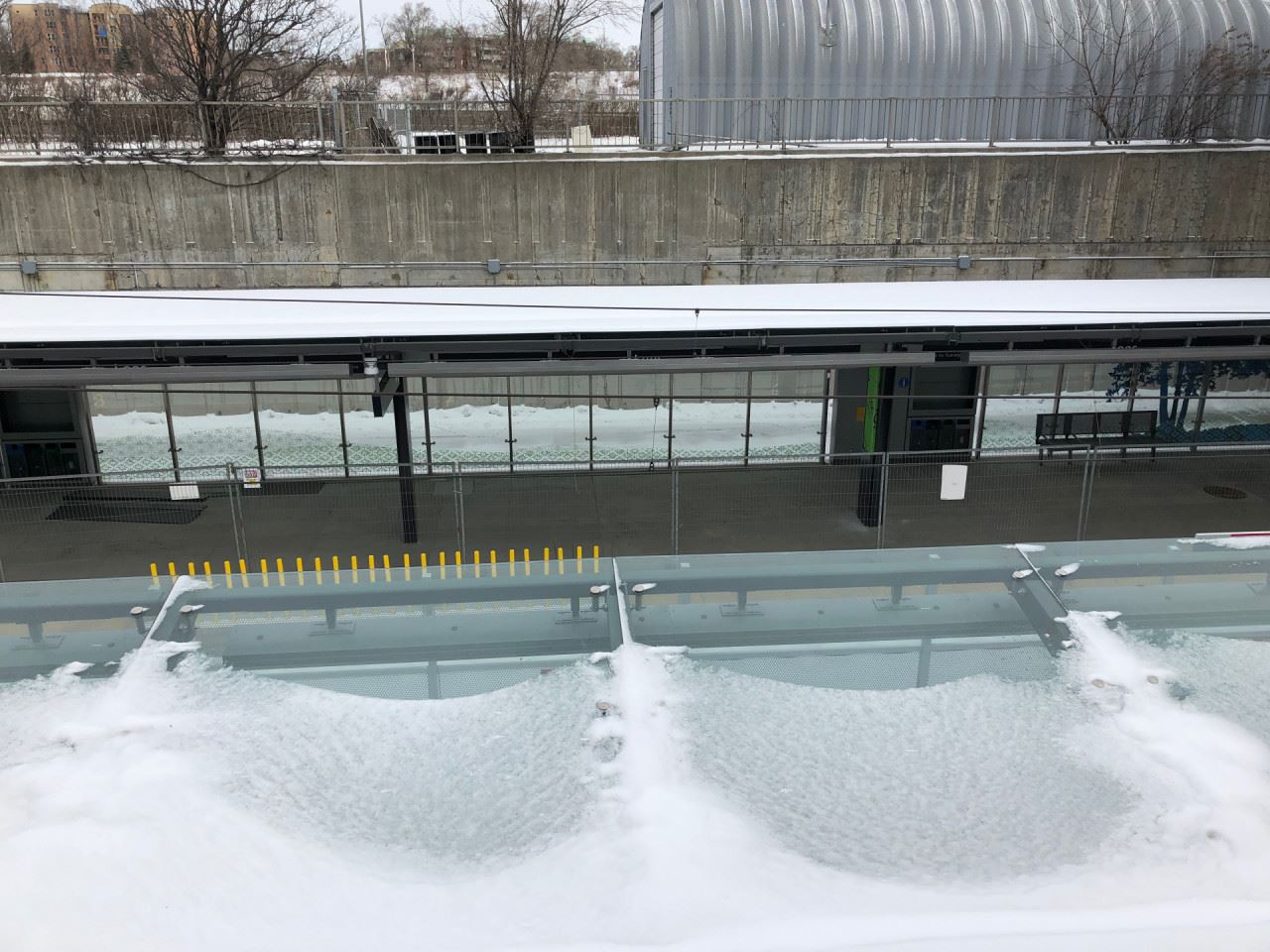
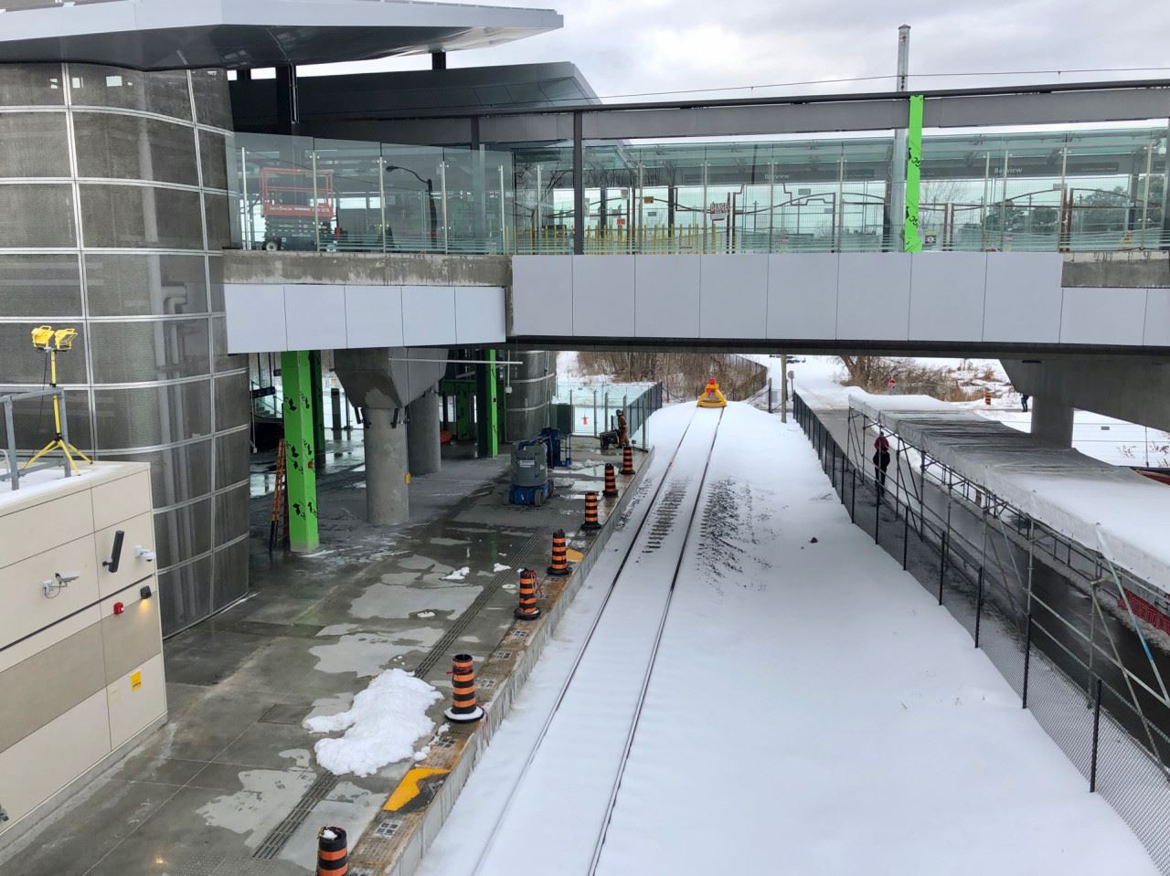
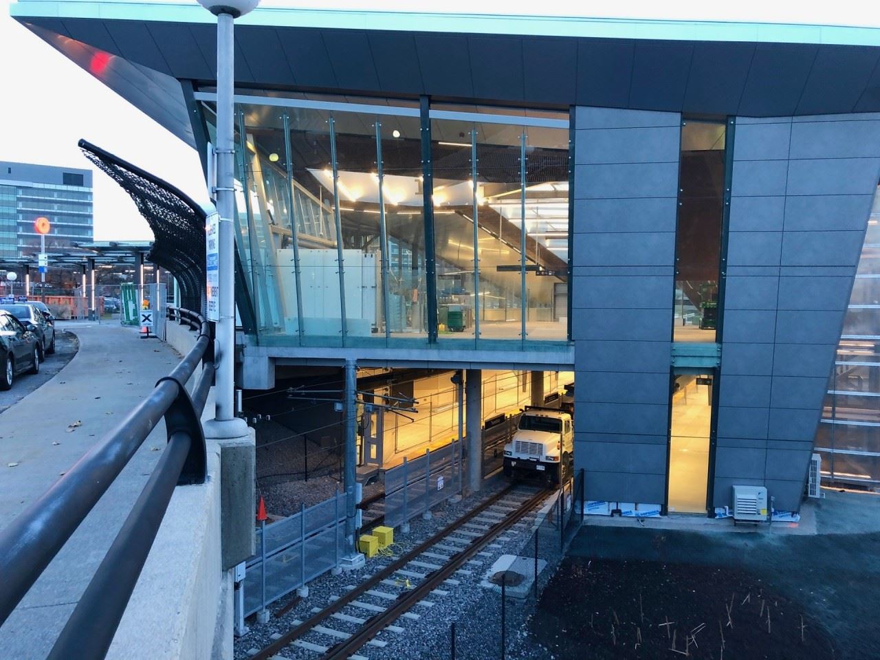
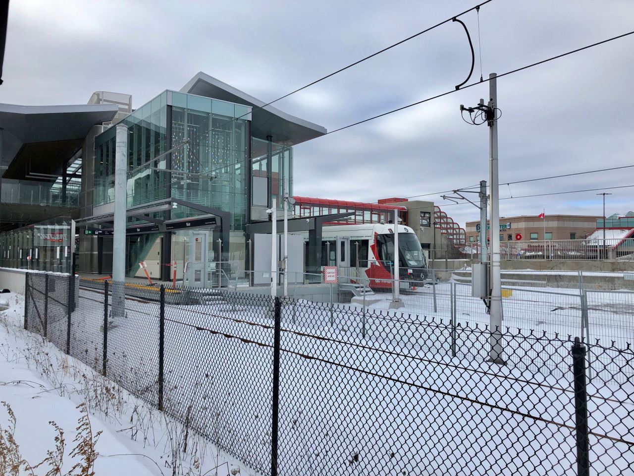
An LRV stopped during testing at Blair Station. Below, the bus service platforms.
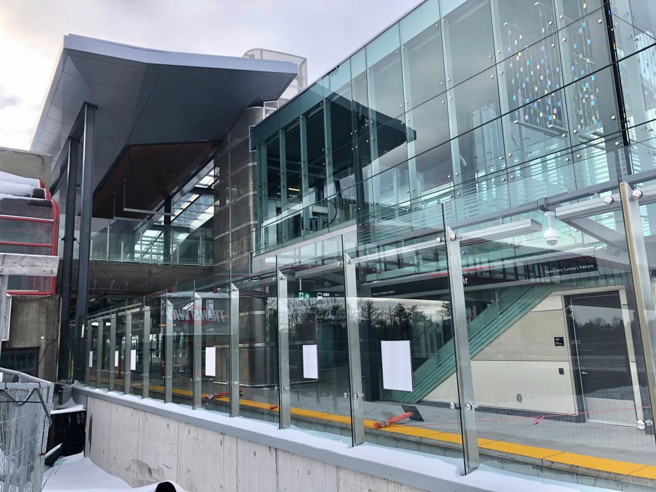
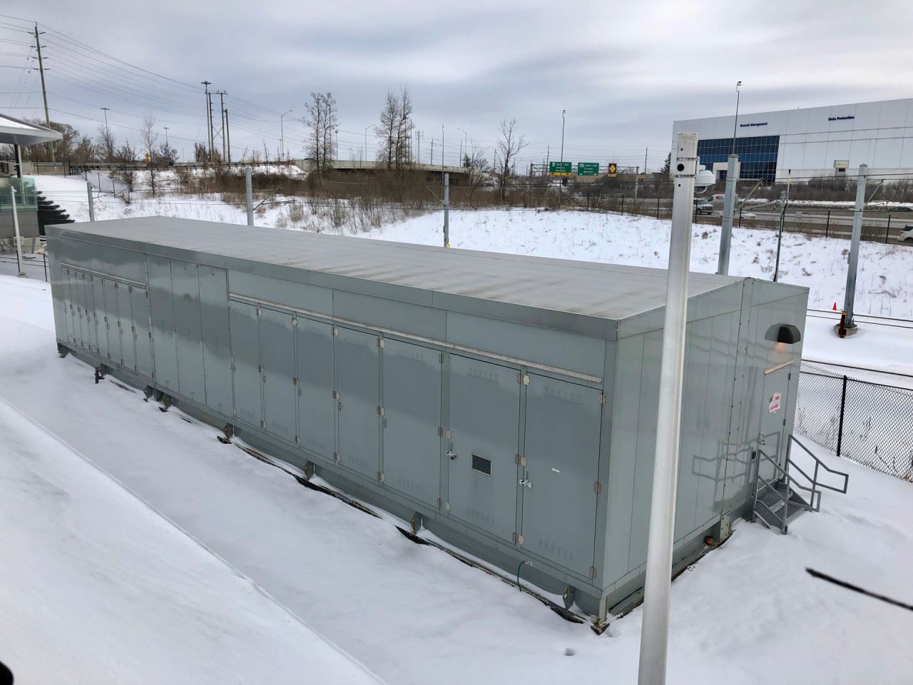
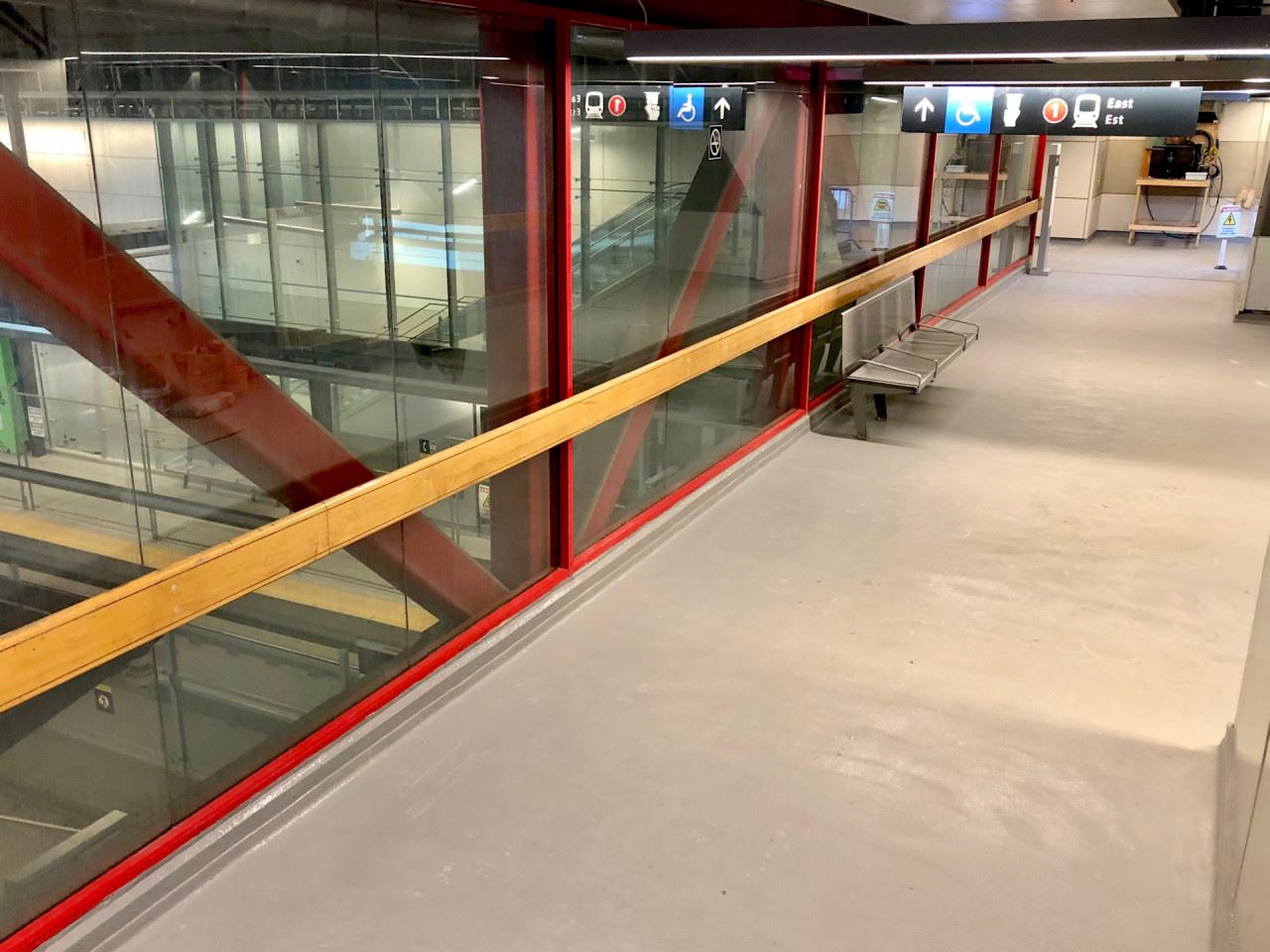
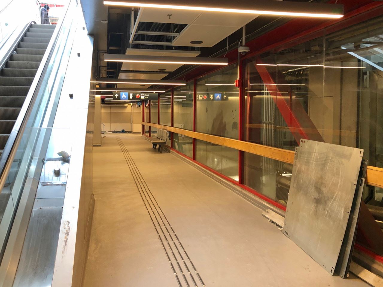
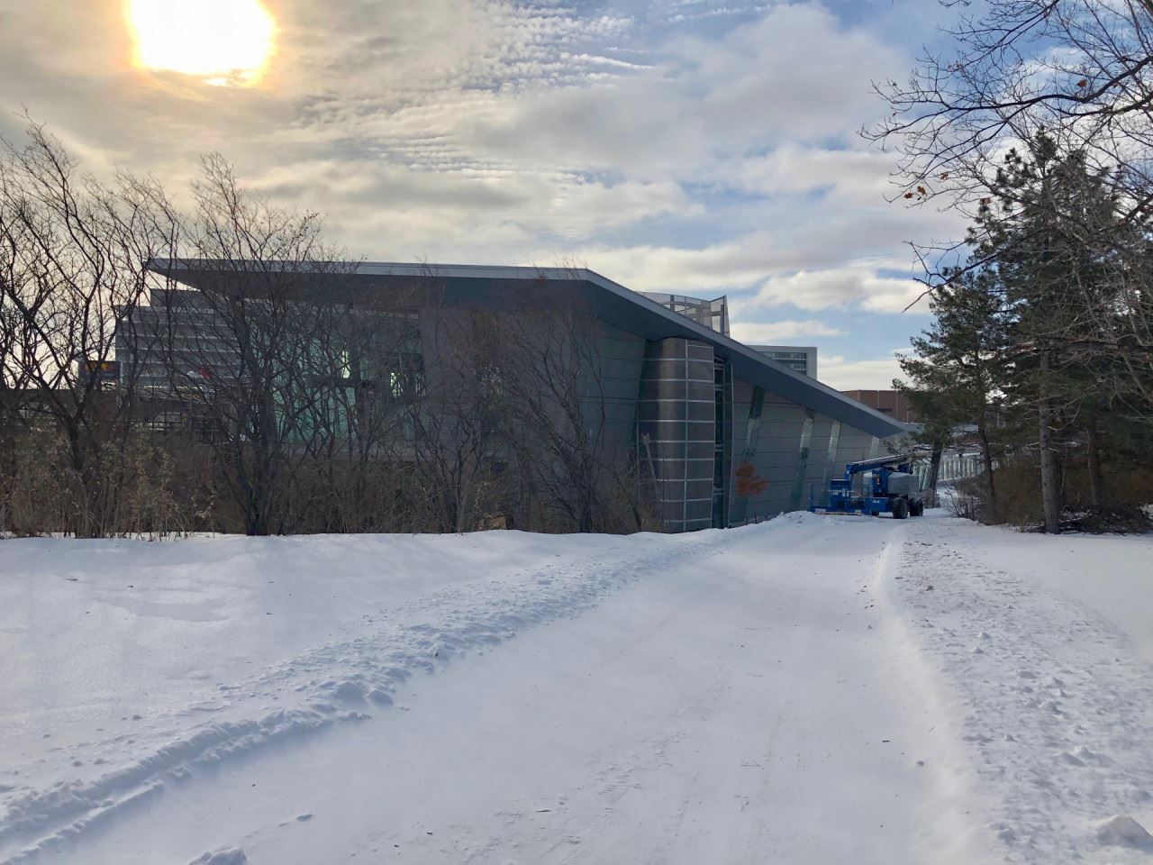
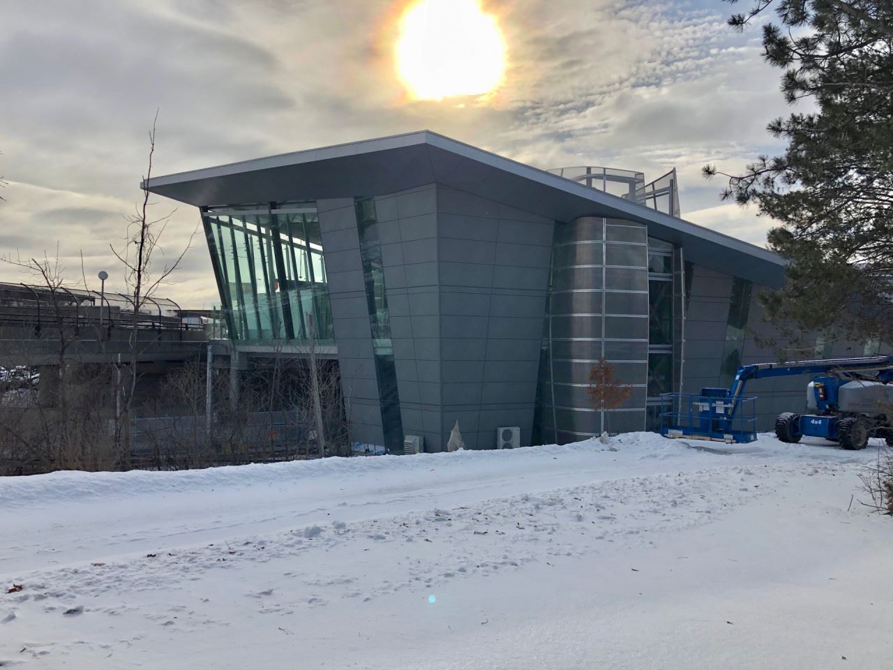
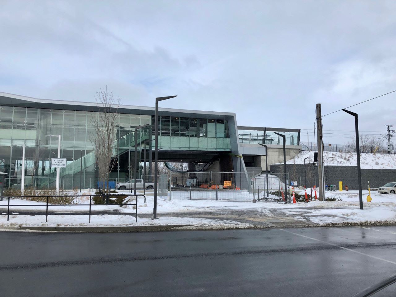
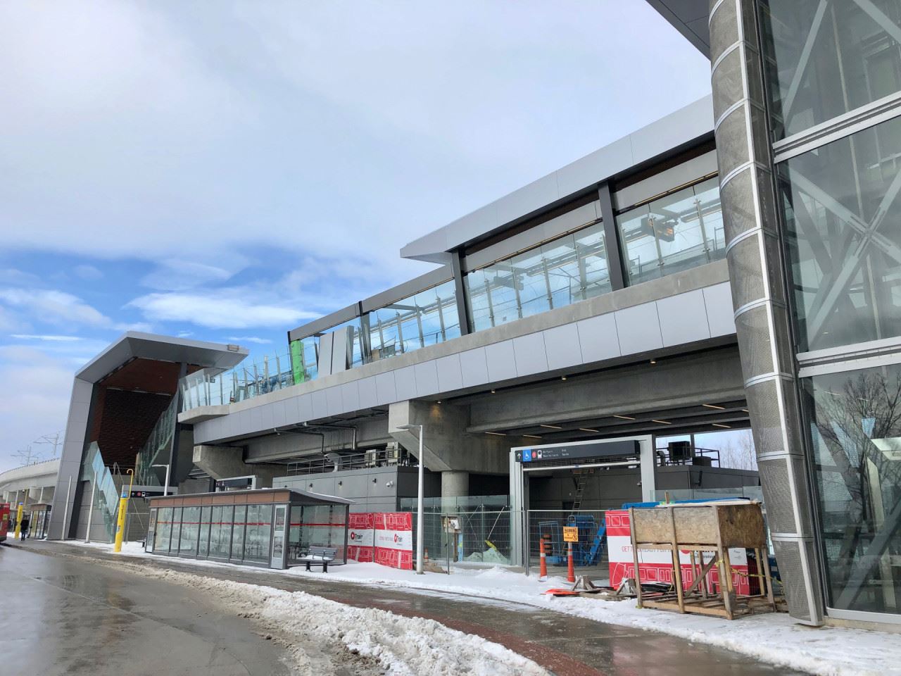
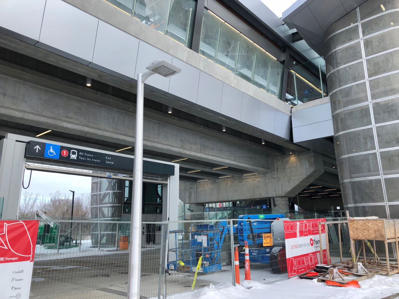
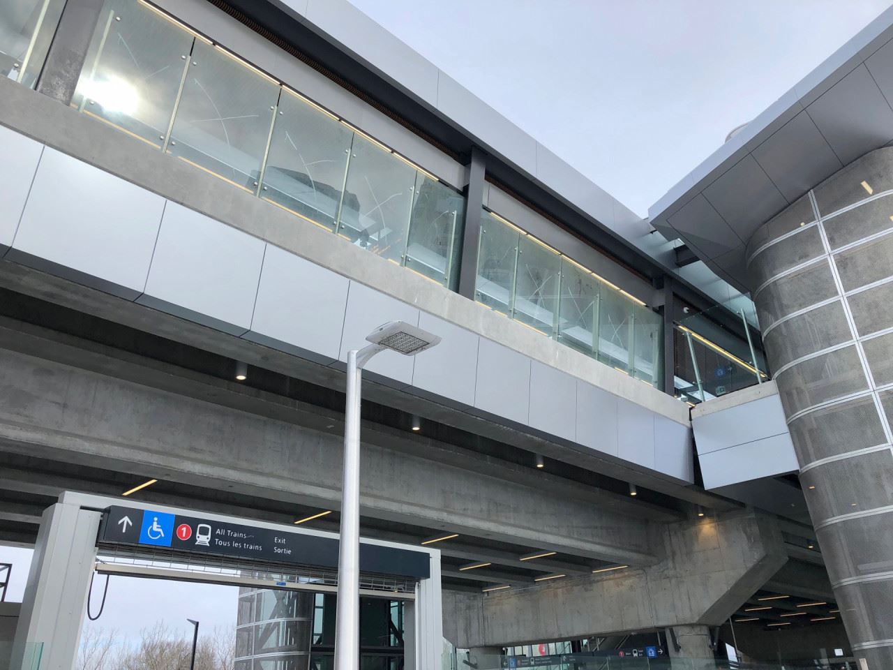
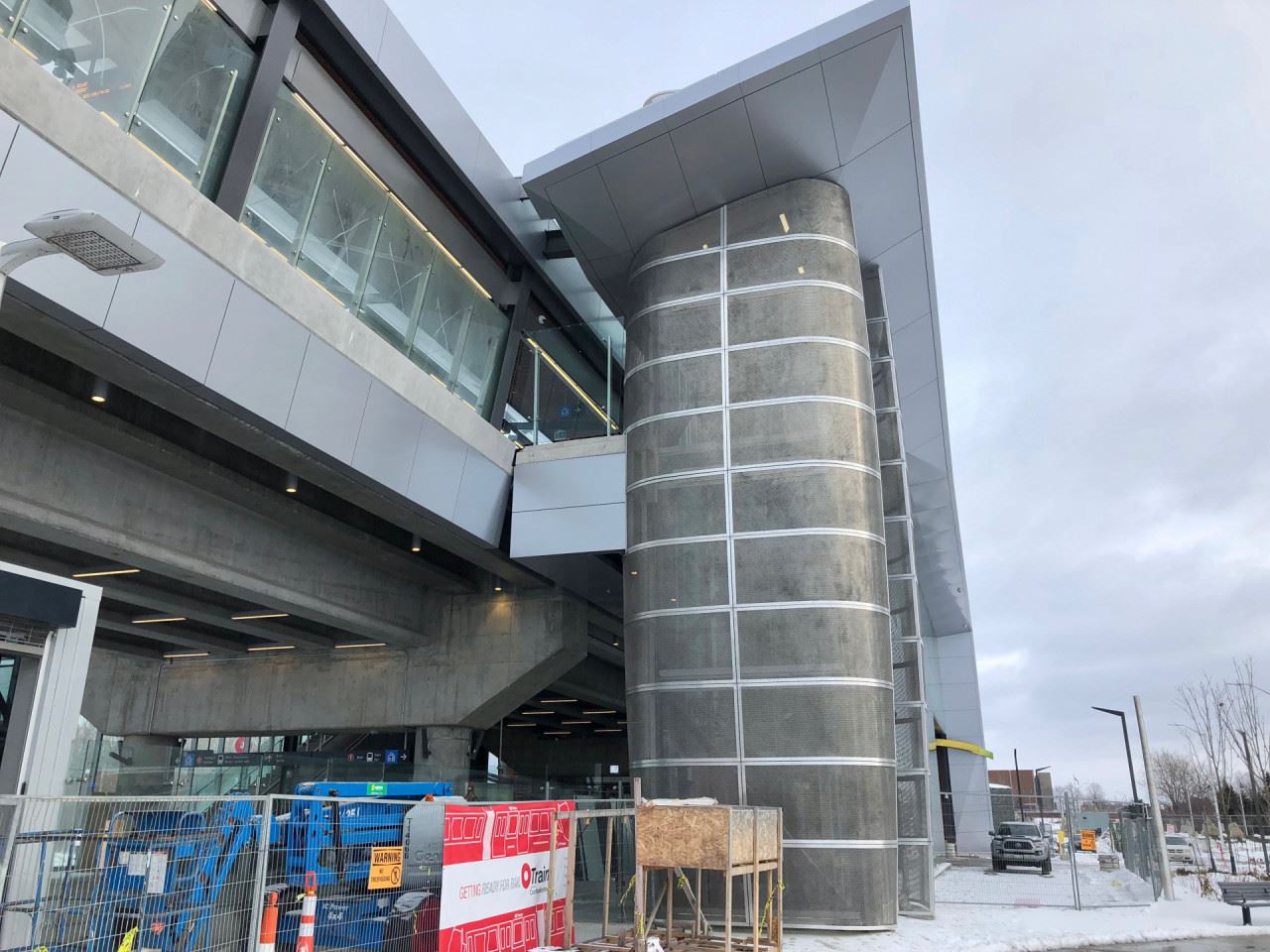
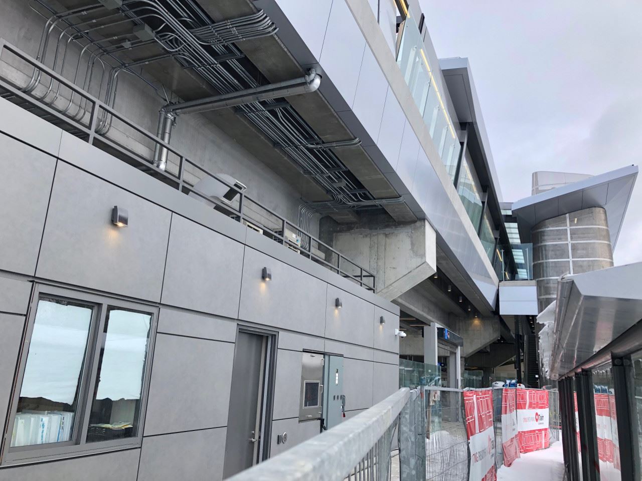
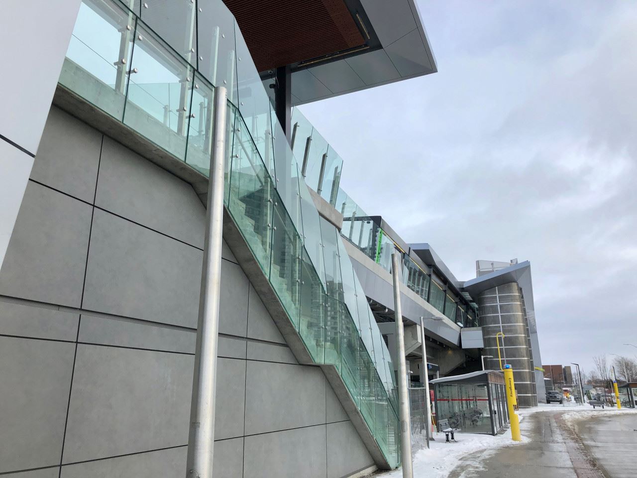
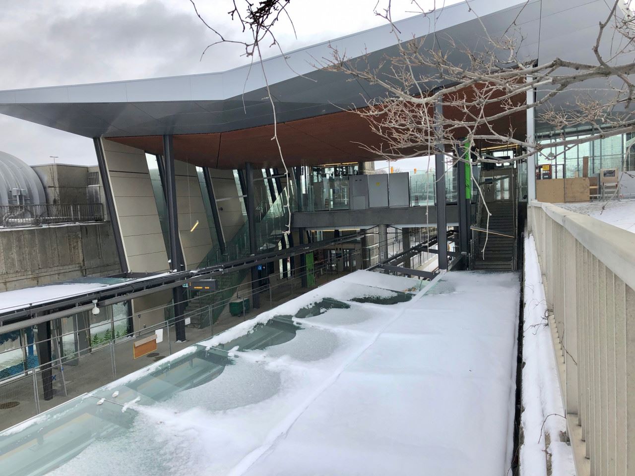
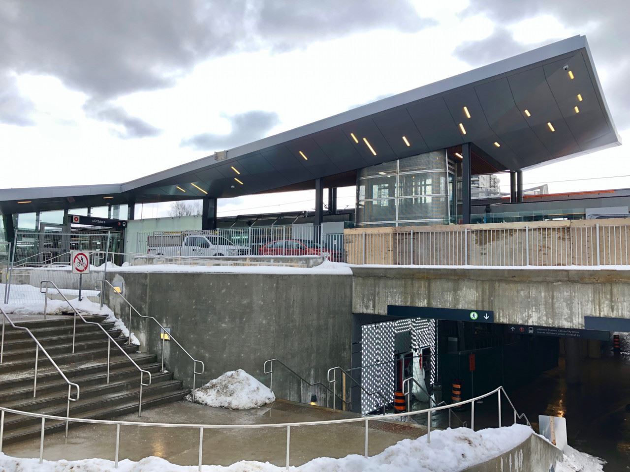
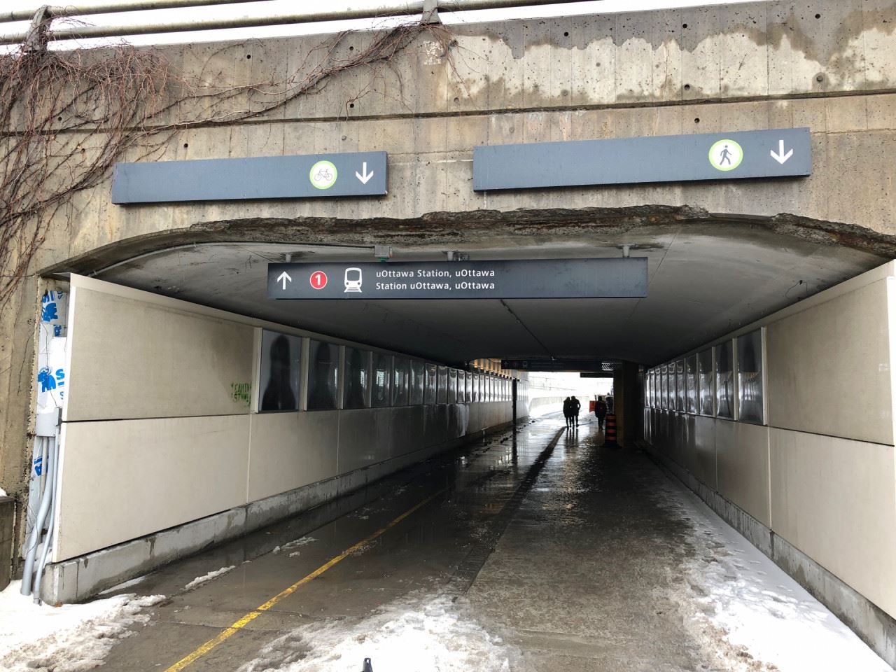
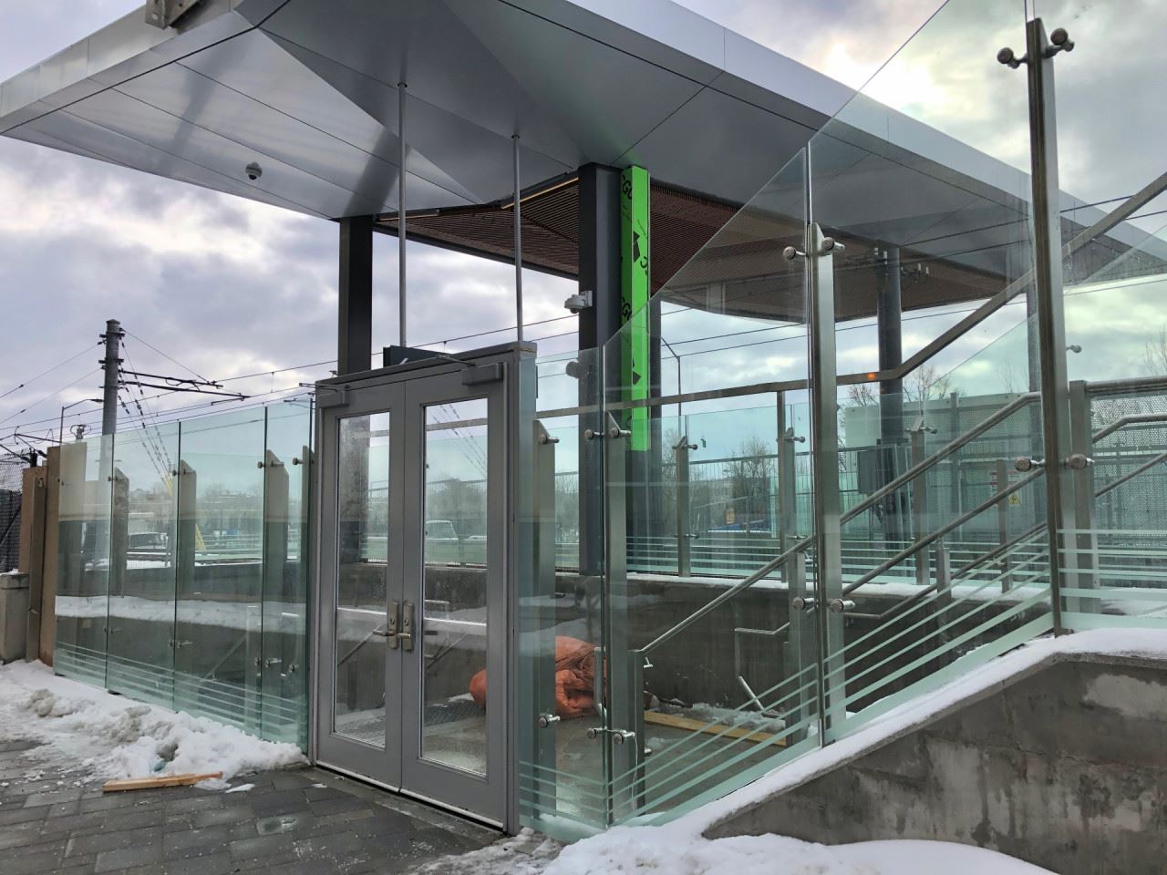
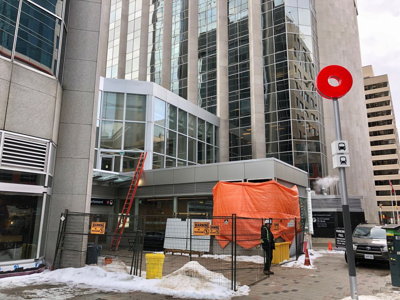
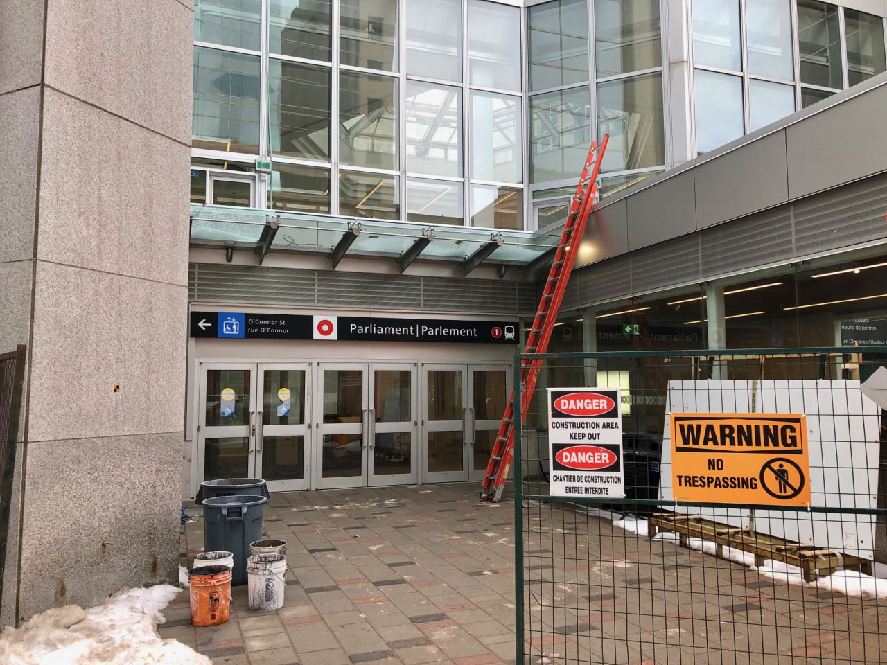
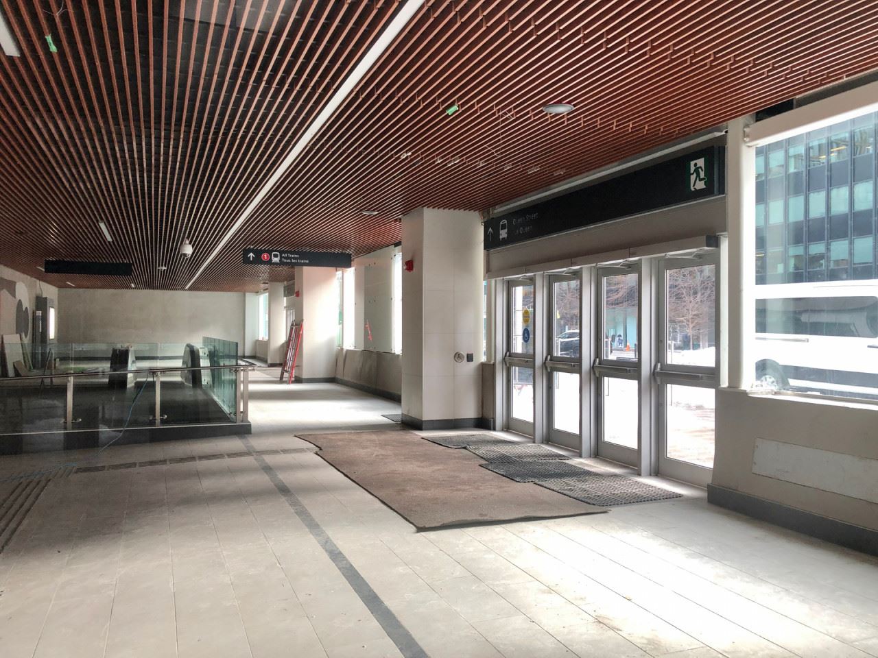
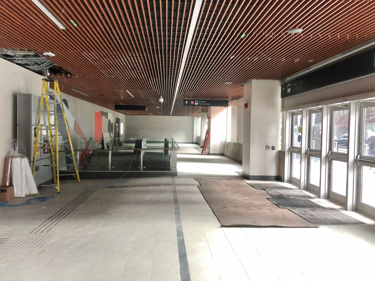
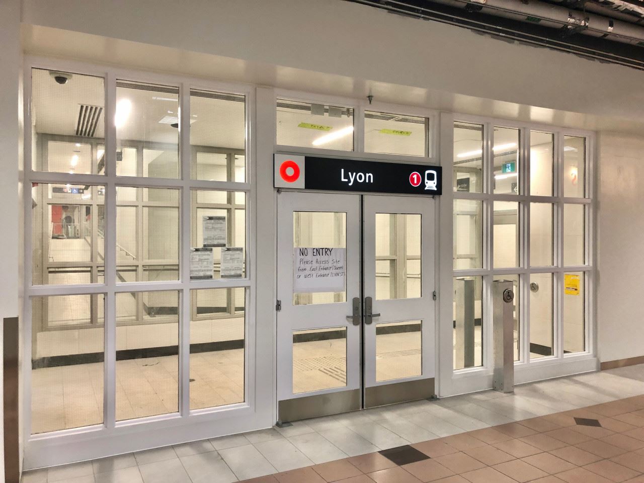
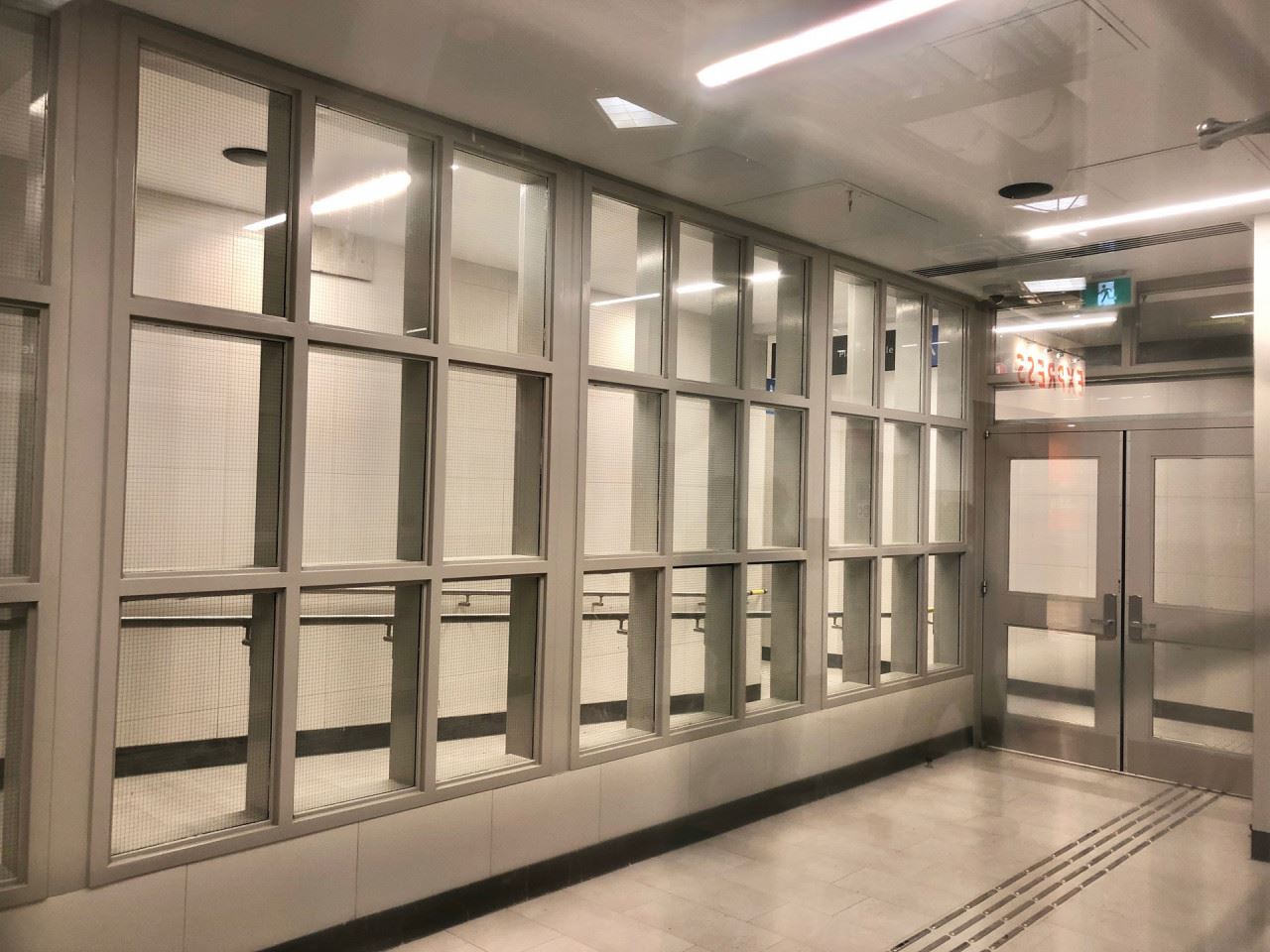
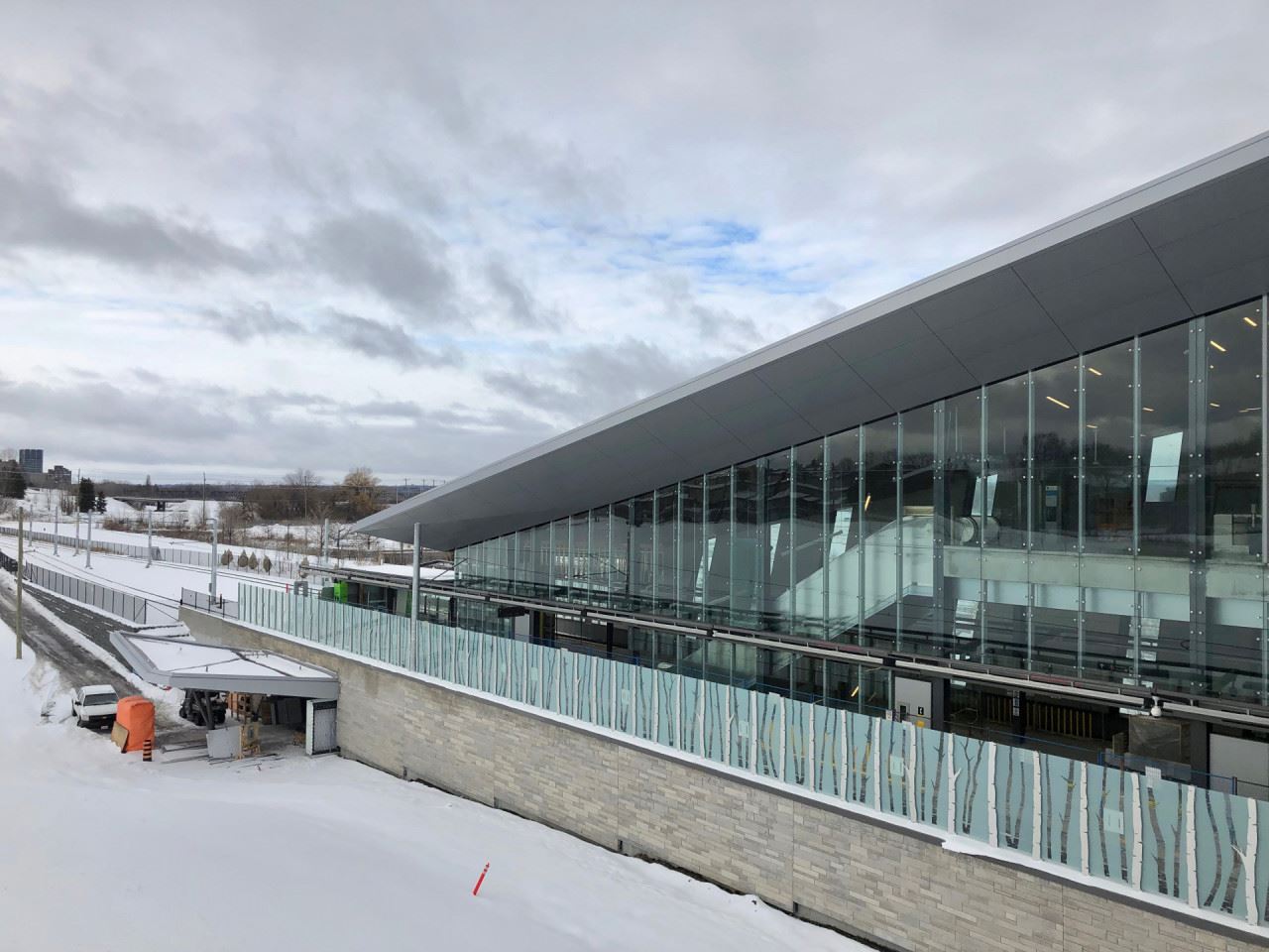
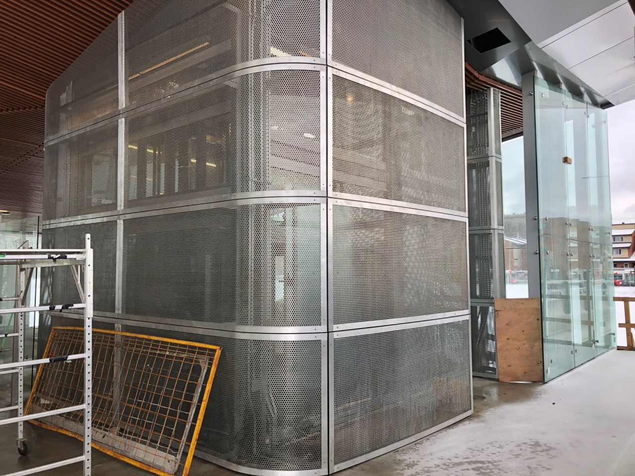
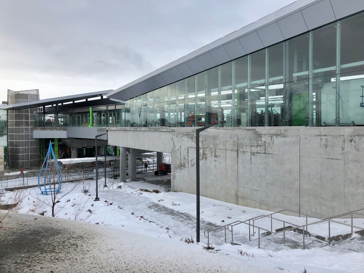
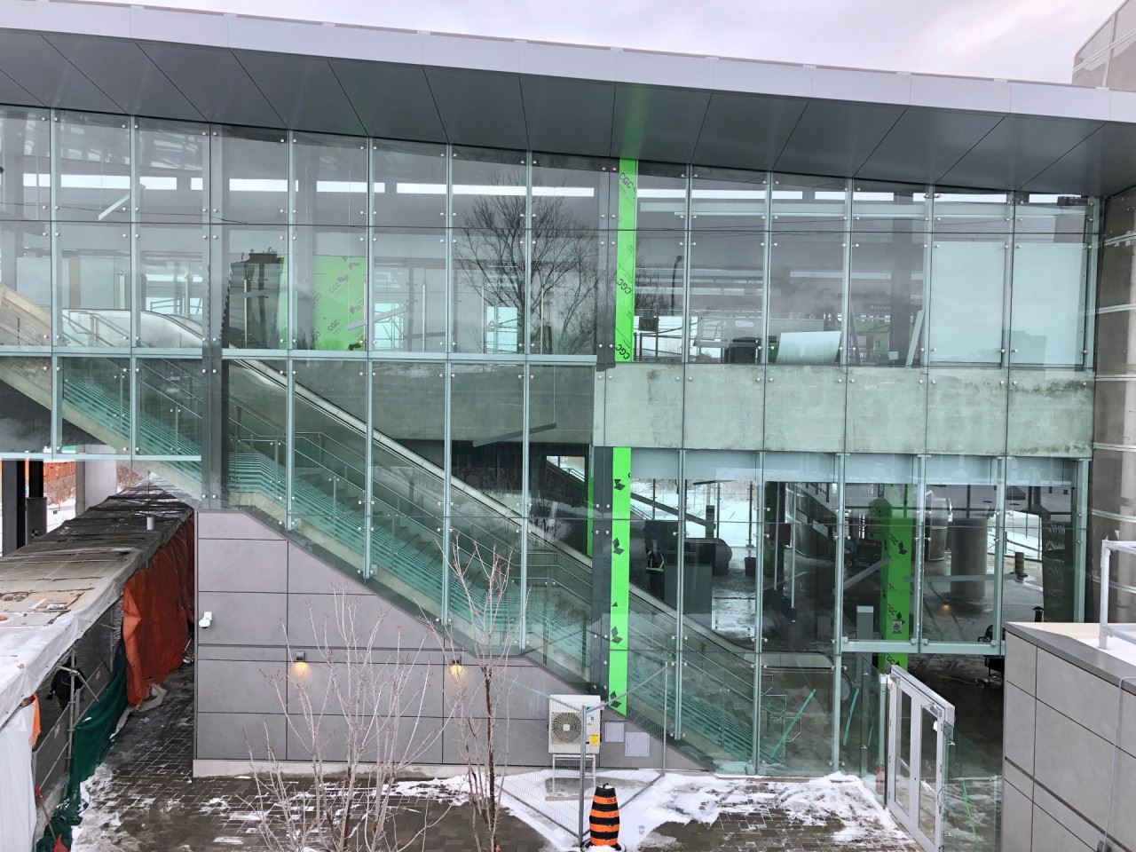
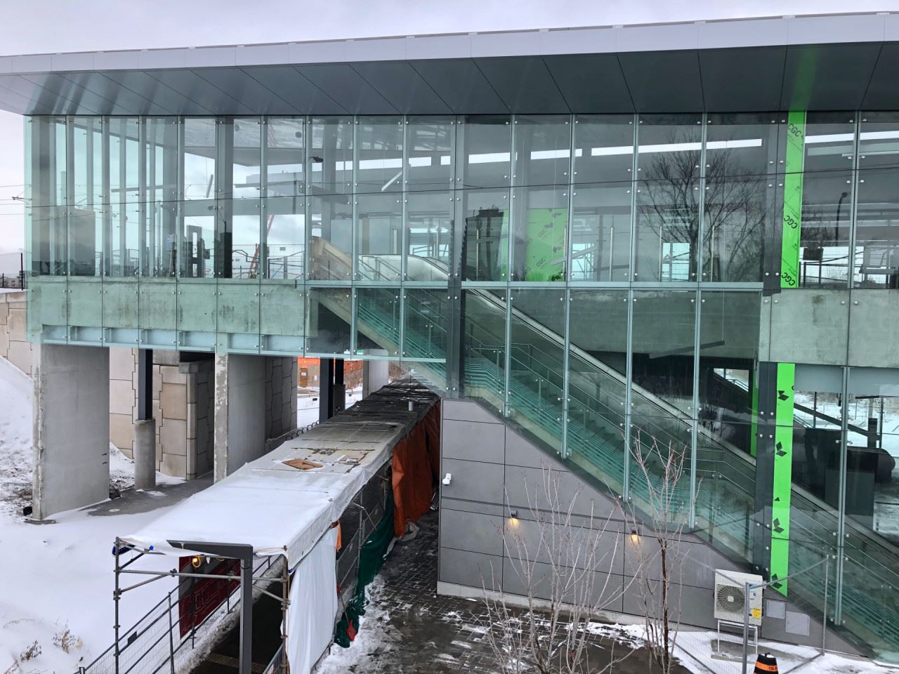
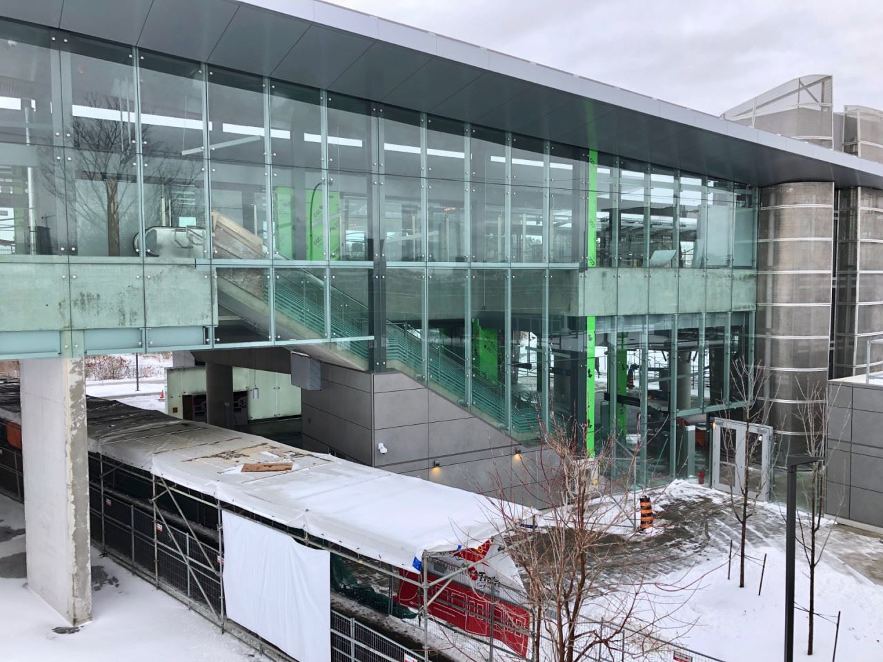
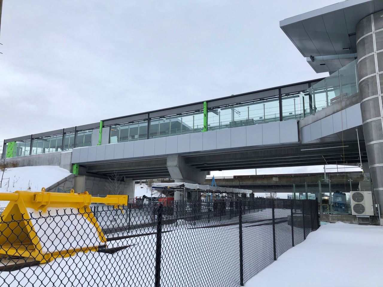
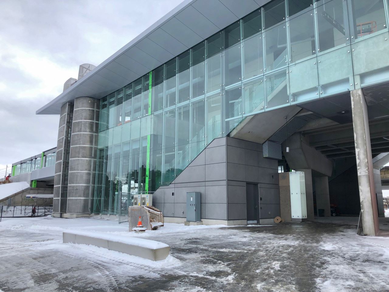
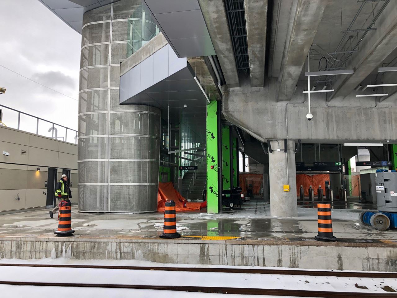
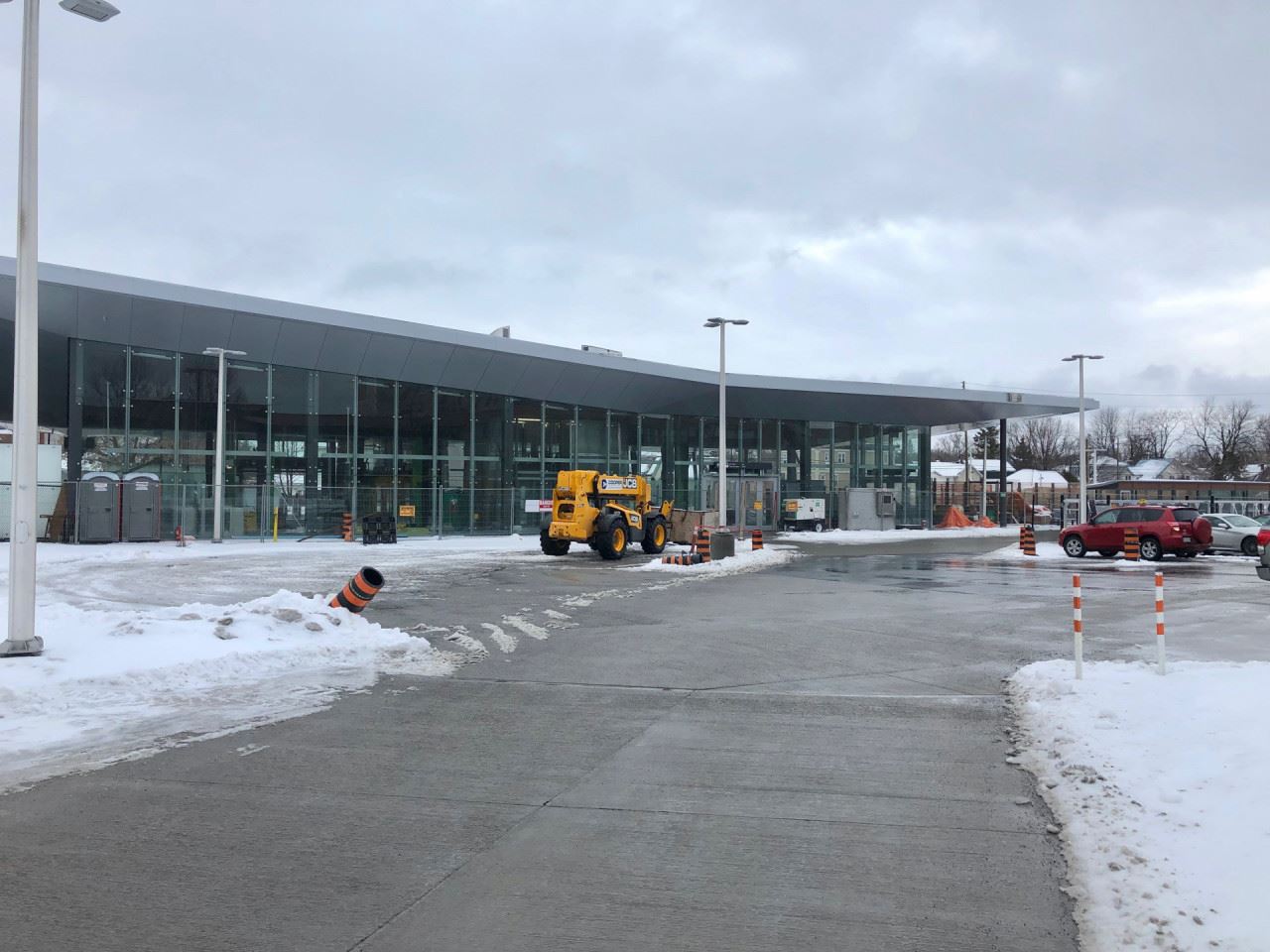
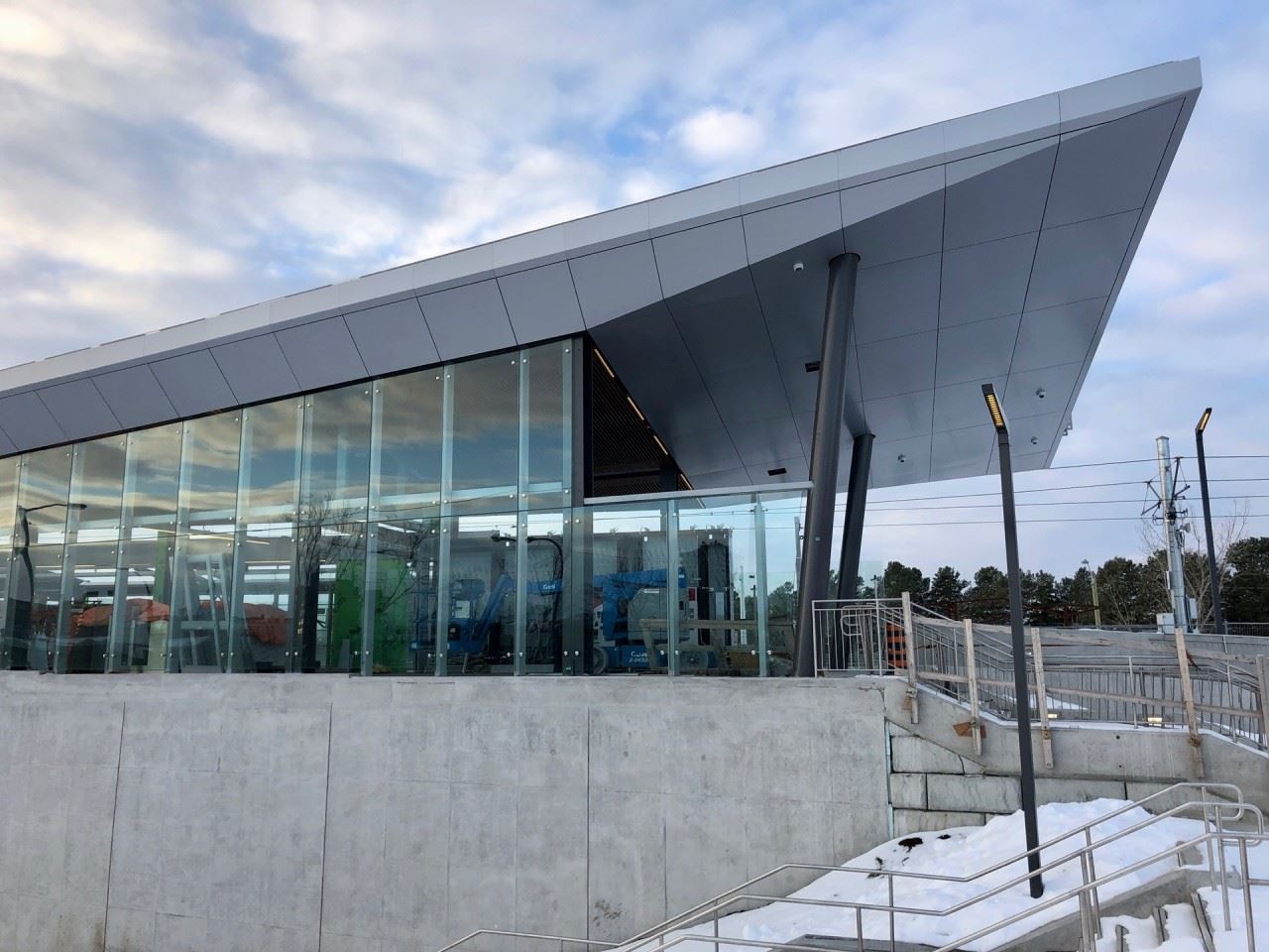
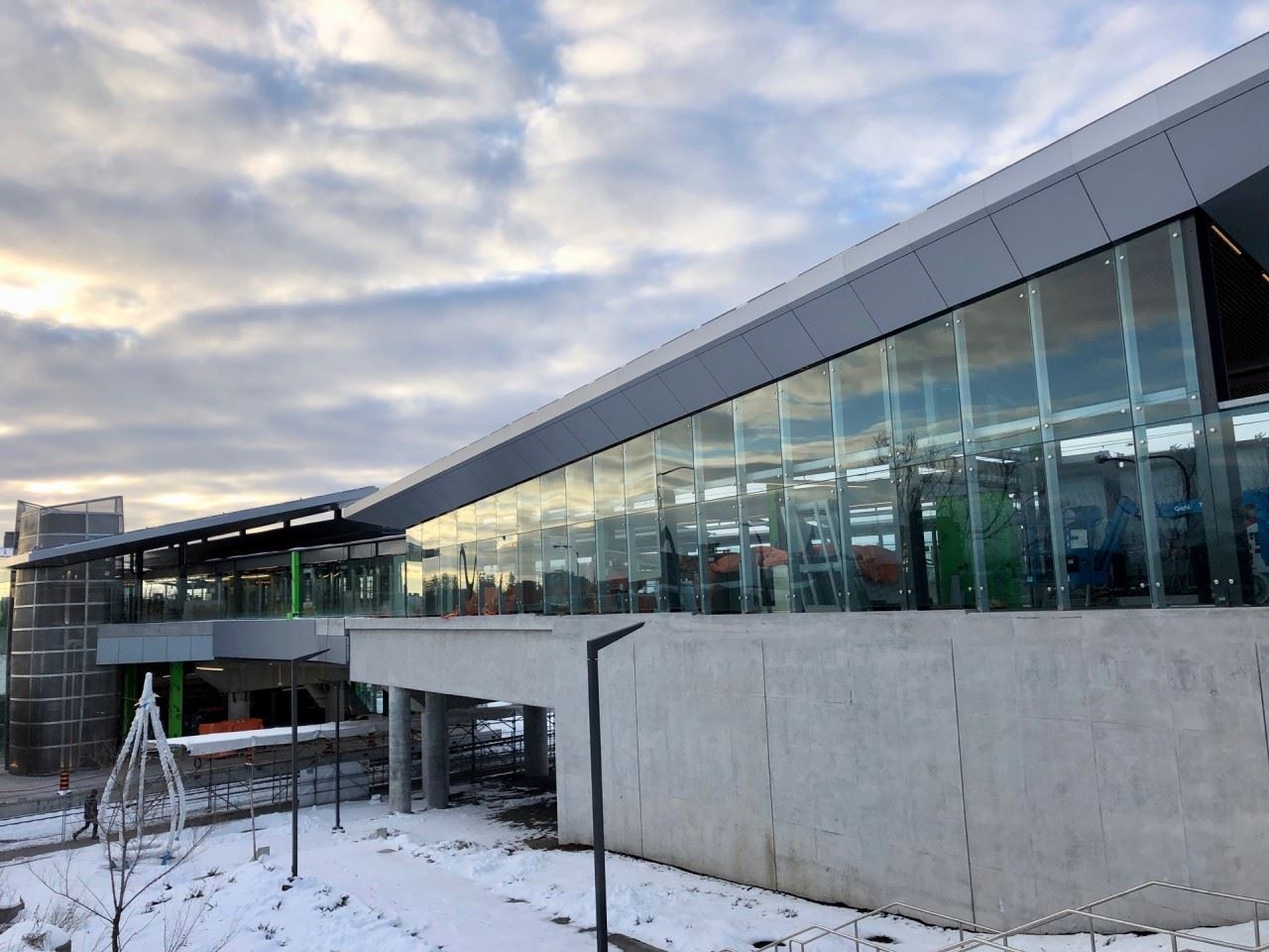
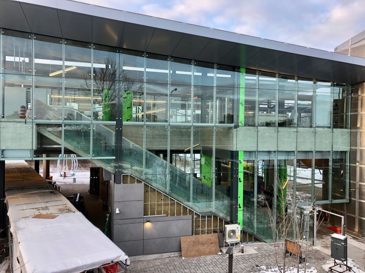
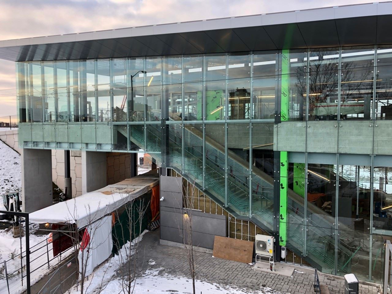
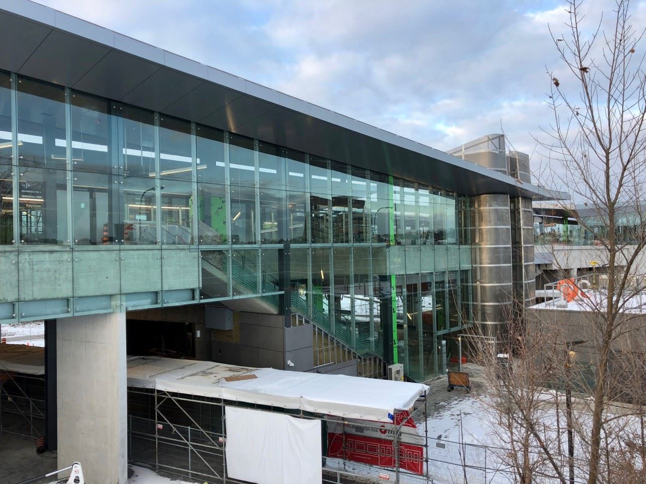
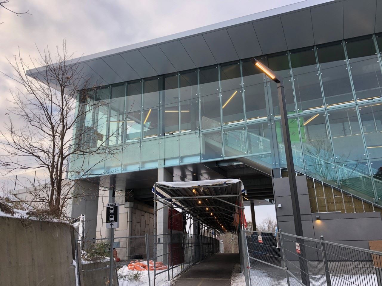
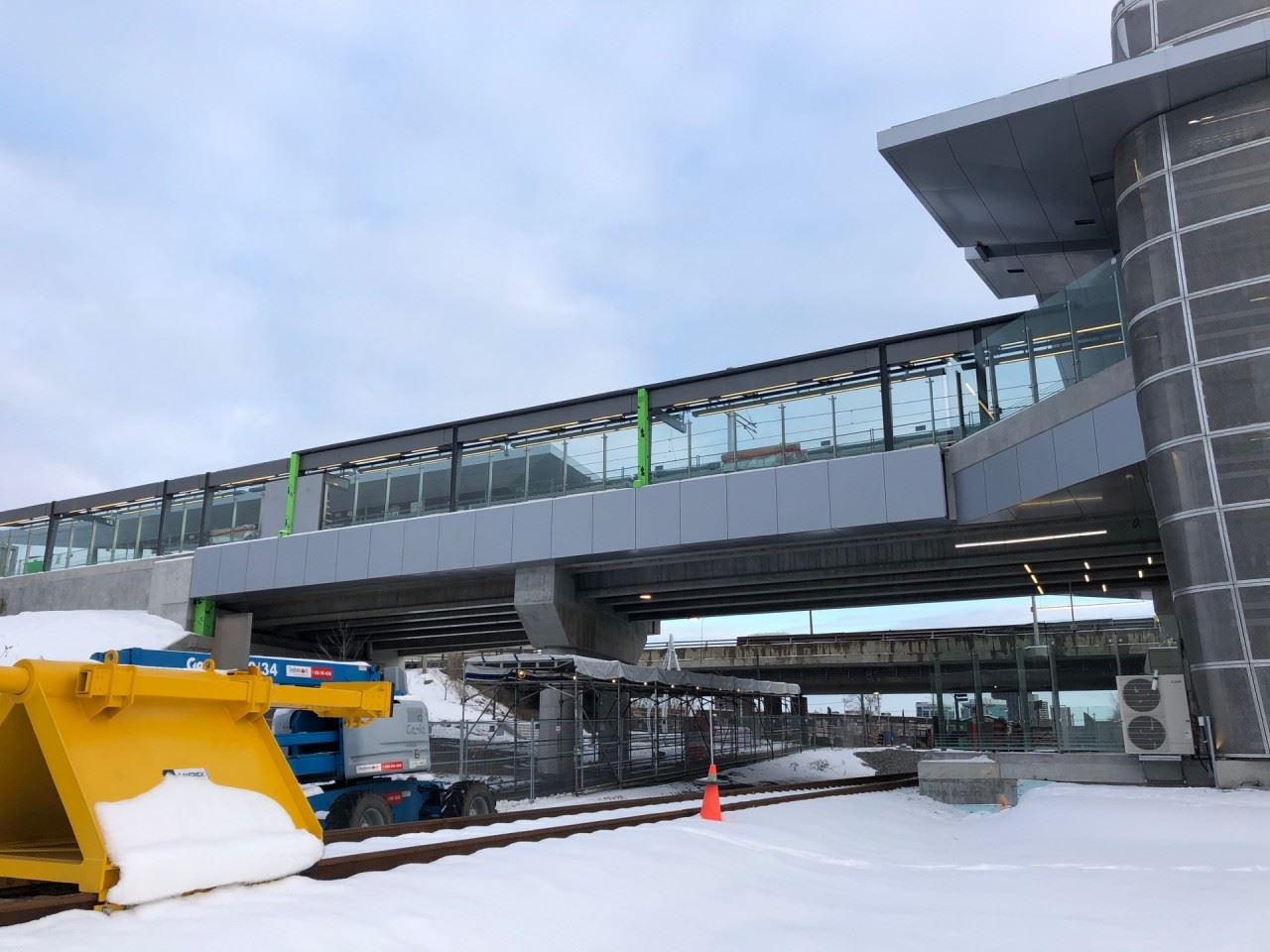
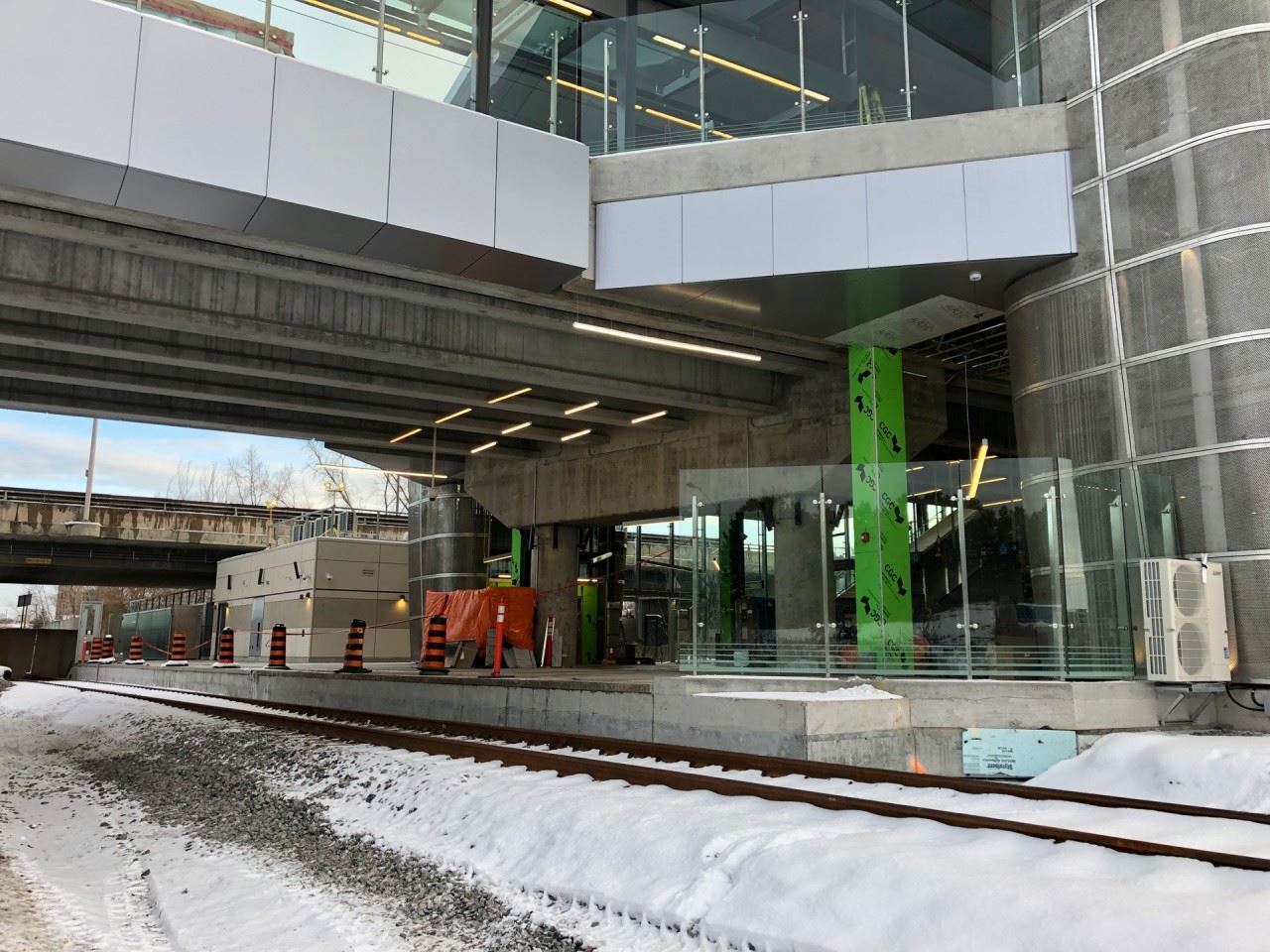
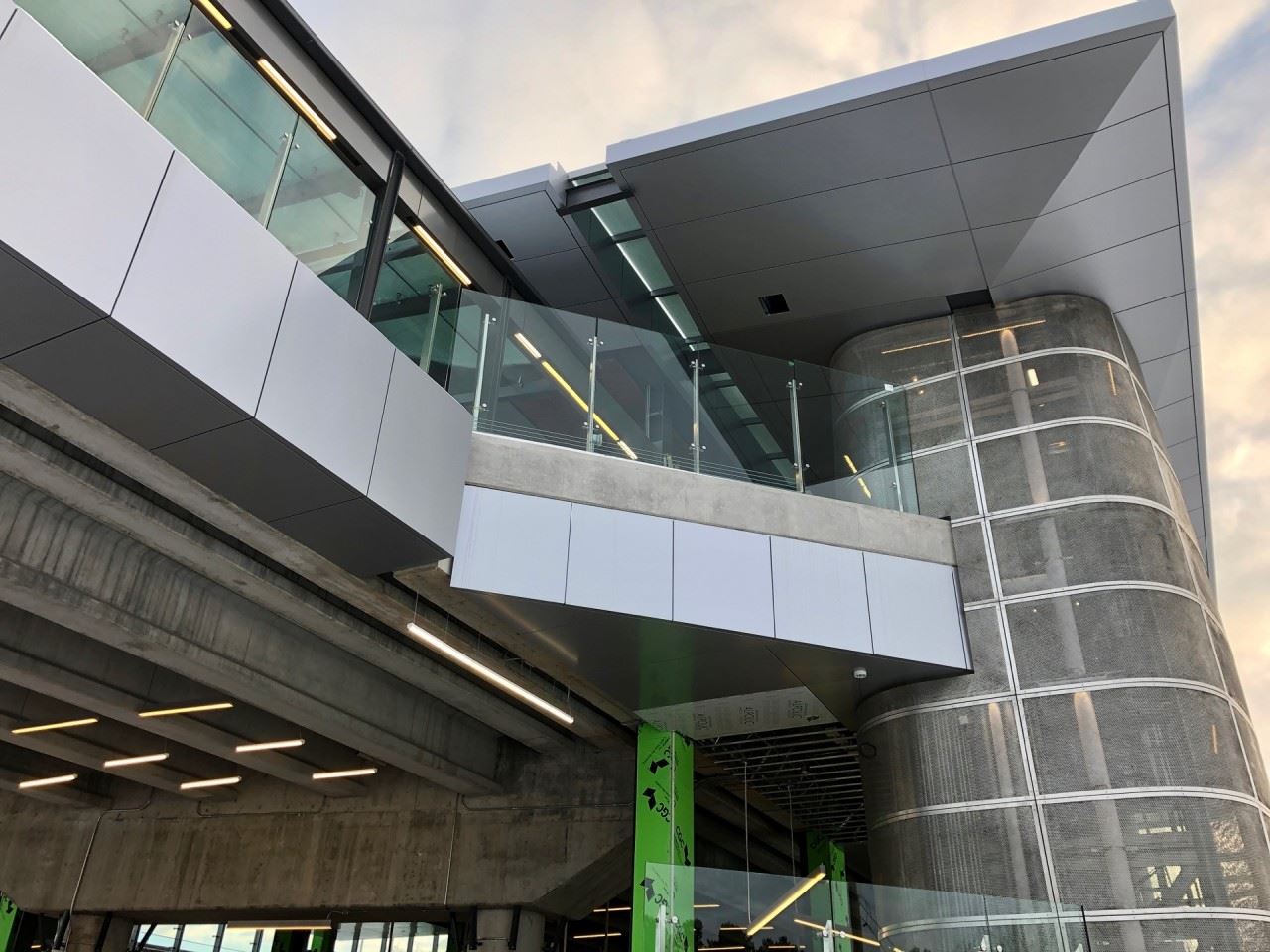
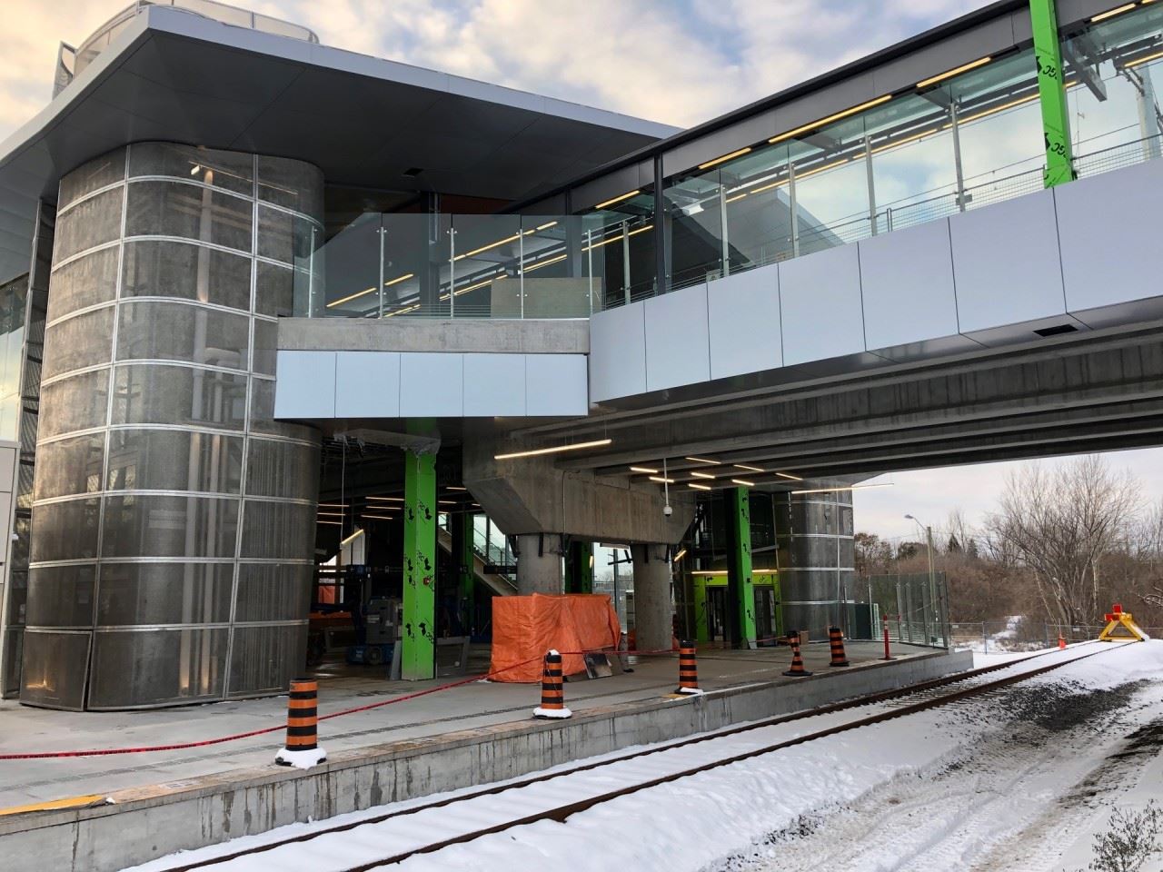
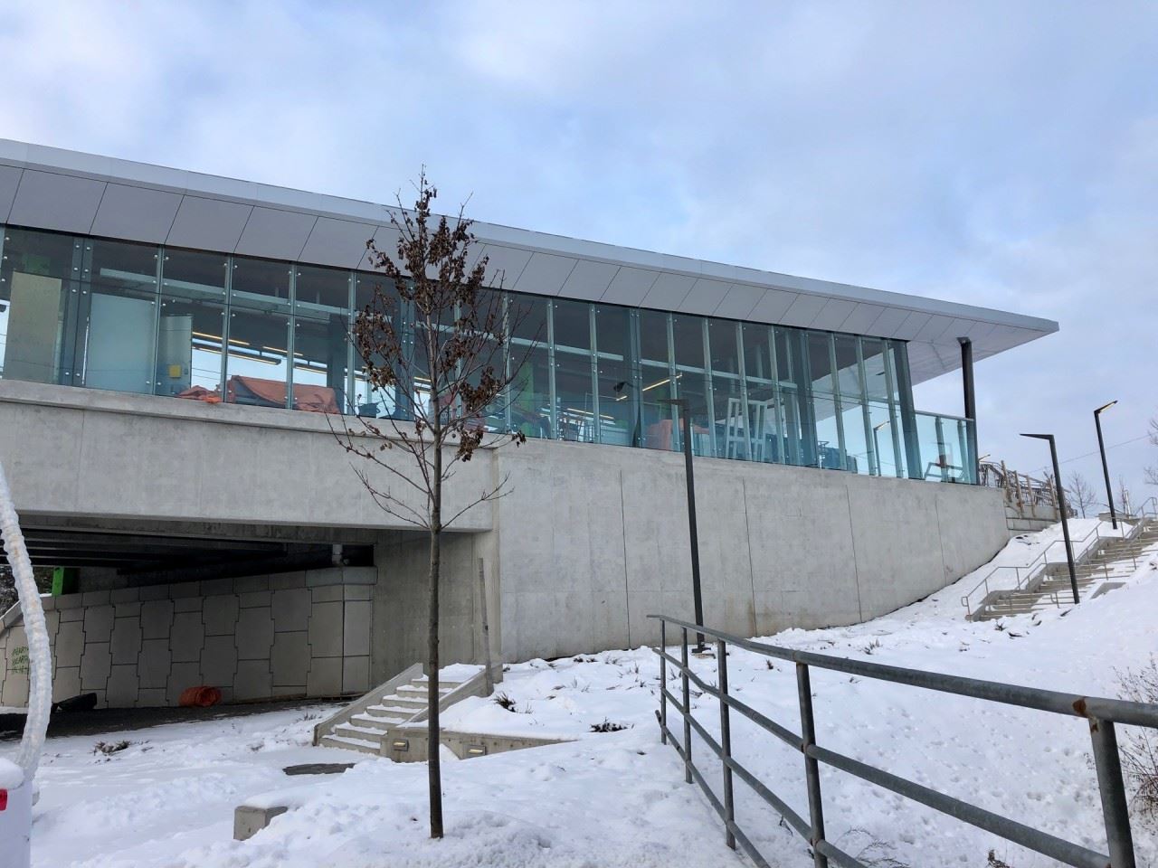
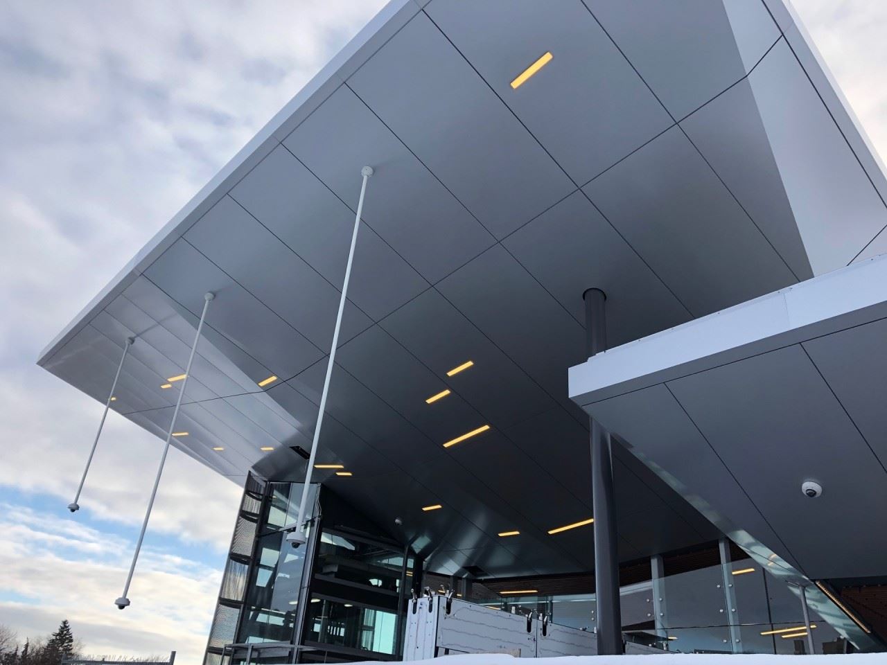
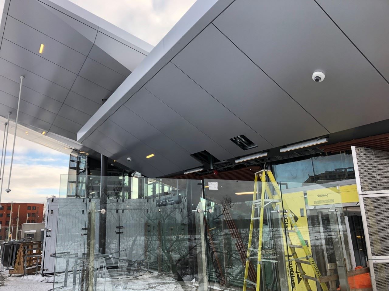
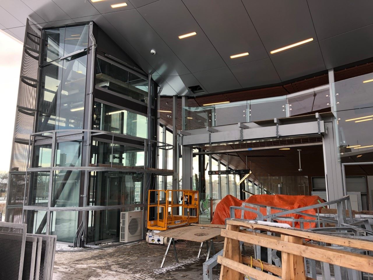
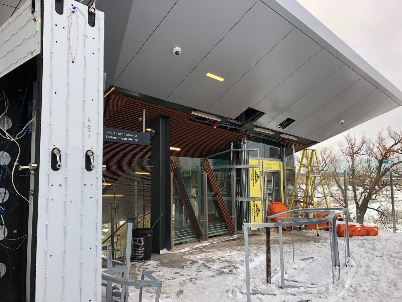
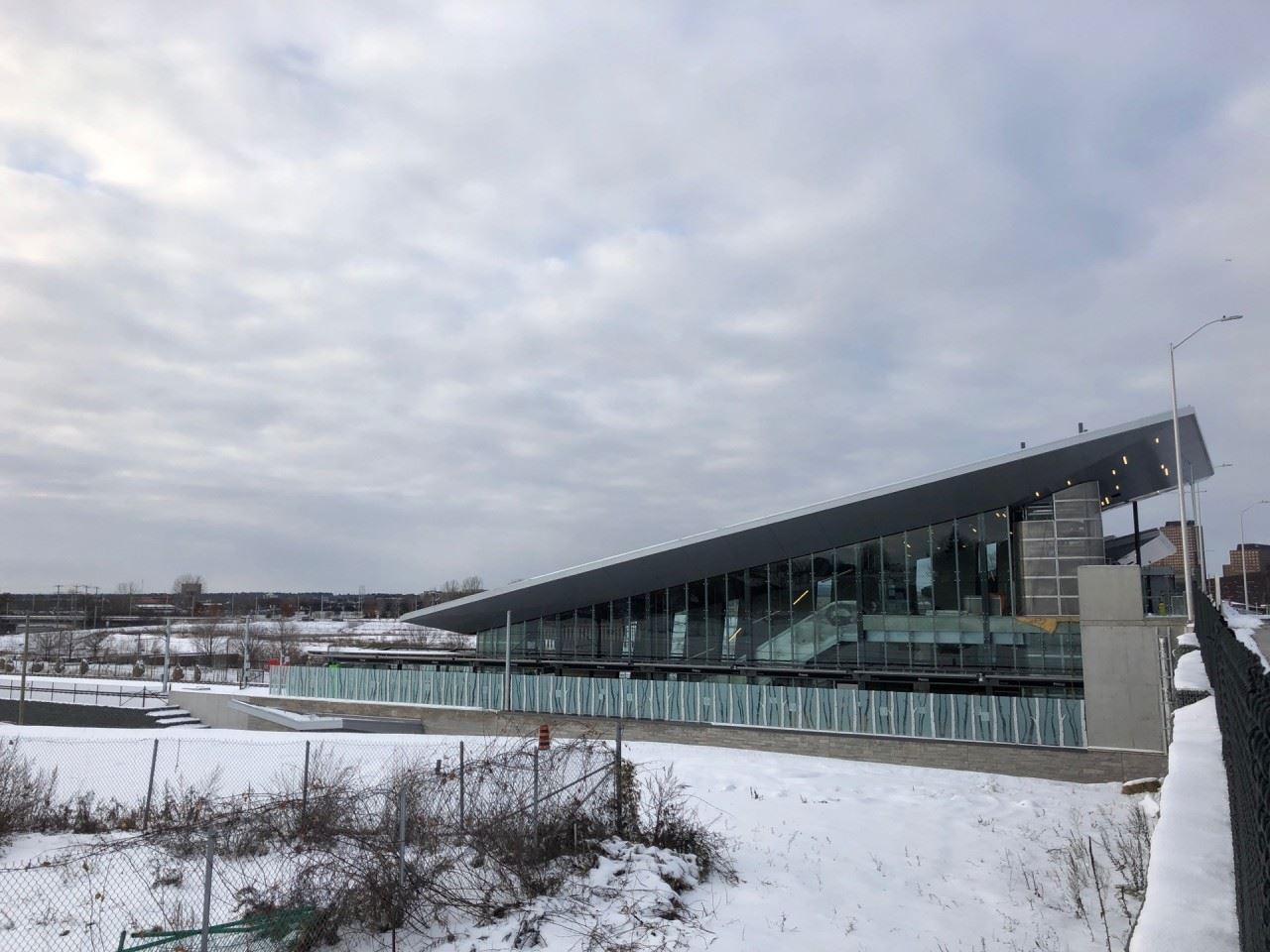
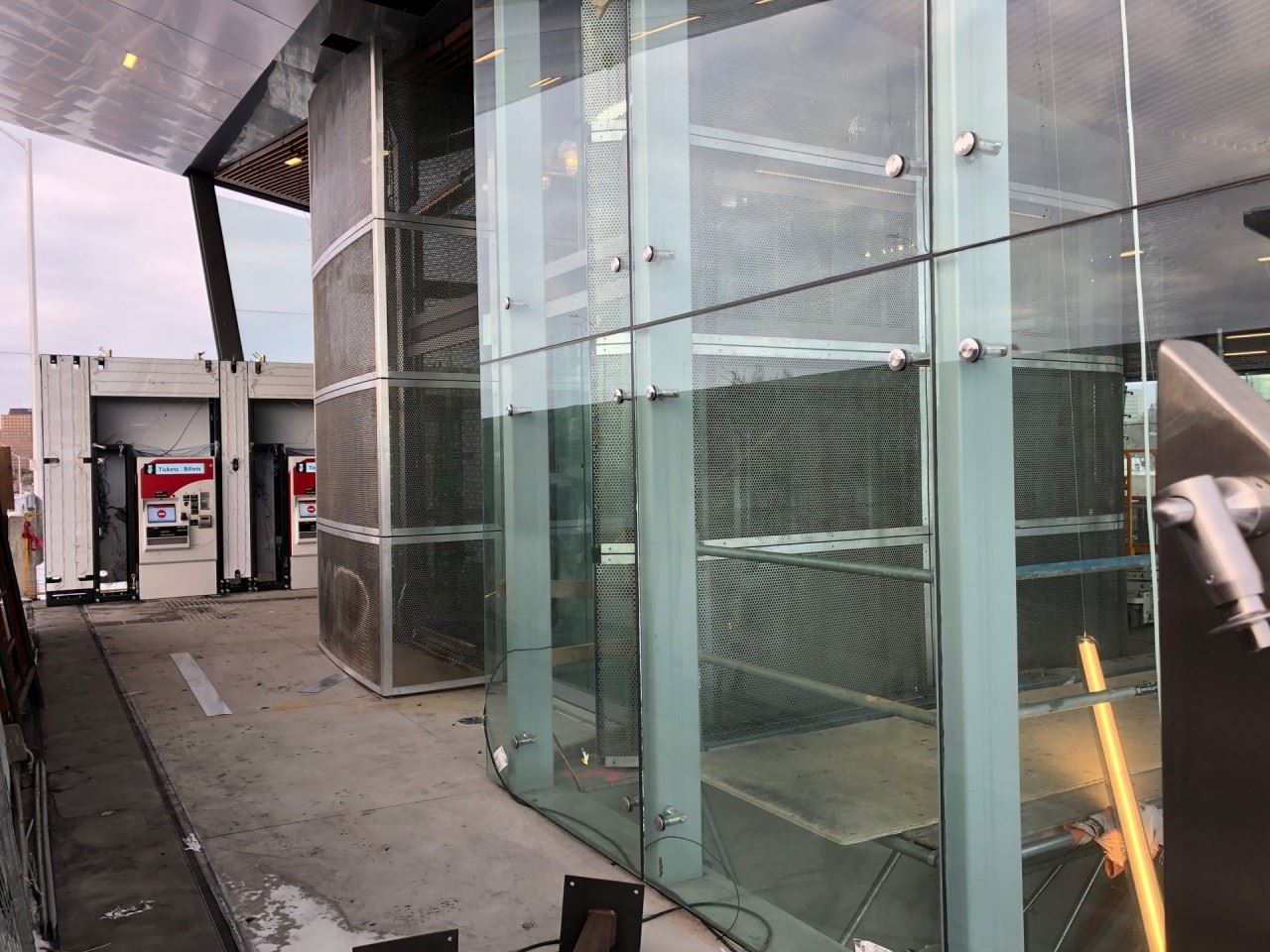
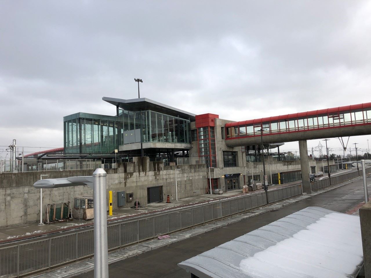
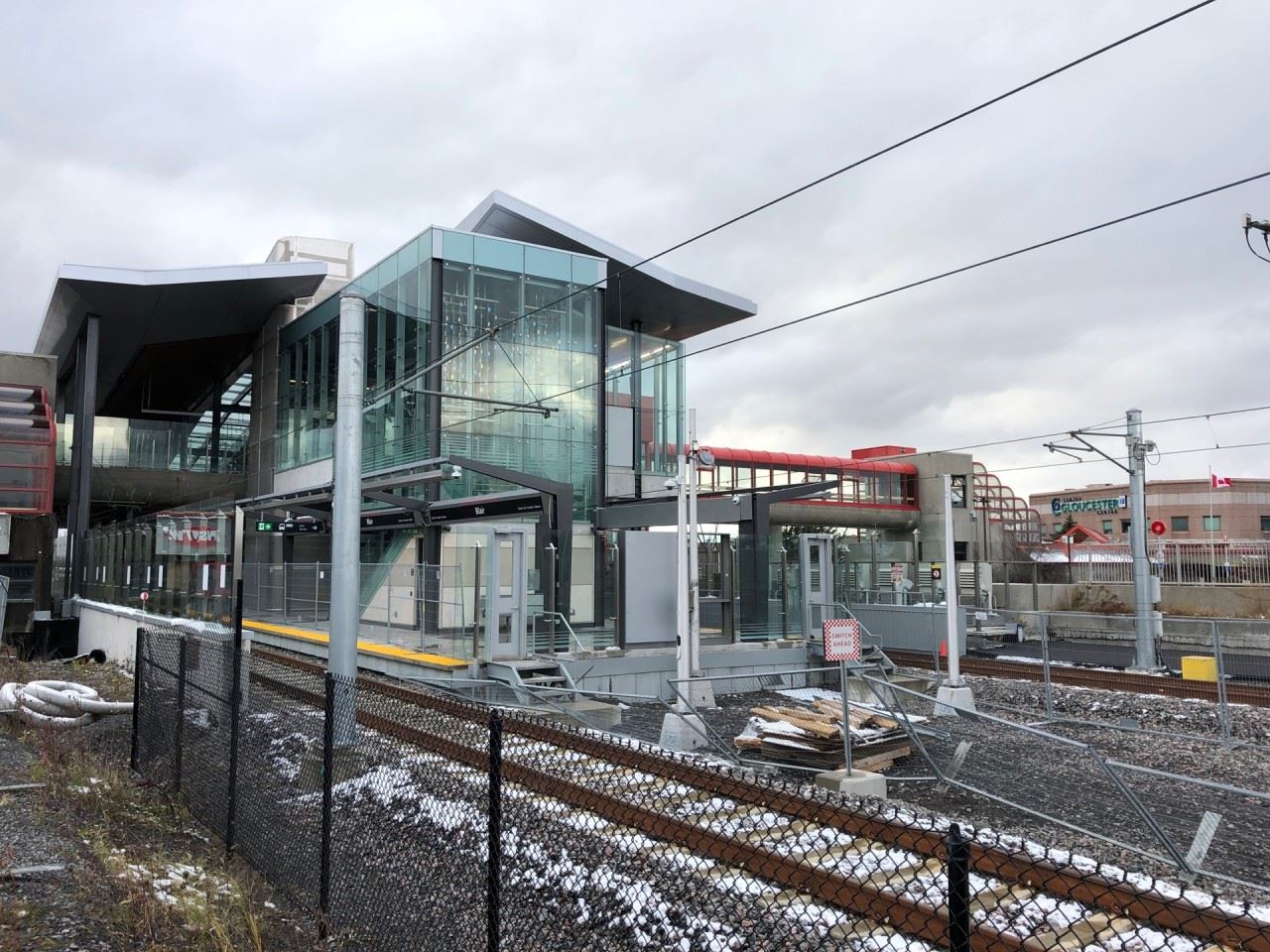
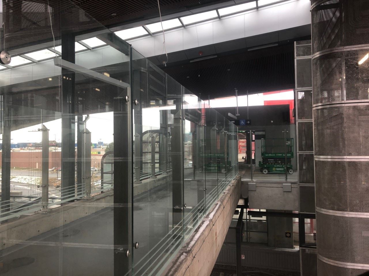
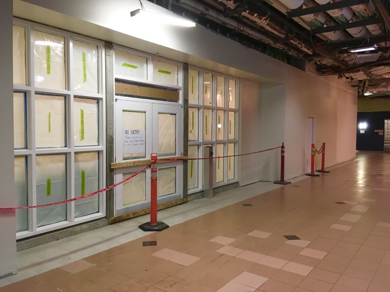
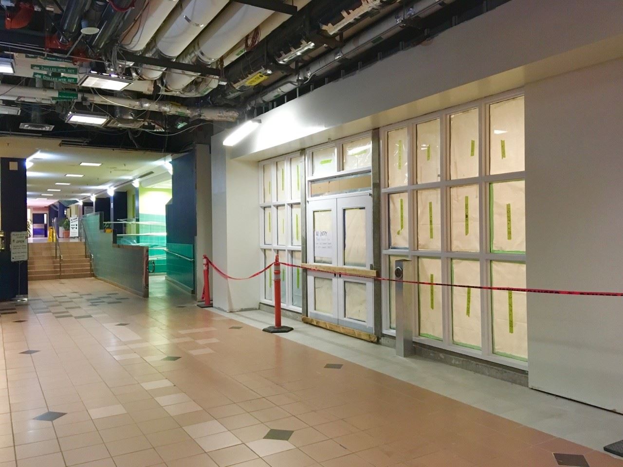
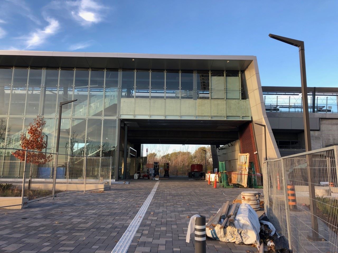
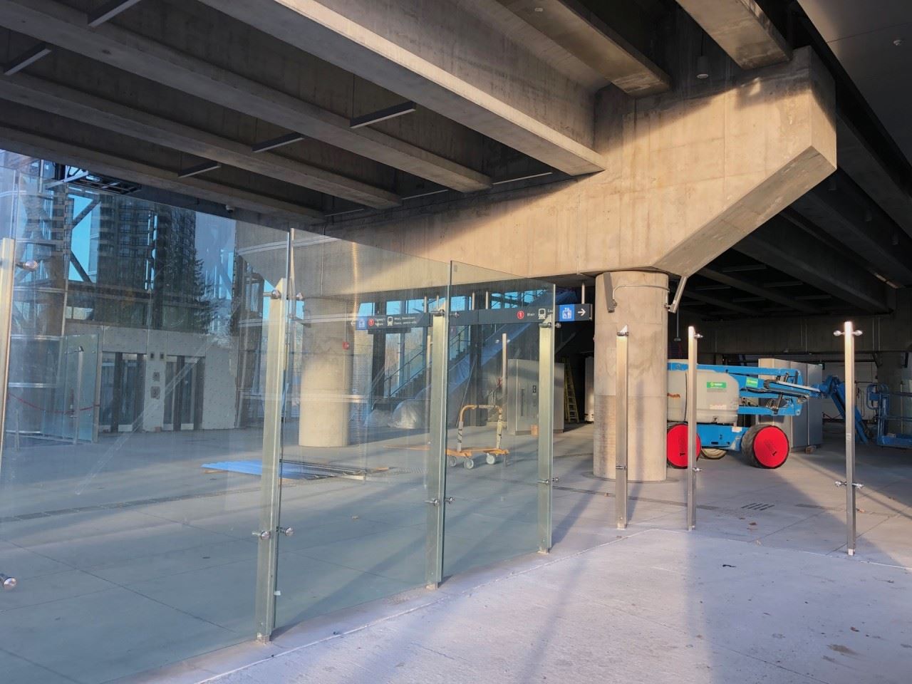
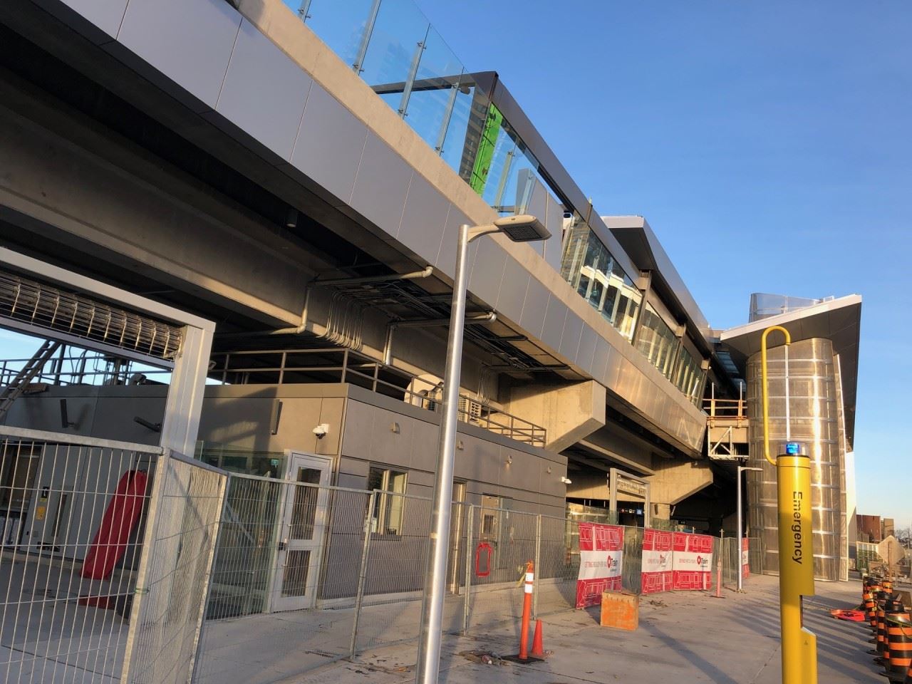
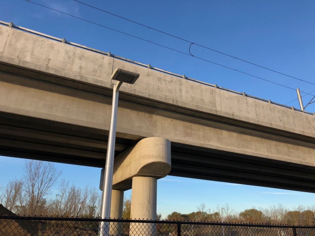
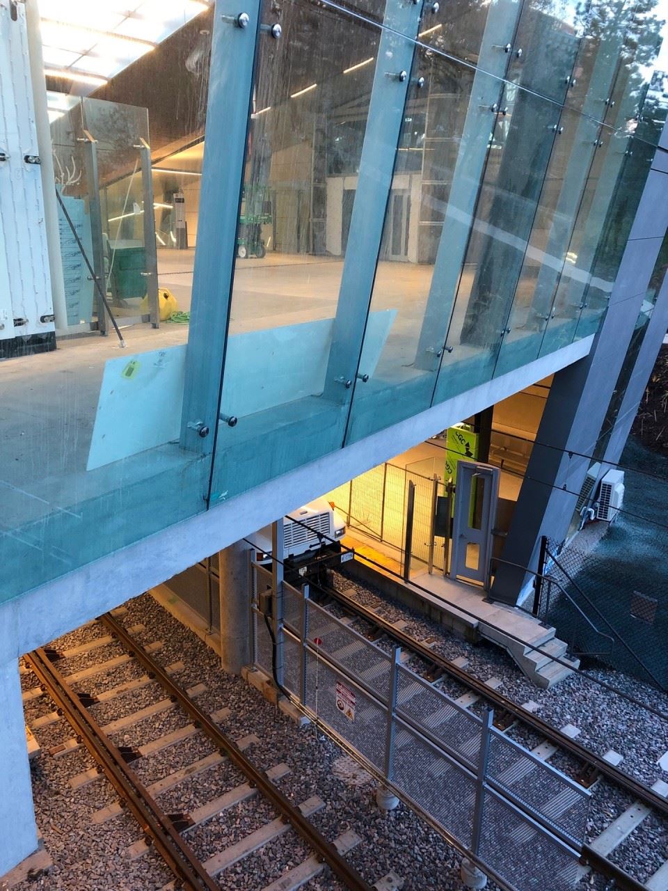
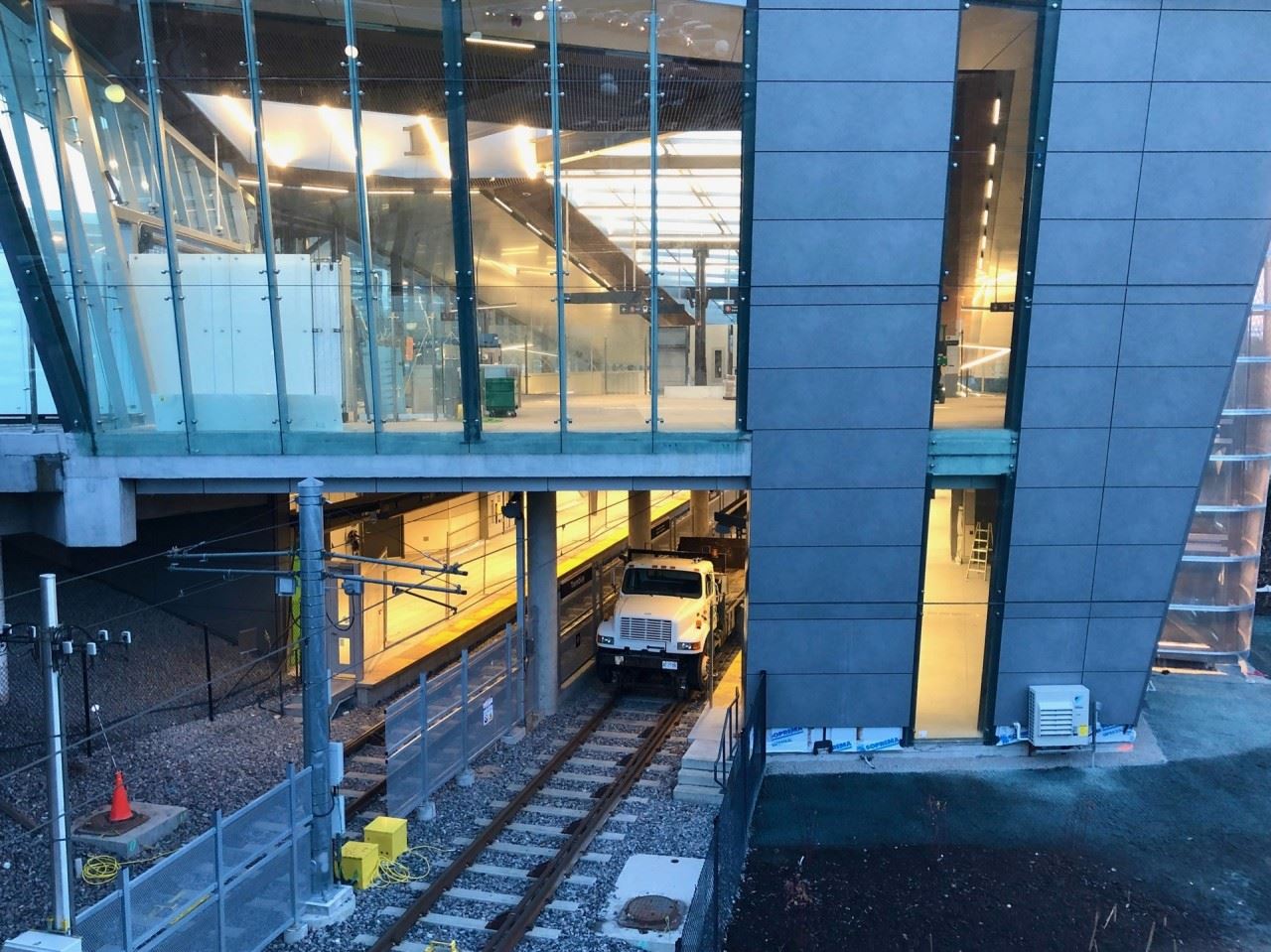
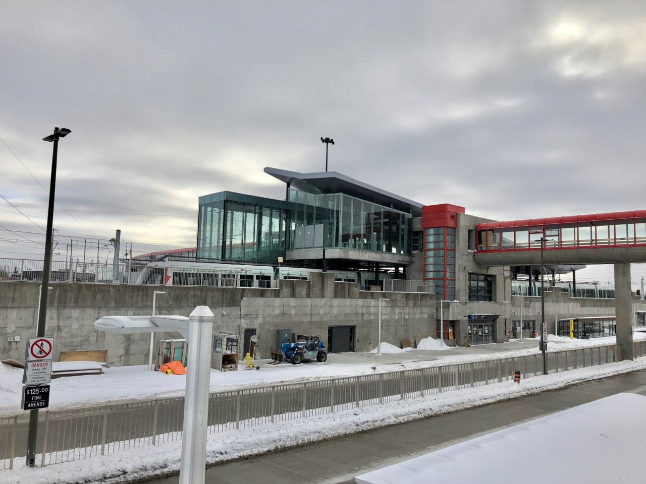
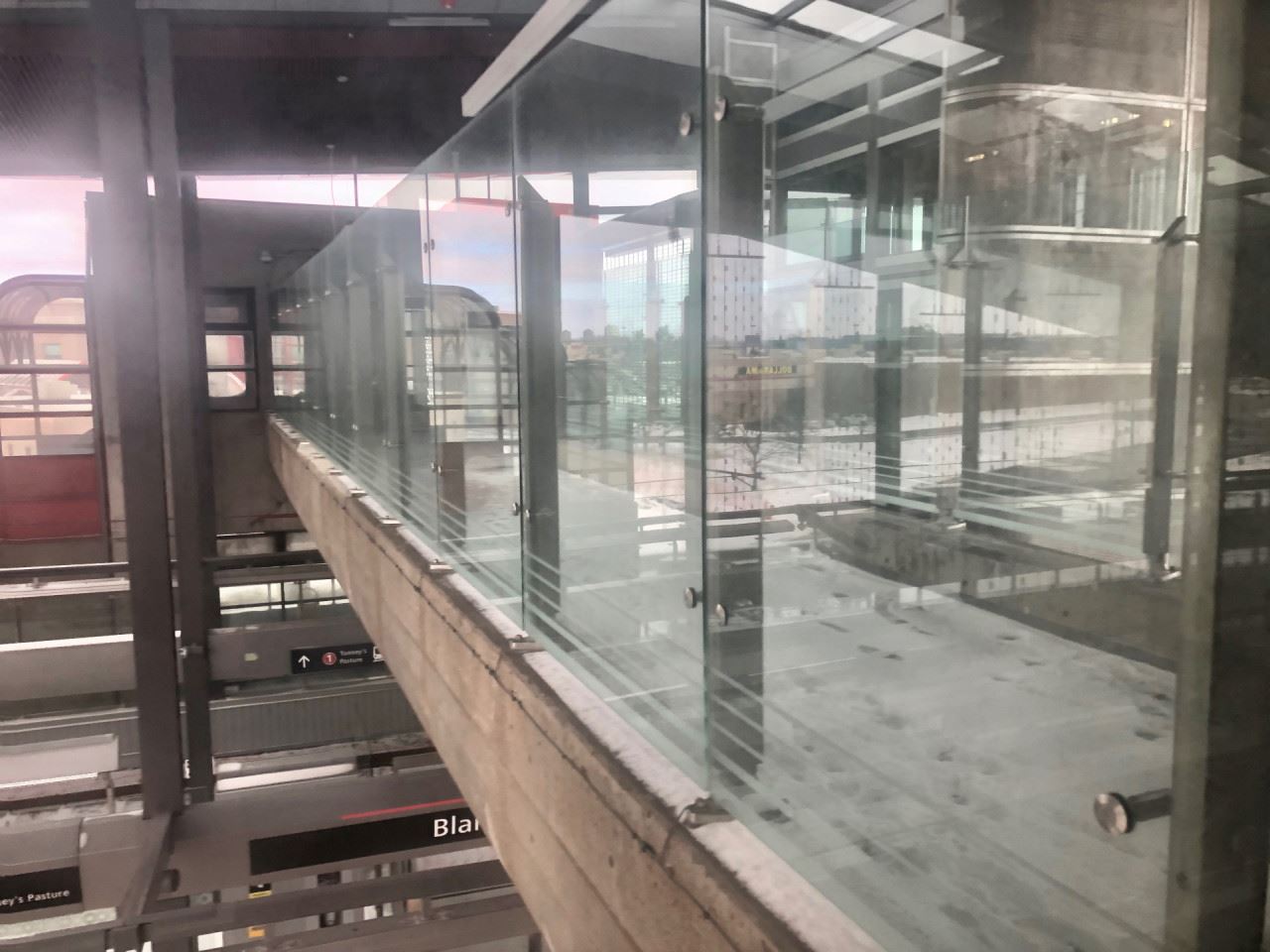
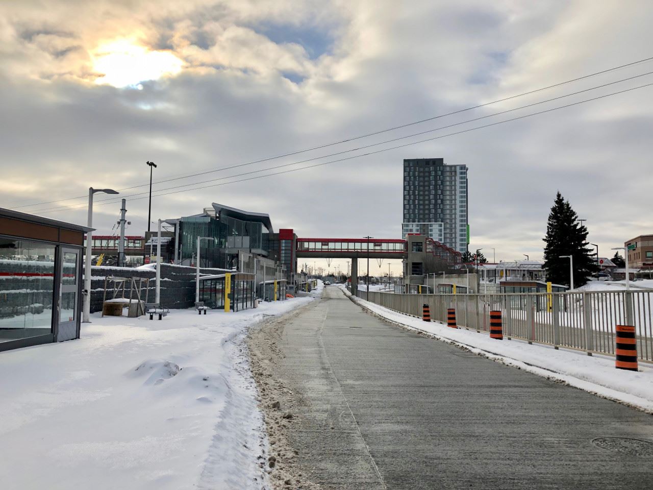
This portion of the station is all brand new, except for one part that remains from the original Transitway structure. Keep reading to find out what it is.
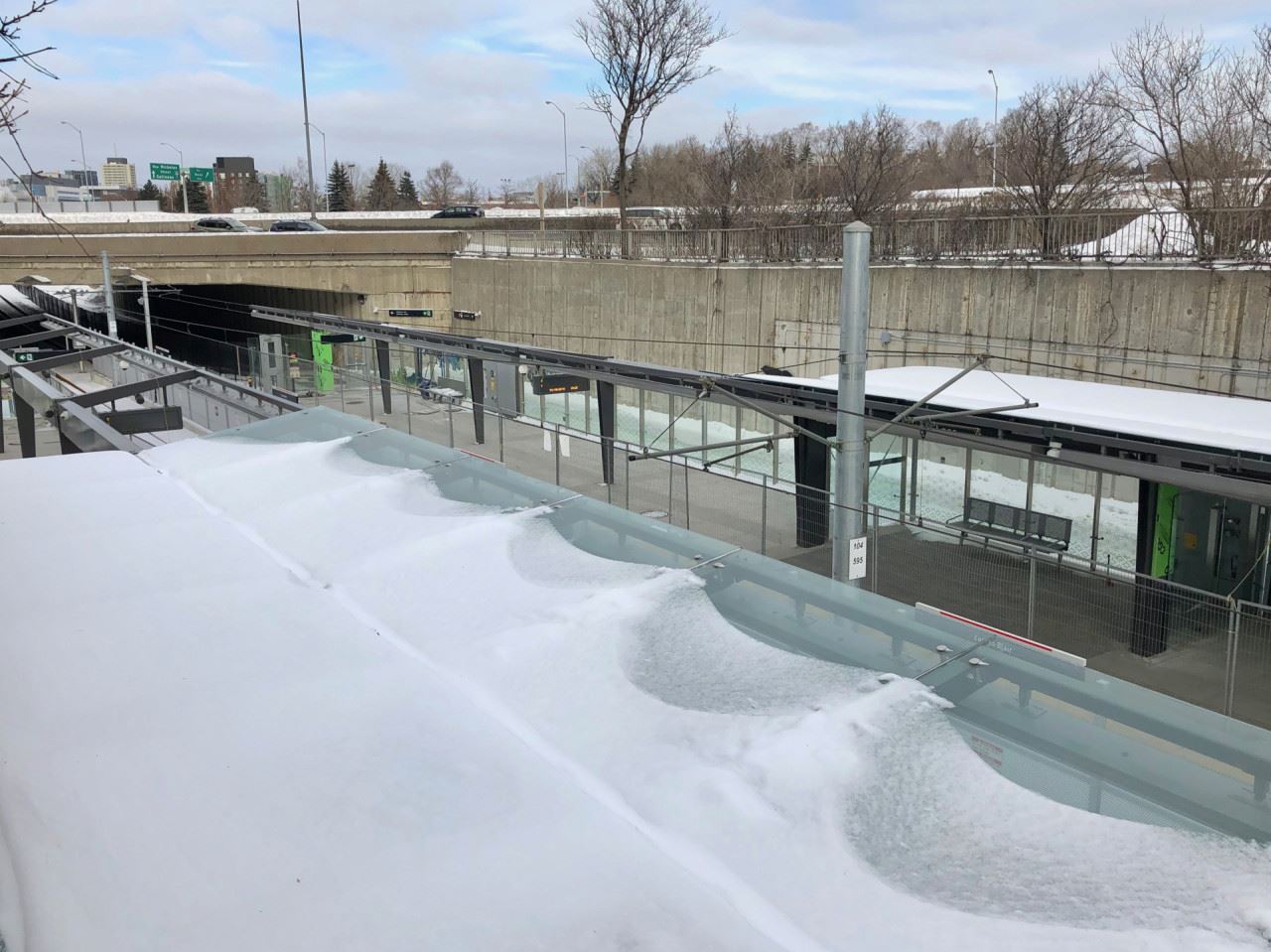
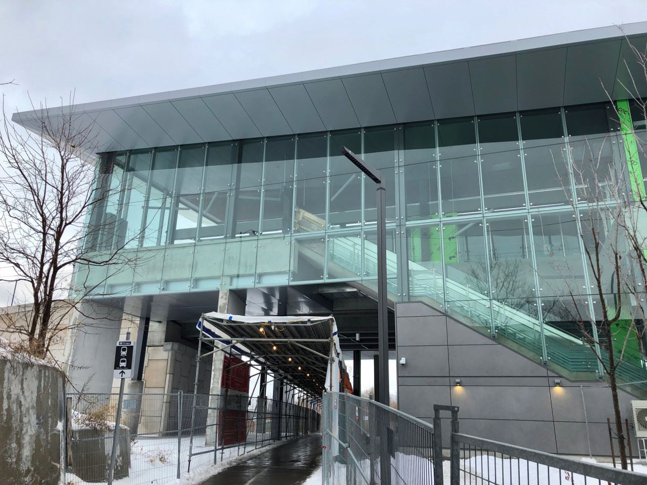
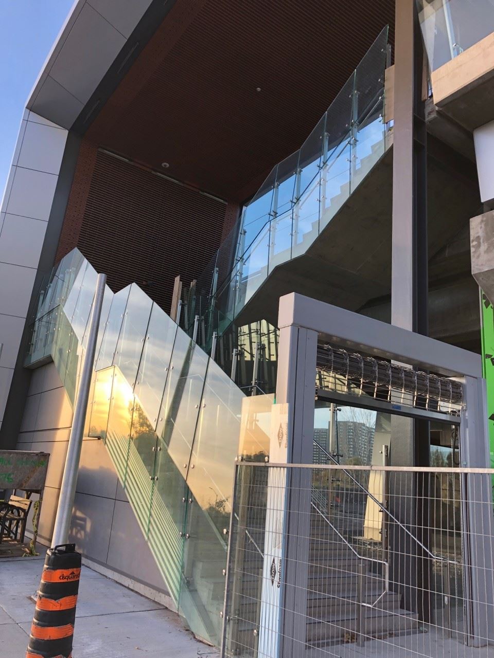
Yes! The concrete overhead walkway was retained, and repurposed to serve the O-Train.
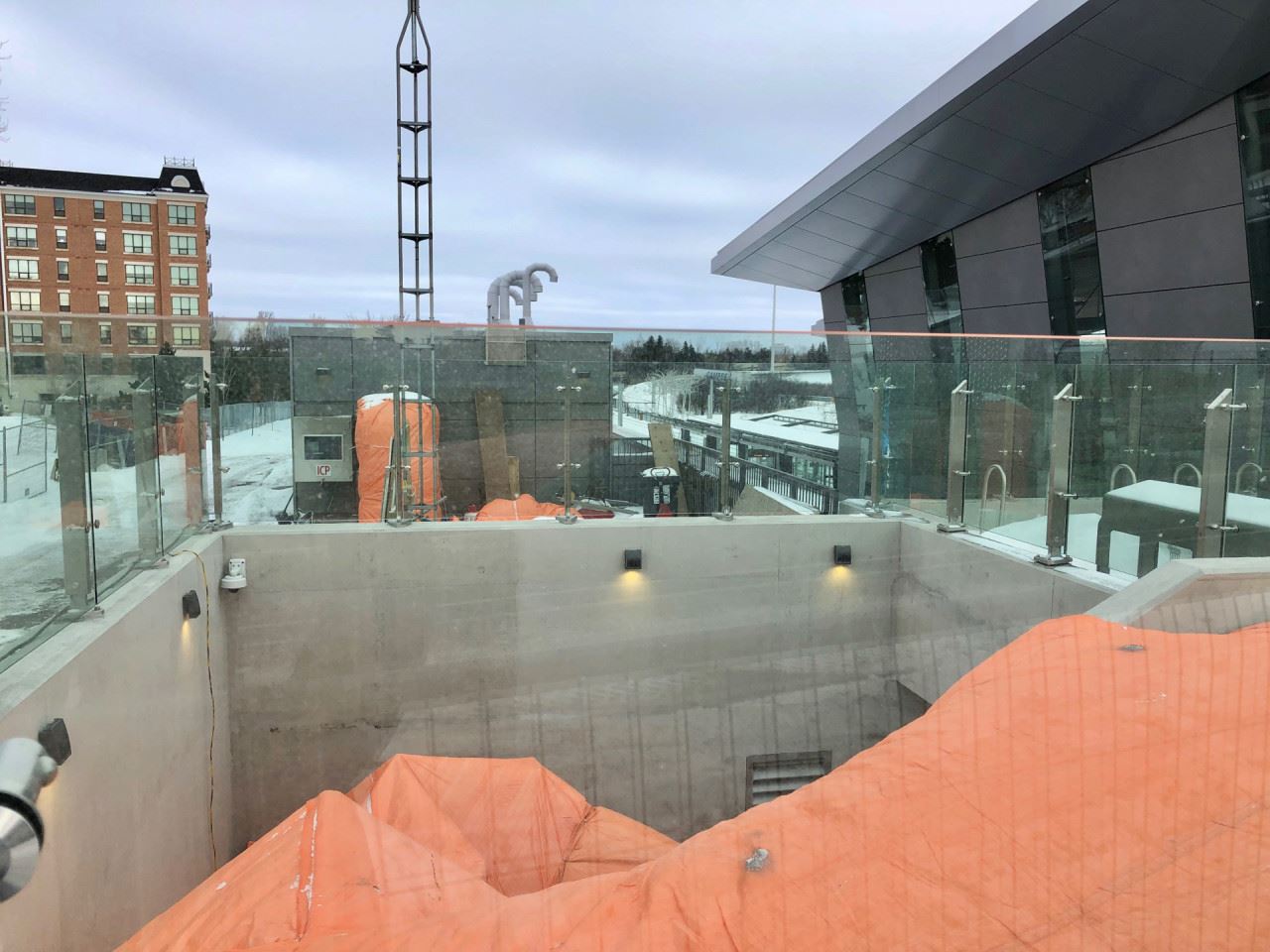
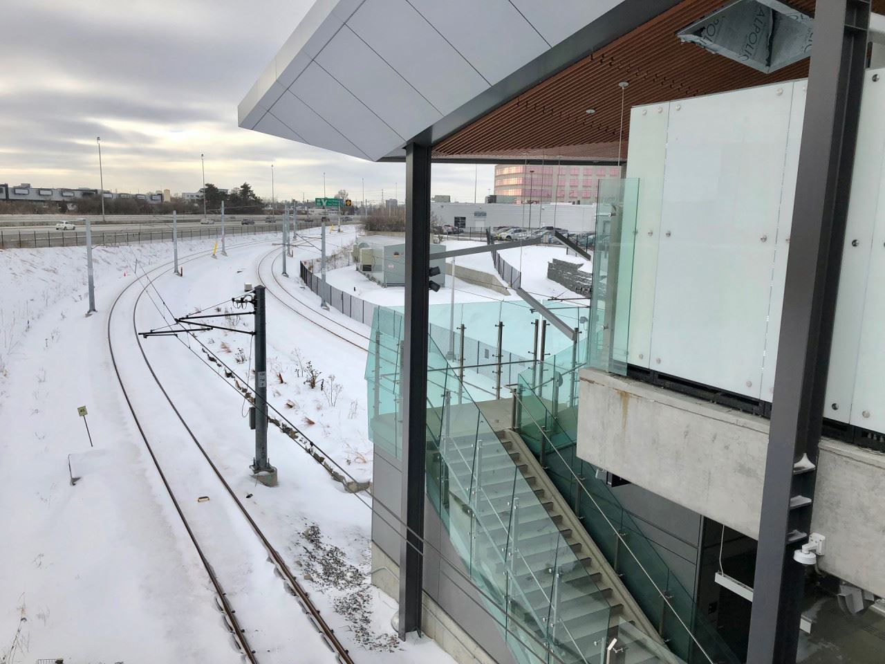
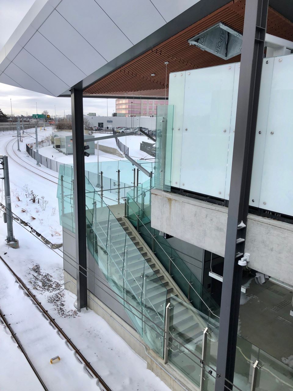
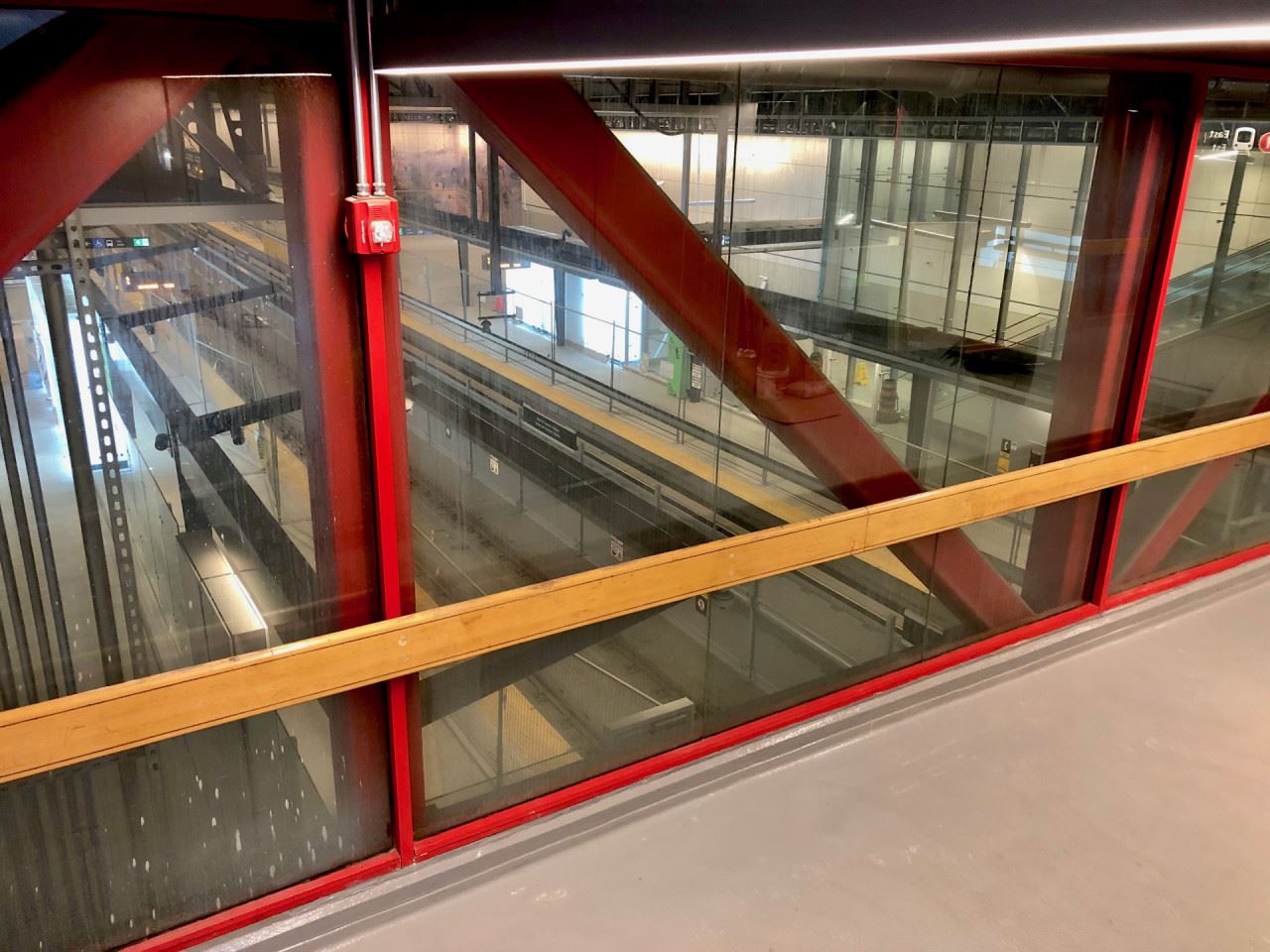
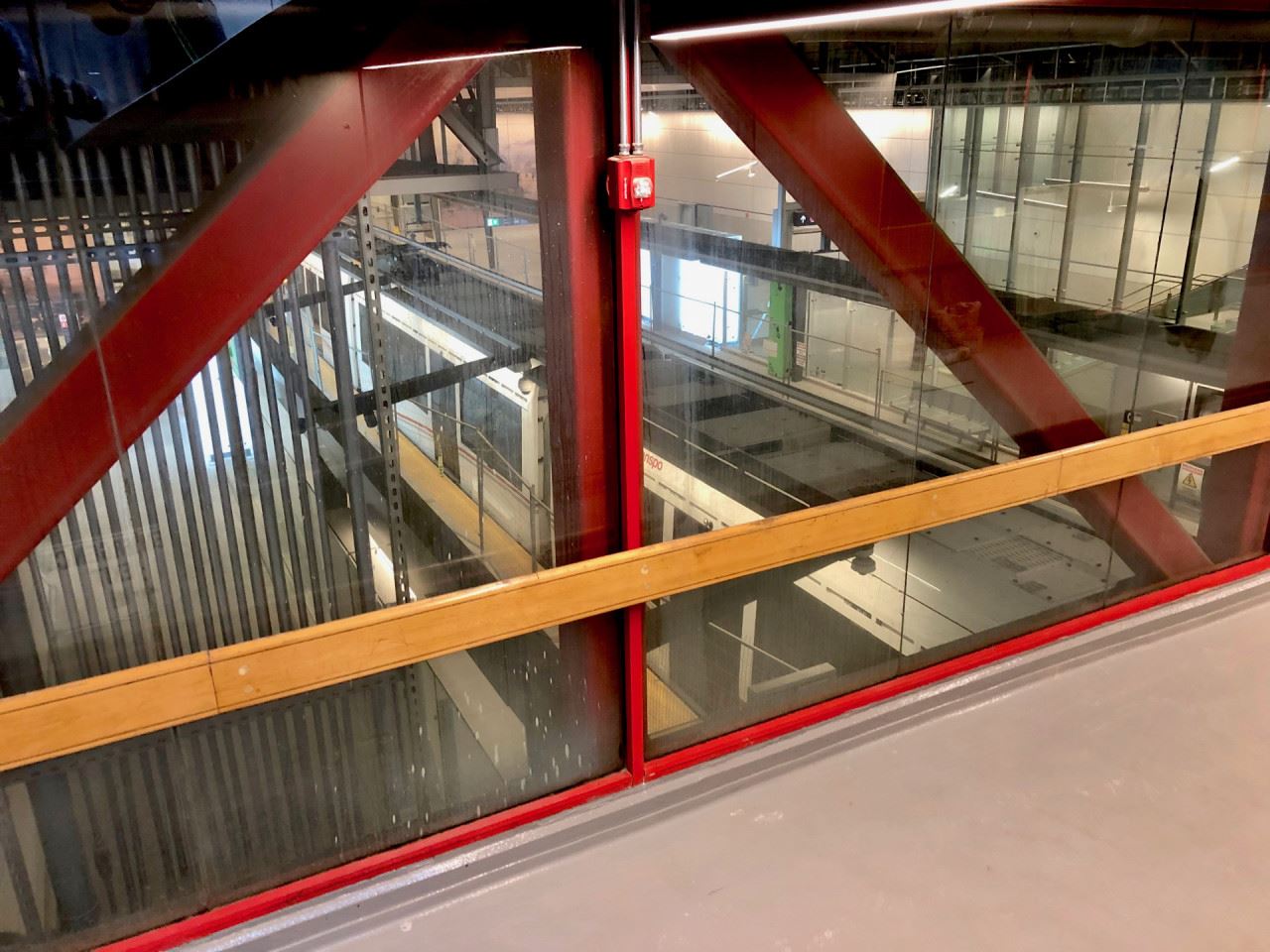
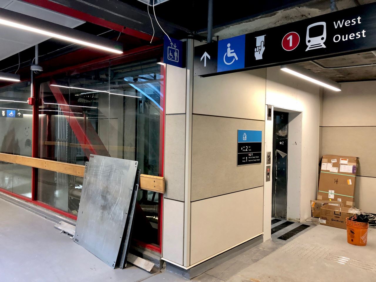
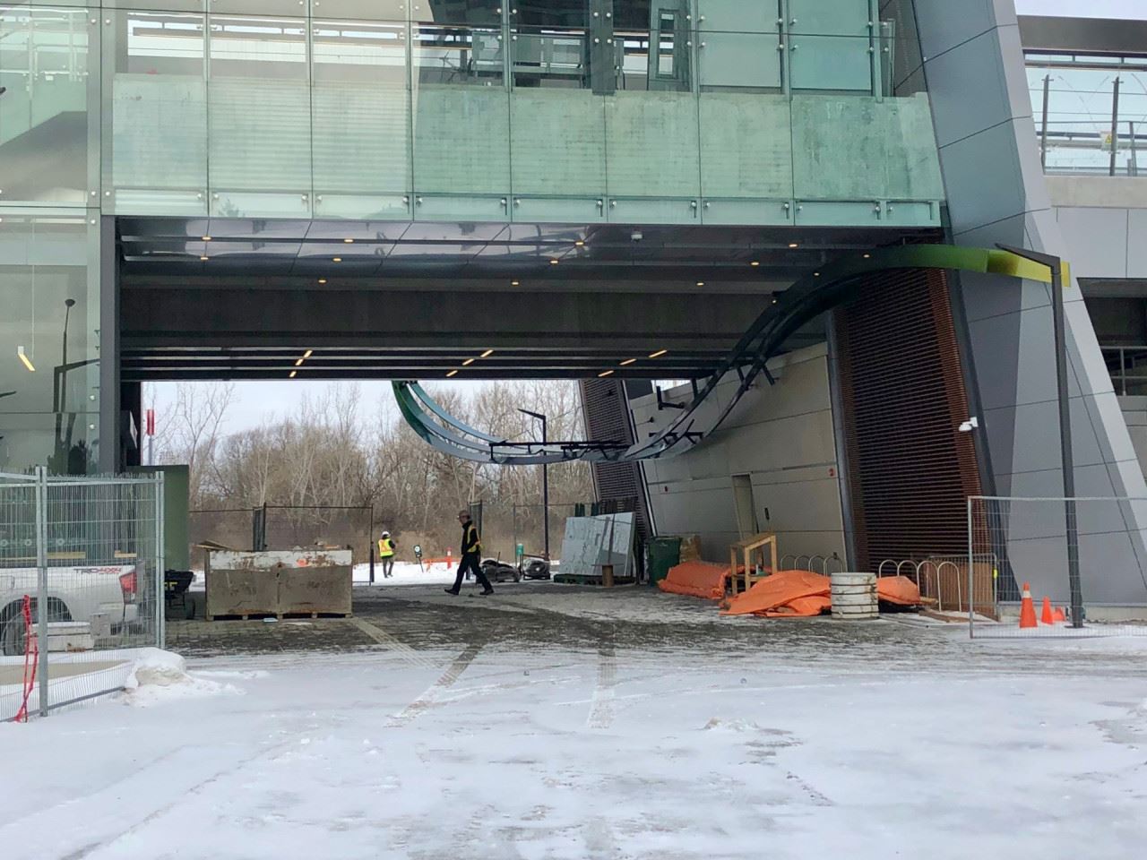
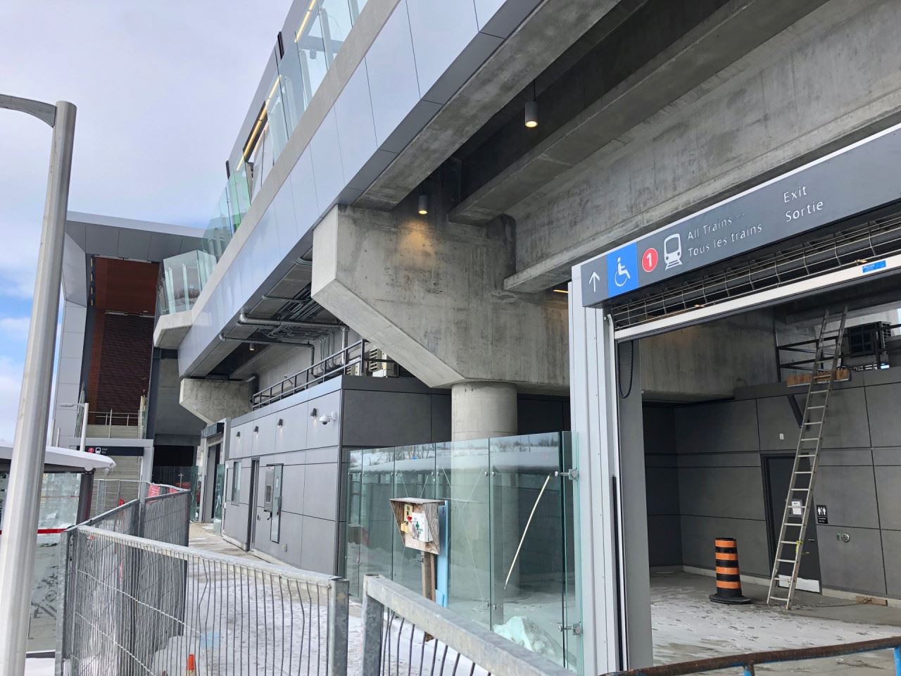
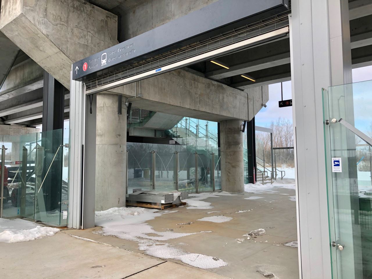
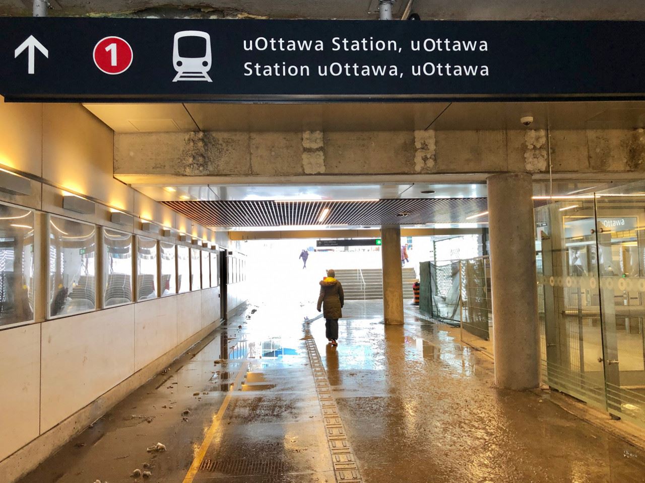
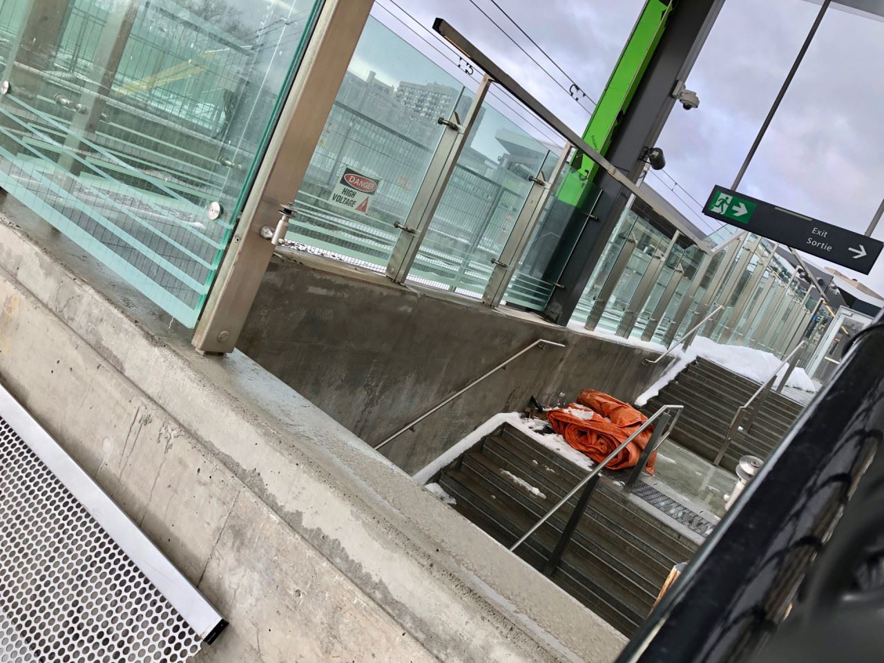
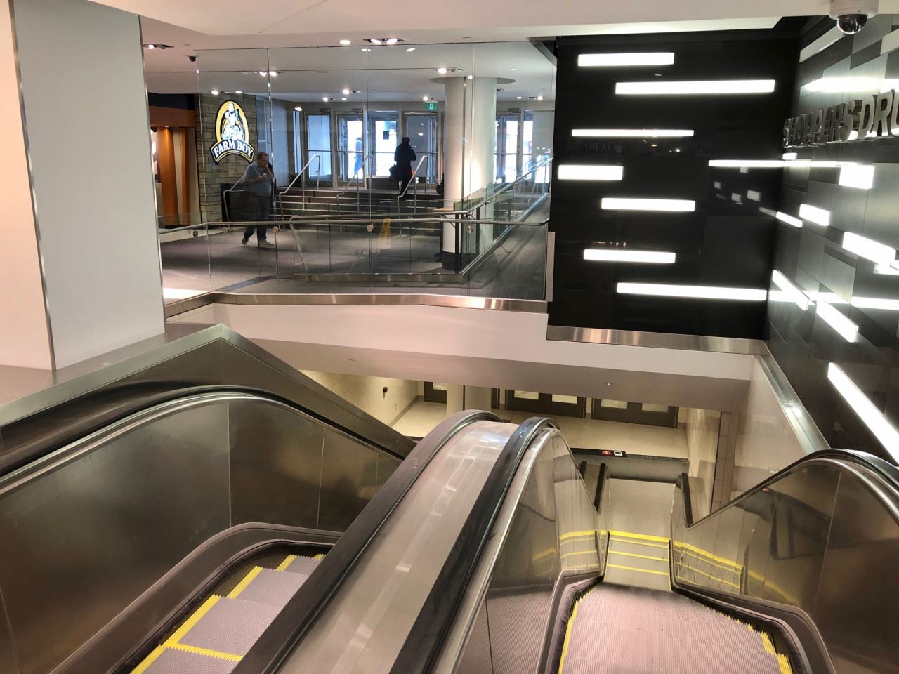
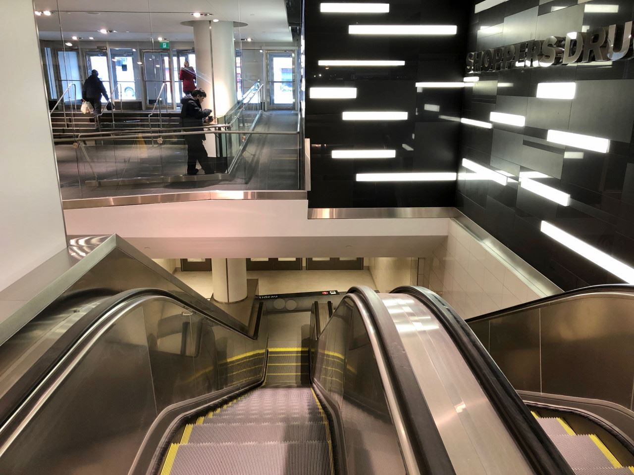
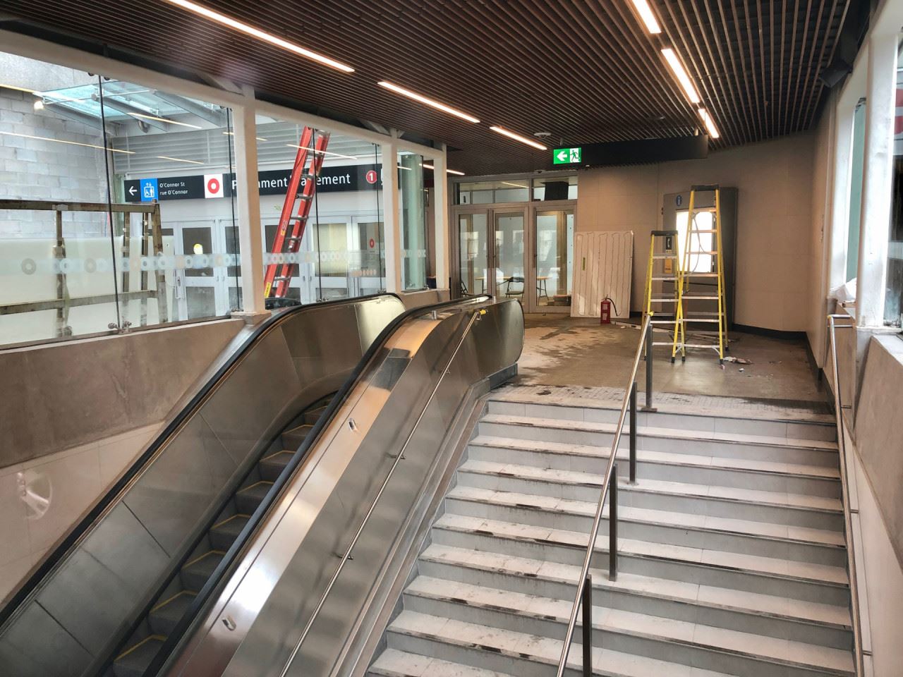
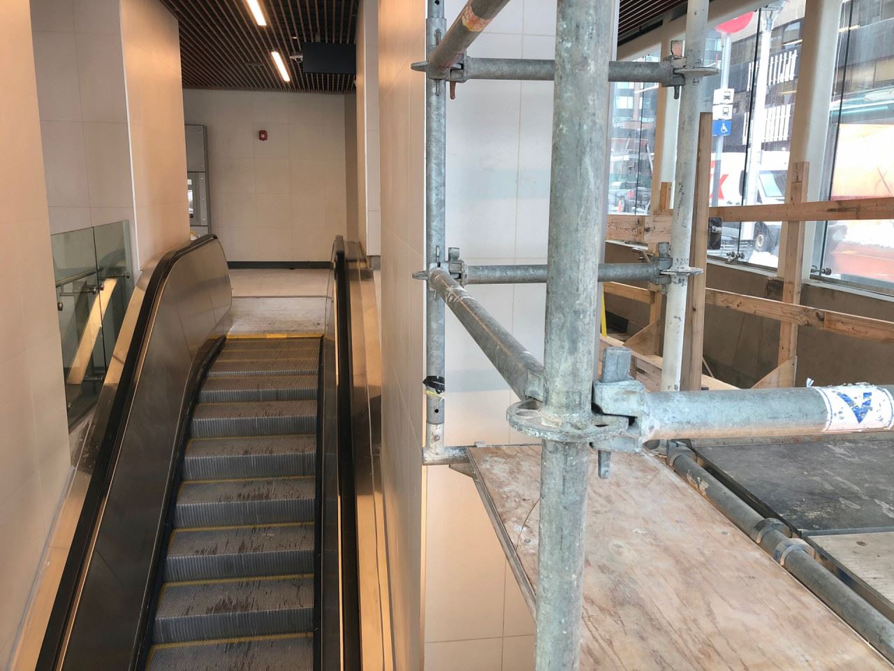
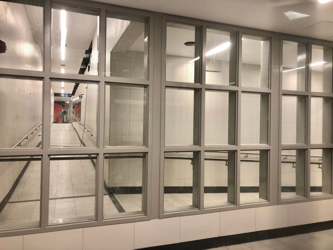
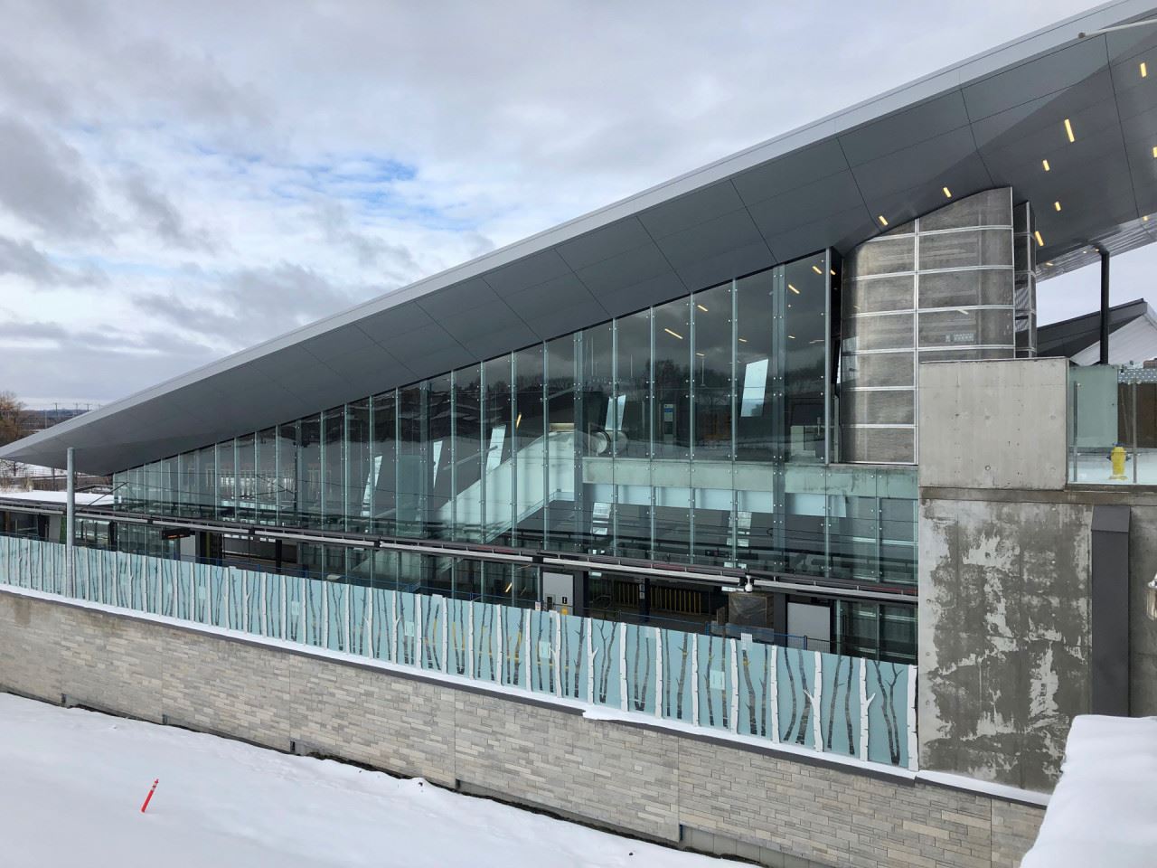
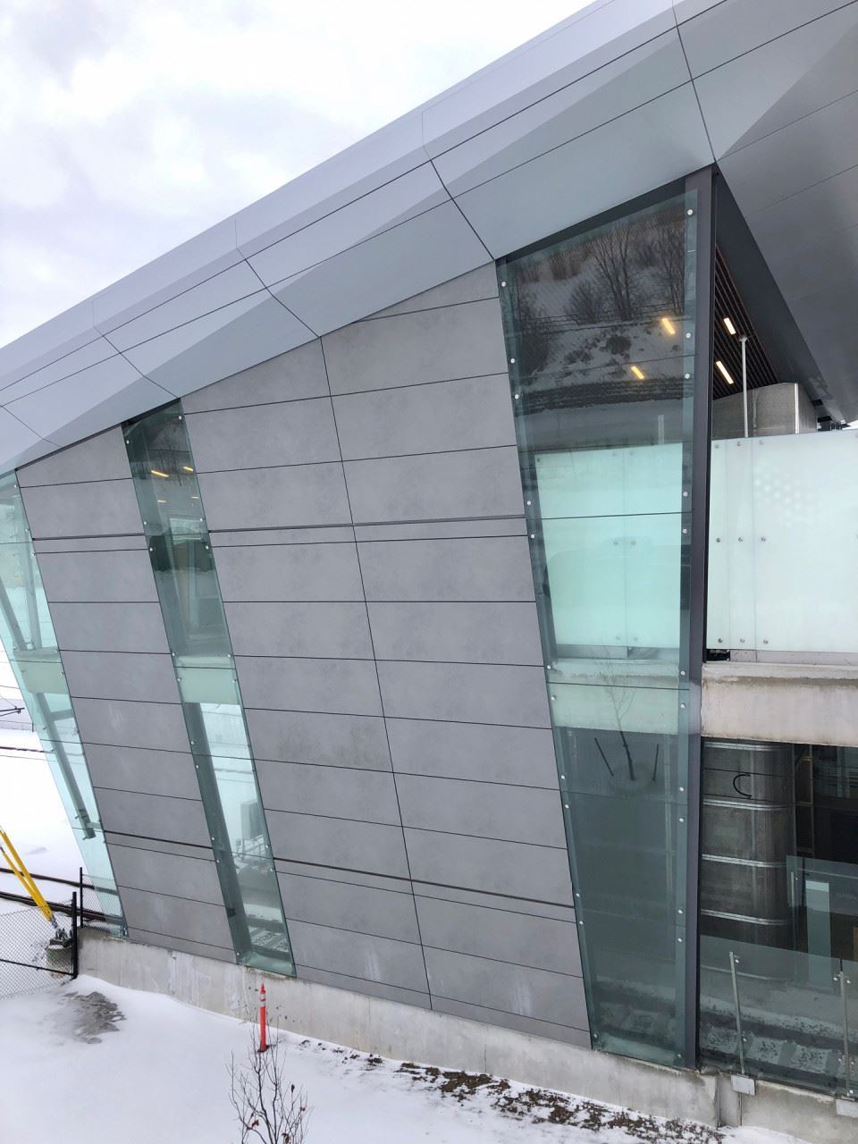
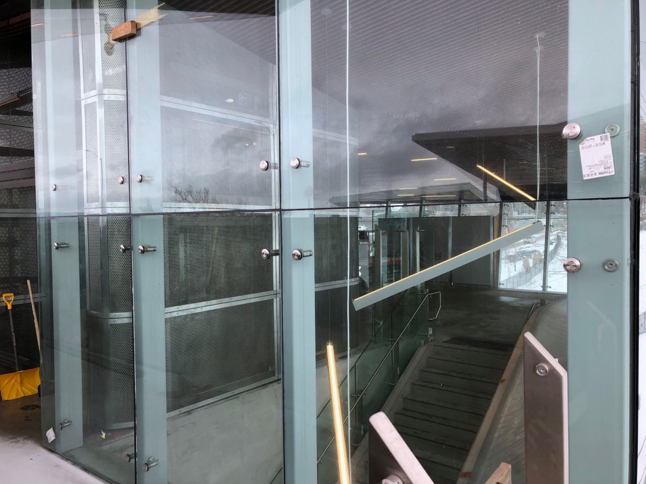
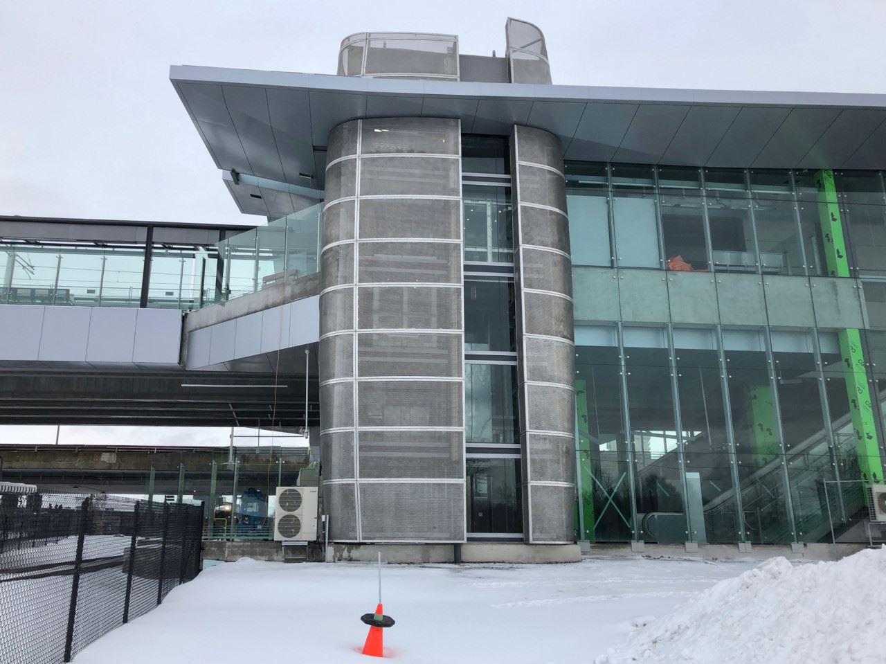
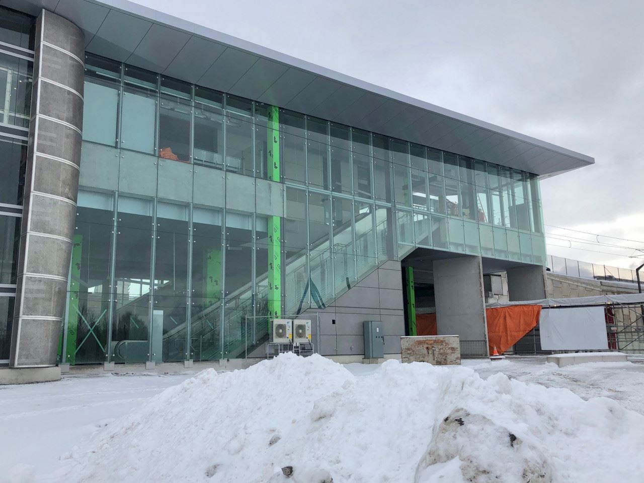
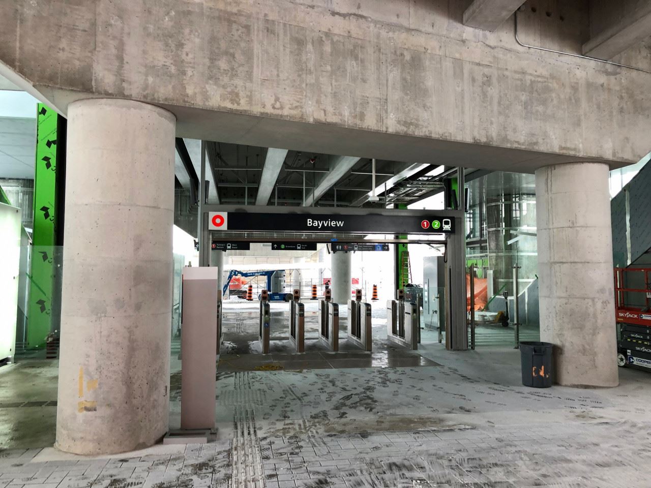
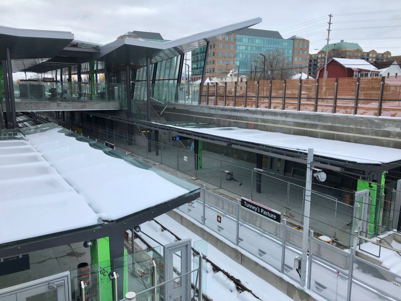
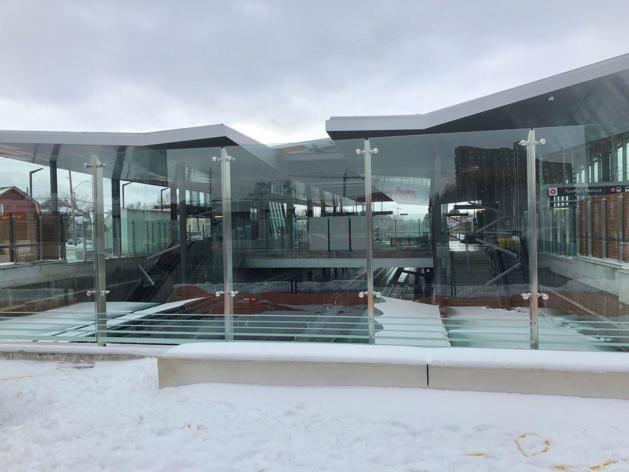
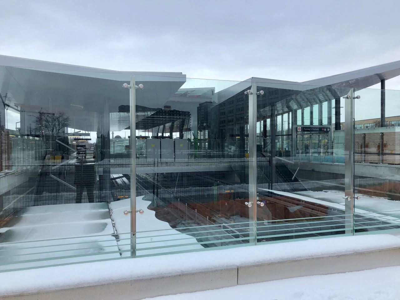
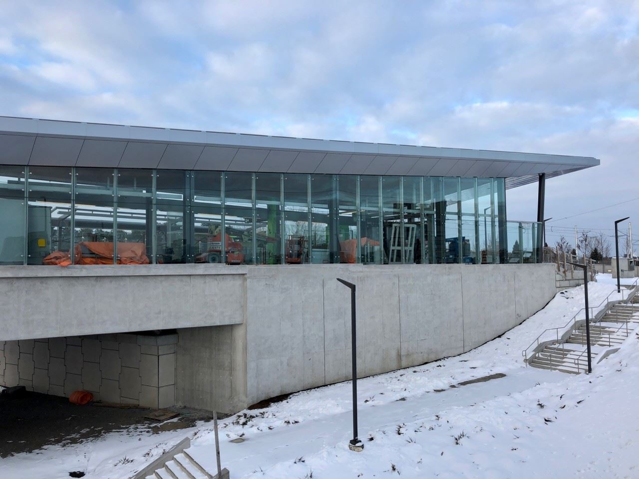
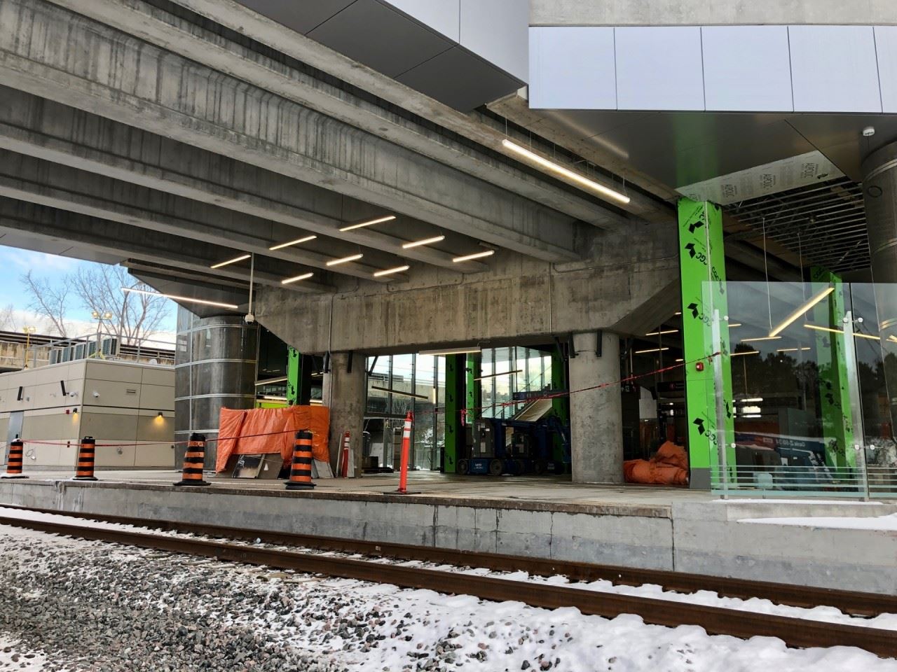
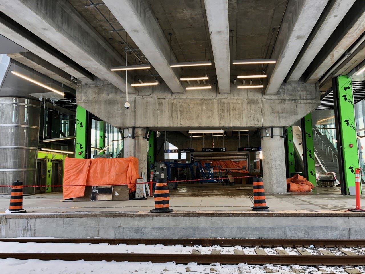
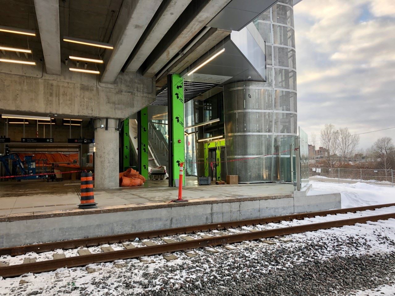
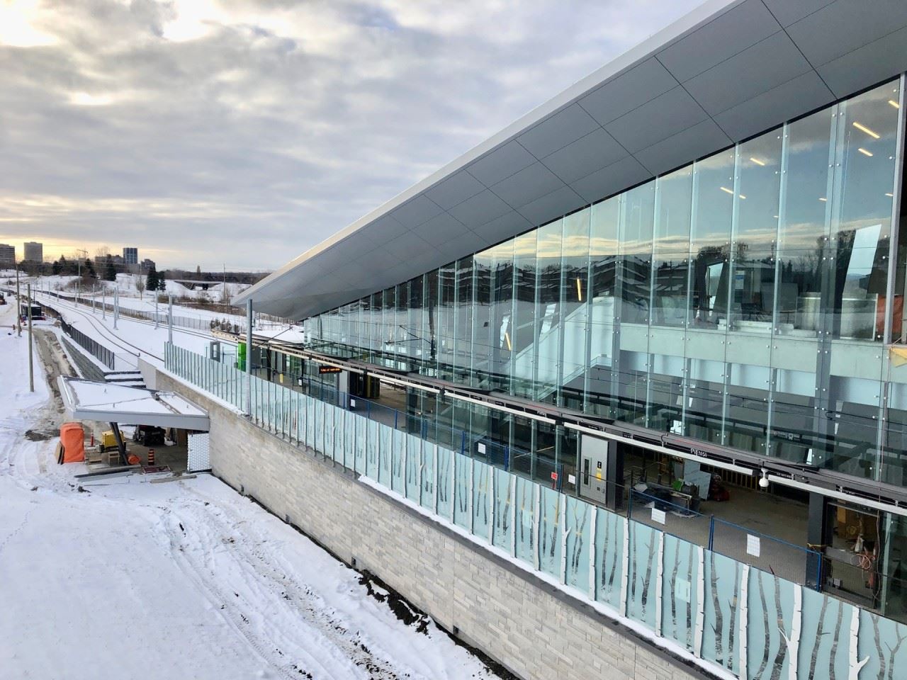
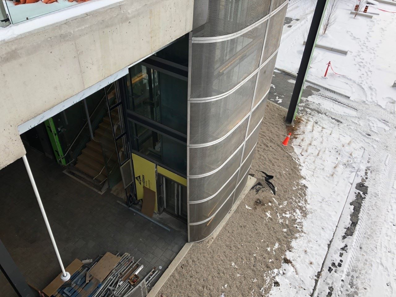
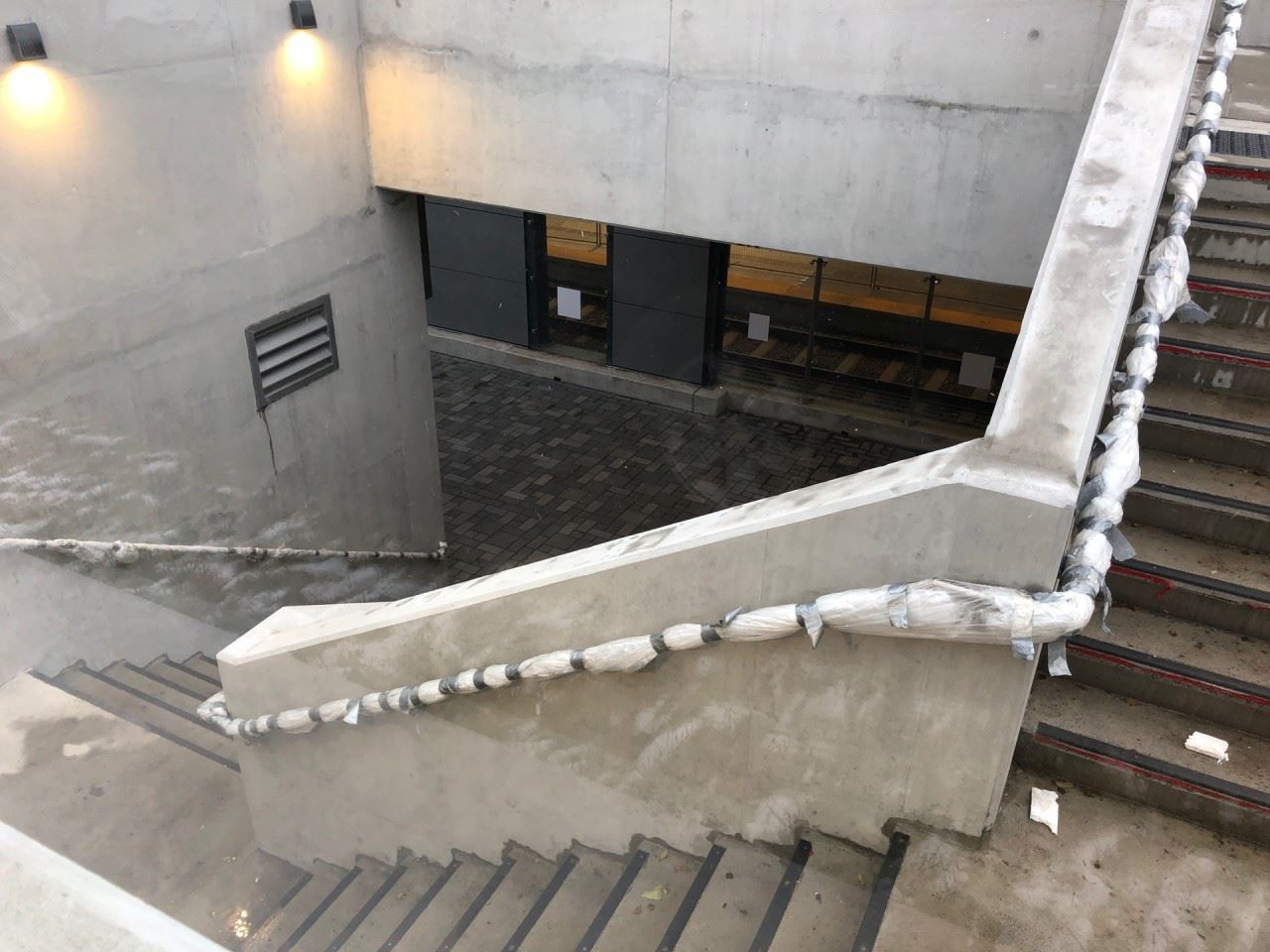
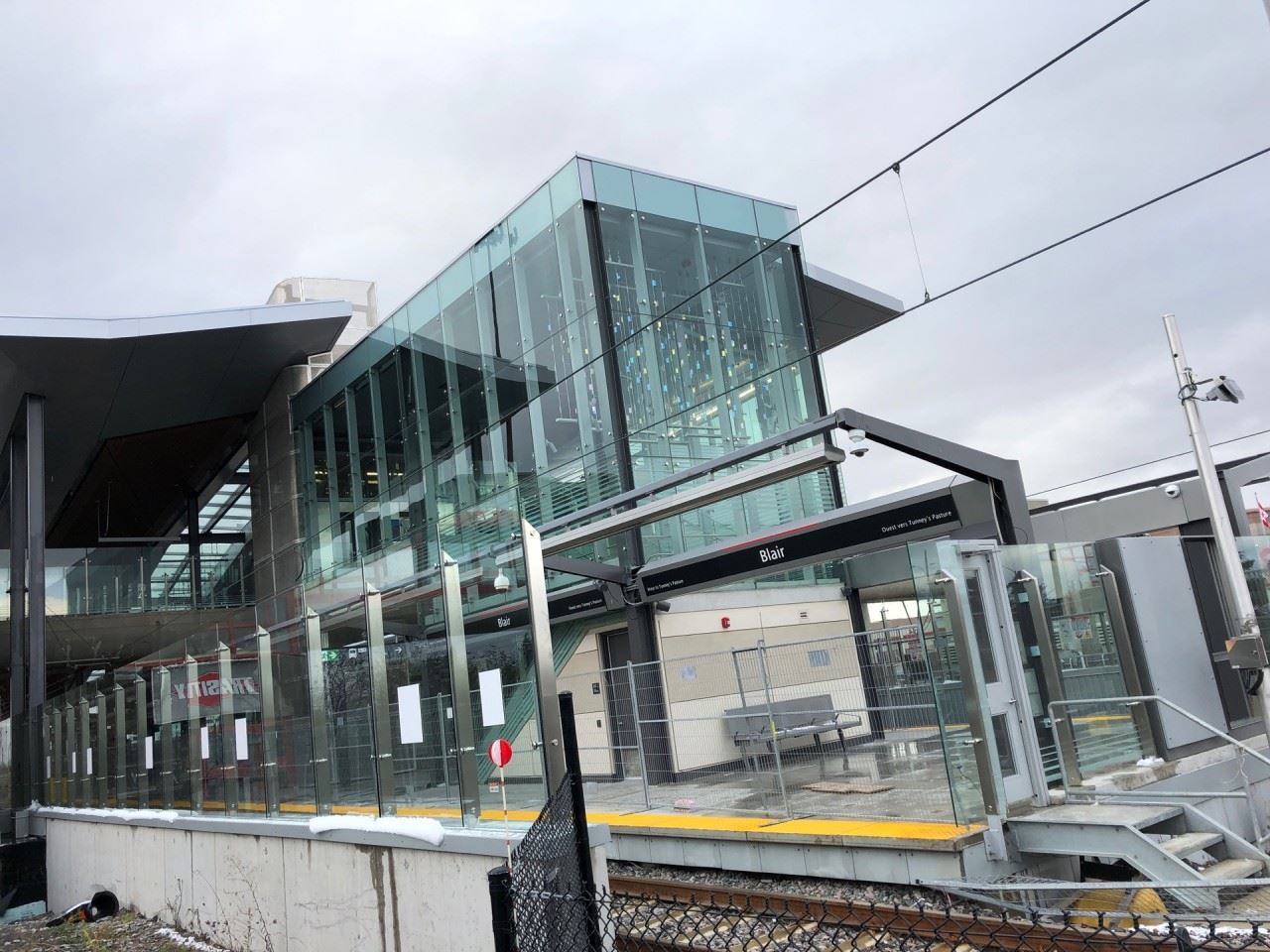
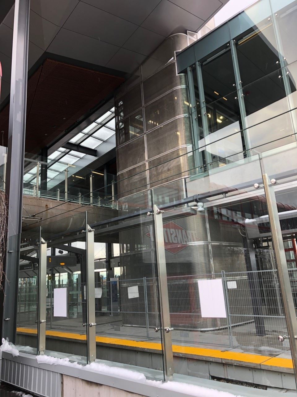
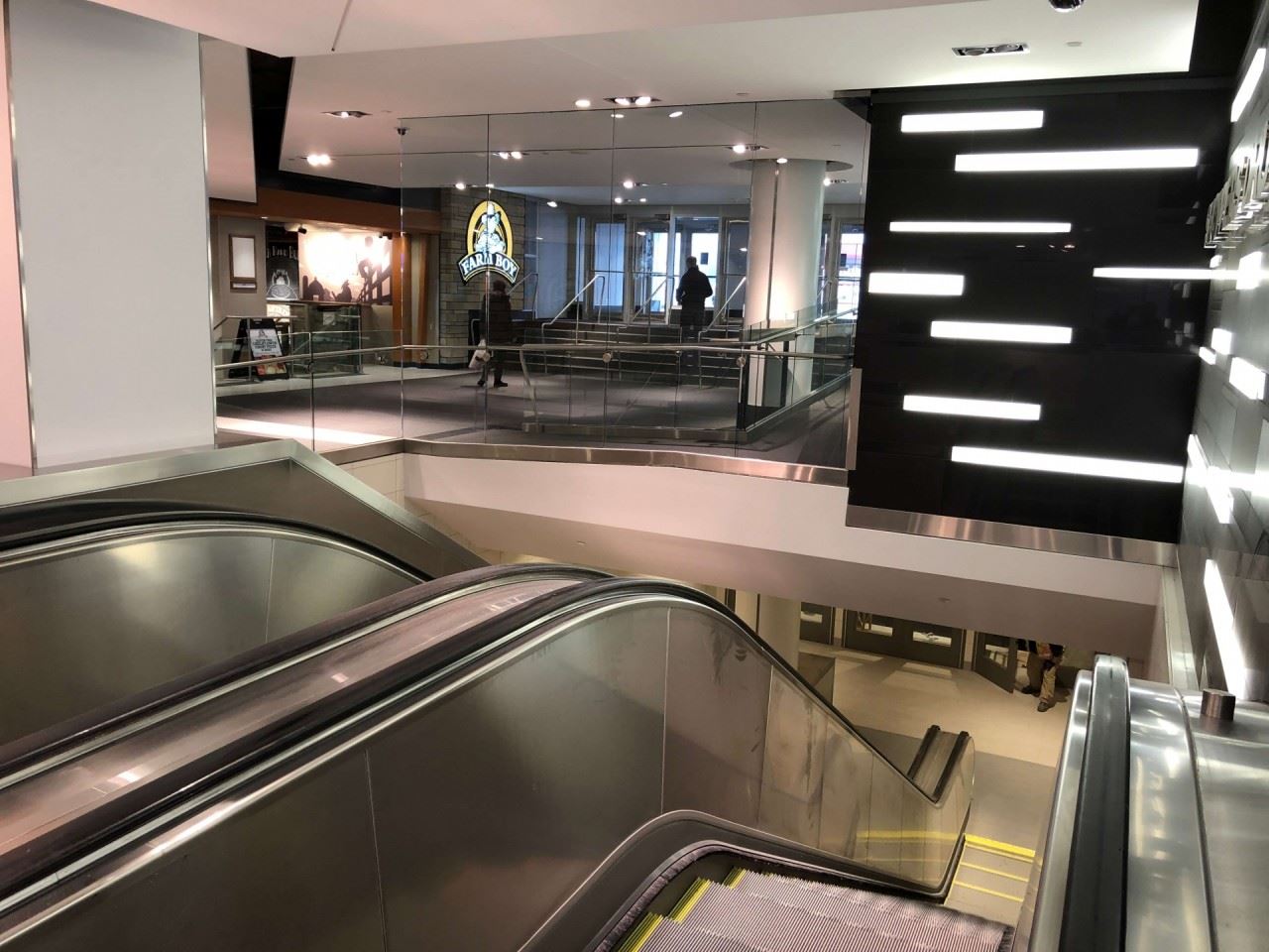
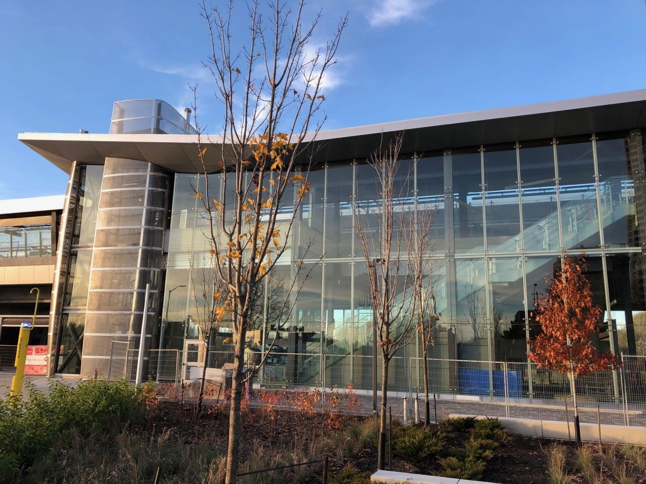
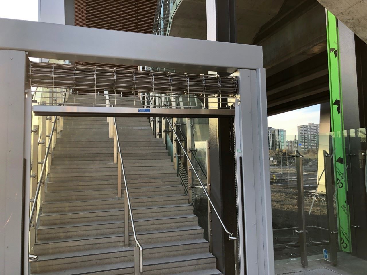
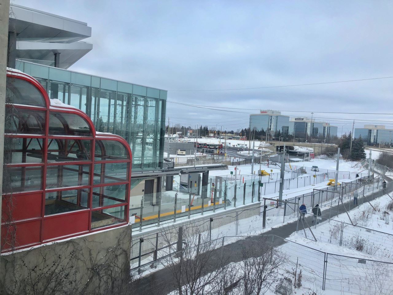
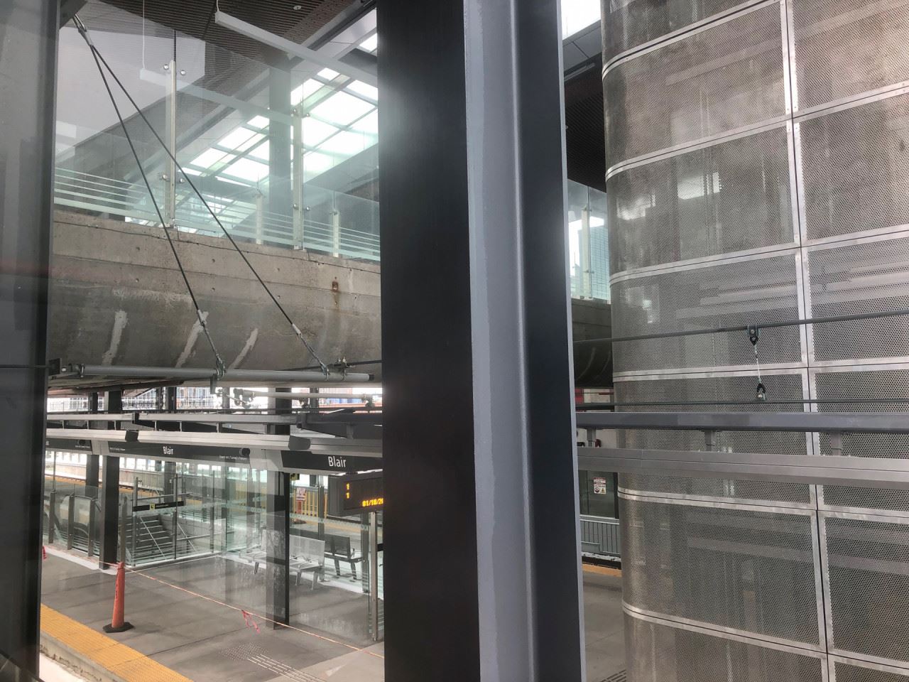
Looking down towards the platform level. Notice the stairs and escalator that lead to the lower level, providing access to the bus platforms.
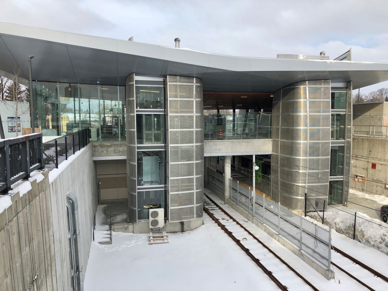
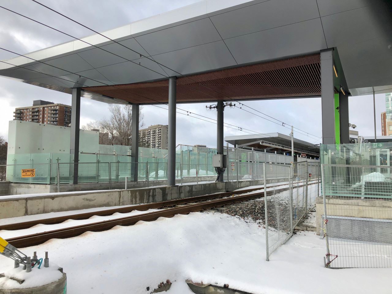
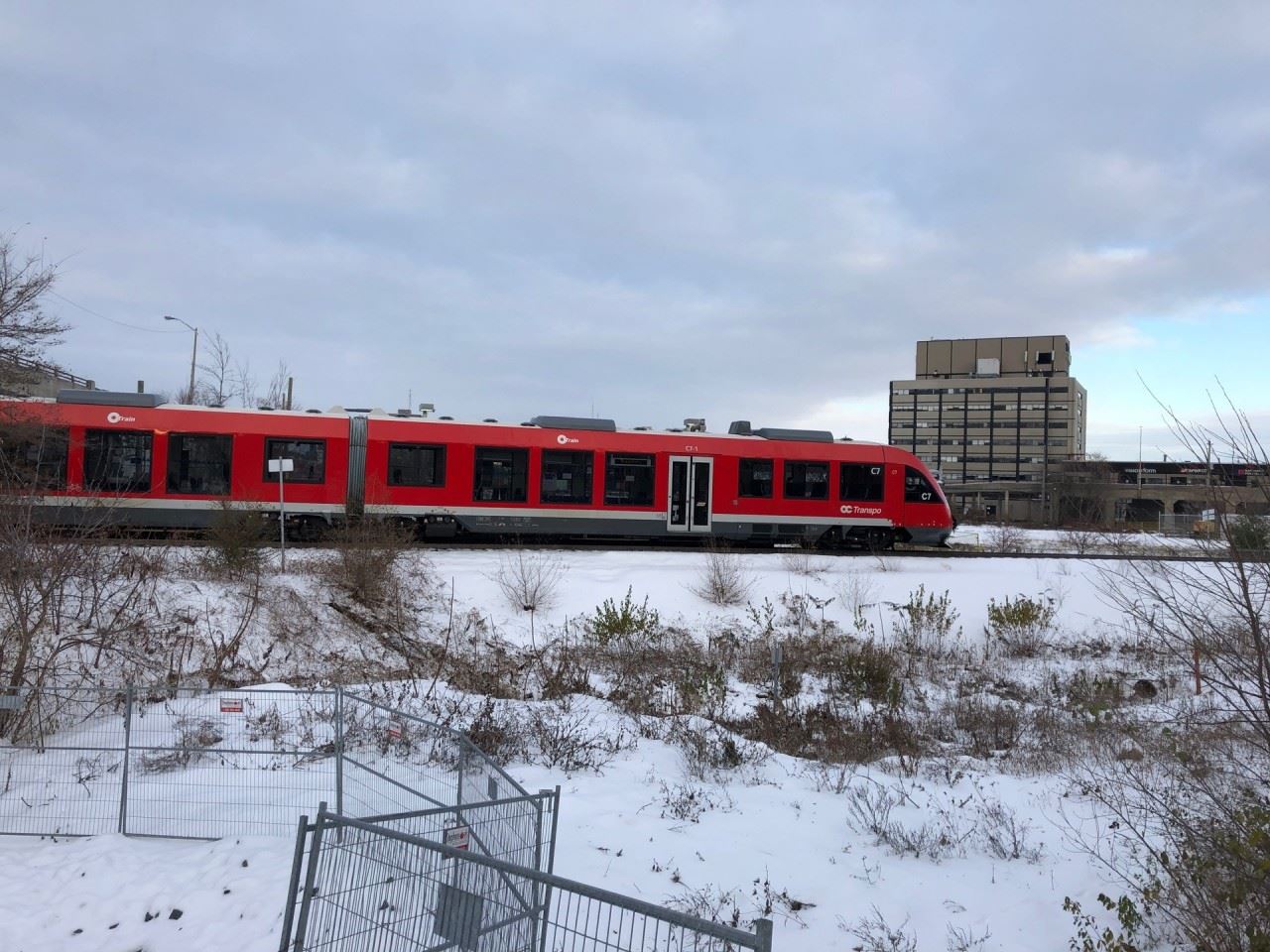
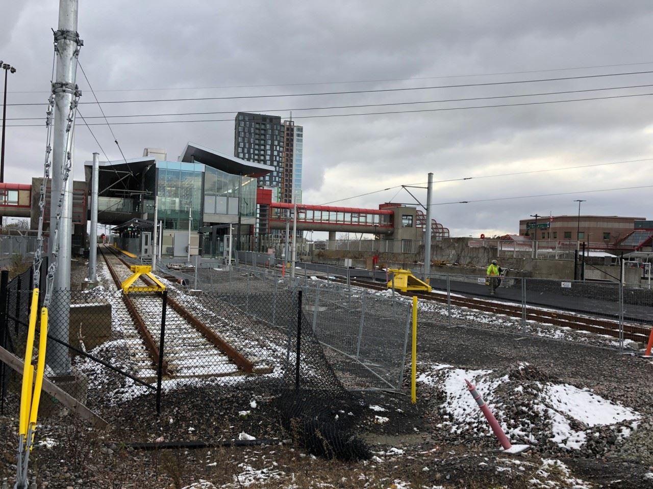
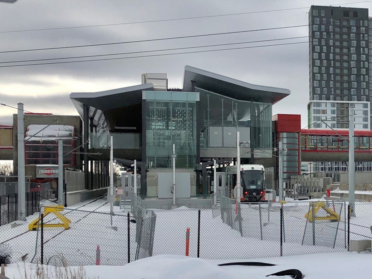
An LRV stopped inside the station.
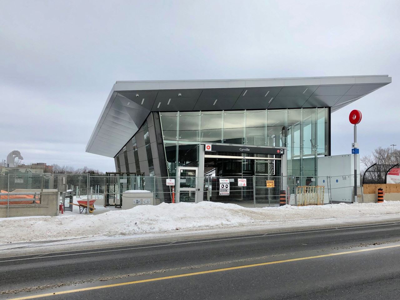
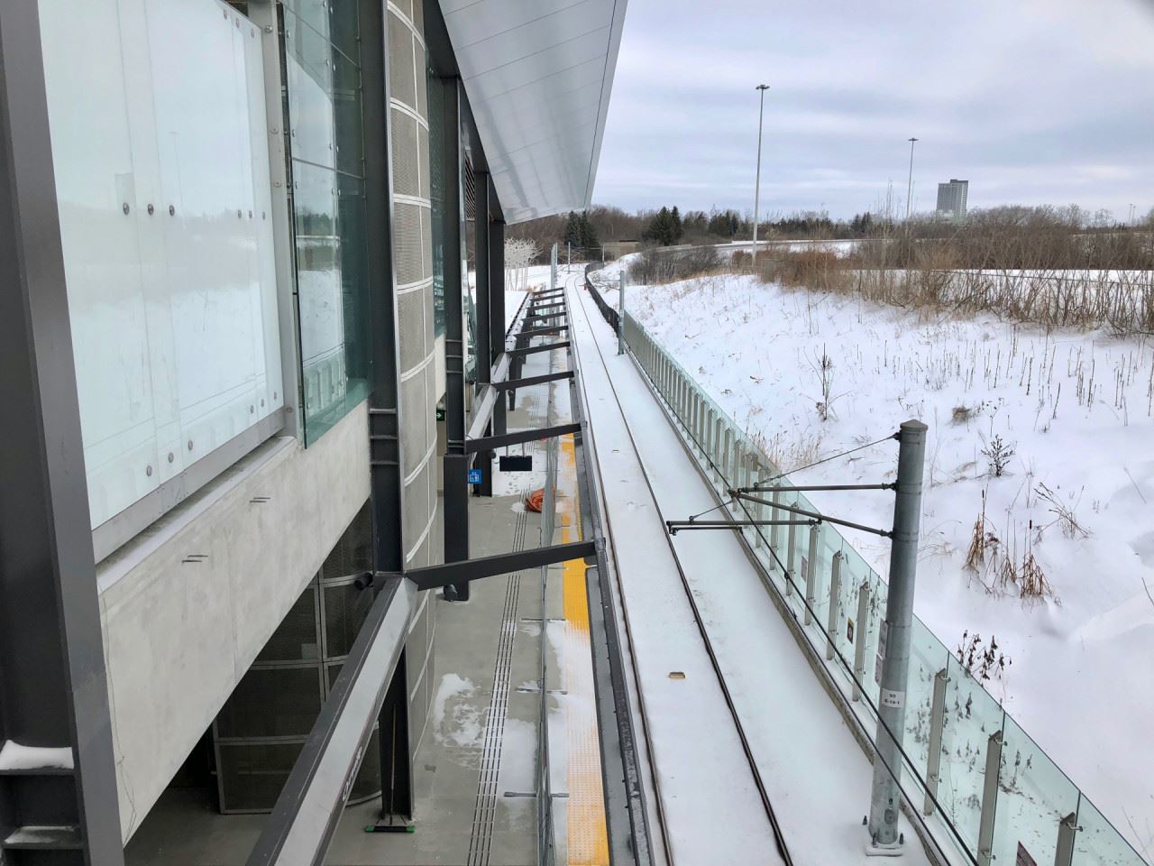
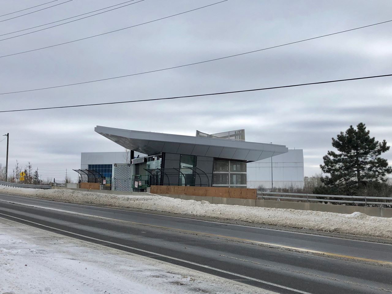
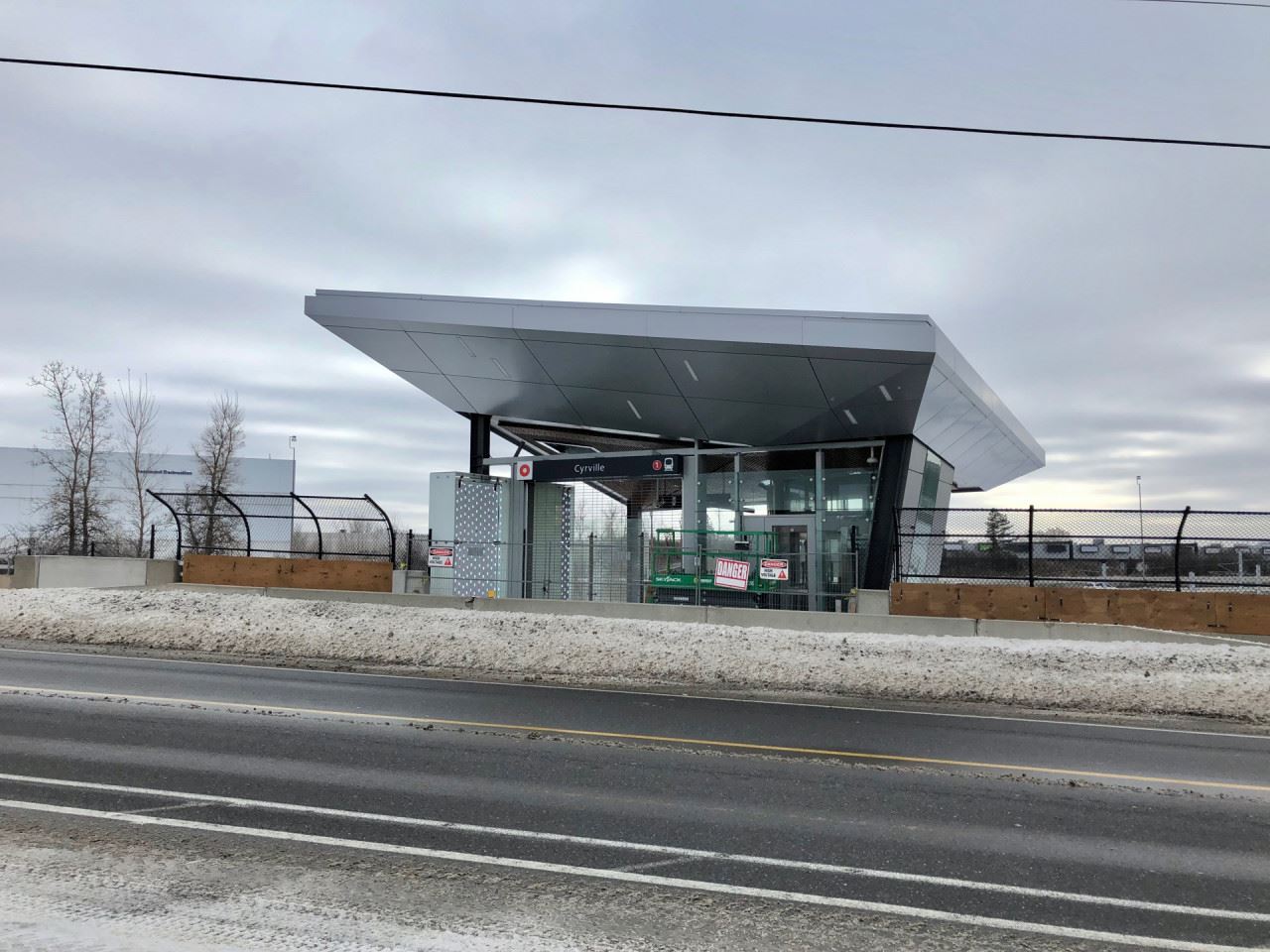
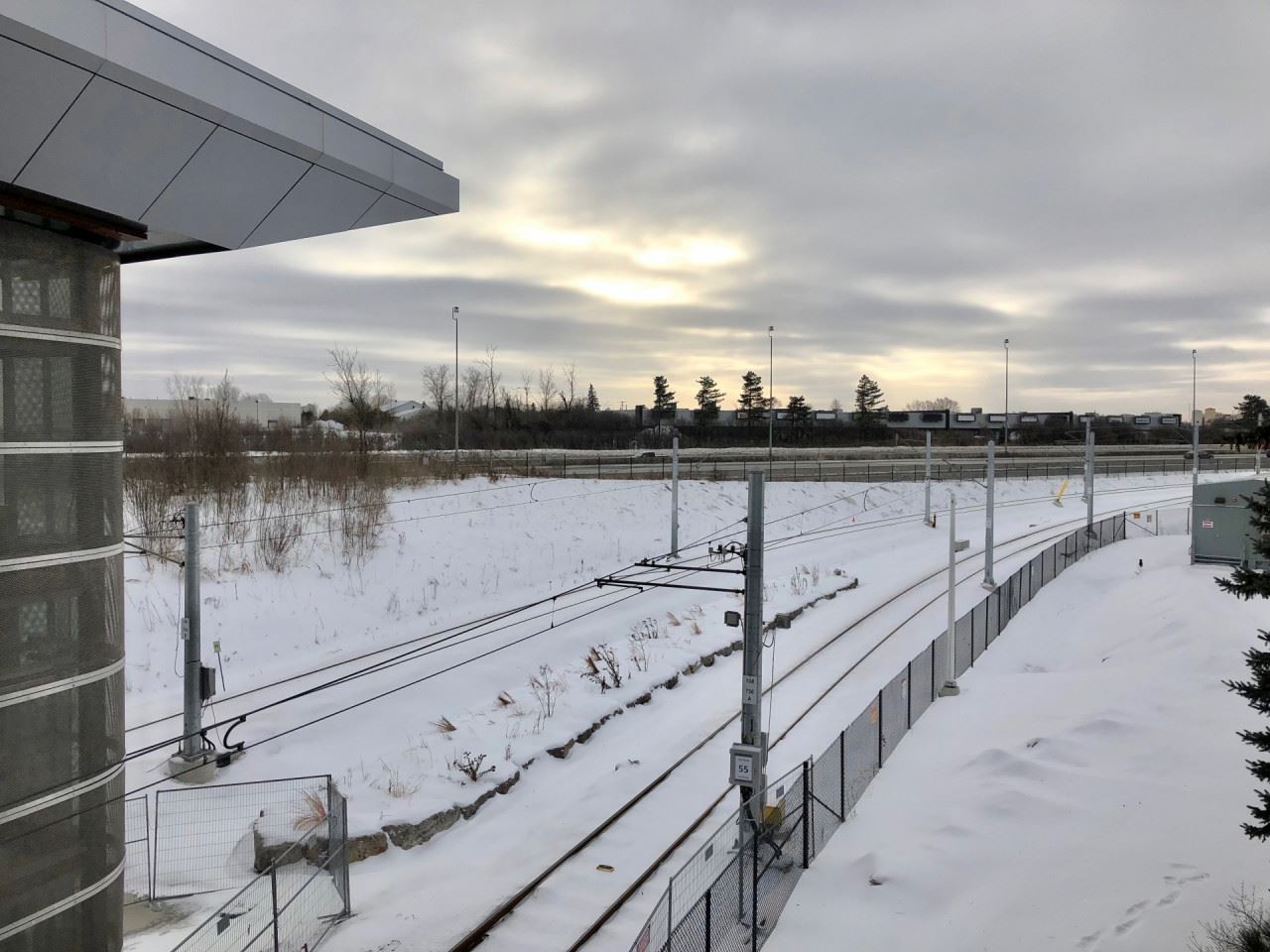
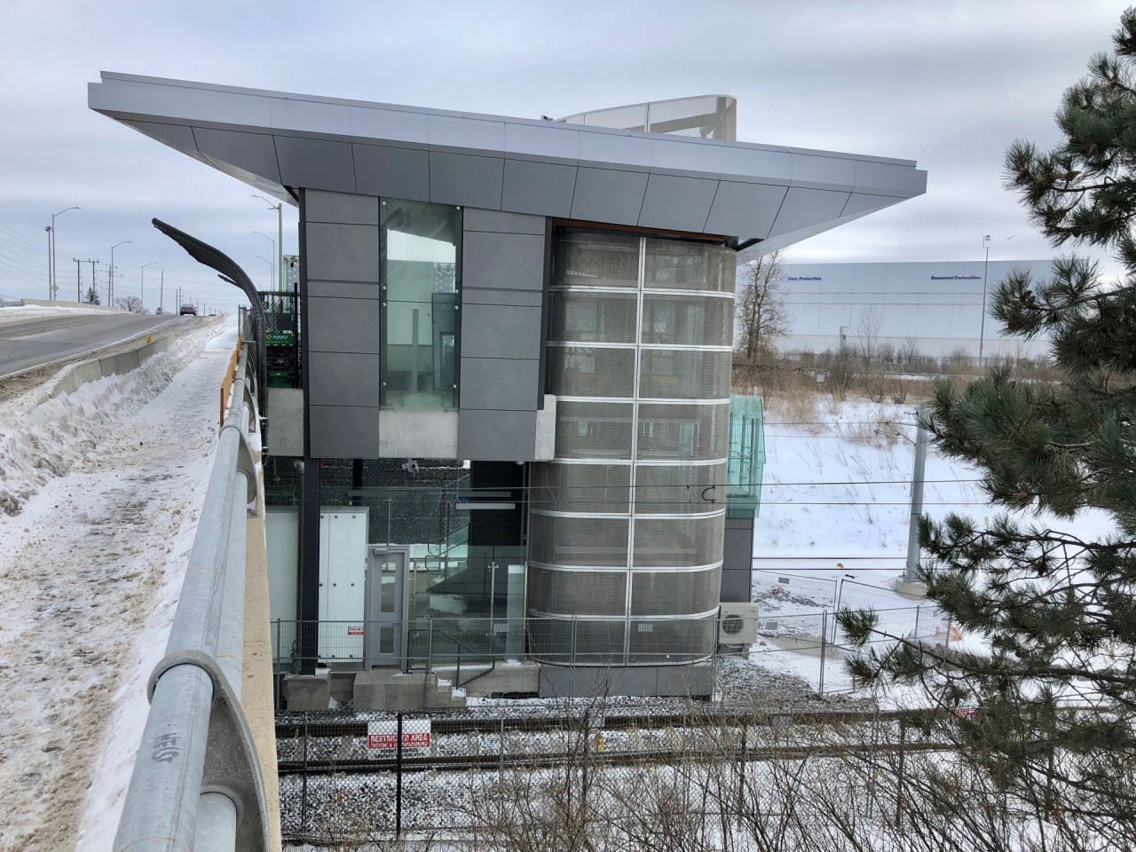
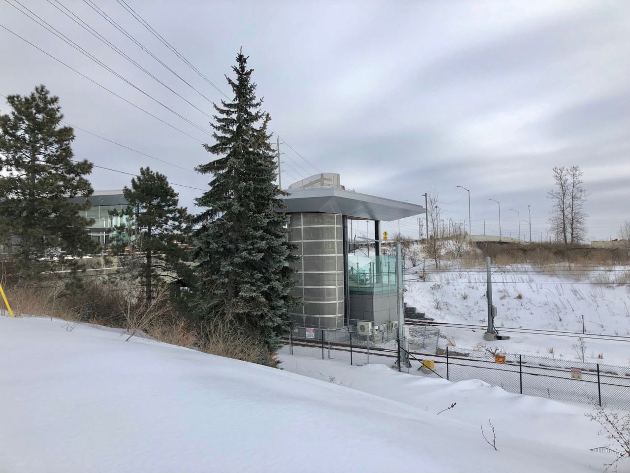
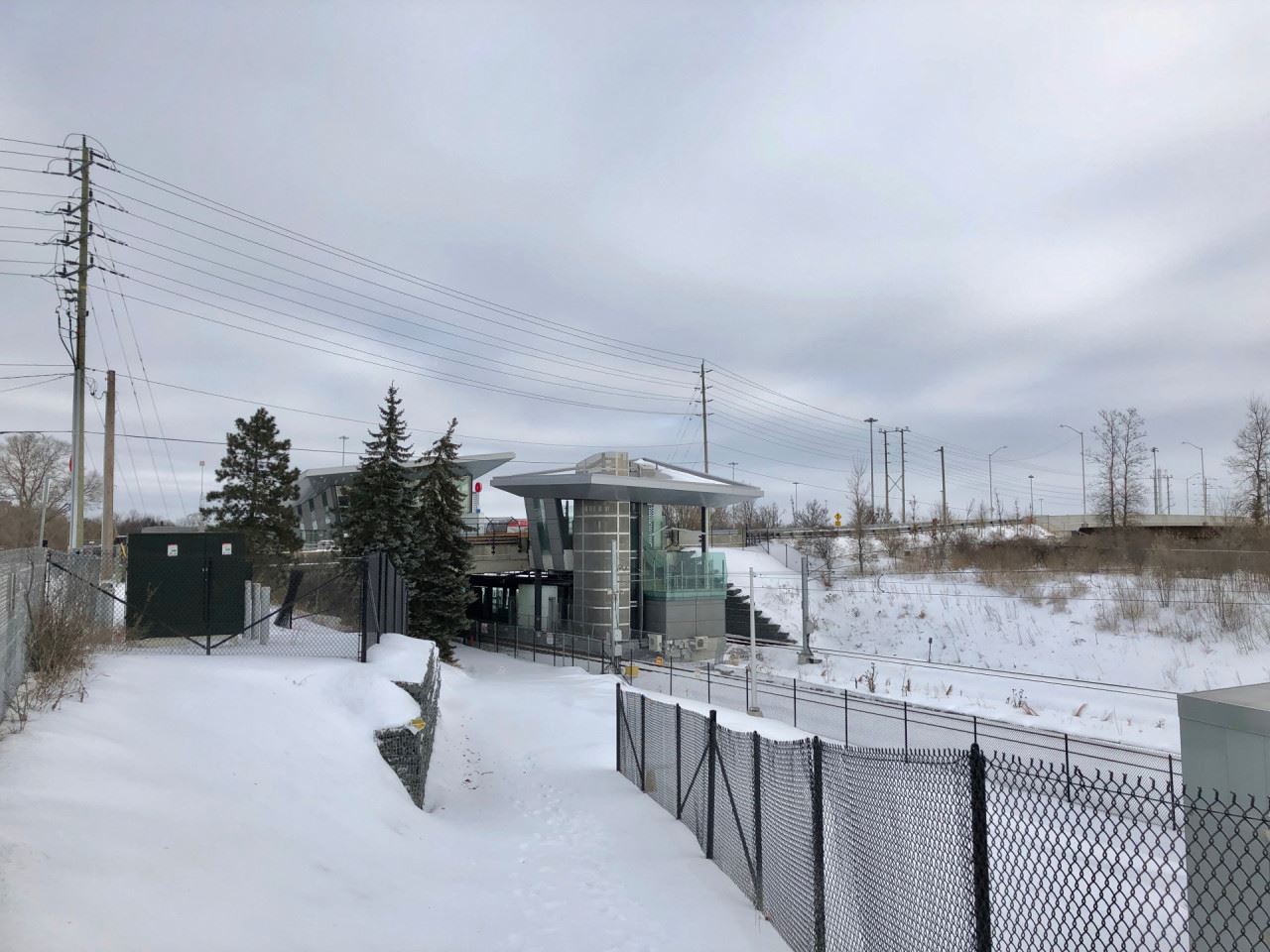
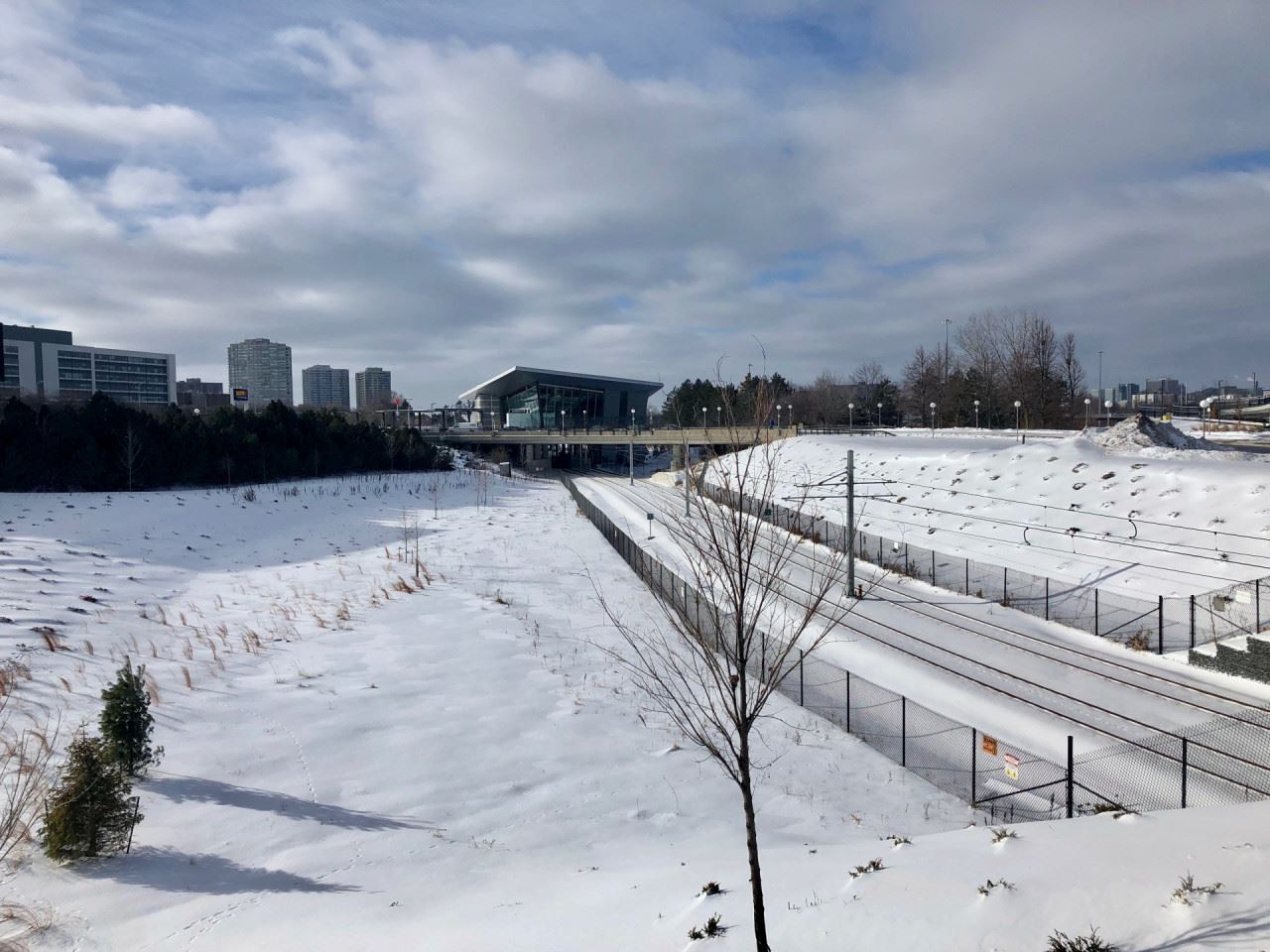
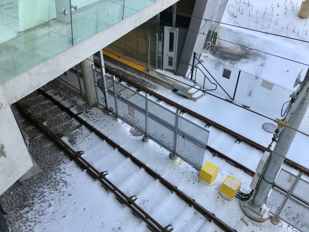
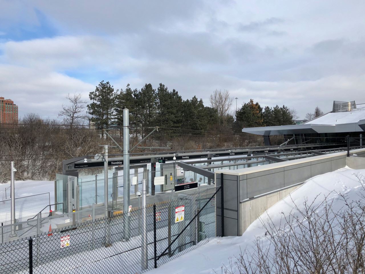
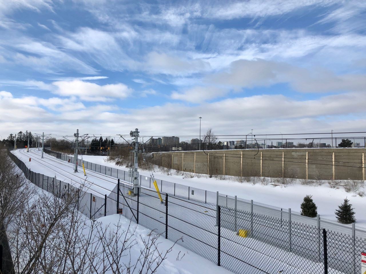
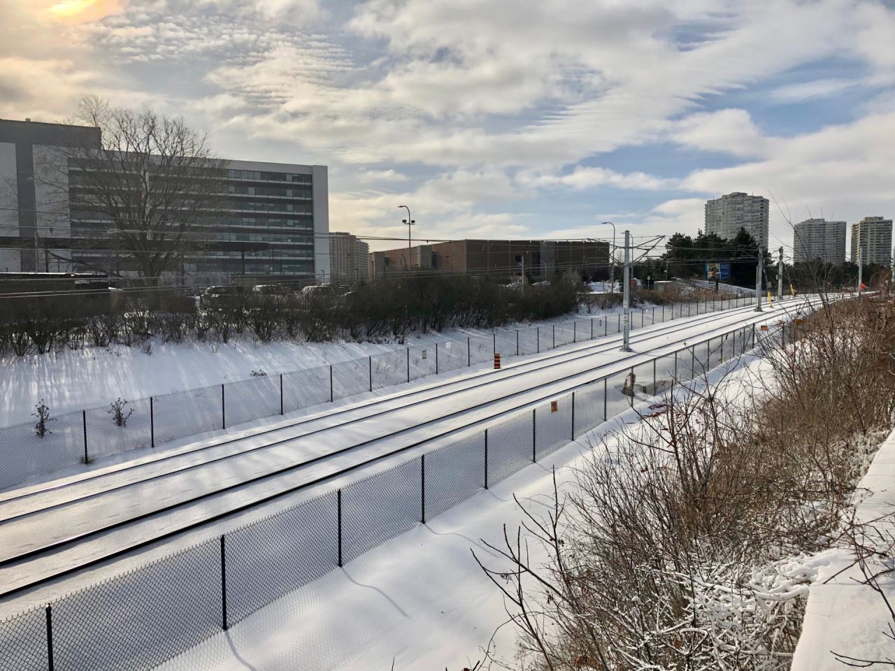
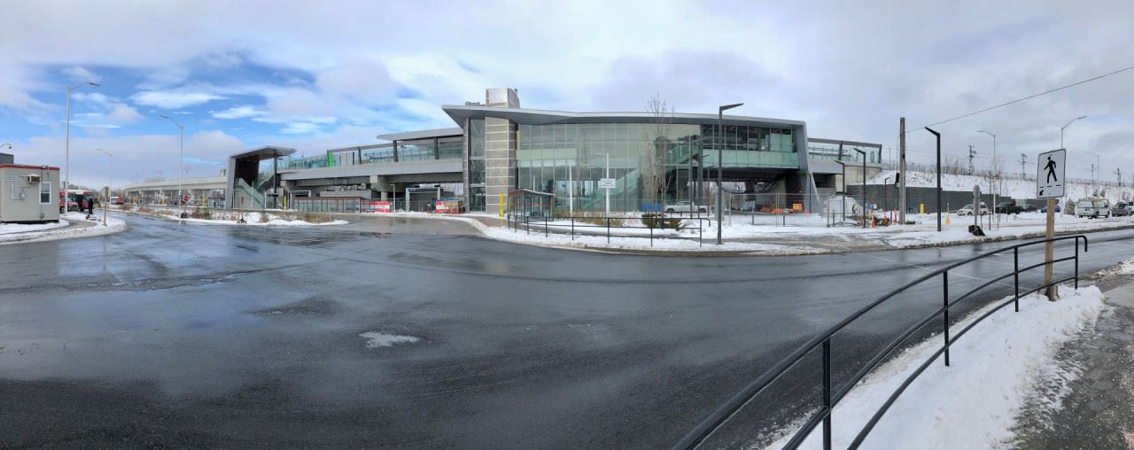
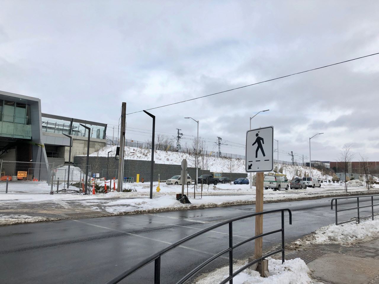
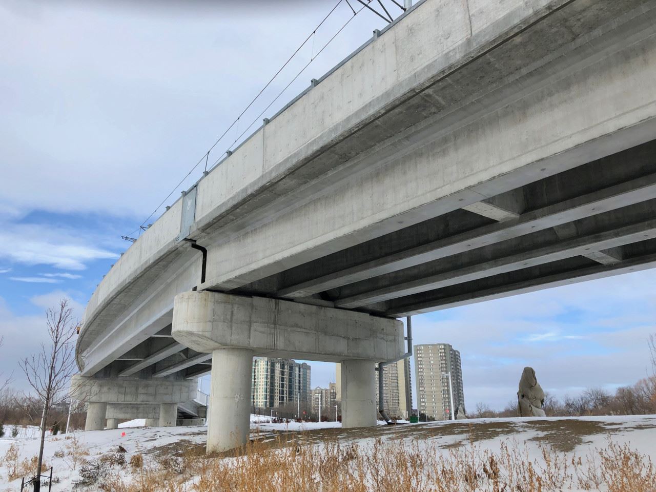
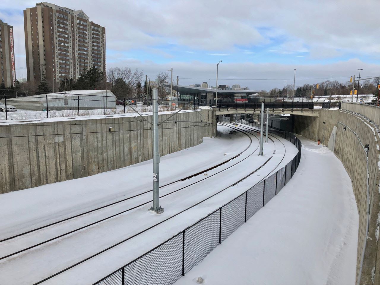
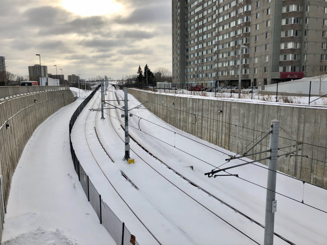
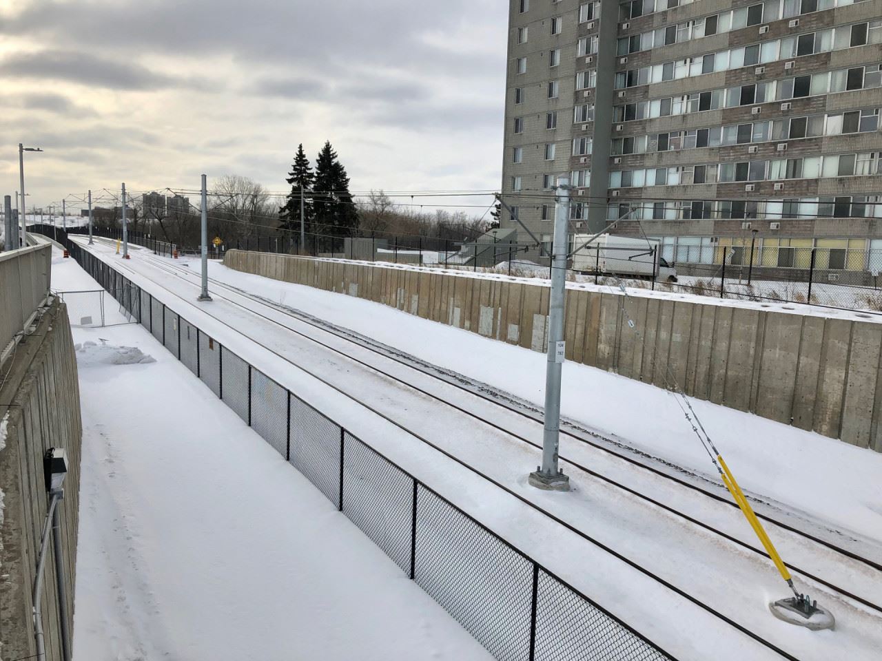
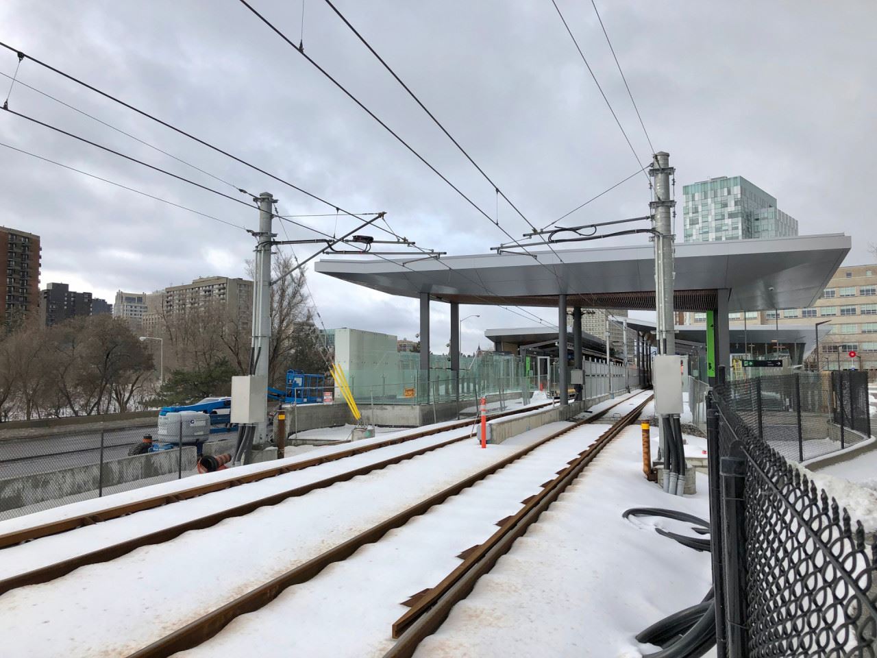
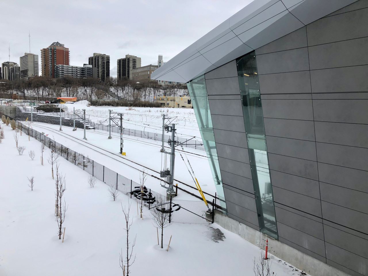
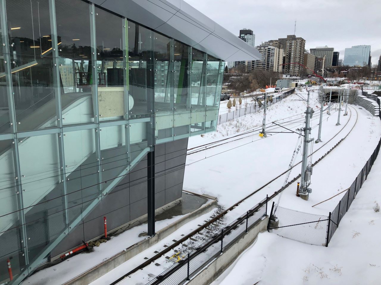
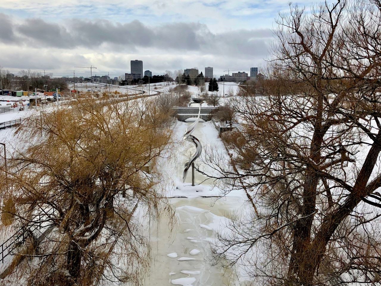
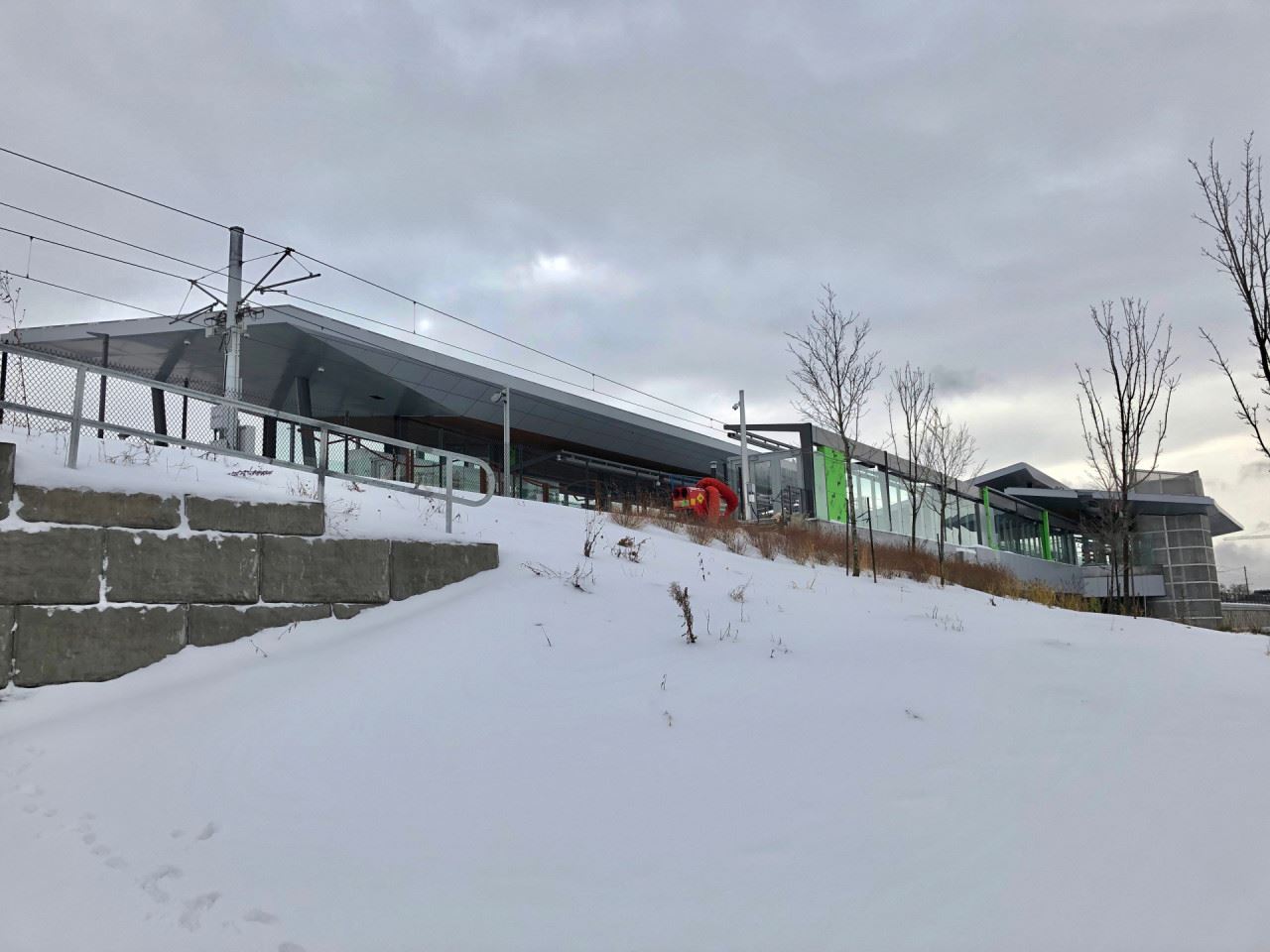
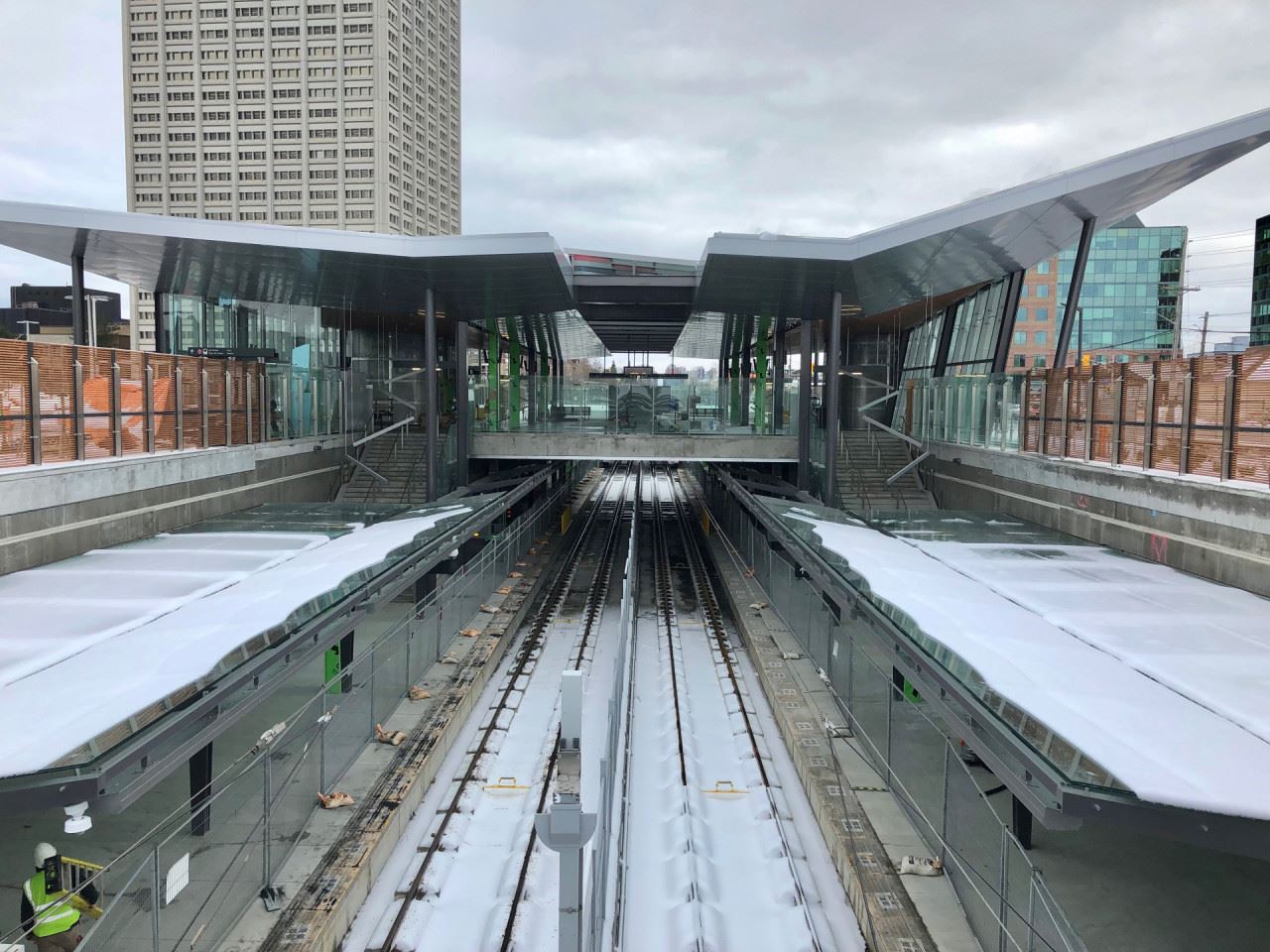
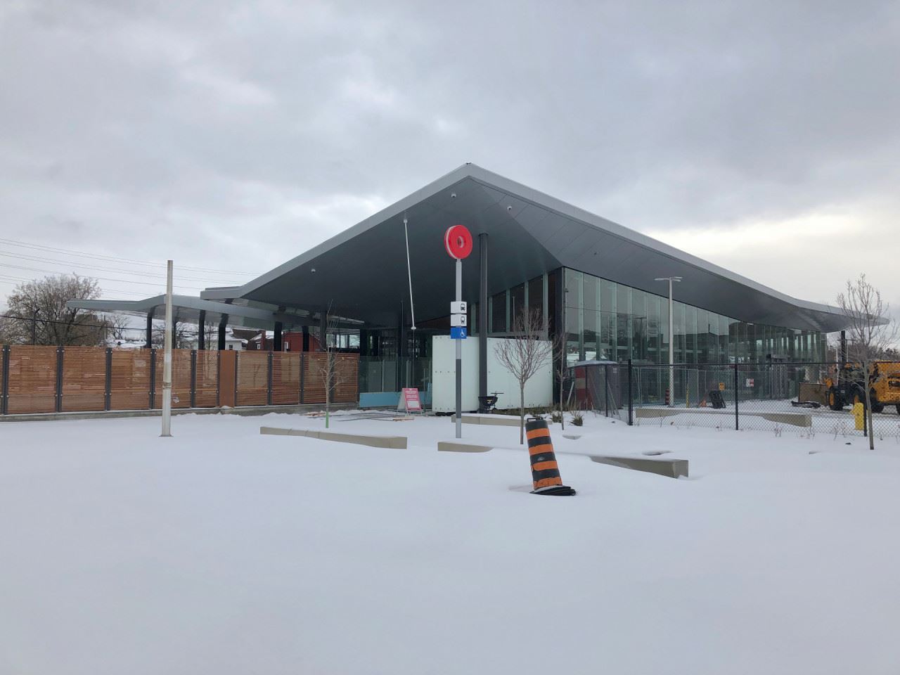
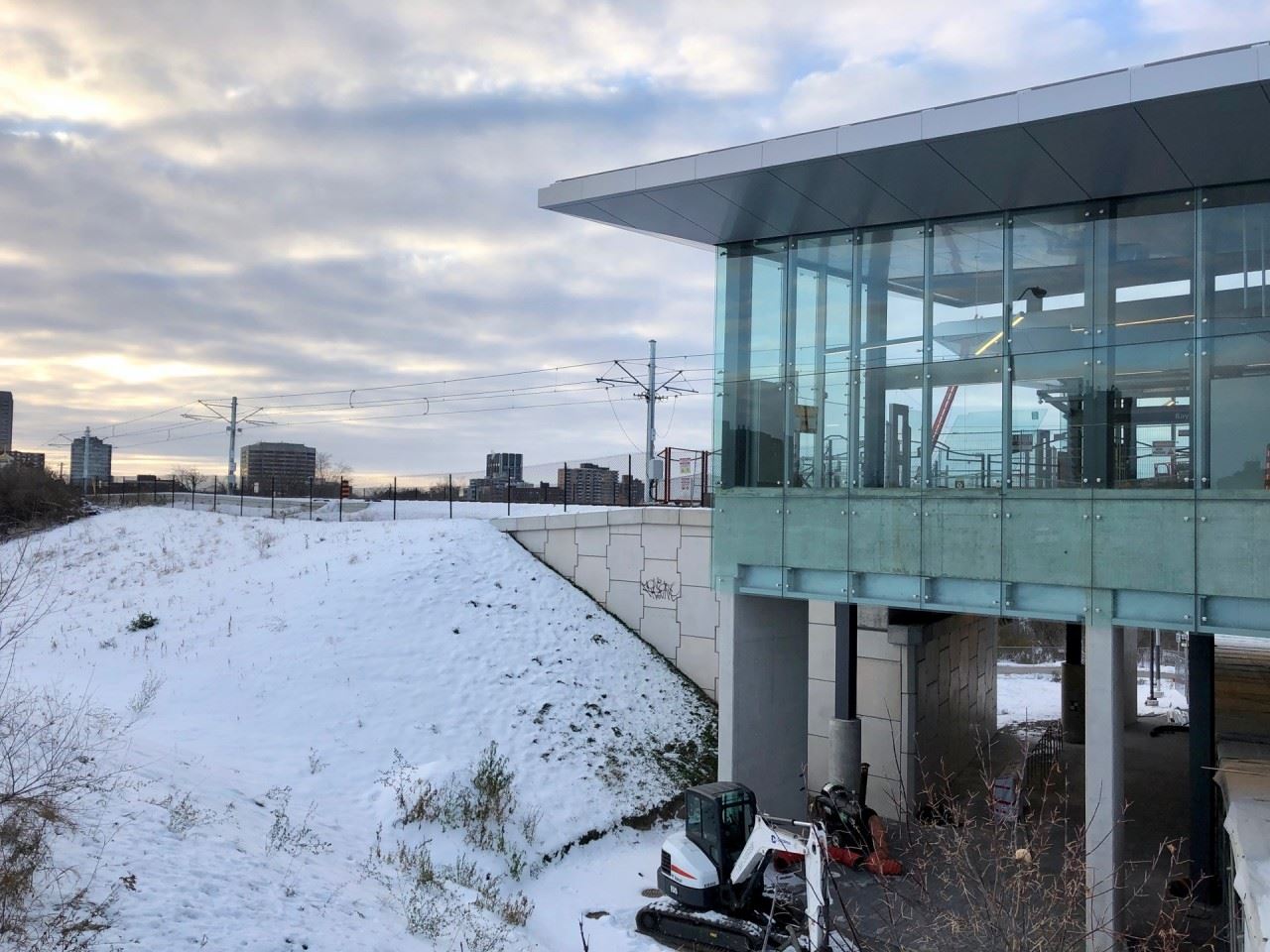
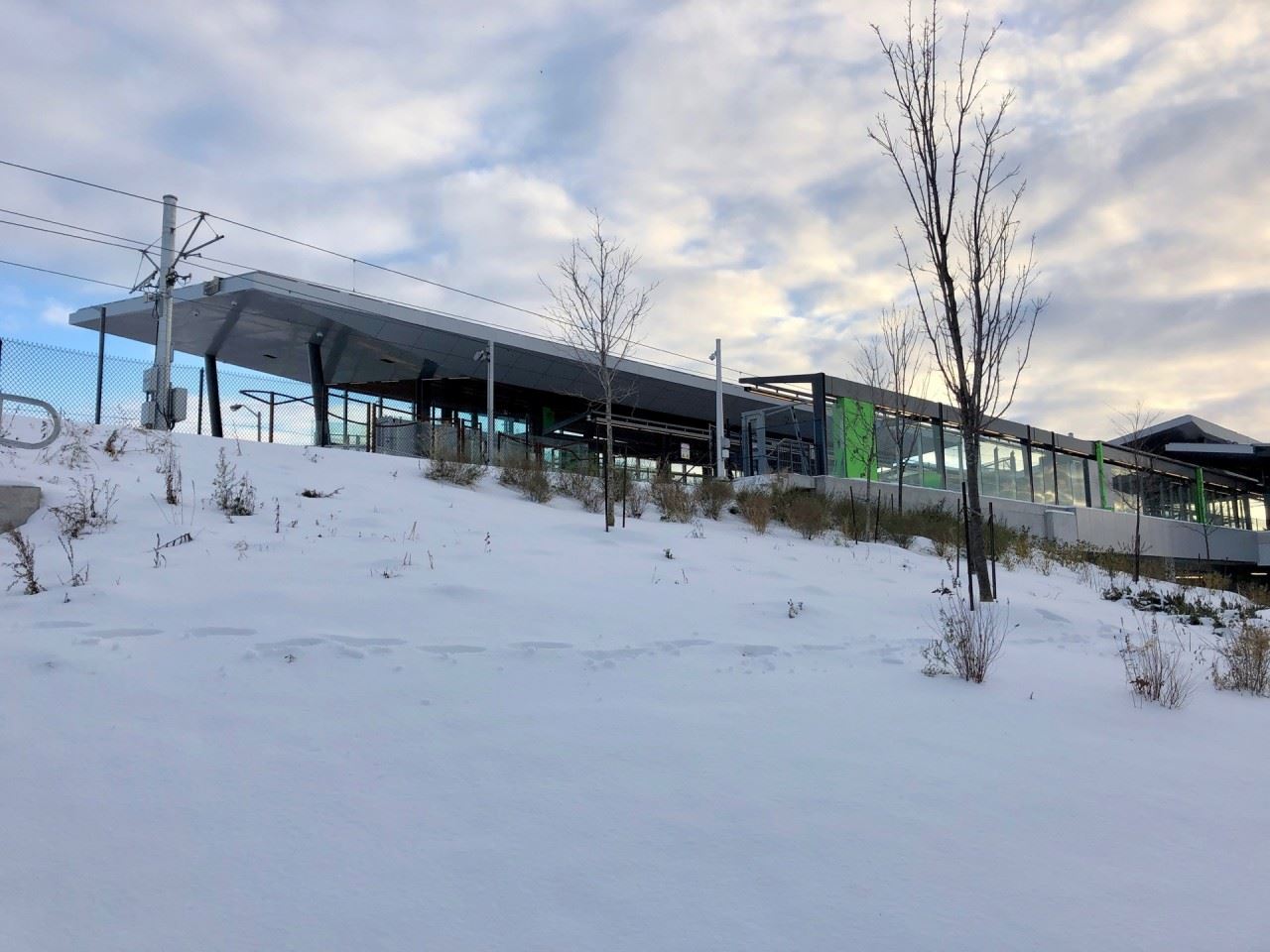
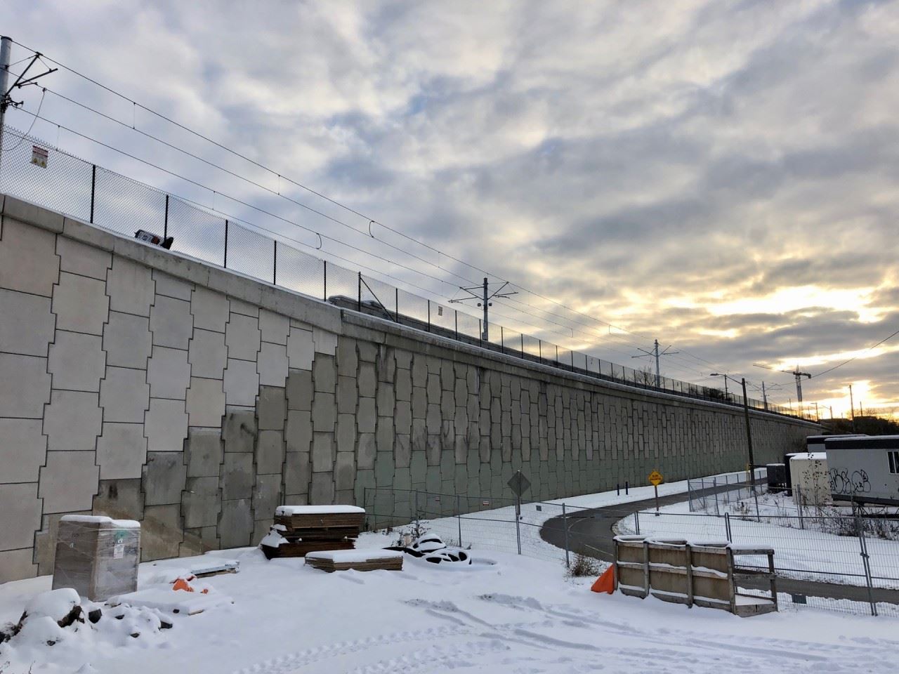
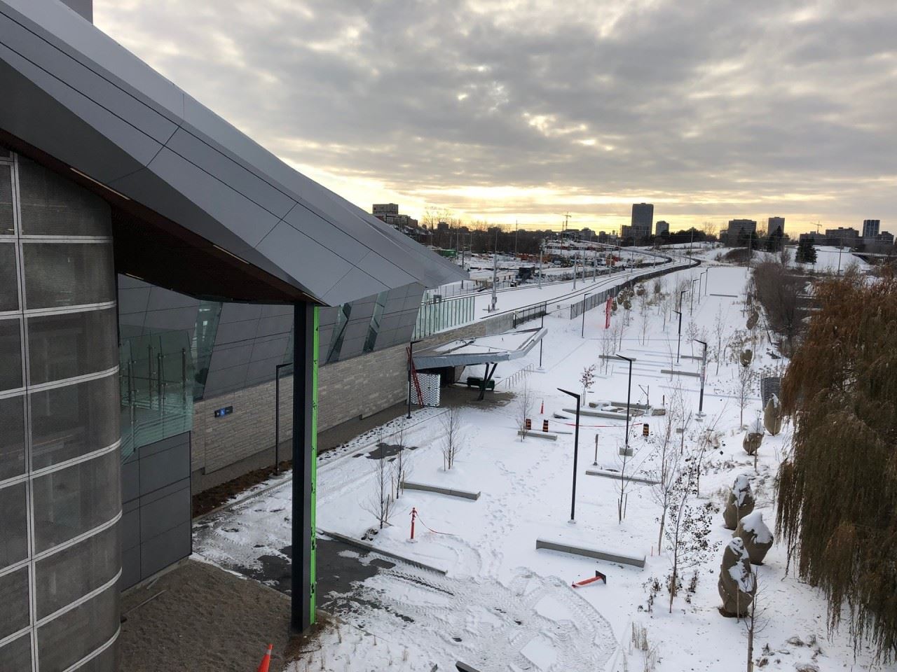
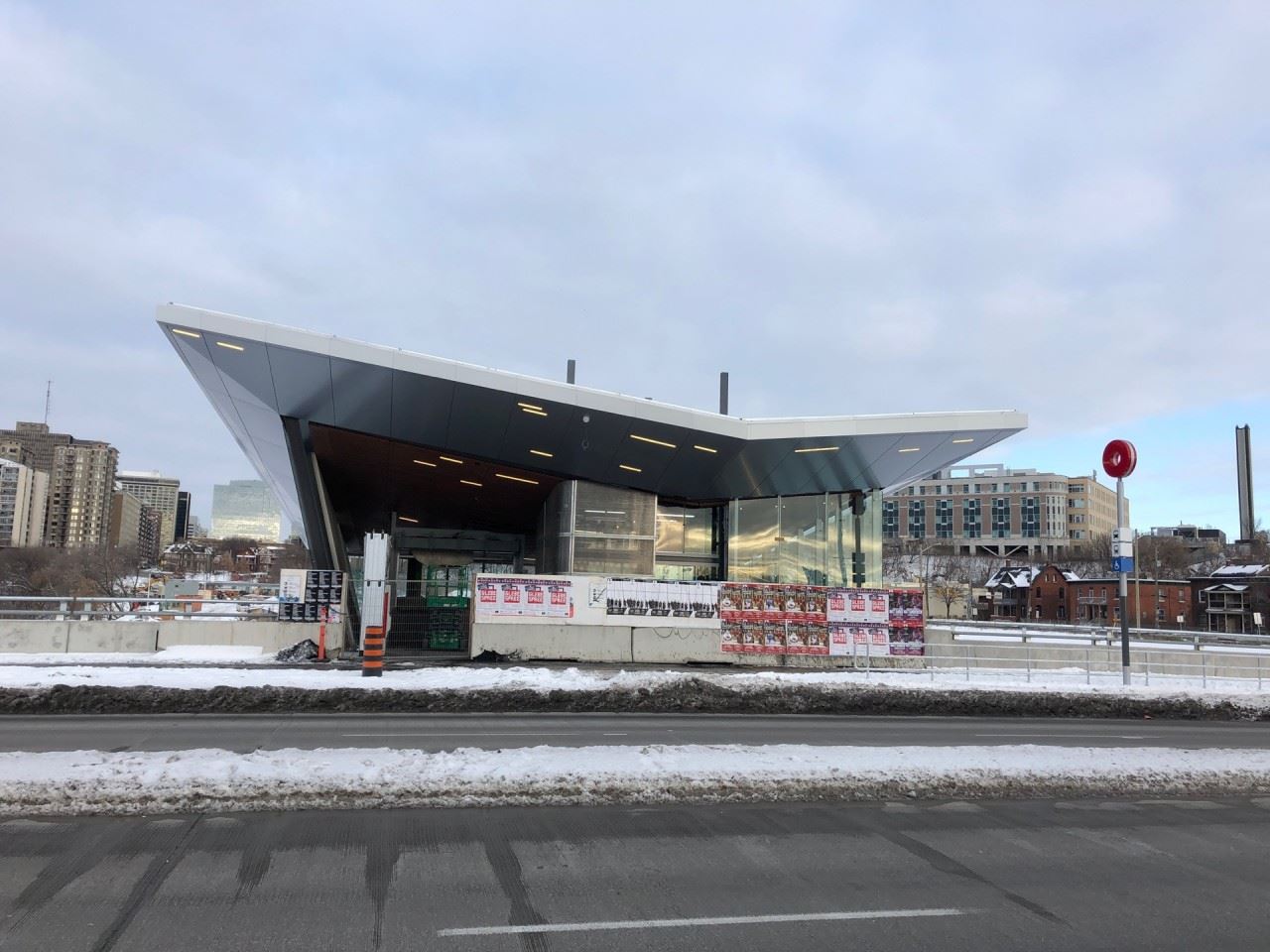
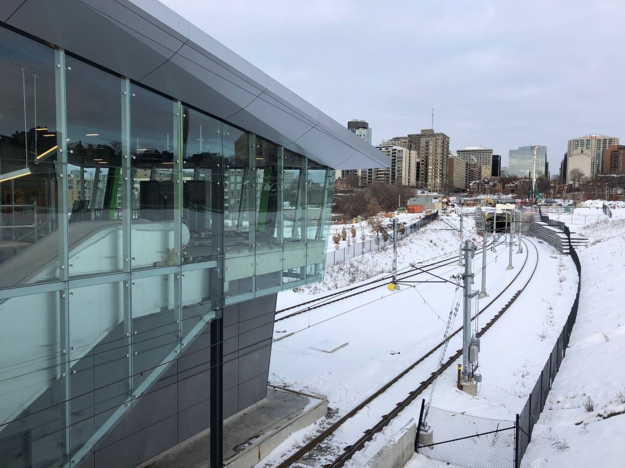
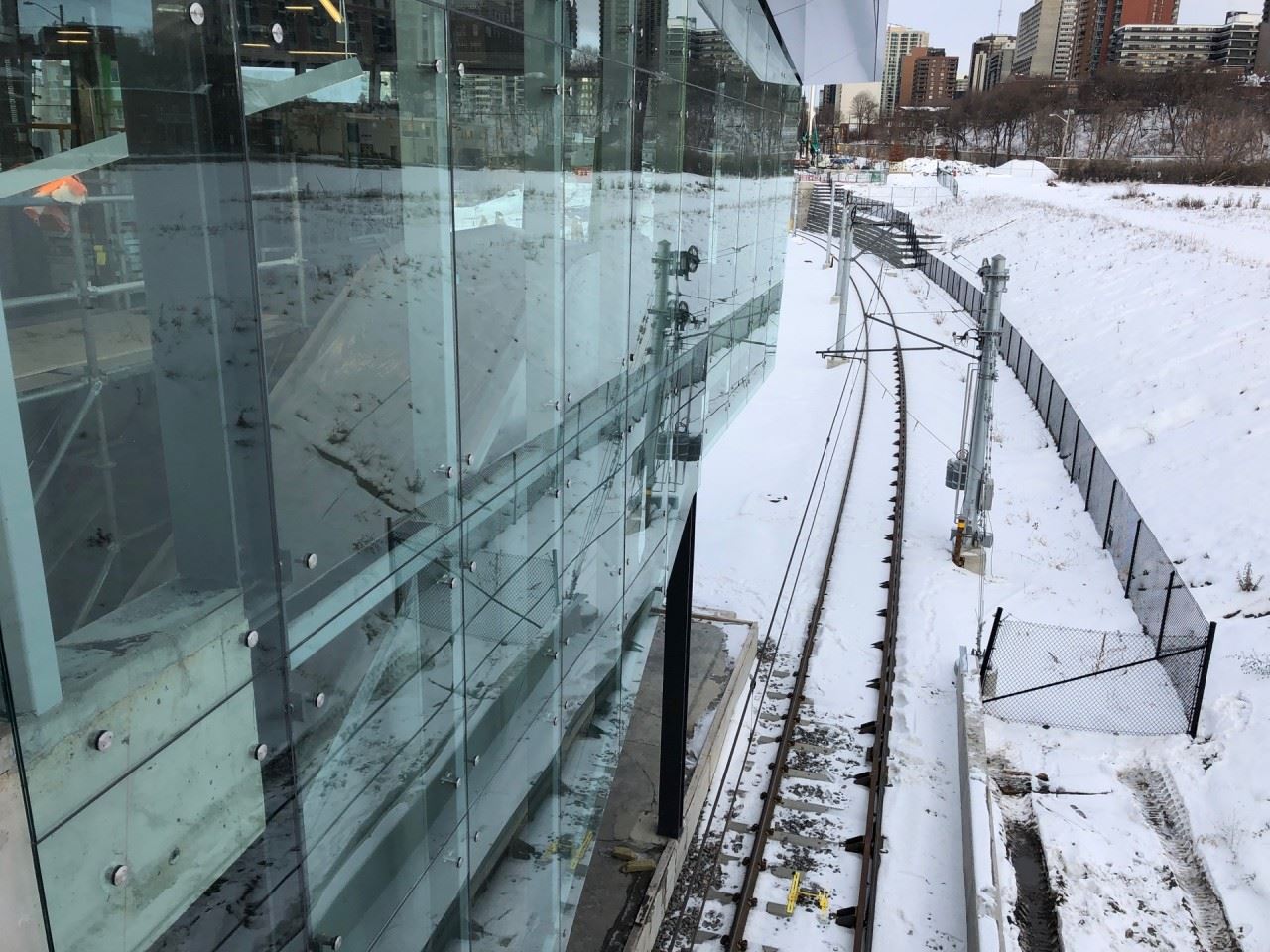
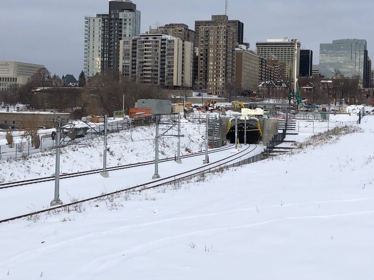
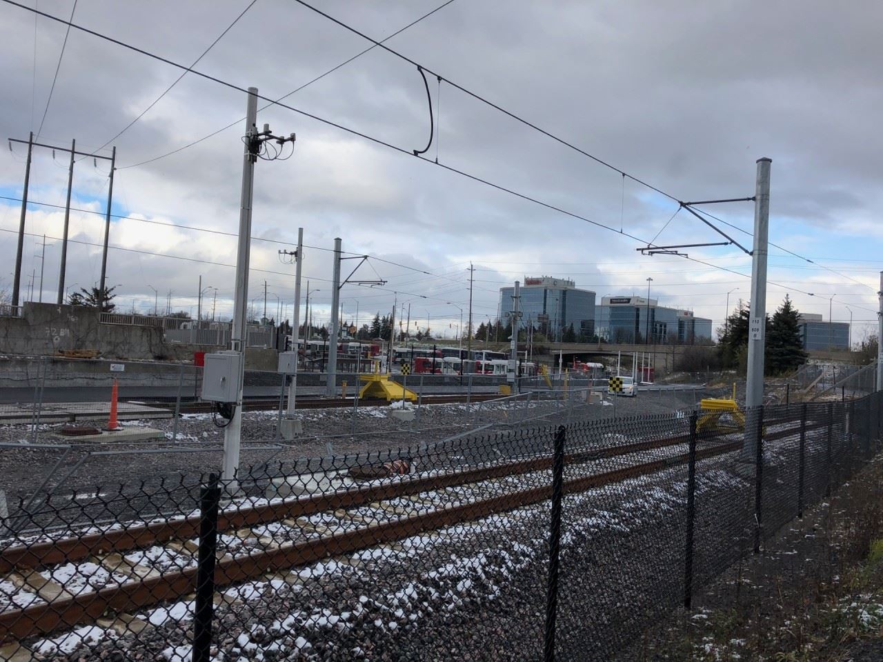
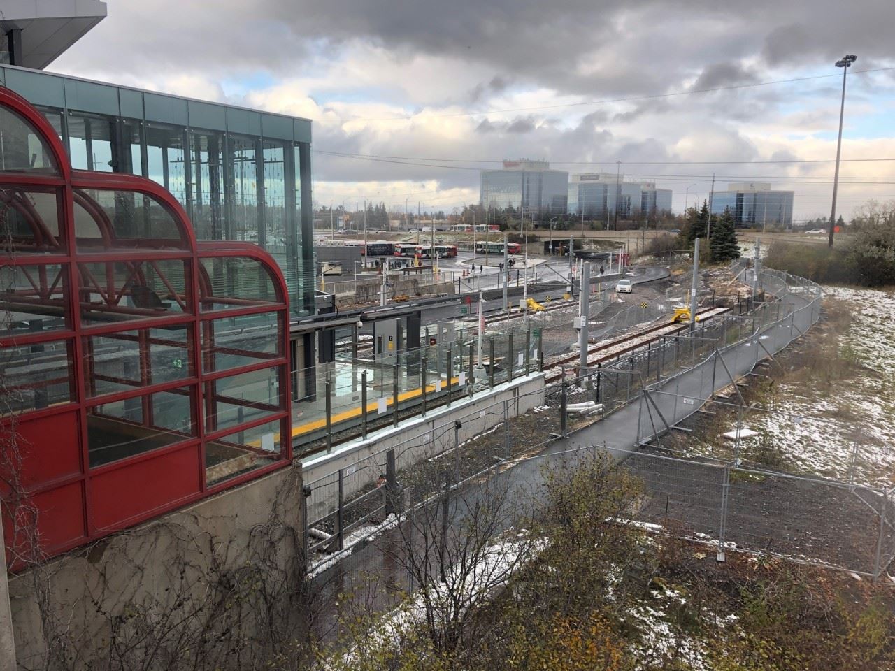
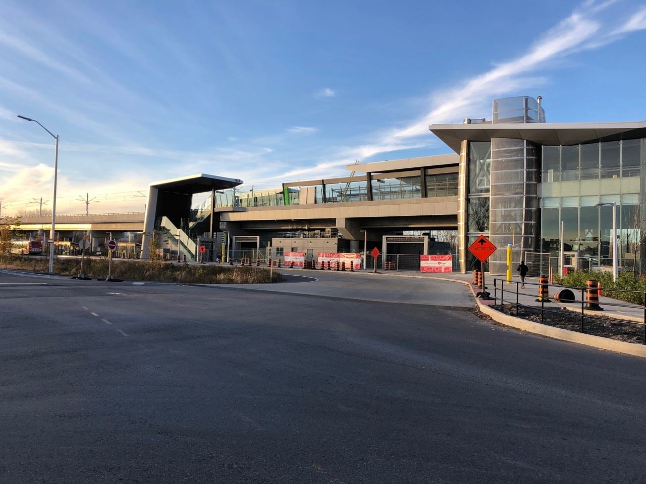
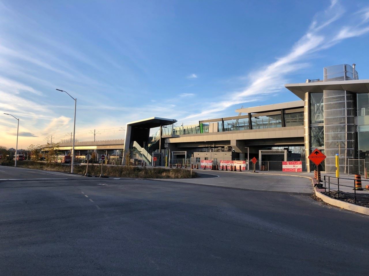
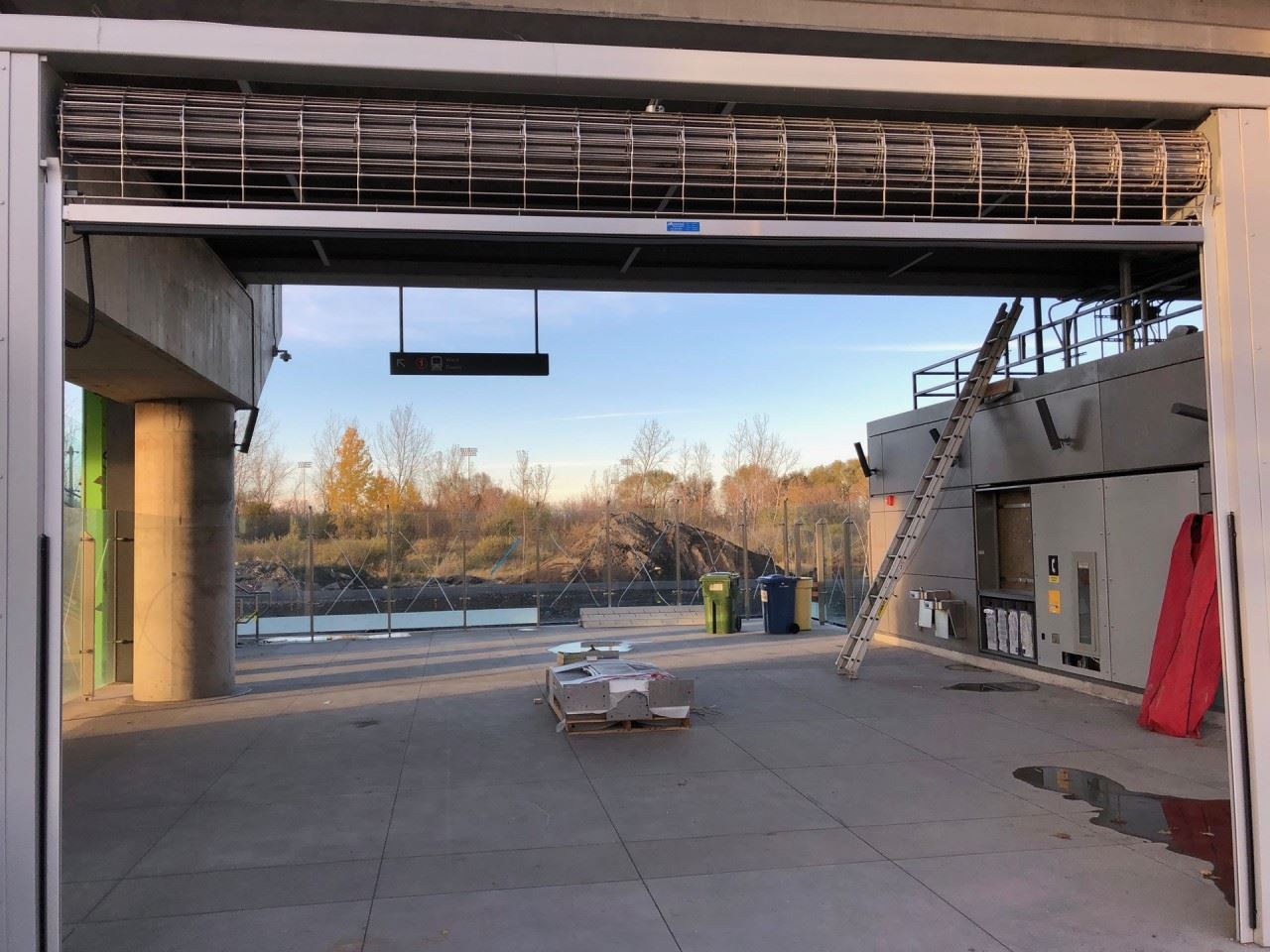
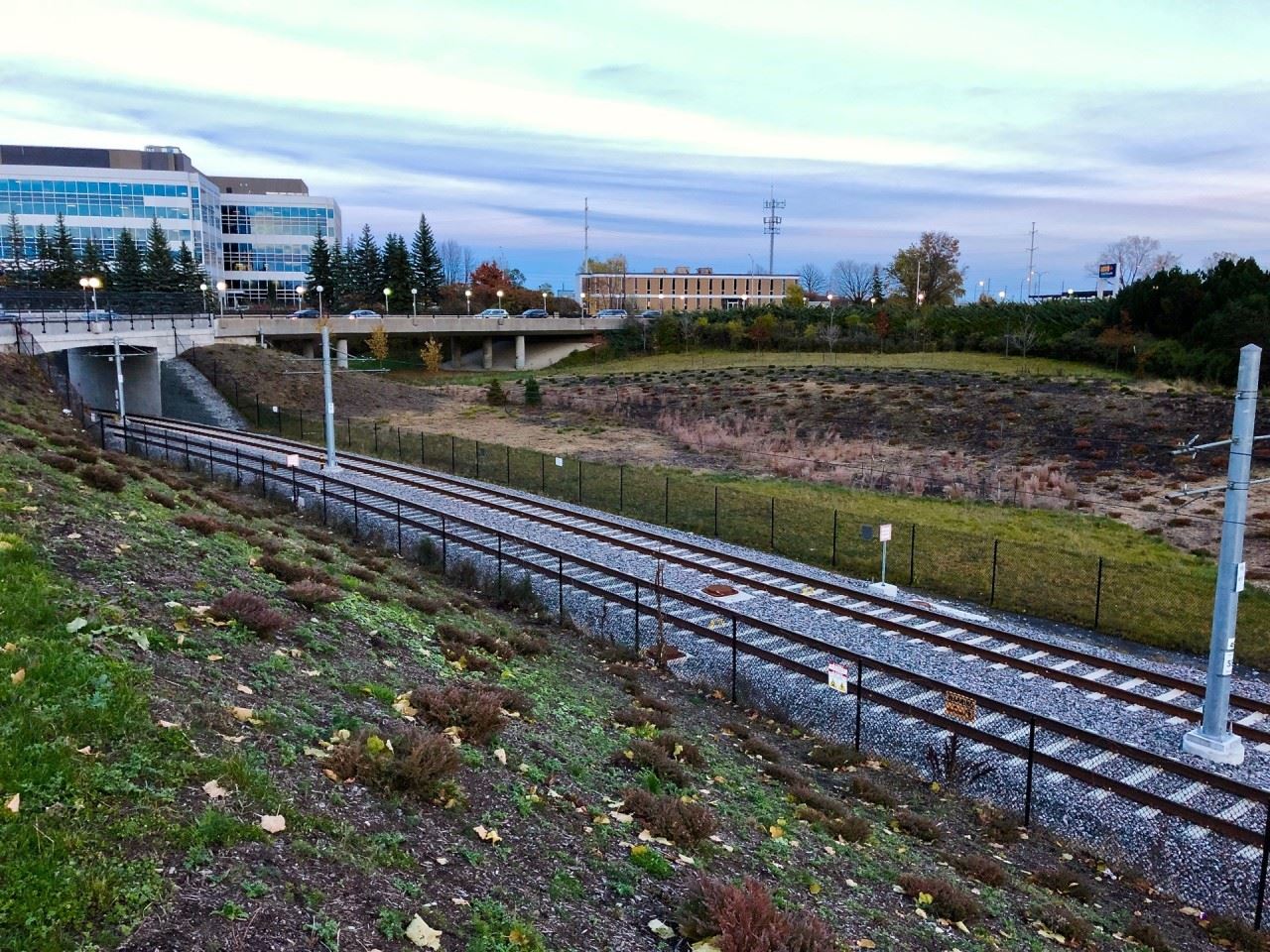
The end of the line... for now. By 2022 it will continue to Orleans and terminate at Trim Road.
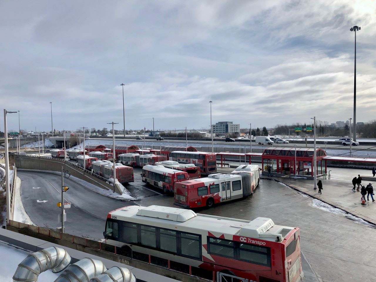
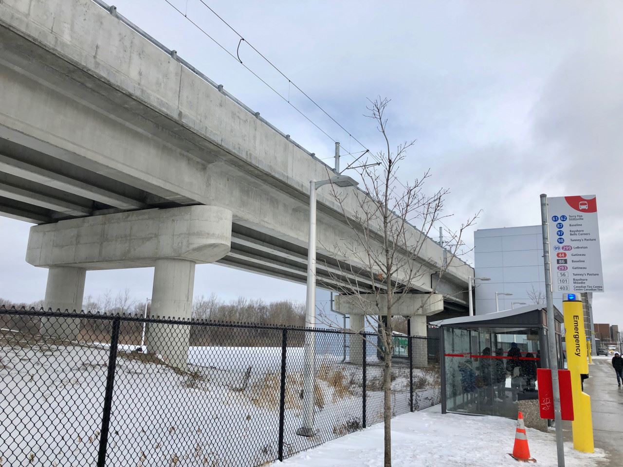
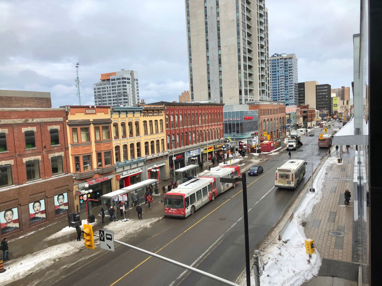
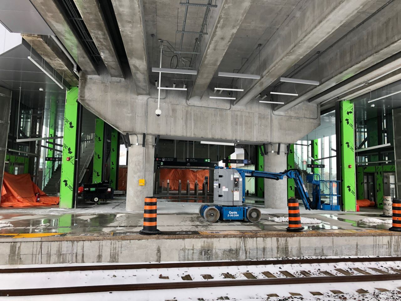
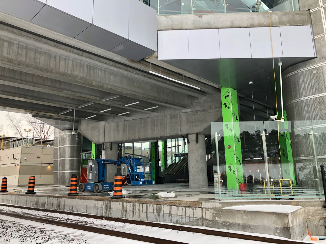
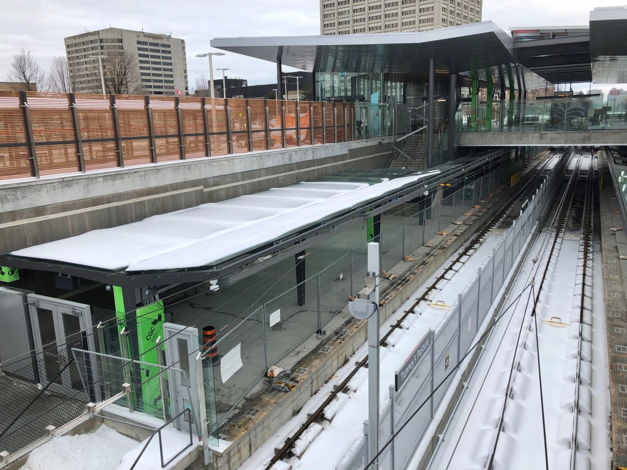
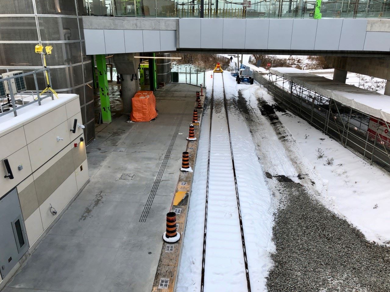
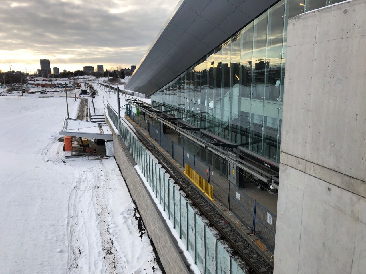
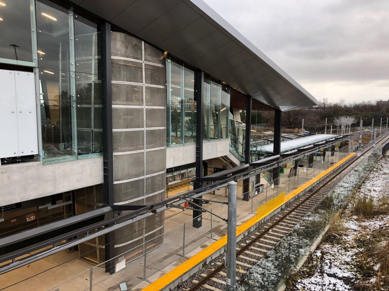
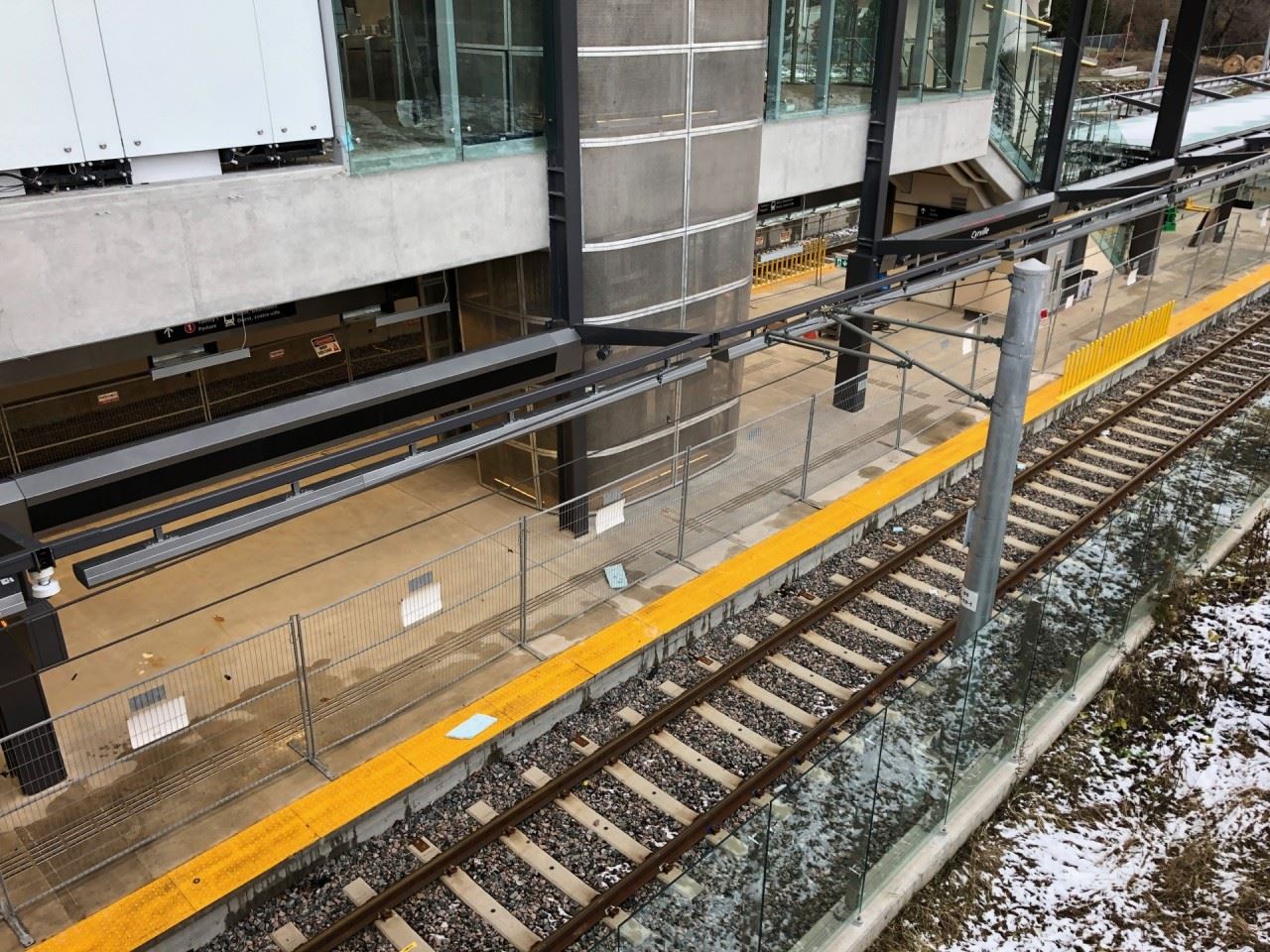
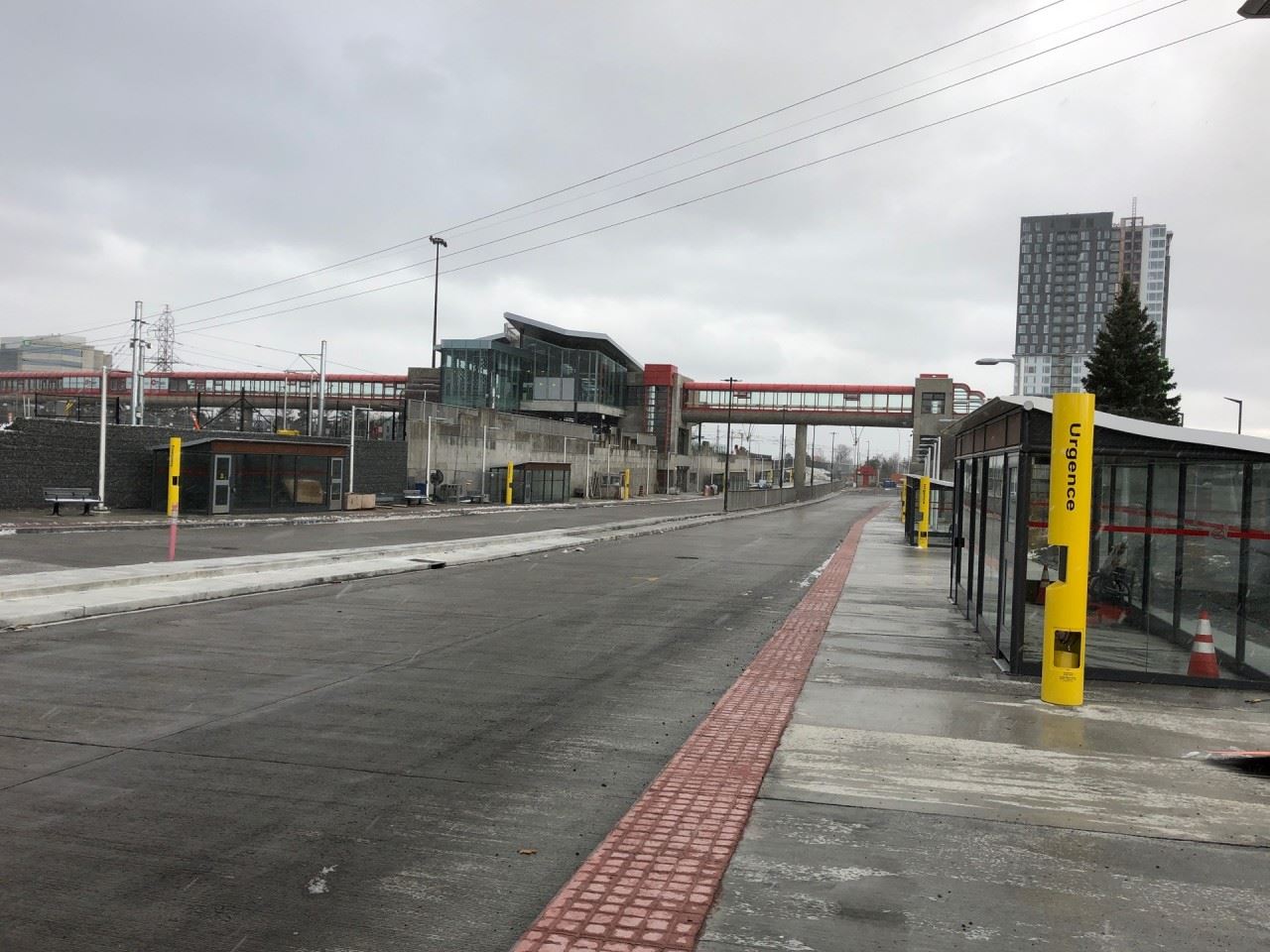
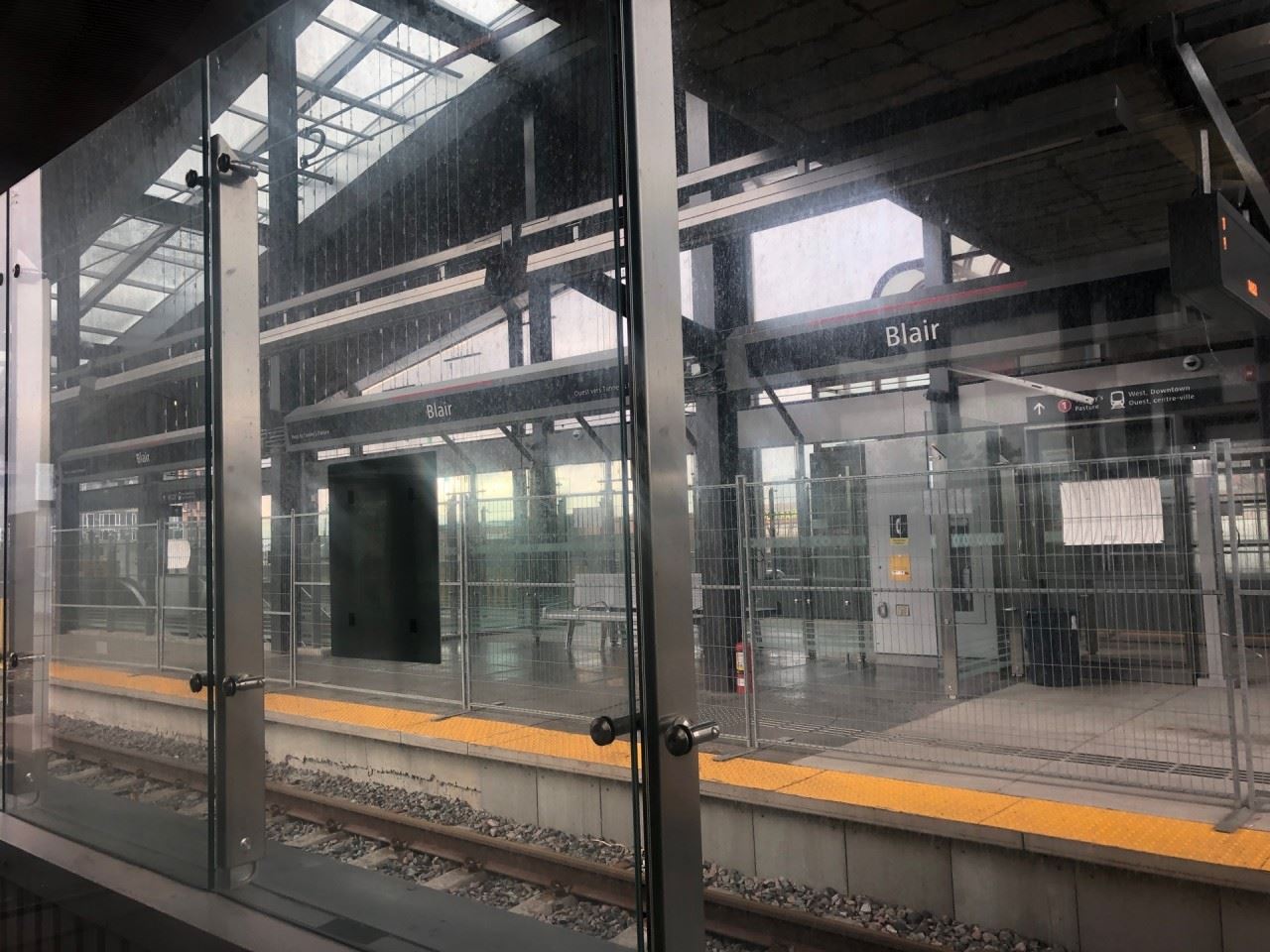
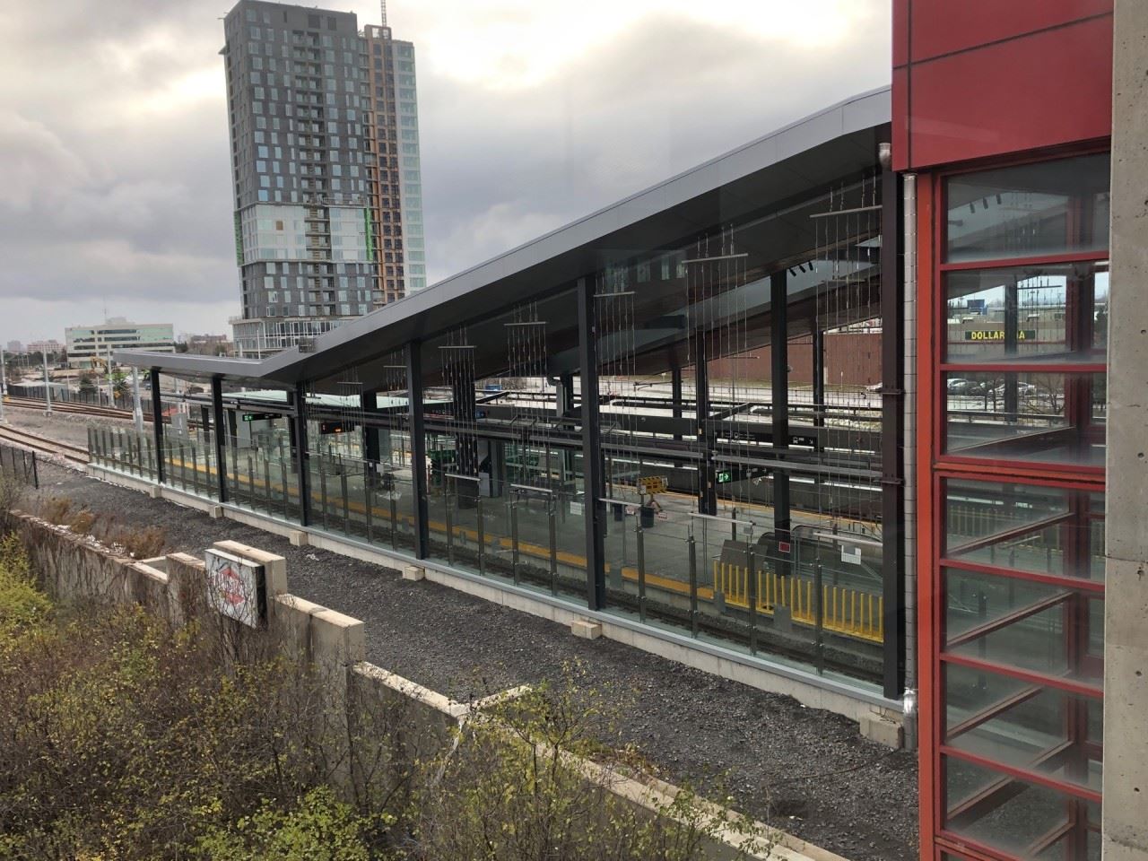
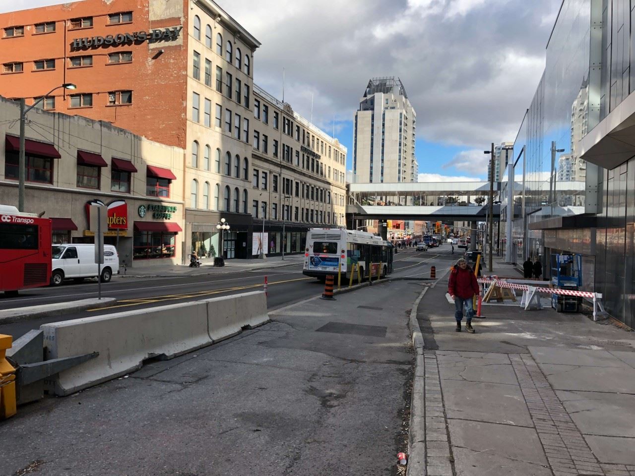
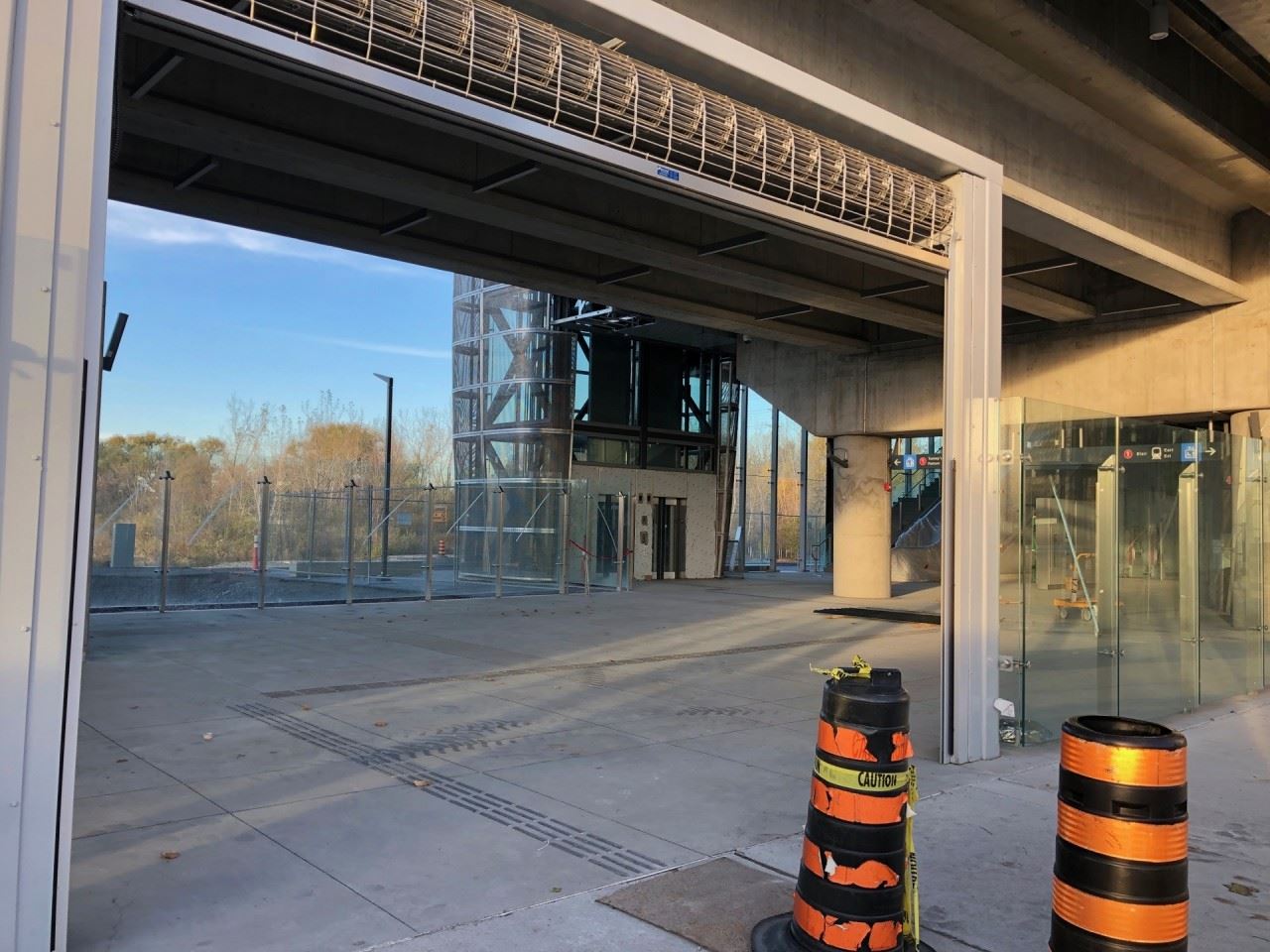
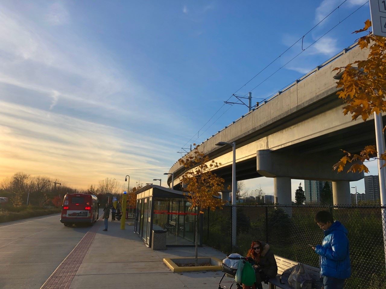
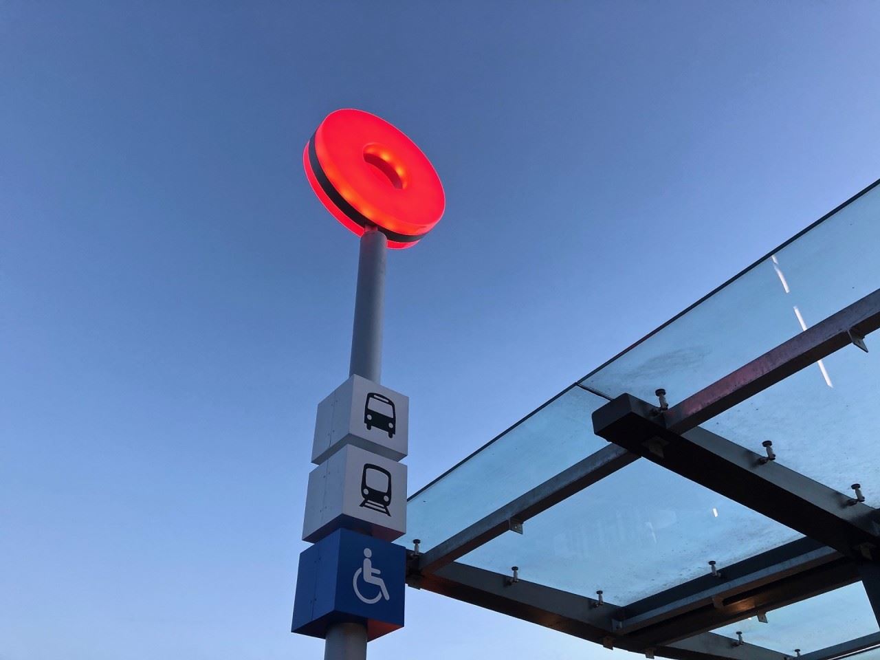
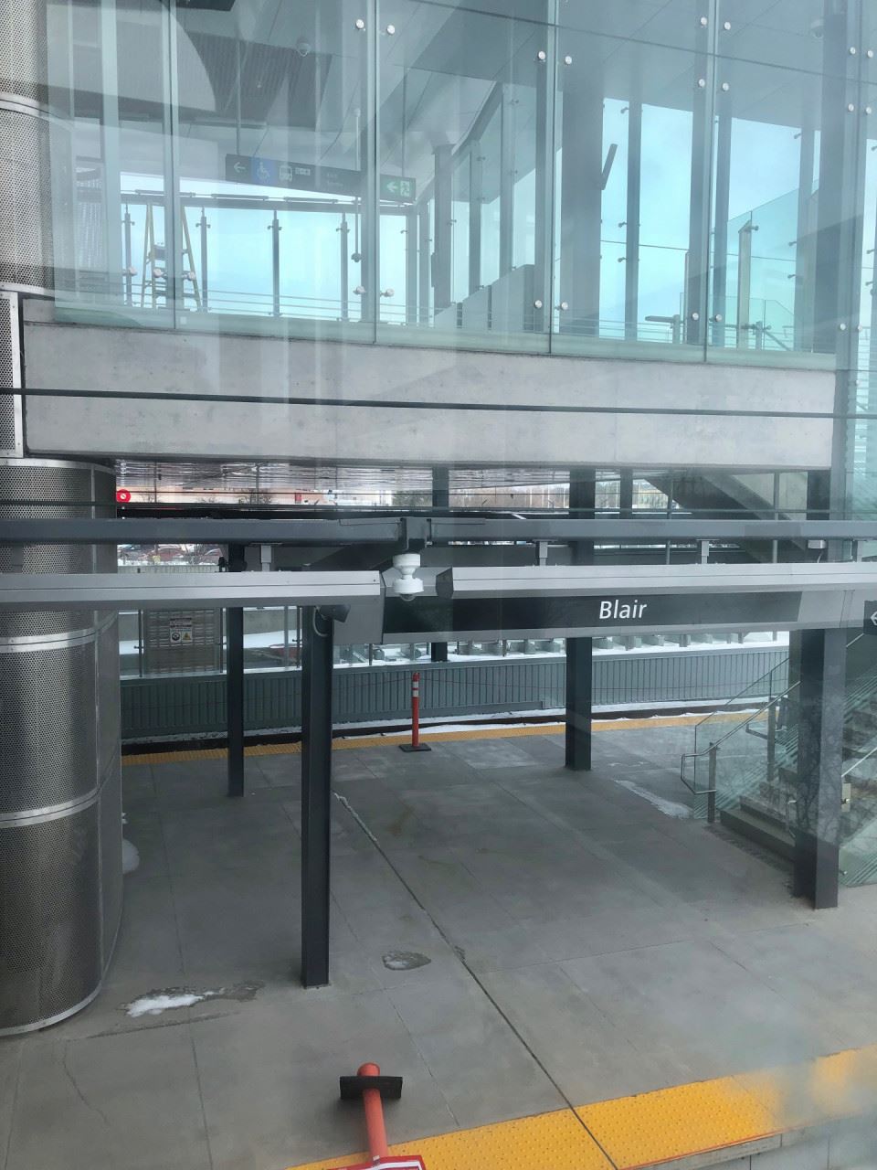
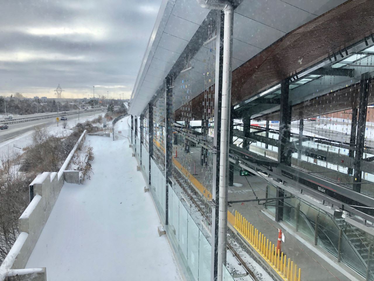
A view of the local and eastbound bus platforms.
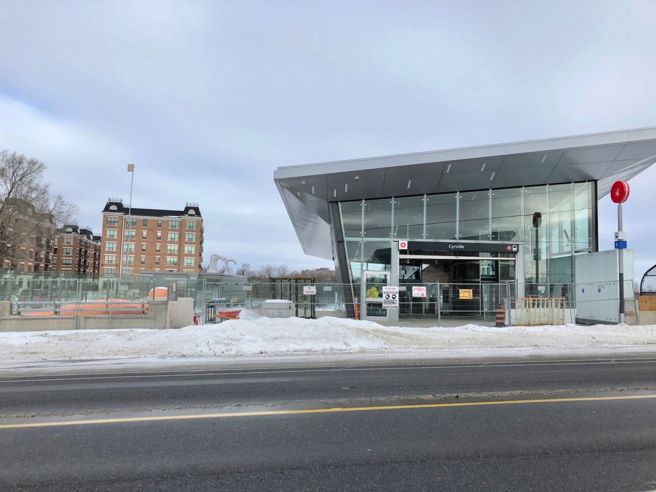
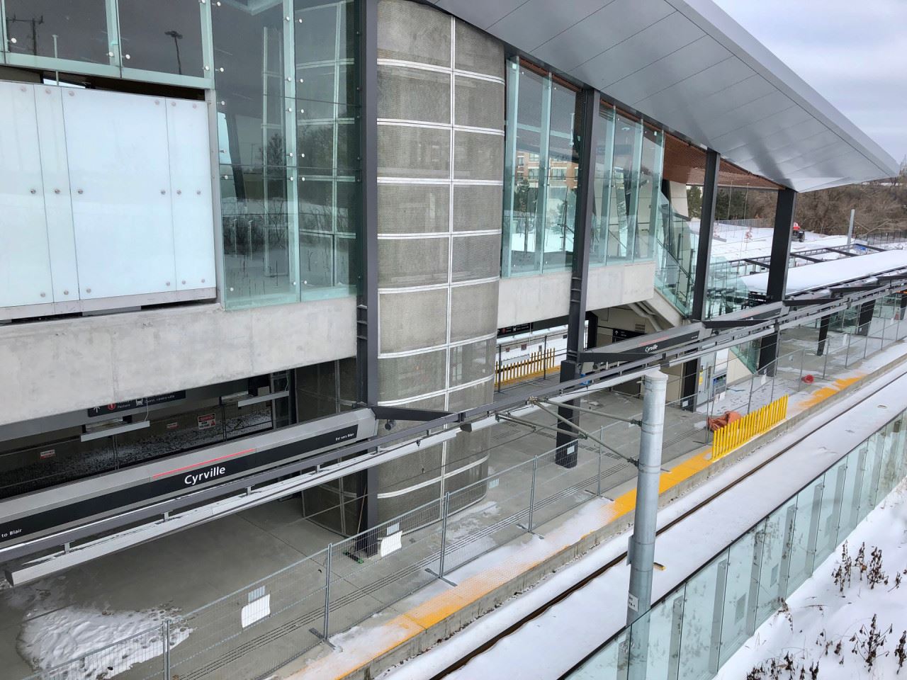
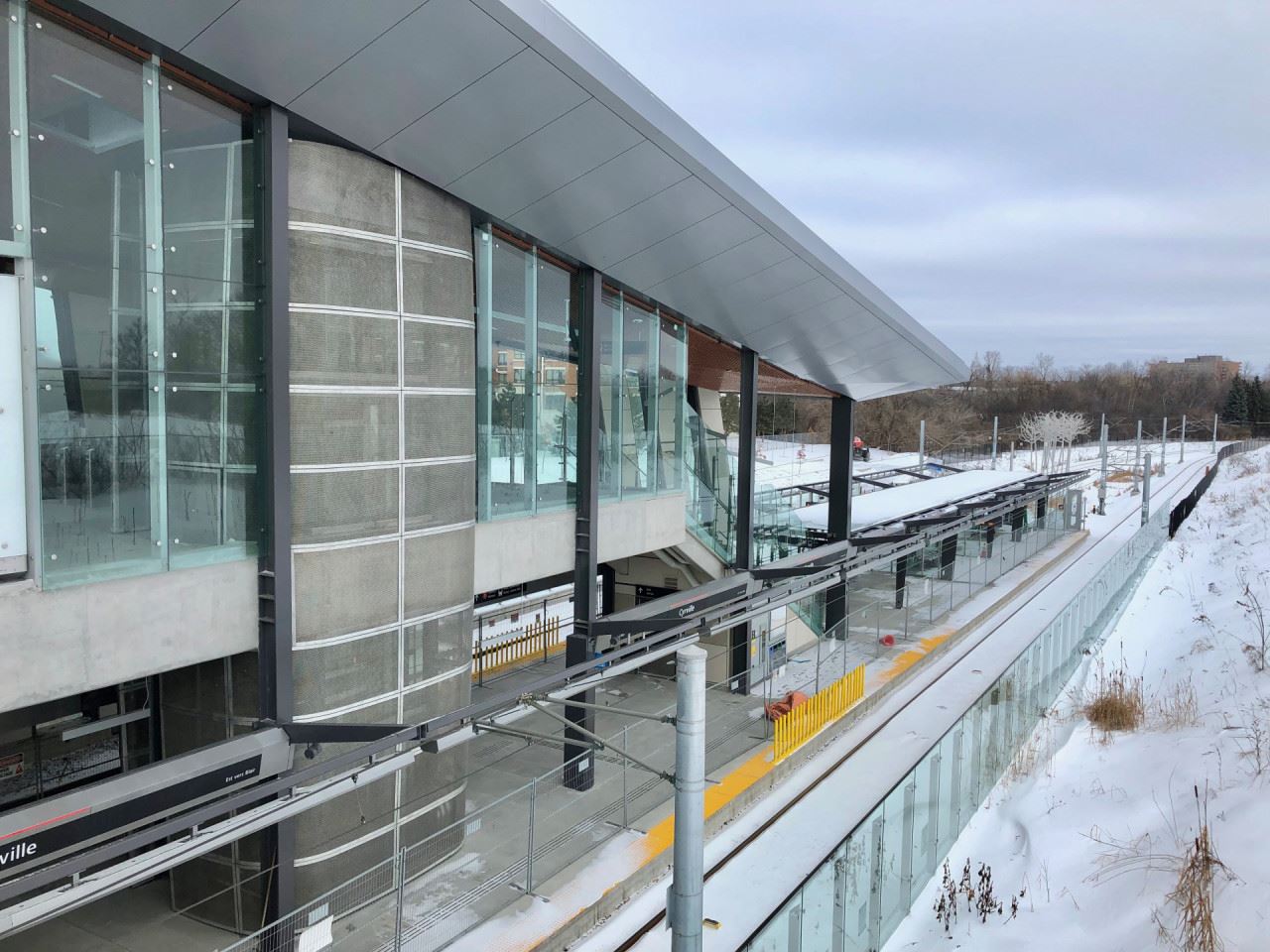
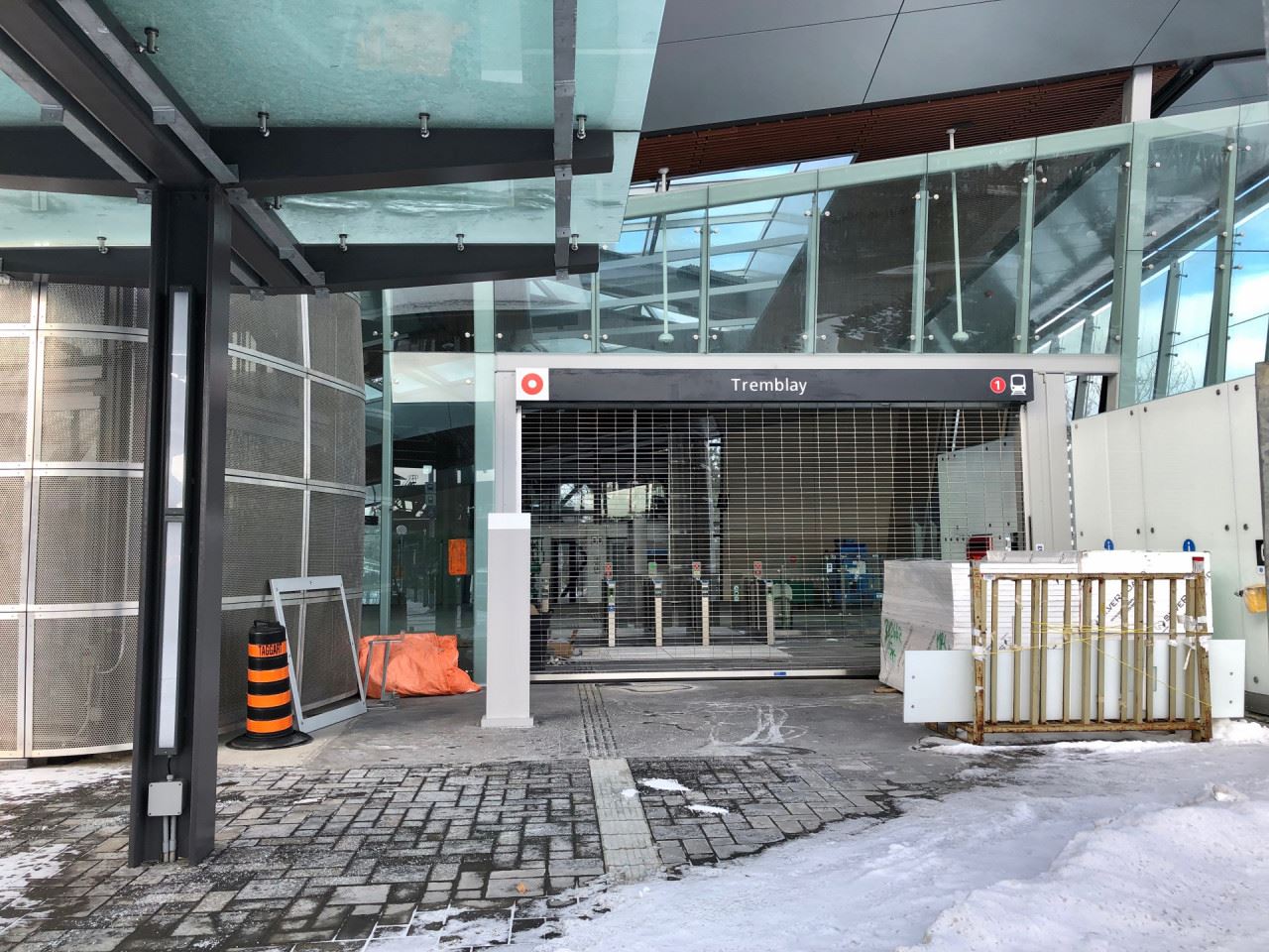
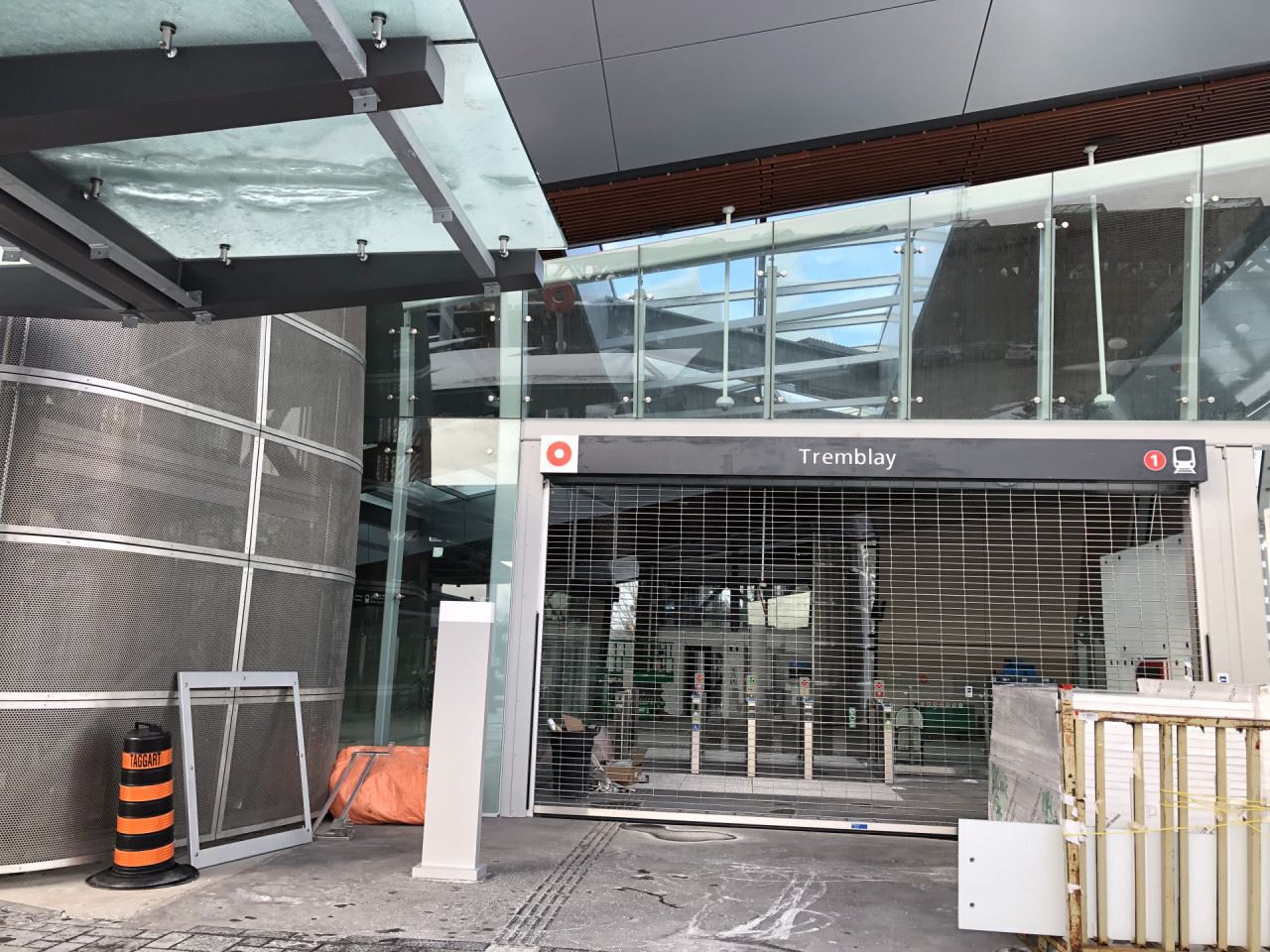
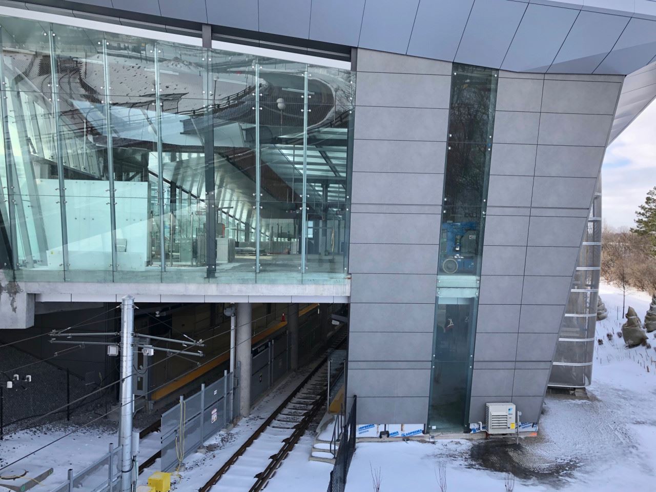
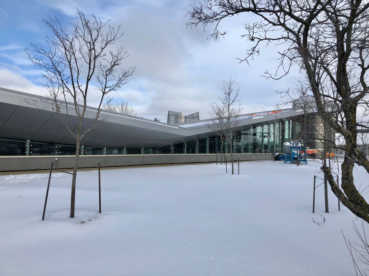
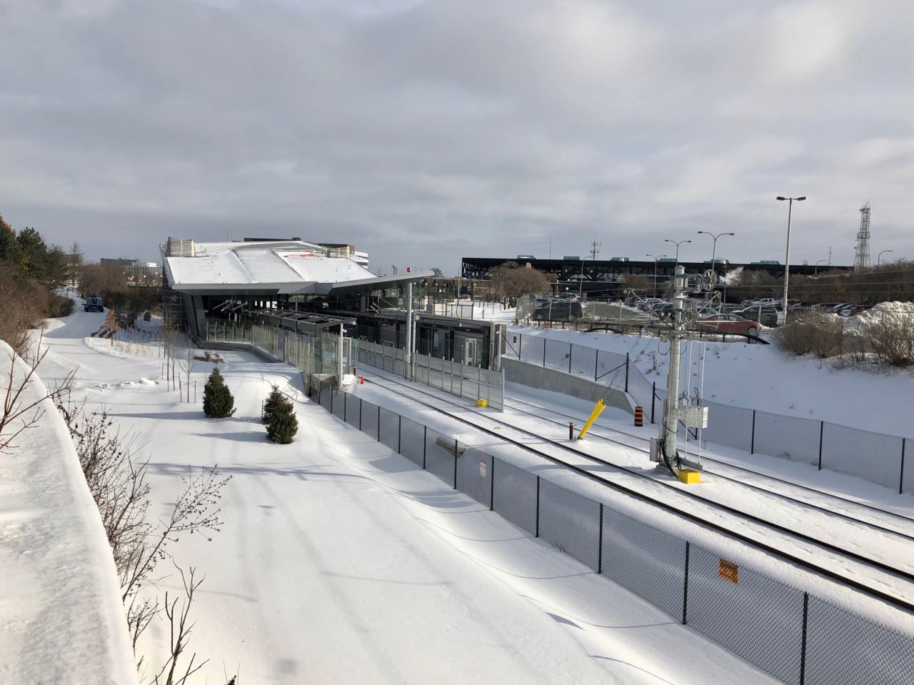
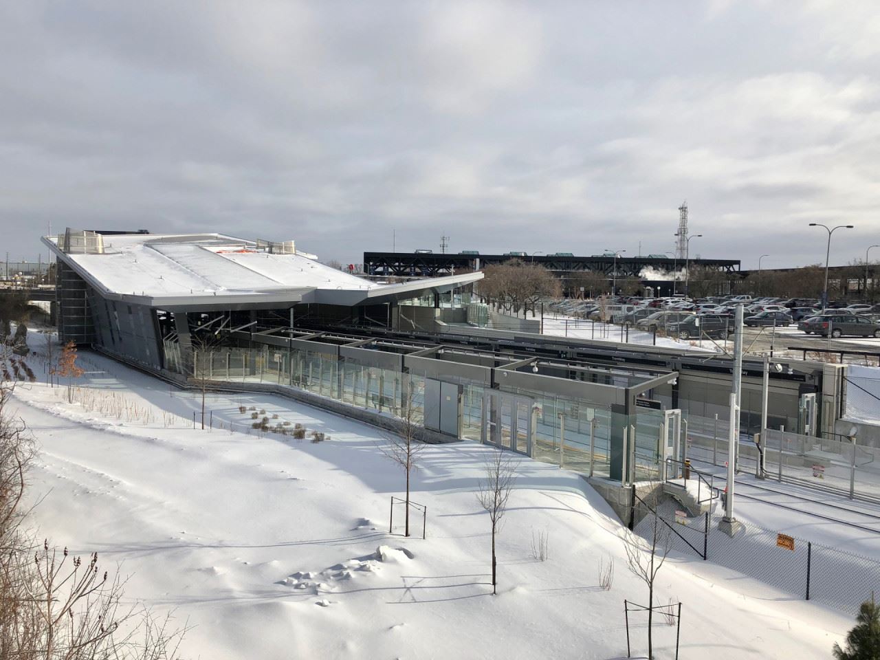
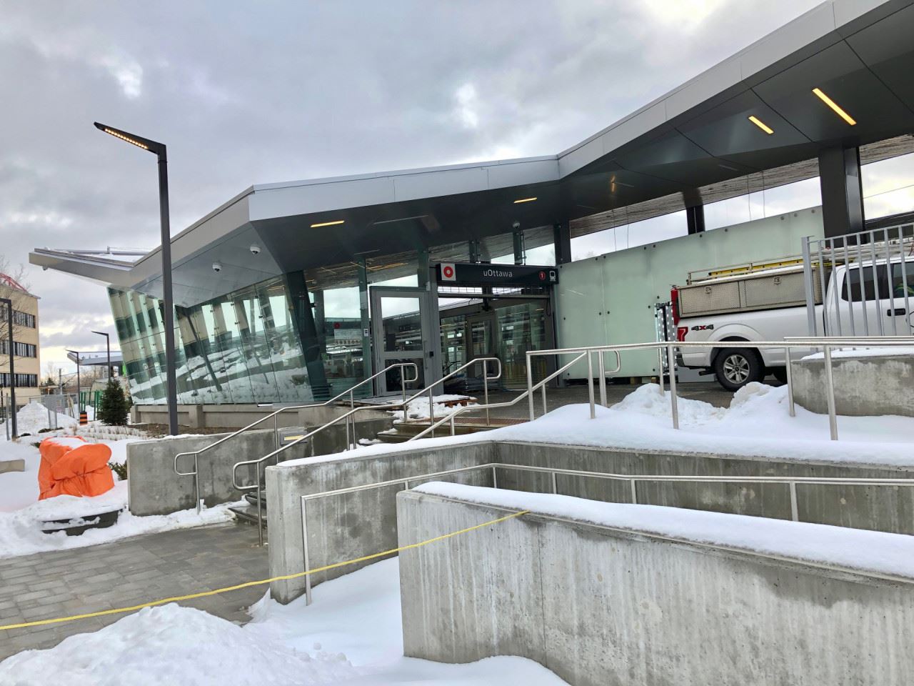
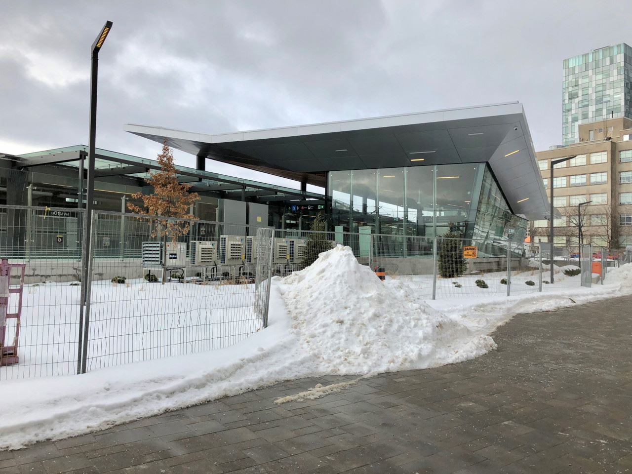
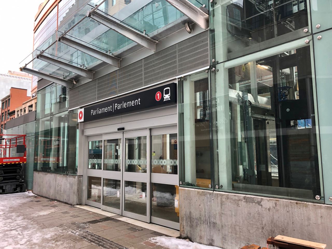
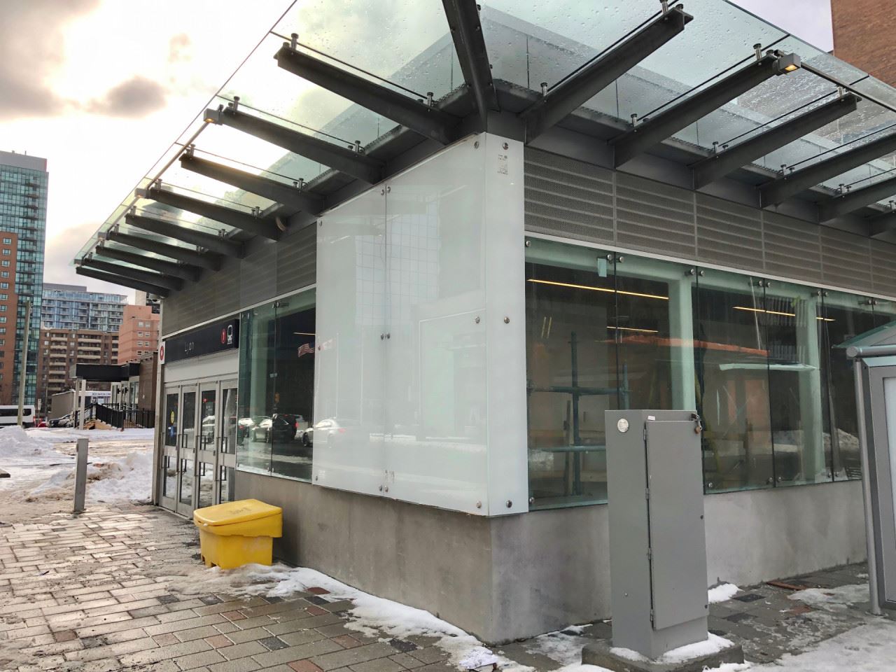
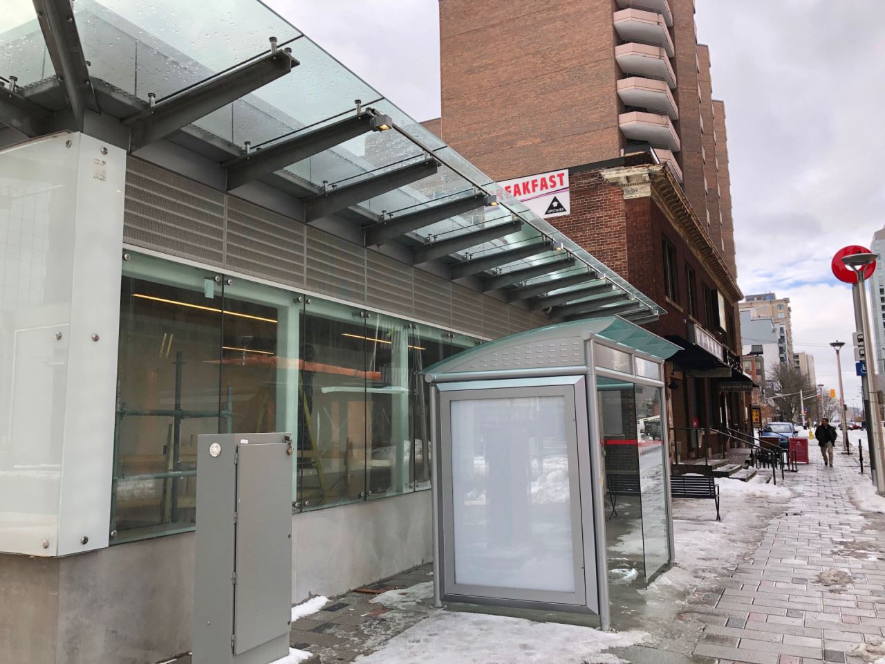
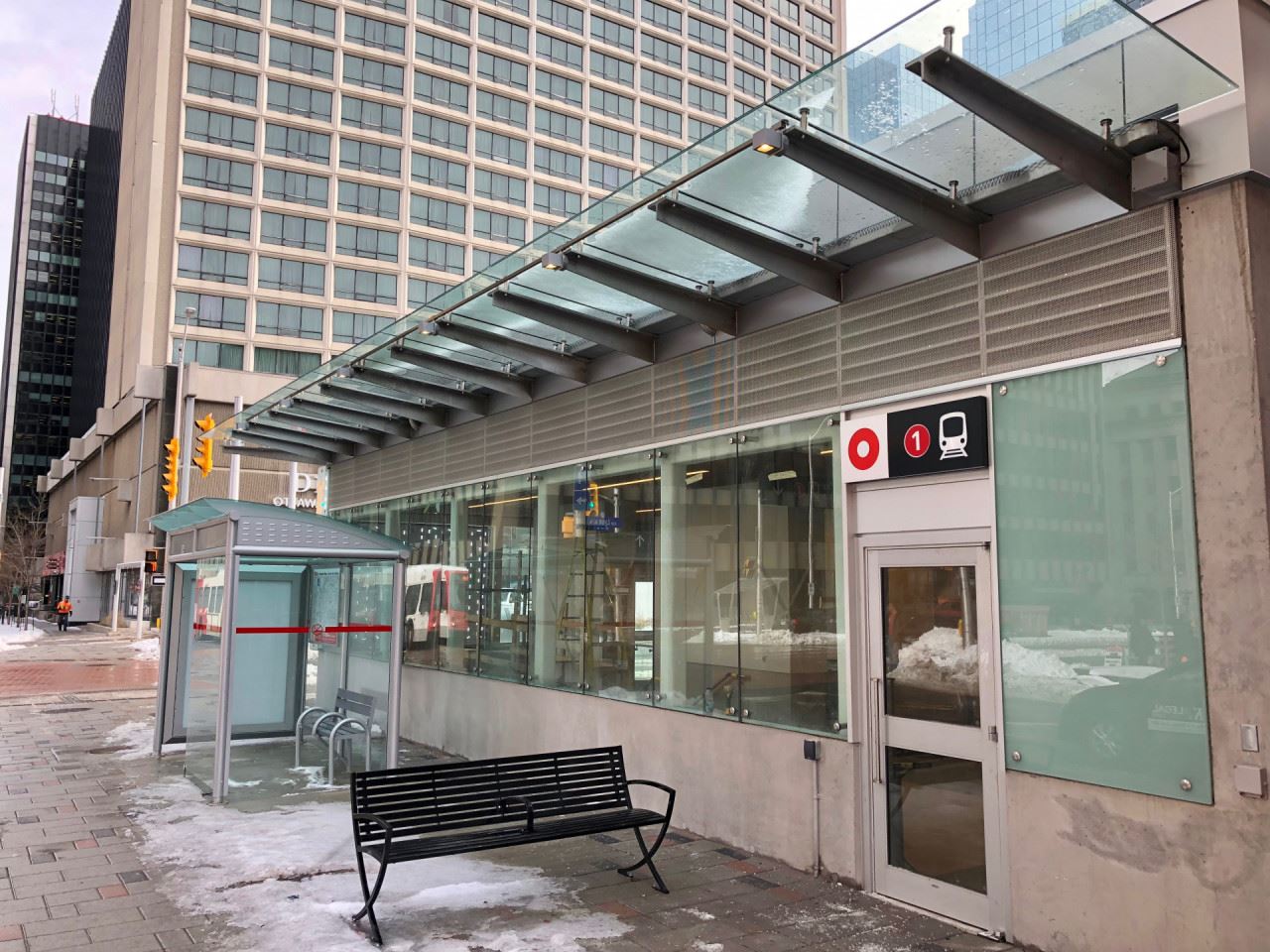
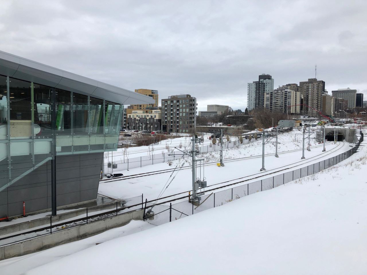
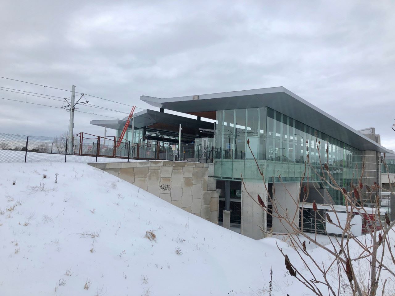
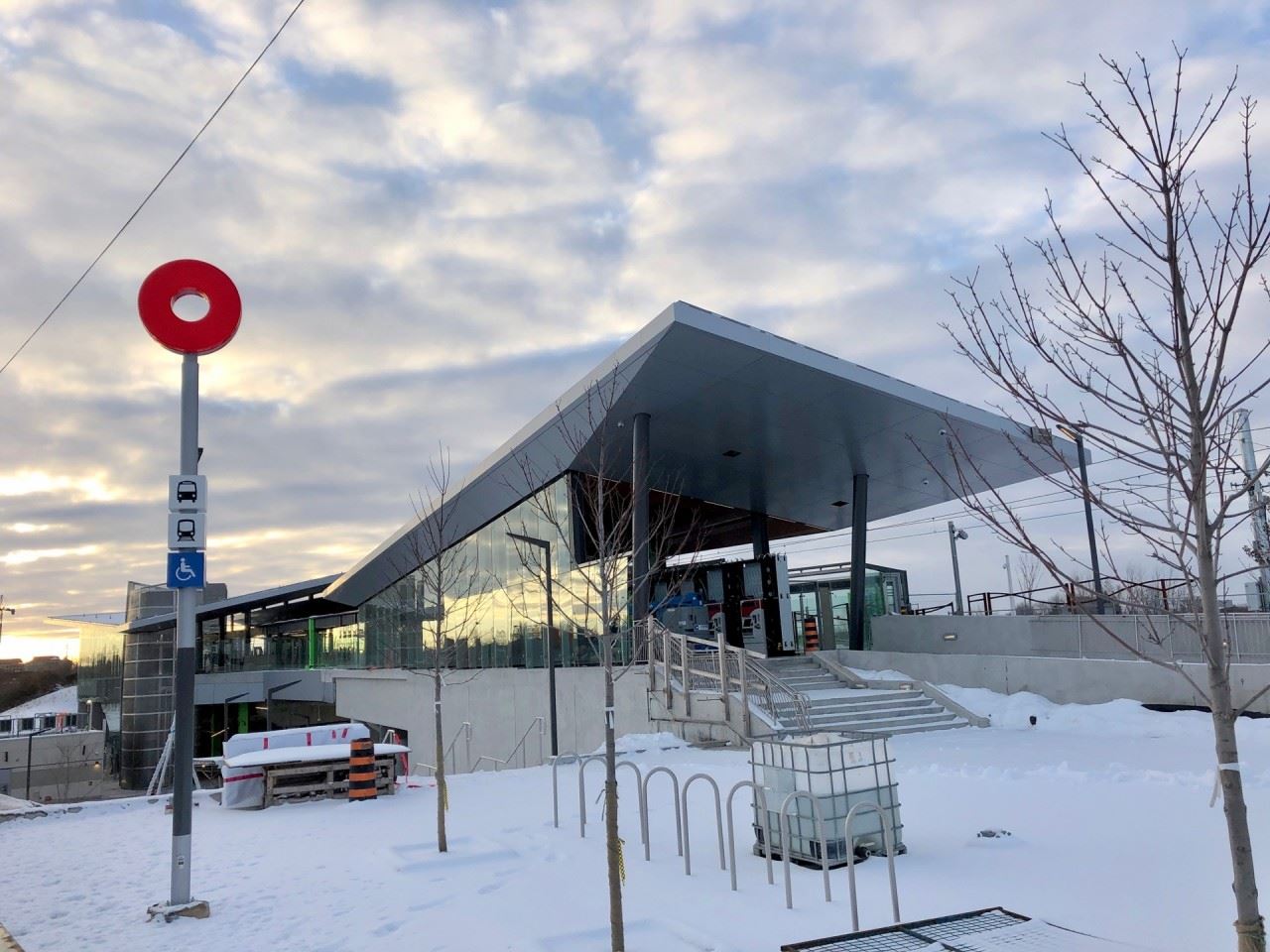
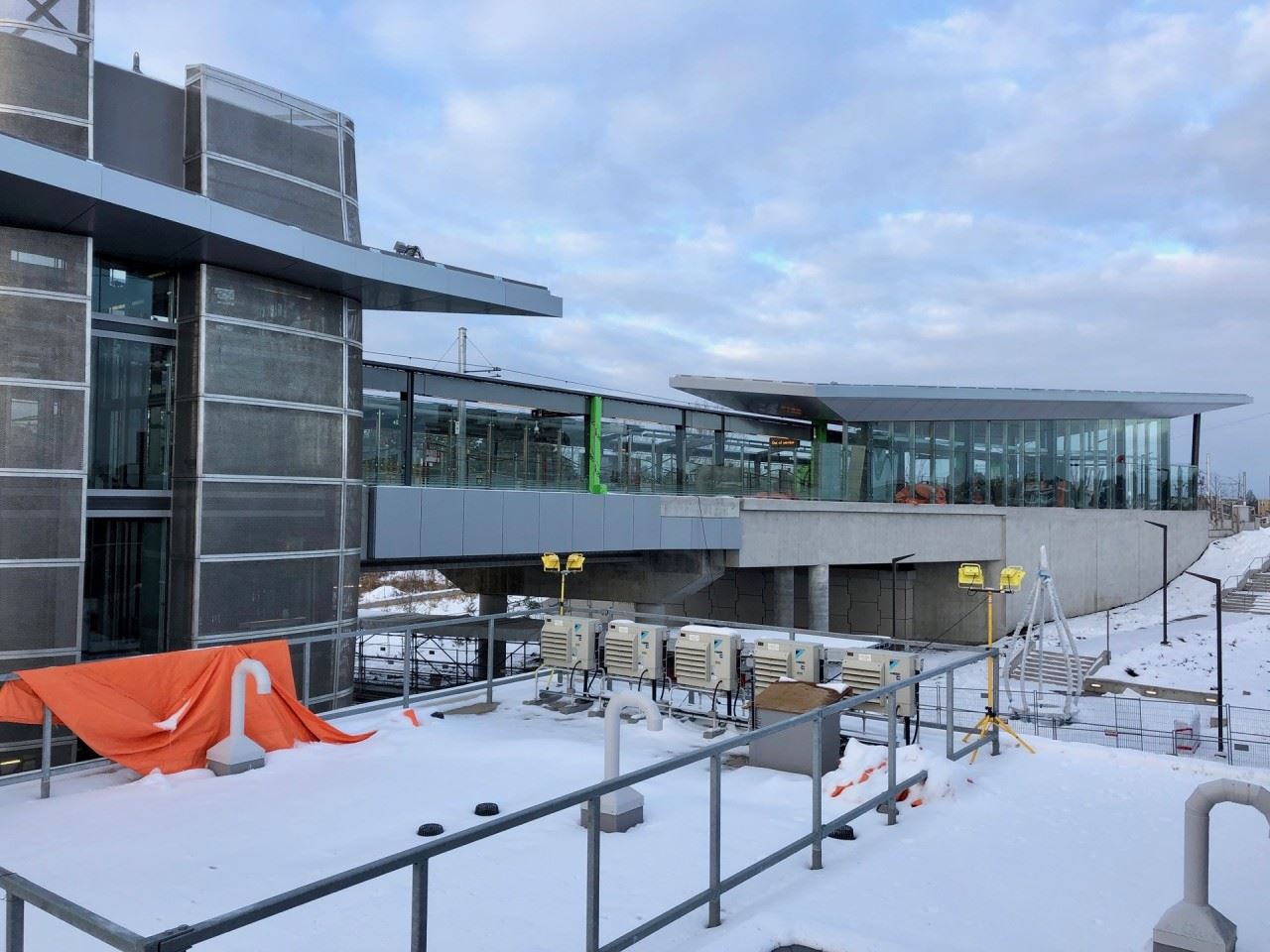
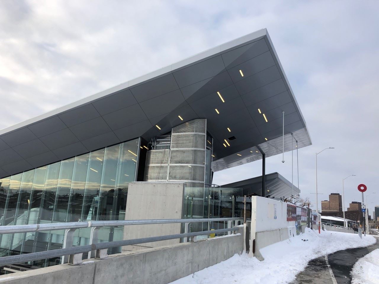
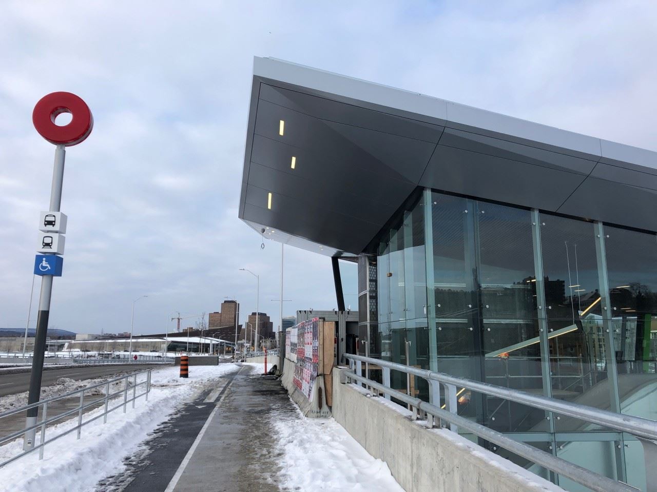
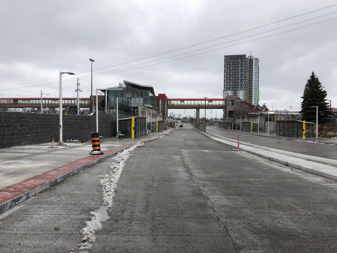
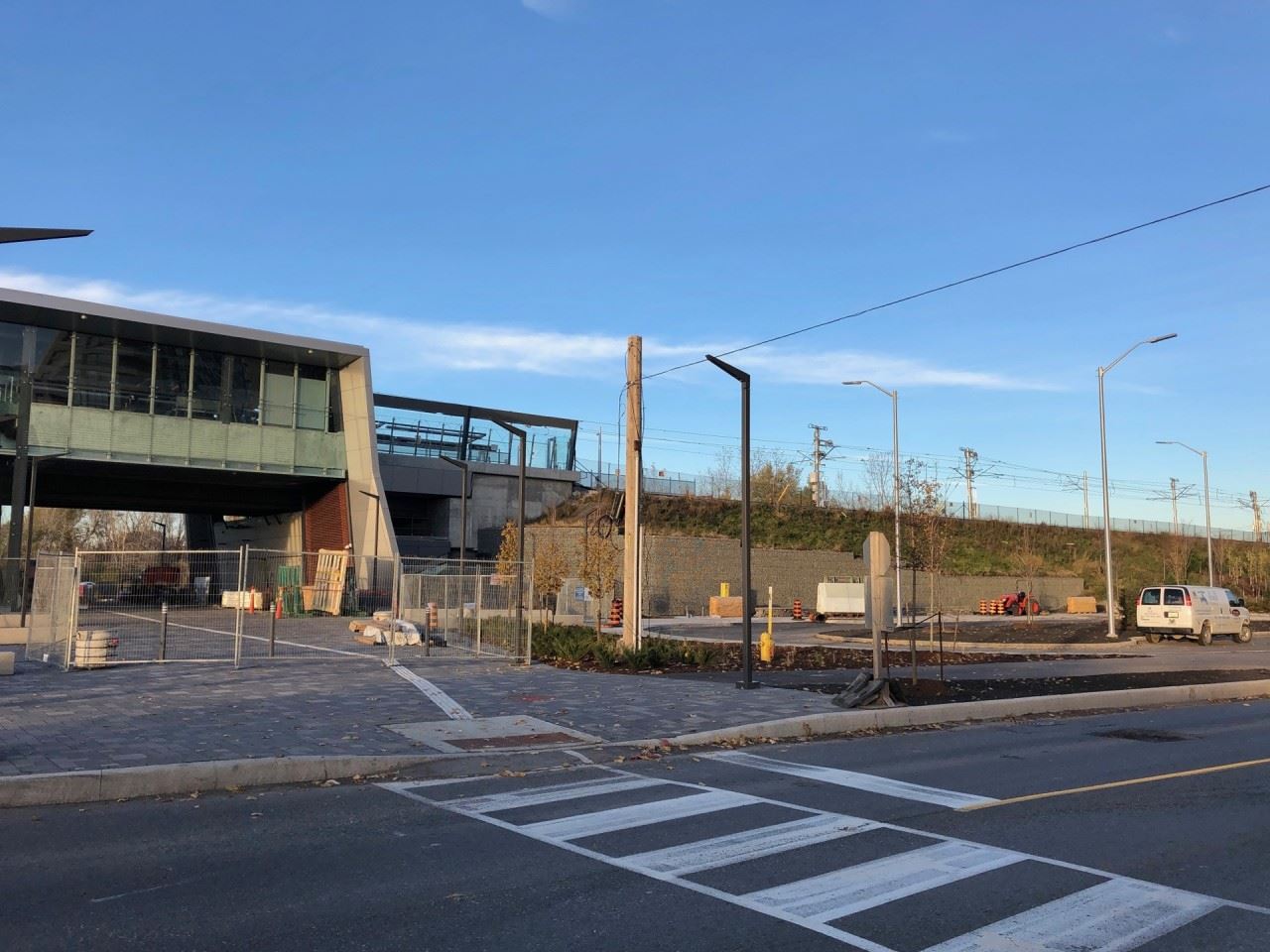
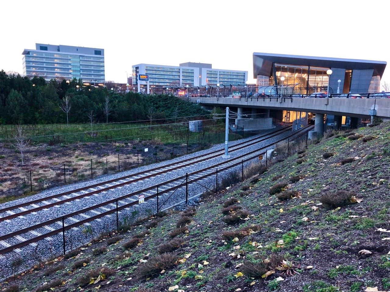
Blair Station, the eastern terminus of the Confederation Line... until 2022.
The elevators and the fare gates. As this is a central platform station, the elevators are positioned together rather than on separate sides of the platforms.
Stairs leading up from the pathway that runs beside the station.
Looking down towards the platforms, specifically the eastbound side.
The station makes use of very clean lines in its design and glass work.
The second entrance, located across the street on Cyrville.
This entrance has stairs and elevator access. The fare gates are found immediately after reaching the lower level.
The station hours are posted by the entrance.
Looking down towards the track and guideway towards St-Laurent Station.
Looking at the rear of the station.
One of the Traction Power Sub-Stations (TPSS), located at the edge of the station perimeter. This provides the necessary voltage and current to the overhead catenary wire to power the trains.
Tremblay Station, as seen from the VIA Rail train station ring road. You can see how the shape and orientation of the glass entrance helps identify its location, even from a distance.
The station entrance is only a 2 minute walk from the VIA Rail train station's entrance.
The entrance, fare vending machines and fare gates.
This is the only entrance and exit for Tremblay Station.
Looking down towards the tracks. You can see the very end of one of the platforms.
The platforms and concourse station levels.
The south side of the station.
The opposite end of the platforms, that extend outward from the station.
And the tracks heading towards Hurdman, first passing over Riverside Drive.
Looking back at the station from the opposite side.
As the station area is considered a fare-paid zone, there are no fare gates through the entrances visible in this shot. This facilitates transfers to and from bus transit.
Through this entrance you will find the fare gates, for use by commuters of the area. The multifunction pathway can also be reached by passing through to the other side.
The public art swooping through the main entrance of Hurdman Station.
To the right of the main entrance is a car drop off and pick up loop, a new feature of Hurdman. (Also sometimes known as a Kiss and Go).
Looking inside the station, you can see the stairs and escalators, that will bring passengers up to the elevated platform level.
Looking up towards the platforms.
Elevators are positioned to both sides of the platforms, to give access to the bus loop below.
Stairs leading up to the westbound platform.
And the stairs leading up to the eastbound platform.
Notice the very geometric glass paneling for the stairs.
Looks even more eye catching in person. Very nice!
Looking at the elevated tracks and guideway from the bus loop.
Station entrance to the left, Rideau Centre entrance to the right.
A peek through the doors, you can see the escalators.
And the stairs.
The interior entrance to the station from Rideau Centre, in between Farm Boy and Shoppers Drug Mart.
The Rideau Station sign on the floor, waiting to be installed.
And the elevators from within Rideau Centre, located next to EBX (EB Games) and across from Tim Hortons.
Looking up Rideau Street towards Wellington.
And towards King Edward. You can see the other station entrance under the blue glass building (ScotiaBank). Unfortunately, no additional photos at this time as work vehicles blocked the view from up close.
The accent lighting along the underside of the roof awning. I keep saying it but it really does look sharp, especially at night.
Fare gates installed and activated.
Looking down towards the eastbound platform.
Another angle of the main entrance with the O-Train station marker visible.
Stairs that head down towards the pathway that connects to the businesses off of Cyrville and Labelle, such as CANEX, among others.
The main entrance as seen from the opposite side of Cyrville (from the second entrance).
The second Cyrville Station entrance.
This entrance is located opposite the main entrance and is much smaller in size.
It only features stairs and an elevator, bringing passengers down to the fare gates located at platform level.
The elevator.
And the stairs, that head down to the fare gates and platform level.
The tracks heading westbound to the next station... St. Laurent. Notice the TPSS (Traction Power Sub-Station) in grey near the top right of the photo, which provides the necessary voltage and current to power the trains.
Looking back up Cyrville towards the two entrances of the station.
Blair Station
Blair Station, as seen from the entrance of the Gloucester Centre. Two O-Train station markers are visible. The one in the background lists both Train and Bus, while the one in the Foreground lists only Train. An error perhaps?
The main entrance is located to the right (through the fenced off area).
The local bus platforms below and the Confederation Line above to the left
Bike racks for passengers.
The local bus platforms.
The current eastern end of the Confederation Line tracks. Notice the yellow track stop buffers.
The overhead signage indicates that this platform will also serve westbound service towards Tunney's Pasture. This will change to eastbound service in 2022 when the Confederation Line is extended to Orleans.
New meeting the Old Transitway structures.
The overhead walkway that connects to the pedestrian overpass crossing highway 174 as well as the other walkways towards the Gloucester Centre.
The elevators and fare gates (not visible)
The overhead walkway. Interestingly this structure was retained from the original Transitway station, with the red windows and canopy roof removed.
The accent lighting along the underside of the roof awning. I keep saying it but it really does look sharp, especially at night.
Fare gates installed and activated.
Looking down towards the eastbound platform.
Another angle of the main entrance with the O-Train station marker visible.
Stairs that head down towards the pathway that connects to the businesses off of Cyrville and Labelle, such as CANEX, among others.
The main entrance as seen from the opposite side of Cyrville (from the second entrance).
The second Cyrville Station entrance.
This entrance is located opposite the main entrance and is much smaller in size.
It only features stairs and an elevator, bringing passengers down to the fare gates located at platform level.
The elevator.
And the stairs, that head down to the fare gates and platform level.
The tracks heading westbound to the next station... St. Laurent. Notice the TPSS (Traction Power Sub-Station) in grey near the top right of the photo, which provides the necessary voltage and current to power the trains.
Looking back up Cyrville towards the two entrances of the station.
An entrance to Rideau Station at the corner of Rideau and William Streets.
The station entrance building appears to be nearing completion on the exterior. The landscaping surrounding it remains to be completed.
Looking up Rideau Street from William towards Sussex.
Looking down Rideau Street from Sussex towards William Street. The integrated entrance with Rideau Centre is located immediately to the right of the image (not visible).
The integrated entrance at the corner of Rideau and Sussex. This entrance features the longest escalators in public transit use across Canada.
This is believed to be the mid-entrance of Rideau Station Located just across from Tim Hortons and next to EBX in the Rideau Centre. This will provide elevator access to the station.
The interior entrance from Rideau Station to the Rideau Centre, located between Farm Boy and Shoppers Drug Mart on the First Floor.
After several years of O'Connor Street operating with reduced lanes (mostly one single lane), it is now finally reopened to its full width.
Looking towards the O'Connor / Queen intersection and two of the Parliament Station entrances.
The integrated entrance in 155 Queen.
It was brought to my attention that the small O-Train Line 1 sign went up around rush hour. This photo is from Thursday morning.
And the elevator entrance located directly across the street.
This entrance features automatic sliding doors, with elevators positioned to the left and right when you enter.
The integrated entrance of the Sun Life Financial Centre, approaching completion.
Same entrance but inside the SLFC building atrium. Currently being used as a staging area and material storage but otherwise completed.
Looking down Queen Street from O'Connor towards Metcalfe. The street has been repaved and the street scape is almost completed.
This small section is all that remains to be done.
Looking down Queen from Bank towards O'Connor. This is essentially the only real section of Queen Street with large work still ongoing, but should be done by end of month latest if not sooner.
Lyon Station
Integrated entrance to Lyon Station in the Podium Building. Notice the sleek entrance canopy above.
The Lyon Station signage looks amazing when lit up at night. You can see the elevators to the rear of the shot.
Corner of the station entrance. The white frame is the station name lantern, to be installed shortly. Further to the right, the wood planks between the glass are for another station name lantern.
The standalone kiosk entrance for Lyon Station at the corner of Lyon and Queen Streets.
The exterior is nearly completed. All that remains is the station name lantern, again to be mounted in the white metal frame. The wood planks in the windows are to shield from view the interior and protect the glass from the inside. They are not a sign of work to be done.
Notice the small pot lights mounted on the glass canopy.
Lyon Station O-Train marker. Very eye catching, especially at night.
This photo was taken on November 6th, a day before the rest of this blog entry. The sunset was too nice to pass up.
And finally the integrated entrance of Lyon Station from within the Place de Ville underground concourse.
All it is missing is the station name above the doors.
After several years of O'Connor Street operating with reduced lanes (mostly one single lane), it is now finally reopened to its full width.
Looking towards the O'Connor / Queen intersection and two of the Parliament Station entrances.
The integrated entrance in 155 Queen.
It was brought to my attention that the small O-Train Line 1 sign went up around rush hour. This photo is from Thursday morning.
And the elevator entrance located directly across the street.
This entrance features automatic sliding doors, with elevators positioned to the left and right when you enter.
The integrated entrance of the Sun Life Financial Centre, approaching completion.
Same entrance but inside the SLFC building atrium. Currently being used as a staging area and material storage but otherwise completed.
Looking down Queen Street from O'Connor towards Metcalfe. The street has been repaved and the street scape is almost completed.
This small section is all that remains to be done.
Looking down Queen from Bank towards O'Connor. This is essentially the only real section of Queen Street with large work still ongoing, but should be done by end of month latest if not sooner.
Integrated entrance to Lyon Station in the Podium Building. Notice the sleek entrance canopy above.
The Lyon Station signage looks amazing when lit up at night. You can see the elevators to the rear of the shot.
Corner of the station entrance. The white frame is the station name lantern, to be installed shortly. Further to the right, the wood planks between the glass are for another station name lantern.
The standalone kiosk entrance for Lyon Station at the corner of Lyon and Queen Streets.
The exterior is nearly completed. All that remains is the station name lantern, again to be mounted in the white metal frame. The wood planks in the windows are to shield from view the interior and protect the glass from the inside. They are not a sign of work to be done.
Notice the small pot lights mounted on the glass canopy.
Lyon Station O-Train marker. Very eye catching, especially at night.
This photo was taken on November 6th, a day before the rest of this blog entry. The sunset was too nice to pass up.
And finally the integrated entrance of Lyon Station from within the Place de Ville underground concourse.
All it is missing is the station name above the doors.